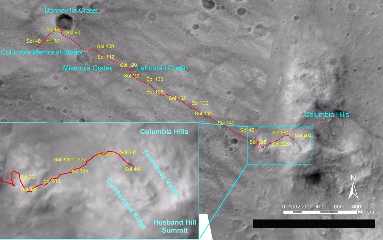
Spirit Traverse Map, Sol 404
NASA's Mars Exploration Rover Spirit drove a total of 4,143 meters (2.57 miles) between its landing in January 2004 and its 404th martian day, or sol (Feb. 20, 2005). This map on an image taken by the Mars Orbiter Camera on NASA's Mars Global Surveyor shows the course the rover drove during that time. The rover has recently been approaching a ridge overlooking "Tennessee Valley" on the north flank of "Husband Hill." http://photojournal.jpl.nasa.gov/catalog/PIA07393
- Date
- 2005-02-26
- Photographer / author
- NASA/JPL/MSSS/OSU
- Collection
- JPL
- Archive
- NASA Image and Video Library
- Type
- photograph
Public domainsafest
Reason: a NASA work: not copyrighted in the United States.
Read from: NASA media usage guidelines: NASA material is not copyrighted in the US unless noted; no third-party credit or mark found.
Credit line
"Spirit Traverse Map, Sol 404" (2005-02-26). NASA/JPL/NASA/JPL/MSSS/OSU. Public domain. https://images.nasa.gov/details/PIA07393Need photos for a whole script? Add Find Any Photo to Claude and ask for this one by its id: 22915.
More like this
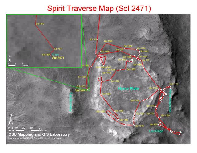
Spirit Traverse Map, Sol 2471
2010-12-17 · NASA Image and Video Library
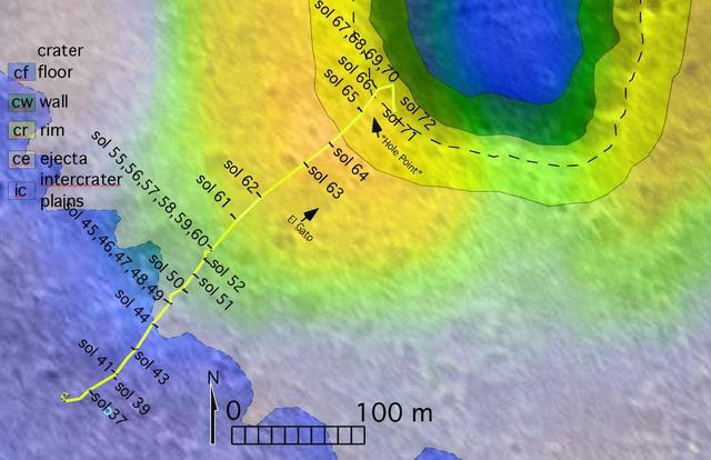
To Bonneville and Beyond
2004-03-18 · NASA Image and Video Library
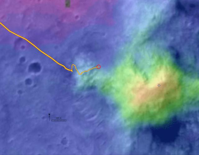
Digital Elevation Map of Spirit Trek
2004-12-08 · NASA Image and Video Library
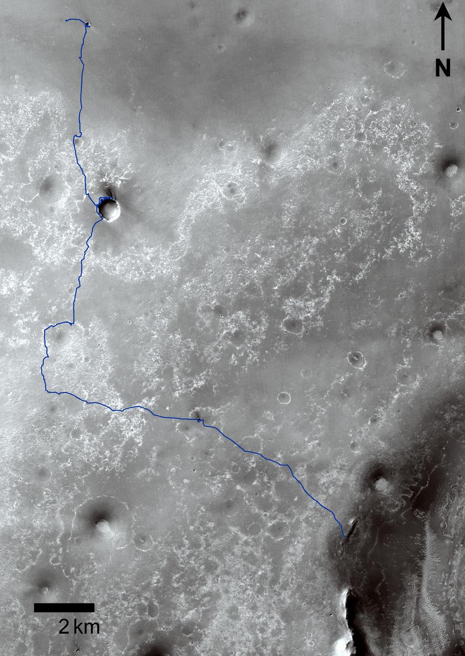
Opportunity Traverses Through 2,700 Martian Days
2011-09-01 · NASA Image and Video Library
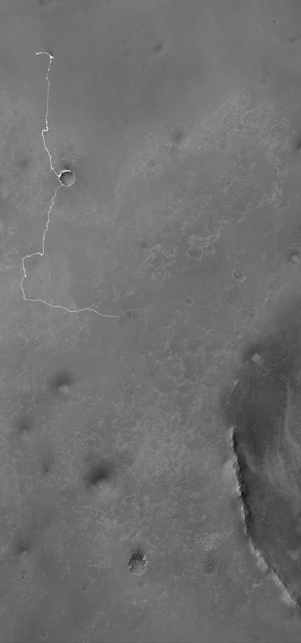
Opportunity Martian Traverse Through Sol 2442
2010-12-10 · NASA Image and Video Library
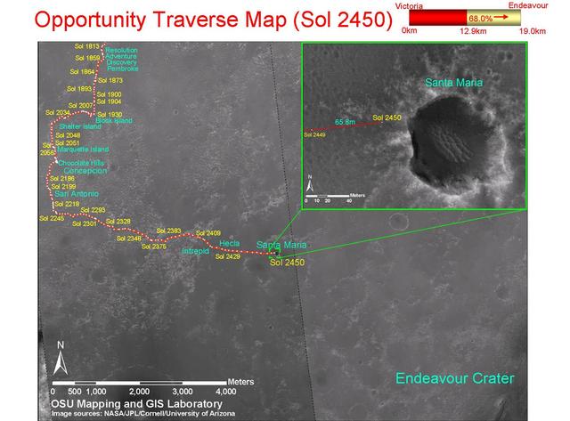
Opportunity Traverse Map, Sol 2450
2010-12-17 · NASA Image and Video Library
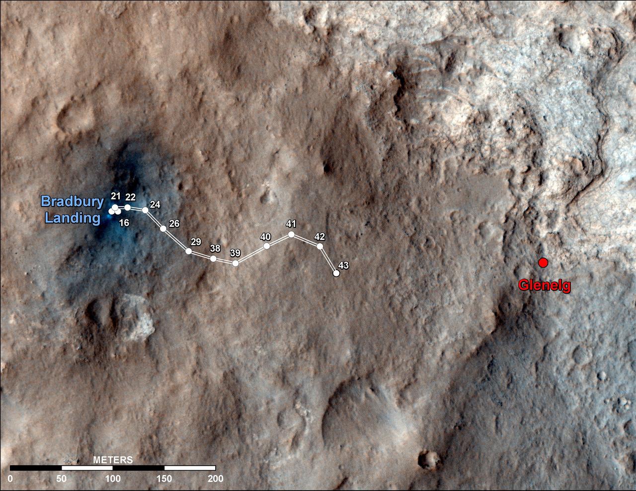
Curiosity Traverse Map Through Sol 43
2012-09-19 · NASA Image and Video Library

Eagle to Endeavour: Opportunity Path, Sol 2609
2011-06-08 · NASA Image and Video Library