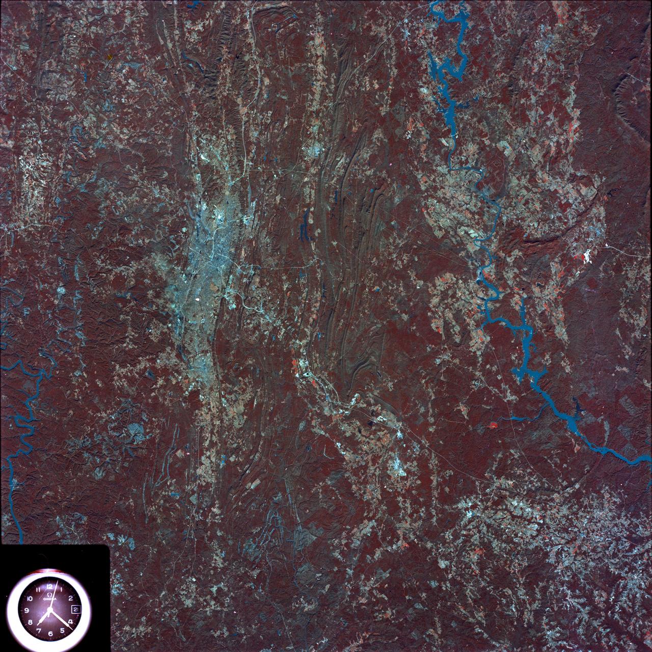
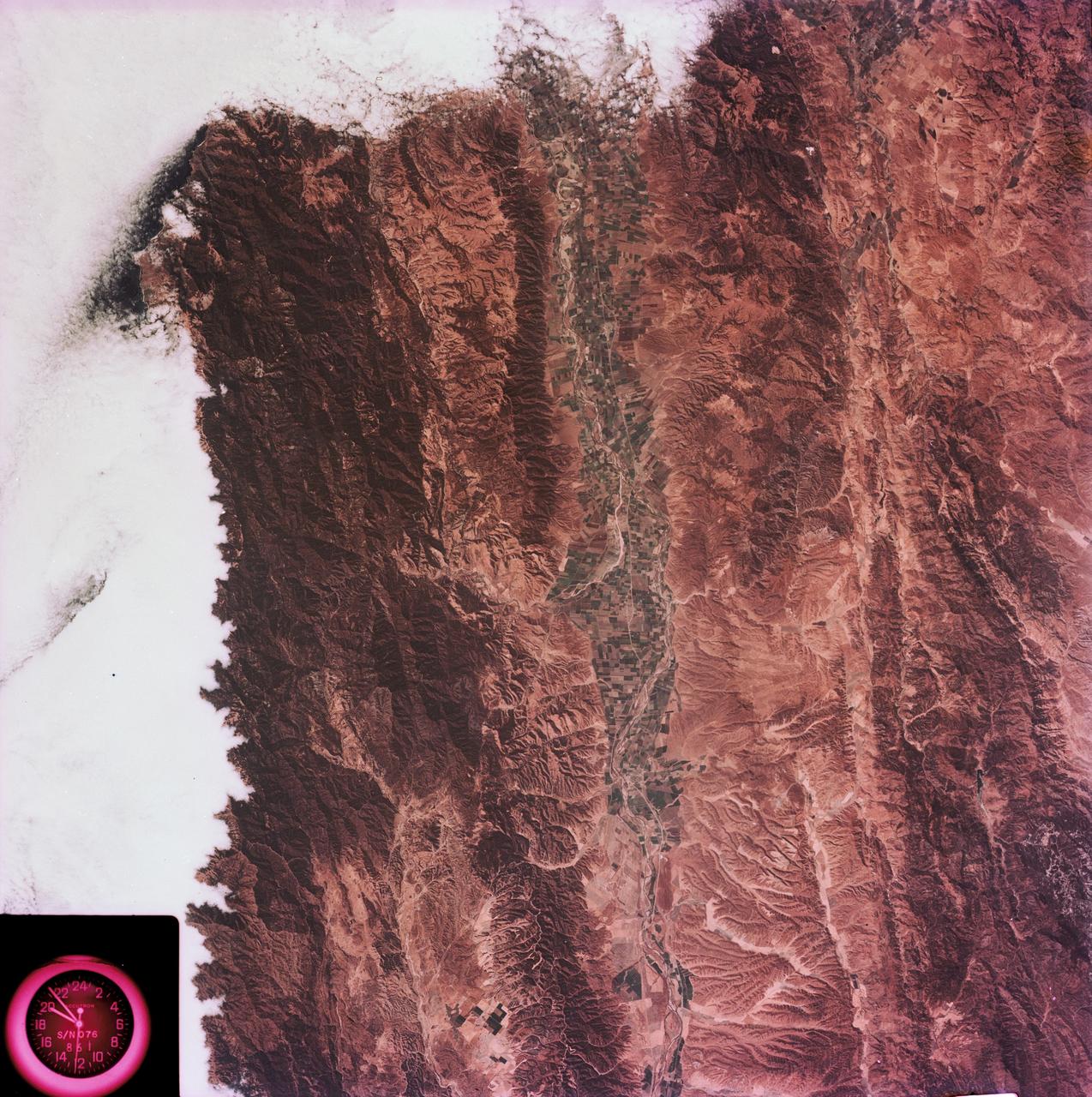
Birmingham and central Alabama area seen in Earth Resources Exp. Package
SL4-93-153 (February 1974) --- A vertical view of the Birmingham and central Alabama area is seen in this Skylab 4 Earth Resources Experiments Package S190-B (five-inch earth terrain camera) infrared photographed taken from the Skylab space station in Earth orbit. Illustrated here is the utility of color infrared film in depicting distribution of living vegetation in the 3,600 square mile Birmingham region. The Birmingham industrial complex, with a population of nearly 850,000, is the light gray area nestled in the valley between the northeast-trending ridges that are prominent topographic features in the southern Appalachian Mountains. The narrow ridges and adjacent valleys reflect folded and faulted sedimentary rocks, indicating the complex geological history of the region. Two major rivers and several reservoirs are easily distinguished in this photograph. Bankhand Lake, formed by a dam on the Black Warrior River, appears as bright blue west of Birmingham. Two lakes are formed by dams on the Goosa River east of Birmingham. Federal and state highways appear as thin white lines and are easily identified. Interstate 65 to Montgomery is the prominent white line extending southward f
- Date
- 1974-02-01
- Collection
- JSC
- Archive
- NASA Image and Video Library
- Type
- photograph
Public domainsafest
Reason: a NASA work: not copyrighted in the United States.
Read from: NASA media usage guidelines: NASA material is not copyrighted in the US unless noted; no third-party credit or mark found.
Credit line
"Birmingham and central Alabama area seen in Earth Resources Exp. Package" (1974-02-01). NASA/JSC. Public domain. https://images.nasa.gov/details/SL4-93-153Need photos for a whole script? Add Find Any Photo to Claude and ask for this one by its id: 13837.
More like this
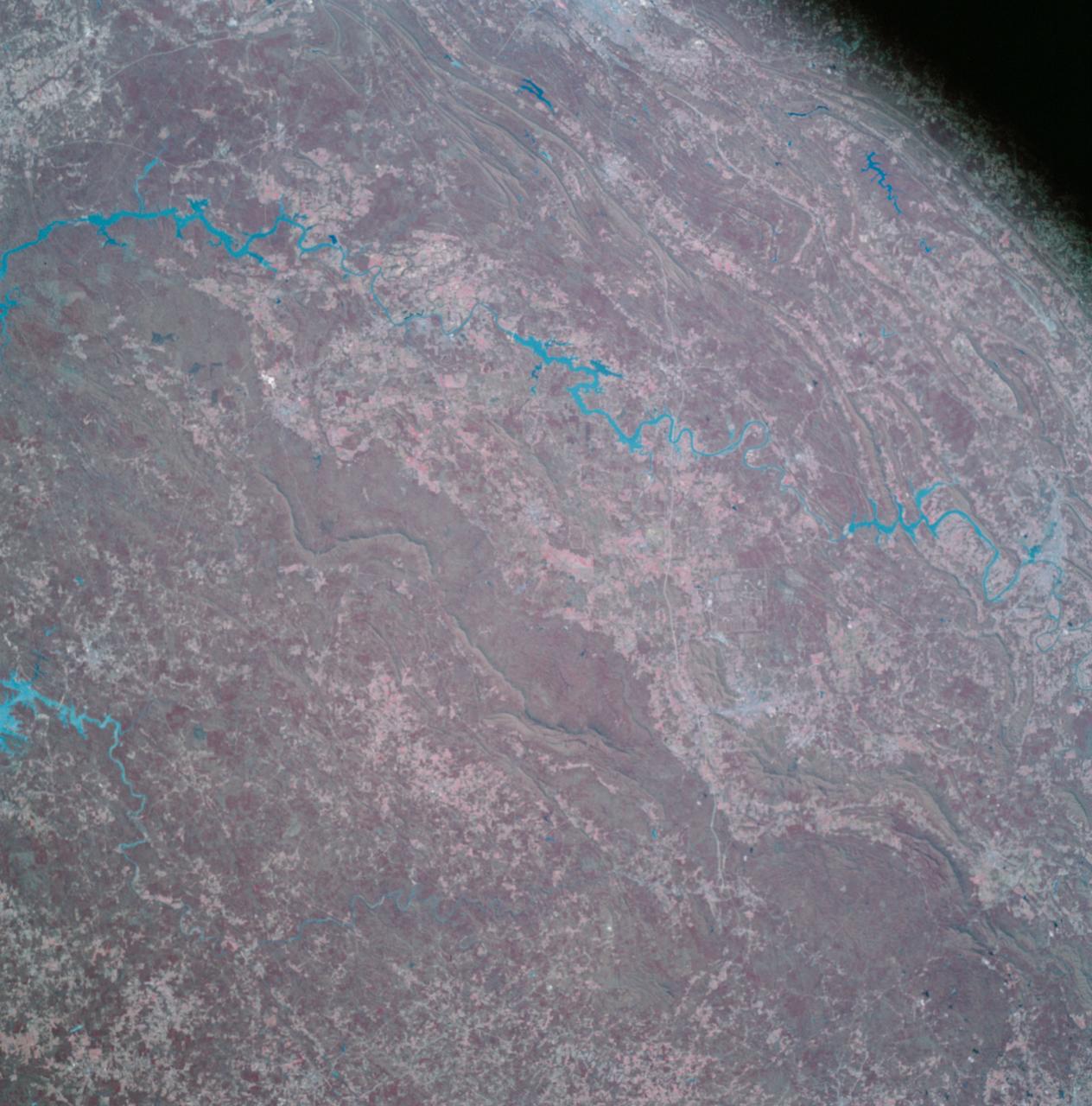
Apollo 9 Mission image - S0-65 Multispectral Photography - Alabama
2009-02-19 · NASA Image and Video Library
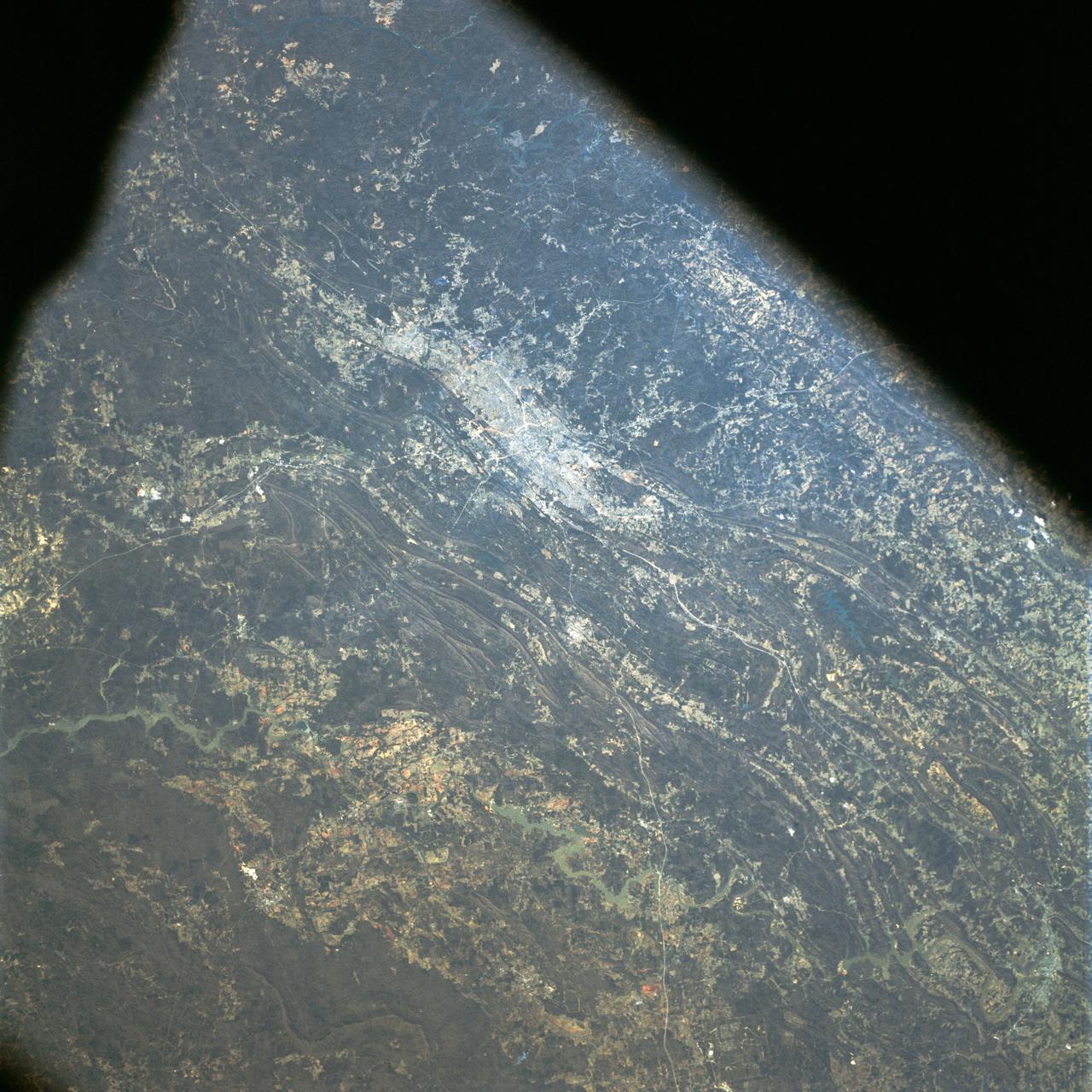
Near vertical view of Birmingham, Alabama as seen from Apollo 9
1969-03-11 · NASA Image and Video Library
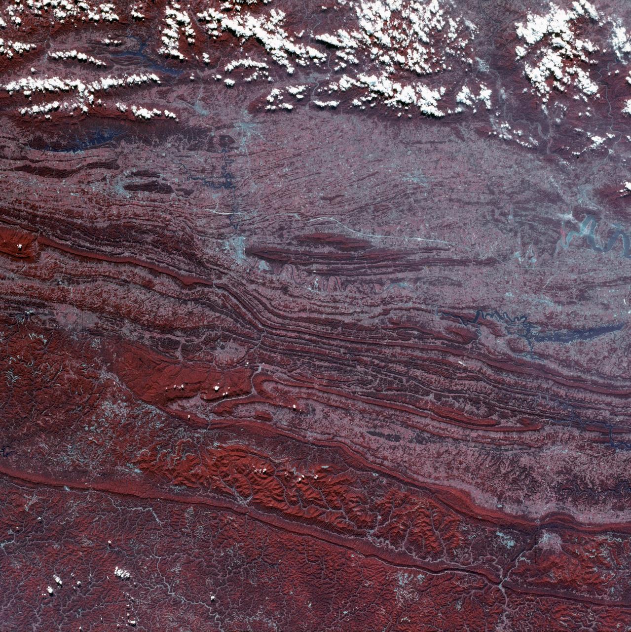
View of Virginia, Tennessee, Kentucky border area
1973-08-30 · NASA Image and Video Library
Mobile Bay, Alabama area seen in Skylab 4 Earth Resources Experiment Package
1974-02-01 · NASA Image and Video Library
View of Tennessee, Virginia, Kentucky border area
1973-08-15 · NASA Image and Video Library
Apollo 9 Mission image - S0-65 Multispectral Photography - Georgia
2009-02-19 · NASA Image and Video Library
View - Northeast Oklahoma (OK) - Metropolitan Tulsa Area - OK
1973-08-15 · NASA Image and Video Library
View of the Salinas River Valley area south of Monterey Bay, California
1973-08-15 · NASA Image and Video Library