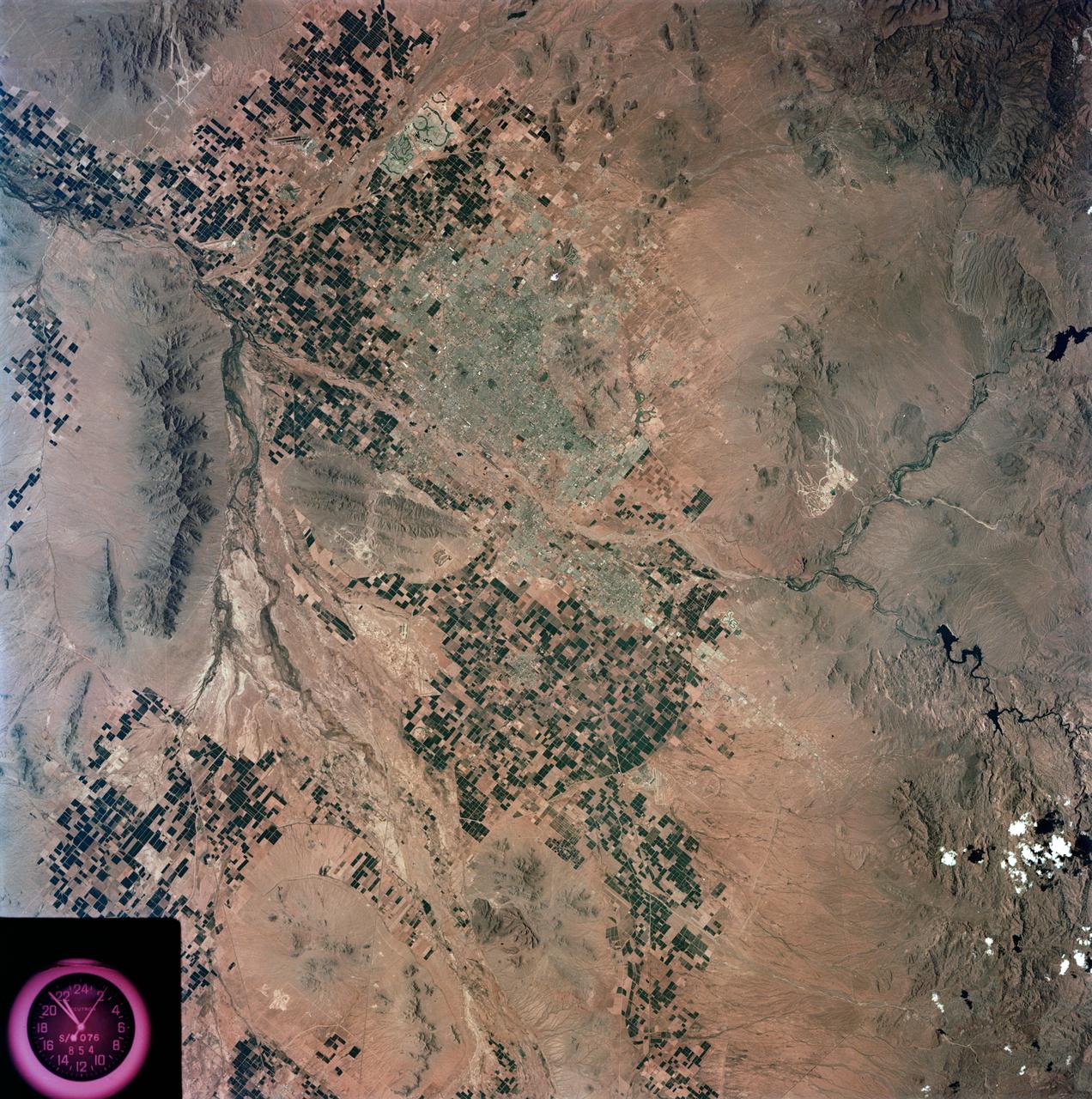
View - Phoenix, AZ - Metropolitan Area - AZ
S73-35078 (July-Sept. 1973) --- A nearly vertical view of the Phoenix, Arizona metropolitan area is seen in this Skylab 3 (second manning) Earth Resources Experiments Package S190-B (five-inch Earth terrain camera) photograph taken from the Skylab space station in Earth orbit. Also in the picture are Scottsdale, Paradise Valley, Tempe, Mesa, Komatke, Salt River Indian Reservation and part of the Gila River Indian Reservation. Features which can be delineated from the photograph include: cultural patterns defined by commercial, industrial, agricultural and residential areas; transportation networks consisting of major corridors, primary, secondary and feeder streets; major urban developments in the area such as airports, Squaw Peak City Park, Turf Paradise Race Track and the State Fairgrounds. Phoenix is one of the 27 census cities of interest under study by the U.S. Geological Survey and is the center of the Arizona Regional Ecological Test Site. A large number of investigators will be using the Skylab data. This photo will be compared to earlier ones to document changes in the urban area with time. The landscape is well defined in terms of mountains, alluvial fans and river flood
- Date
- 1973-08-15
- Collection
- JSC
- Archive
- NASA Image and Video Library
- Type
- photograph
Public domainsafest
Reason: a NASA work: not copyrighted in the United States.
Read from: NASA media usage guidelines: NASA material is not copyrighted in the US unless noted; no third-party credit or mark found.
Credit line
"View - Phoenix, AZ - Metropolitan Area - AZ" (1973-08-15). NASA/JSC. Public domain. https://images.nasa.gov/details/s73-35078Need photos for a whole script? Add Find Any Photo to Claude and ask for this one by its id: 13732.
More like this
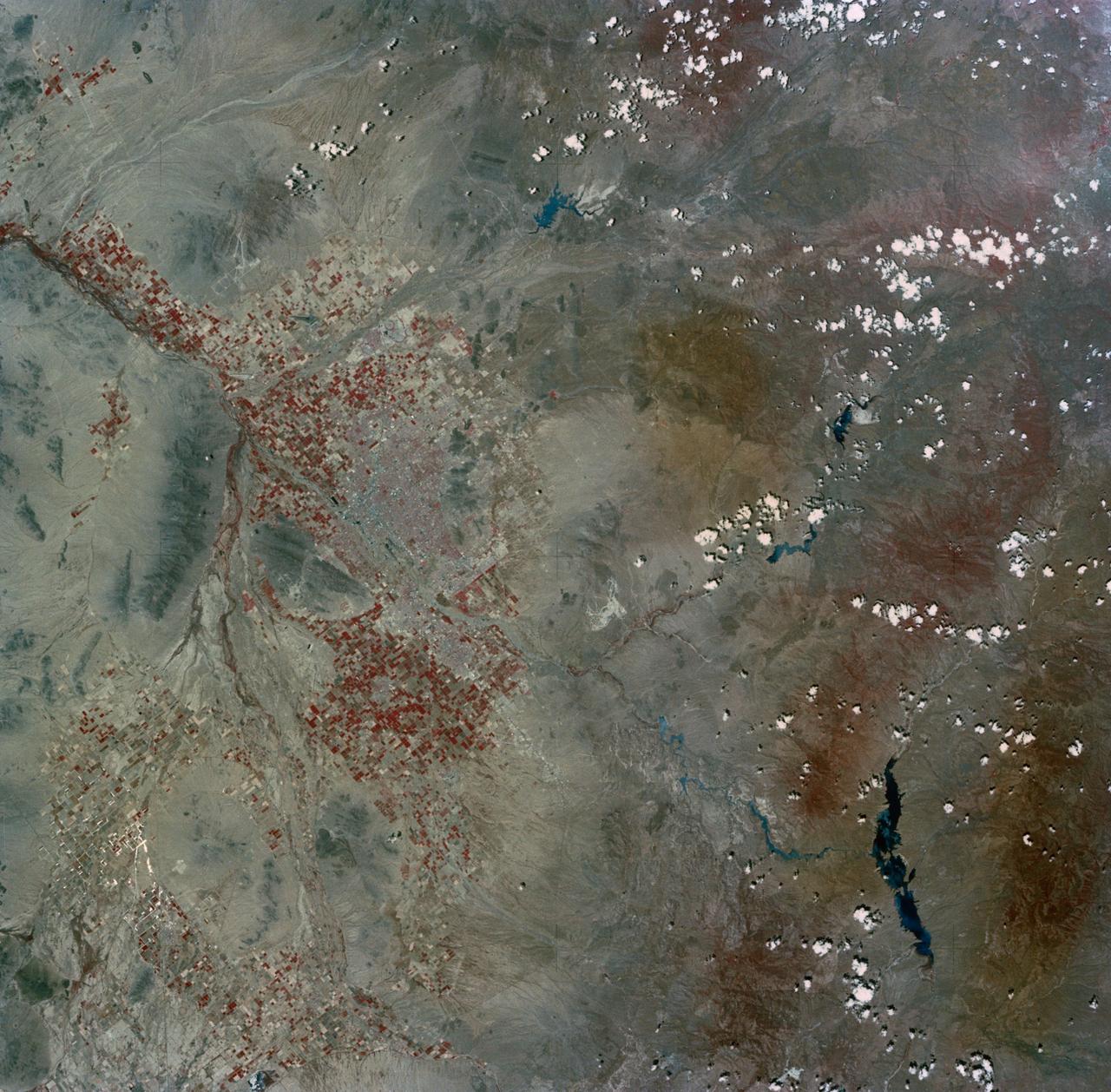
Phoenix, AZ, USA
1973-06-22 · NASA Image and Video Library
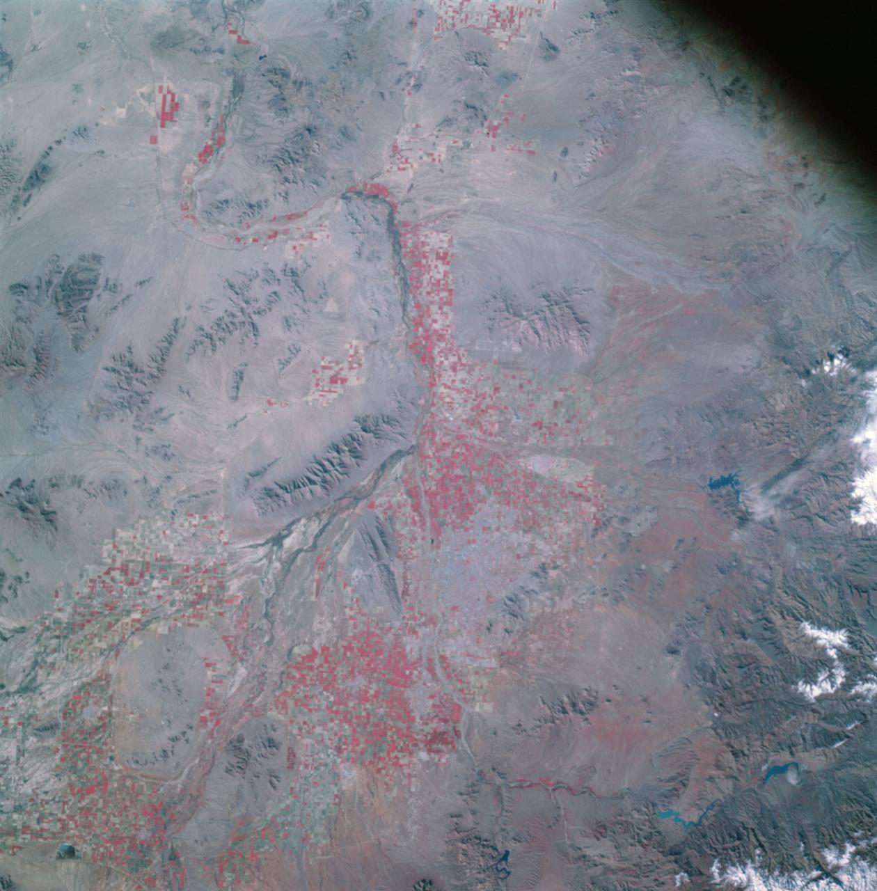
Apollo 9 Mission image - S0-65 Multispectral Photography - Arizona
2009-02-19 · NASA Image and Video Library
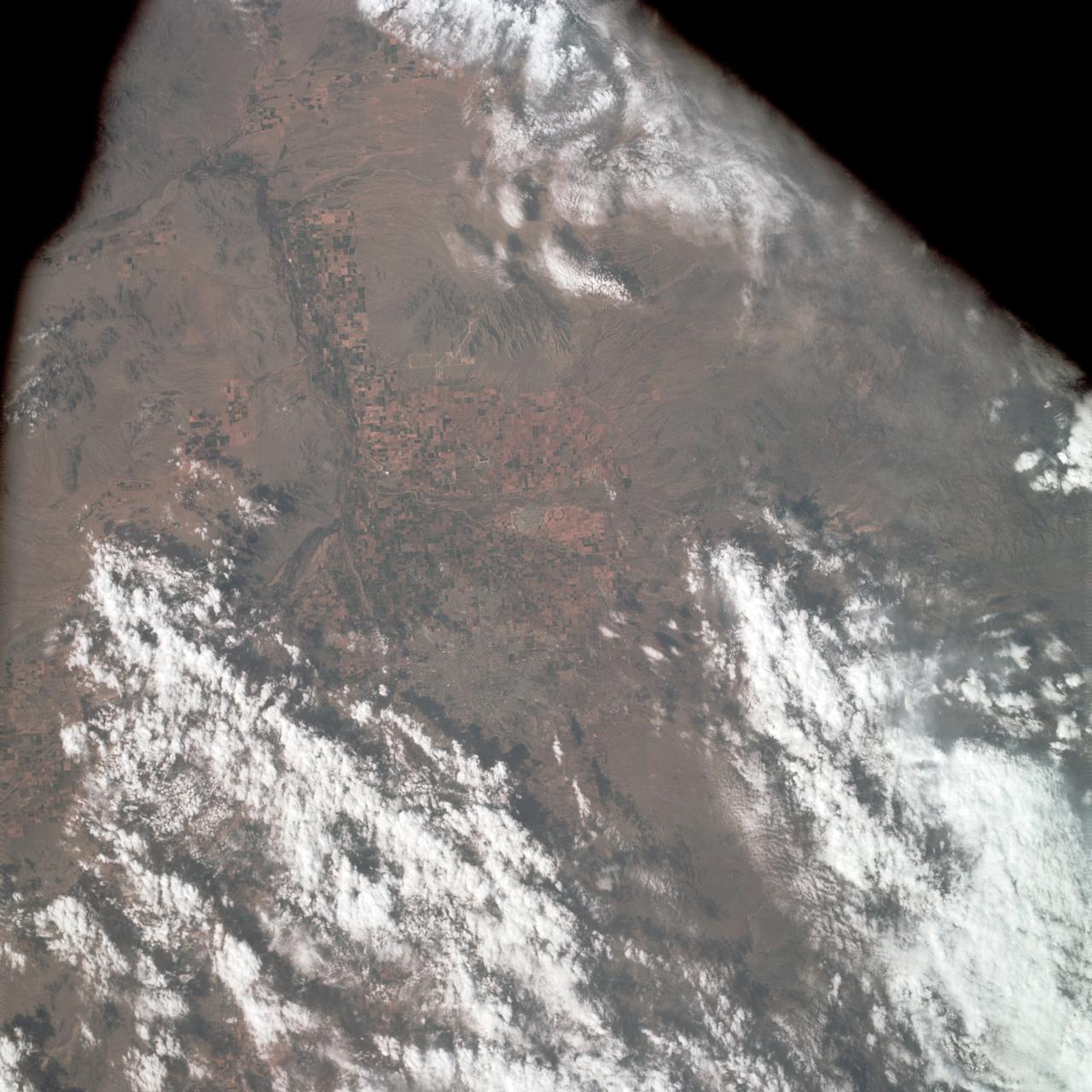
Near vertical view of Phoenix, Arizona as seen from Apollo 9
1969-03-09 · NASA Image and Video Library
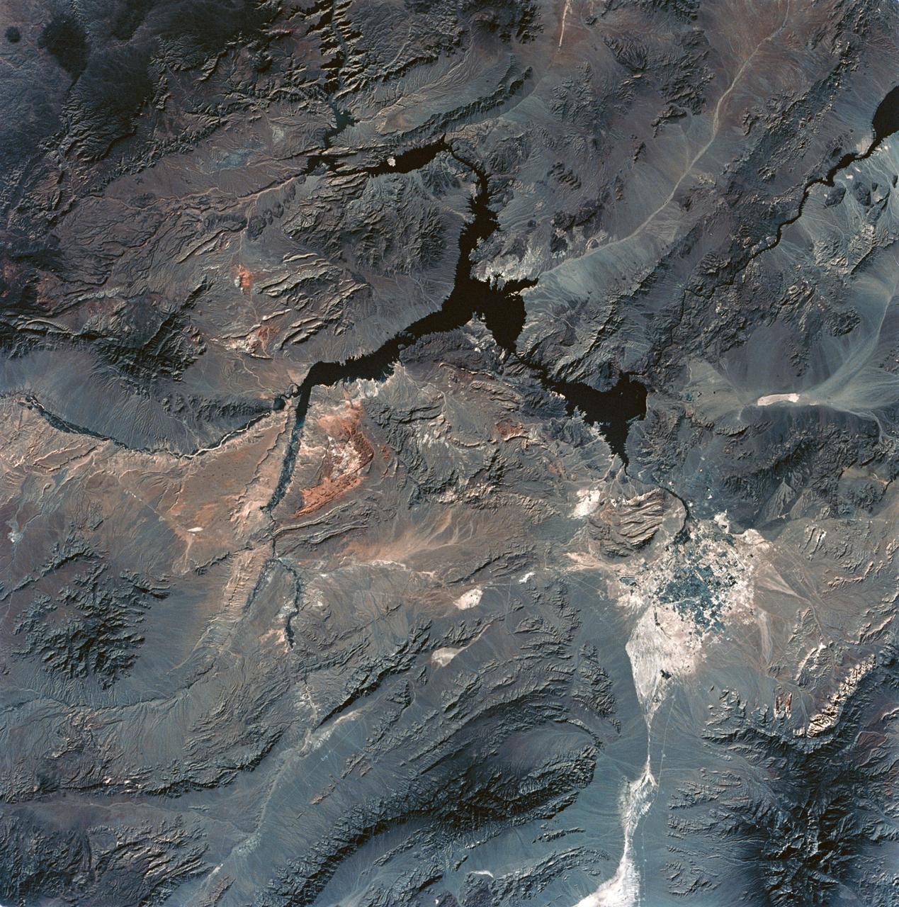
View of Lake Mead and Las Vegas, Nevada area from Sklyab
1973-08-01 · NASA Image and Video Library
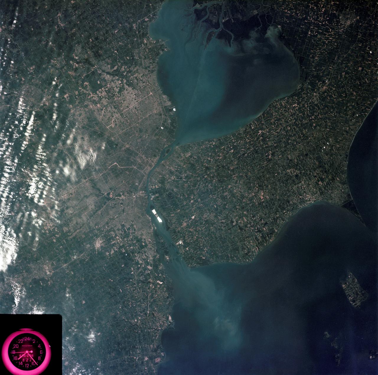
Detroit, Michigan metropolitan area photographed from Skylab
1973-08-05 · NASA Image and Video Library
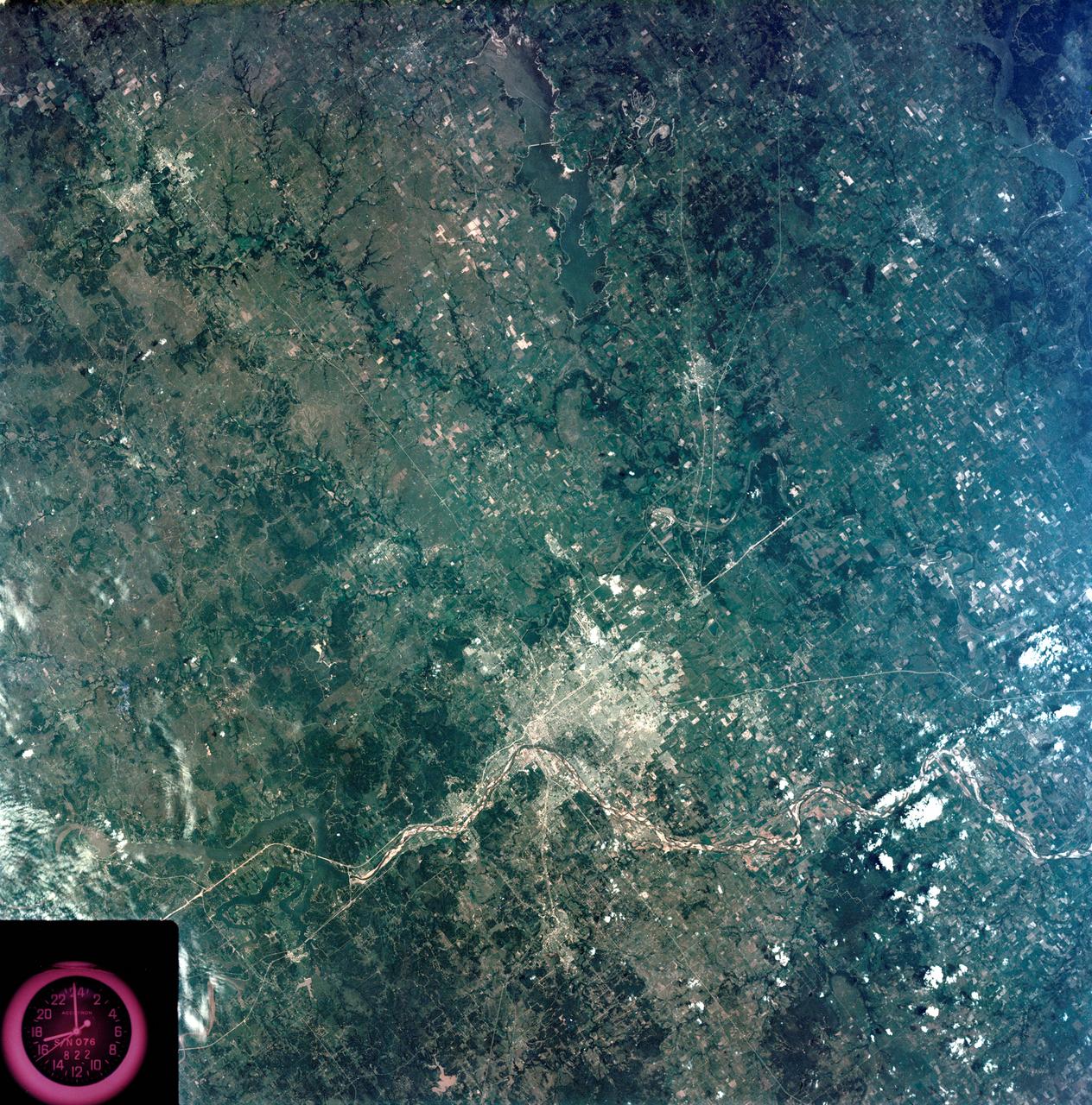
View - Northeast Oklahoma (OK) - Metropolitan Tulsa Area - OK
1973-08-15 · NASA Image and Video Library
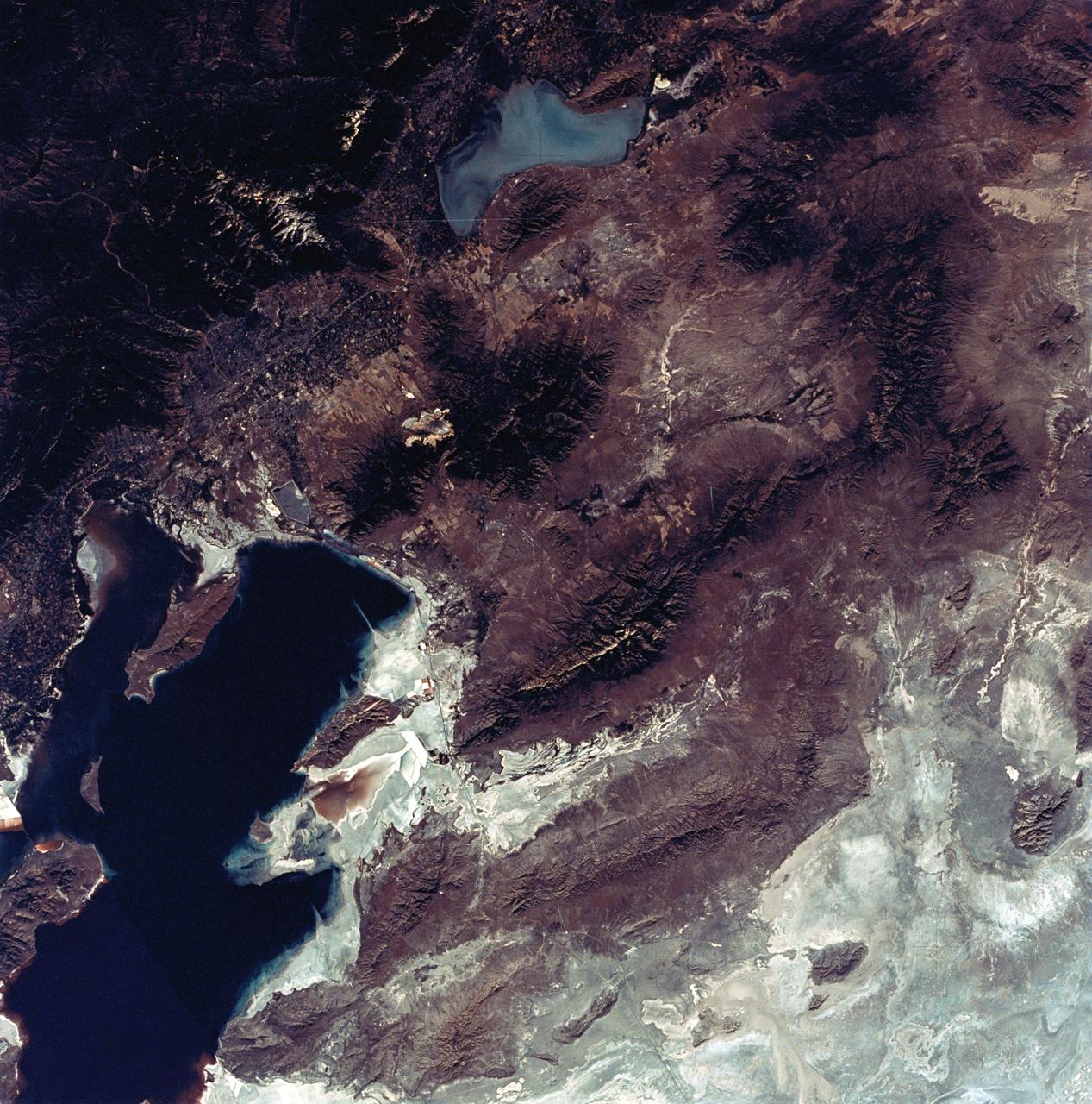
View of the Salt Lake City, Utah area
1973-08-30 · NASA Image and Video Library
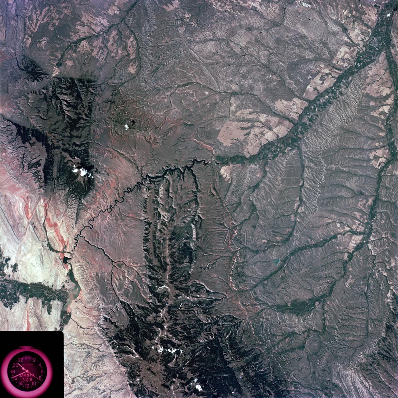
Slylab (SL)-3 View - North Central Wyoming (WY) - Southern Montana (MT)
1973-08-15 · NASA Image and Video Library