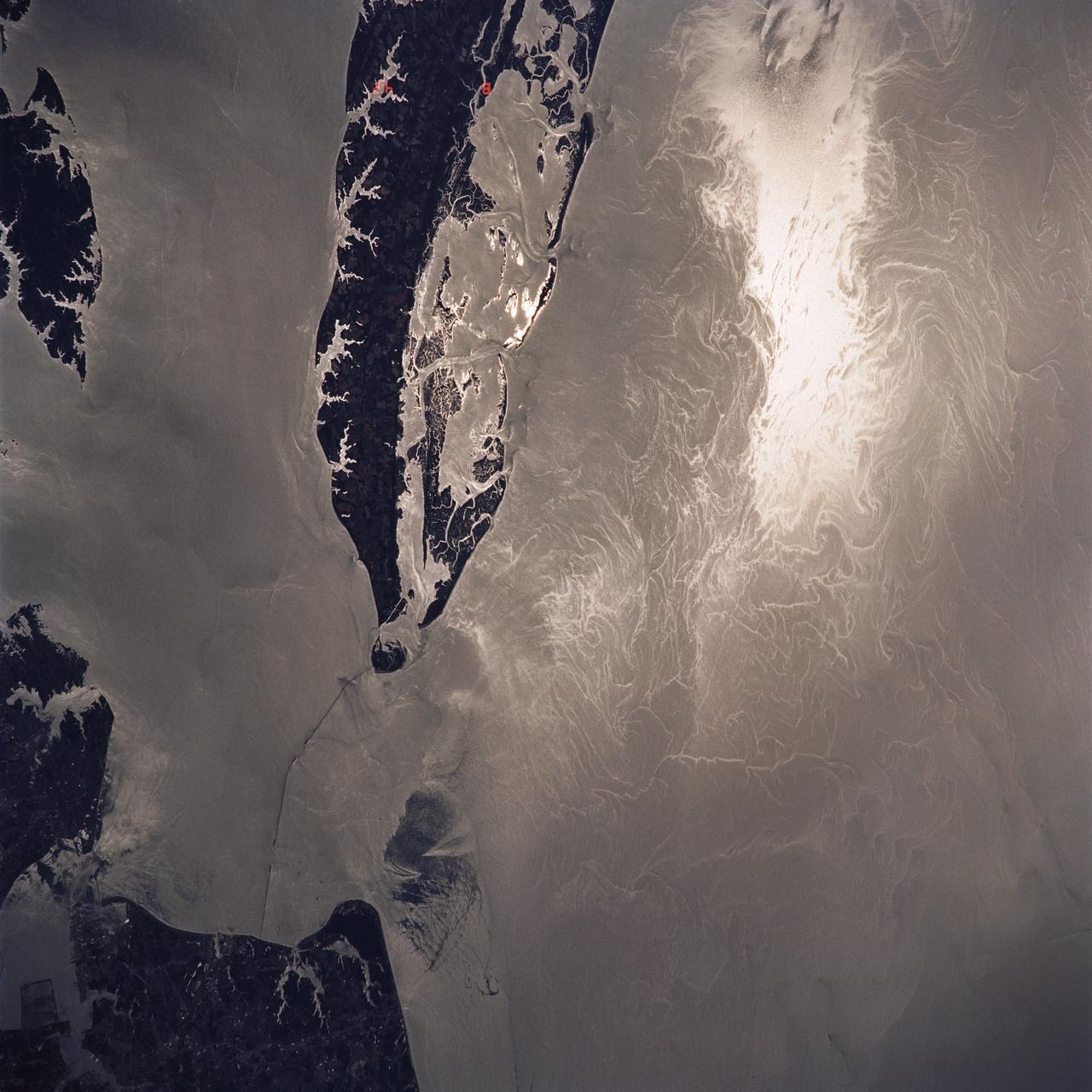
Water Surface Turbulance and Internal Waves, Norfolk, VA, USA
STS040-614-047 (5-14 June 1991) --- This image is of the Norfolk, Virginia -- Southern Delmarva Peninsula Southern Chesapeake Bay Area as seen in sunlight. The exposure is adjusted to emphasize the water patterns present. The outgoing tide generates considerable turbulence as it passes through the mouth of the bay. This is displayed by differences in reflective properties of the water surface due to differences in slope and turbidity. Ship wakes and the wakes of subsurface structures are seen clearly. The bridge tunnel system linking Norfolk with the peninsula and its effect on the system is quite apparent. Sunglint images over land areas were also acquired which emphasize land-water boundaries as demonstrated here in the small Delmarva inlets as a tool for wetland mapping, and river, lake and even pond description. During the first few days of the STS-40 mission the Eastern Seaboard of the United States was free of clouds and haze providing excellent photography of many of the major cities and the countryside of that area as well as the Gulf Stream.
- Date
- 1991-06-14
- Collection
- JSC
- Archive
- NASA Image and Video Library
- Type
- photograph
Public domainsafest
Reason: a NASA work: not copyrighted in the United States.
Read from: NASA media usage guidelines: NASA material is not copyrighted in the US unless noted; no third-party credit or mark found.
Credit line
"Water Surface Turbulance and Internal Waves, Norfolk, VA, USA" (1991-06-14). NASA/JSC. Public domain. https://images.nasa.gov/details/s40-614-047Need photos for a whole script? Add Find Any Photo to Claude and ask for this one by its id: 15311.
More like this
Chesapeake Bay as seen from STS-58
1993-10-30 · NASA Image and Video Library
Strait of Gibraltar as seen from STS-58
1993-10-20 · NASA Image and Video Library
Open ocean Internal Waves, Namibia Coast, Africa.
1990-12-10 · NASA Image and Video Library

STS-54 Earth observation of a ship wake in the Bay of Bengal
1993-01-19 · NASA Image and Video Library
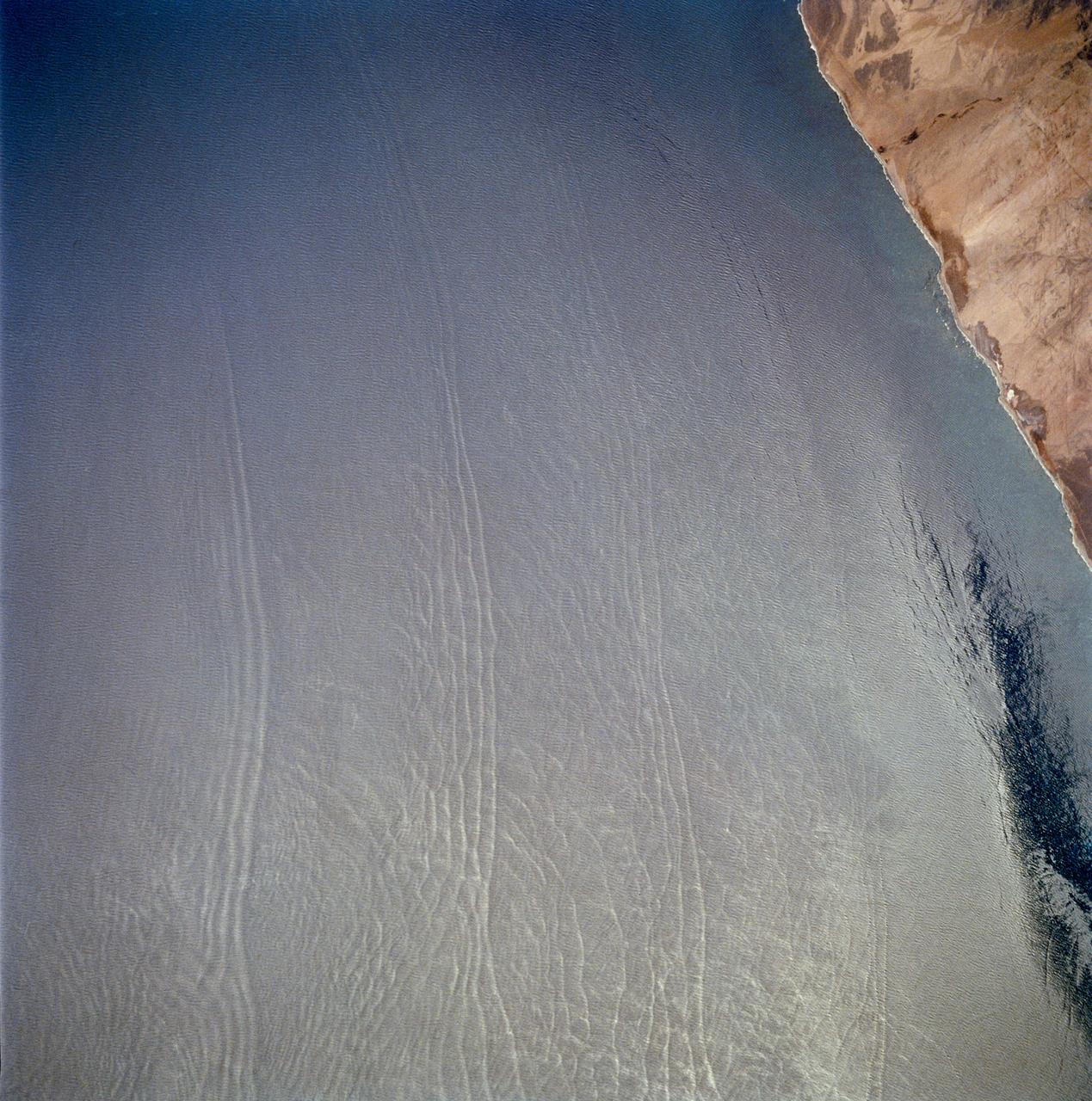
Open ocean Internal Waves, Namibia Coast, Africa.
1990-12-10 · NASA Image and Video Library
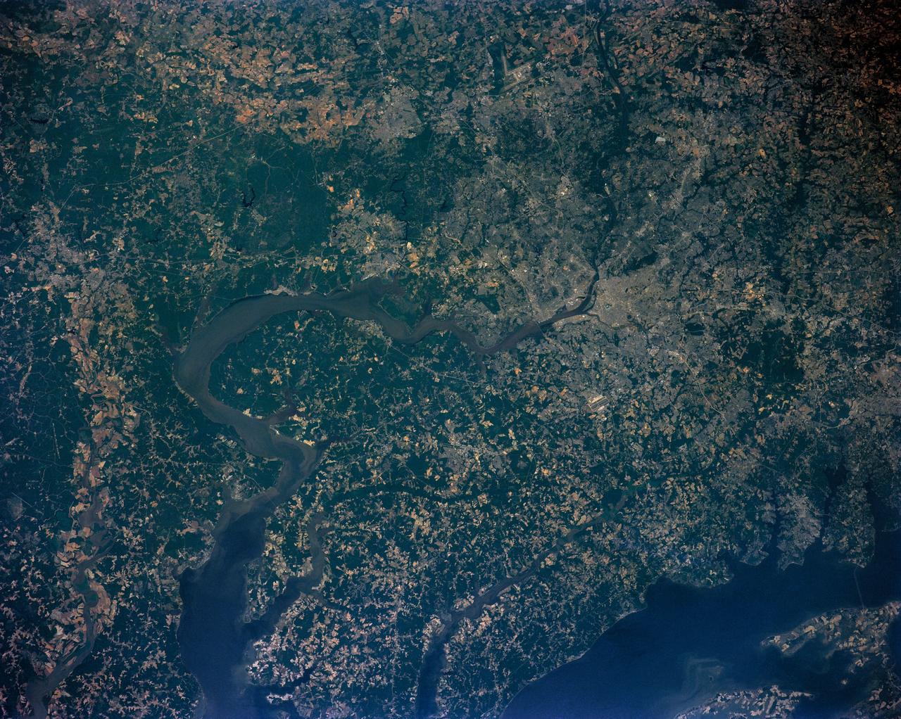
Washington D.C. region, USA
1991-06-14 · NASA Image and Video Library

Strait of Gibraltar seen from STS-66
1994-11-14 · NASA Image and Video Library
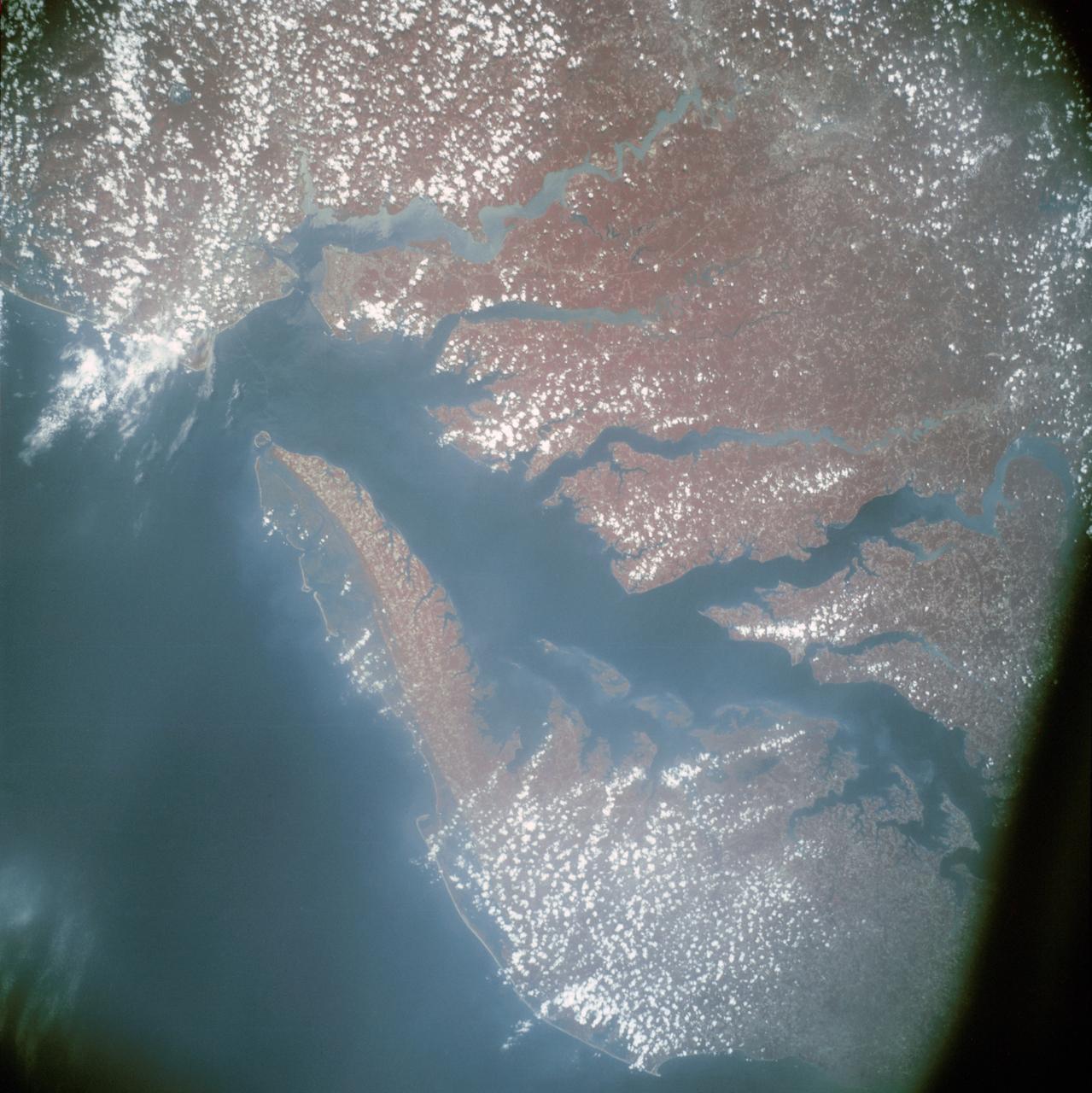
Infrared view of Chesapeake Bay showing Virginia, Maryland and Delaware
1975-07-24 · NASA Image and Video Library