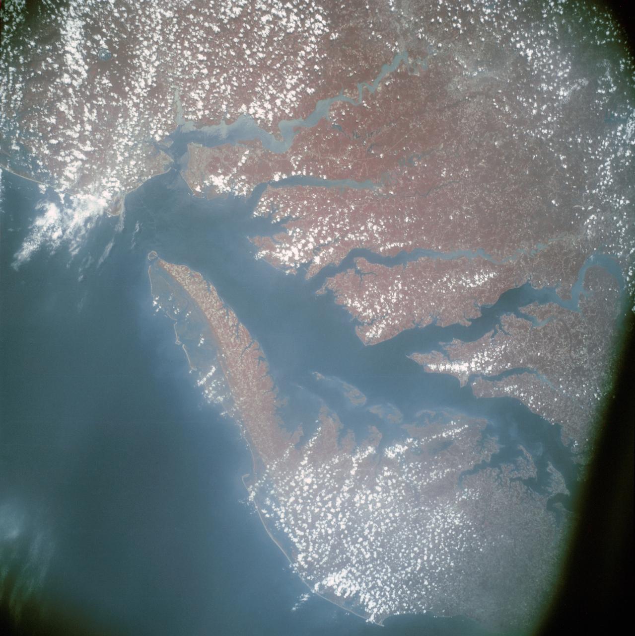
Infrared view of Chesapeake Bay showing Virginia, Maryland and Delaware
AST-13-797 (24 July 1975) --- An infrared, near vertical view of the Chesapeake Bay area showing portions of Virginia, Maryland and Delaware, as photographed from the Apollo spacecraft in Earth orbit during the joint U.S.-USSR Apollo-Soyuz Test Project mission. Richmond and Norfolk can be seen in this picture. Tidewater Virginia covers much of this view. The photograph was taken at an altitude of 217 kilometers (135 statute miles) with a 70mm Hasselblad camera using infrared Aerochrome type 2443 Ektachrome film.
- Date
- 1975-07-24
- Collection
- JSC
- Archive
- NASA Image and Video Library
- Type
- photograph
Public domainsafest
Reason: a NASA work: not copyrighted in the United States.
Read from: NASA media usage guidelines: NASA material is not copyrighted in the US unless noted; no third-party credit or mark found.
Credit line
"Infrared view of Chesapeake Bay showing Virginia, Maryland and Delaware" (1975-07-24). NASA/JSC. Public domain. https://images.nasa.gov/details/ast-13-797Need photos for a whole script? Add Find Any Photo to Claude and ask for this one by its id: 15509.
More like this
Chesapeake Bay, Potomac River
1973-06-22 · NASA Image and Video Library
Chesapeake Bay as seen from STS-58
1993-10-30 · NASA Image and Video Library
Washington, D.C. and the Baltimore, Maryland area
1973-08-15 · NASA Image and Video Library

North Carolina, Virginia, New Jersey, and New York area as seen from Apollo 9
1969-03-12 · NASA Image and Video Library
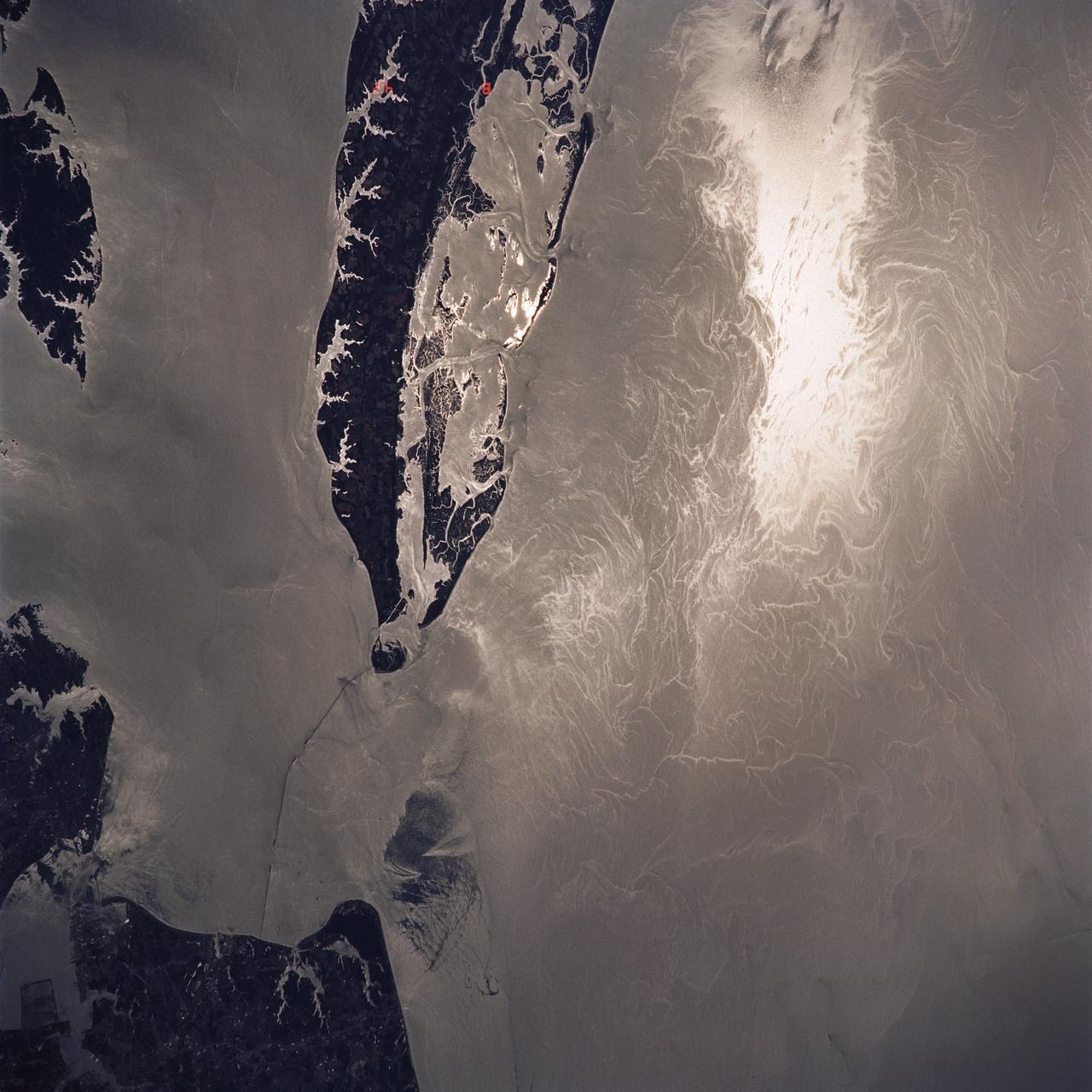
Water Surface Turbulance and Internal Waves, Norfolk, VA, USA
1991-06-14 · NASA Image and Video Library
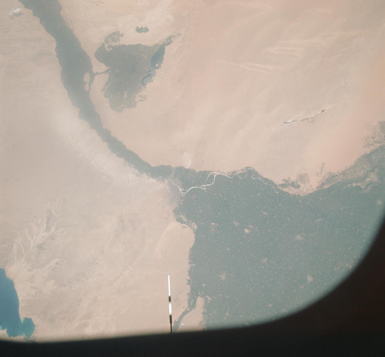
Vertical view of Arab Republic of Egypt from ASTP mission
1975-07-19 · NASA Image and Video Library
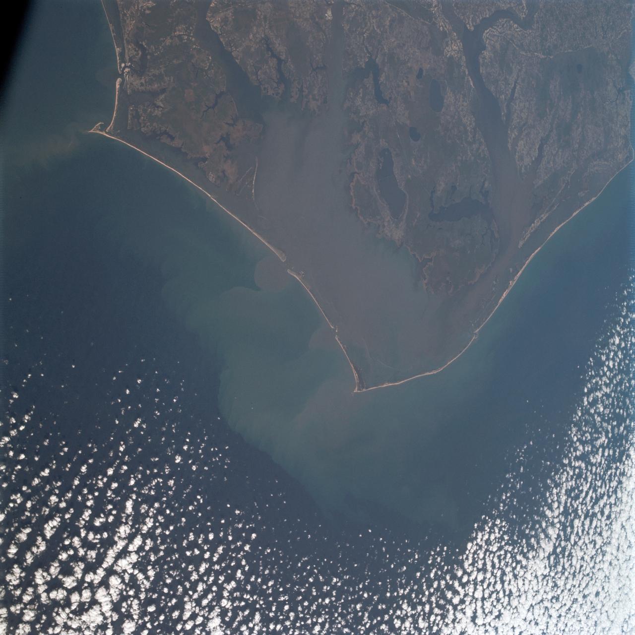
Cape Hatteras, North Carolina area as seen from Apollo 9
1969-03-12 · NASA Image and Video Library
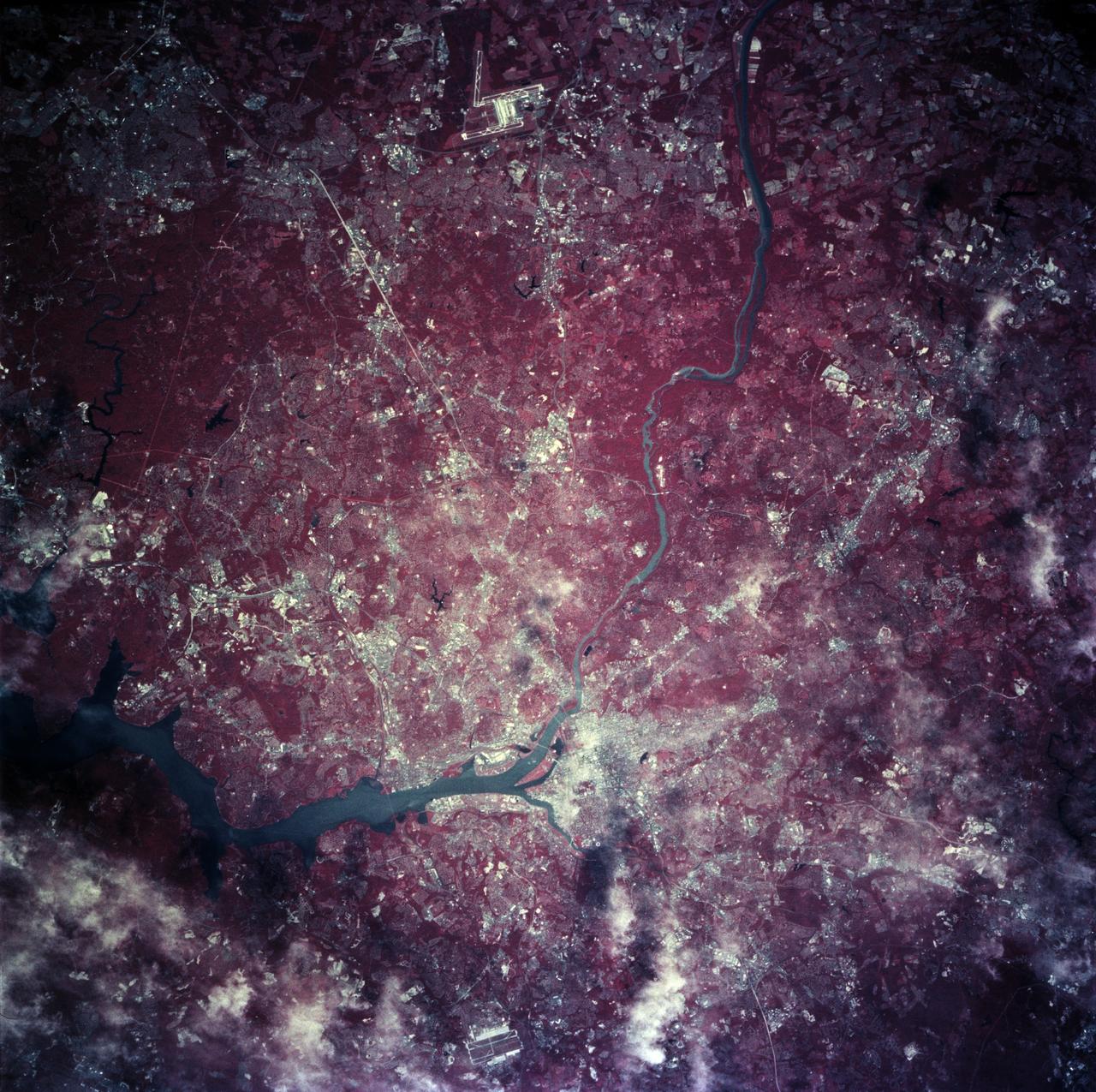
Earth observations taken from Space Shuttle Columbia during STS-78 mission
1996-06-28 · NASA Image and Video Library