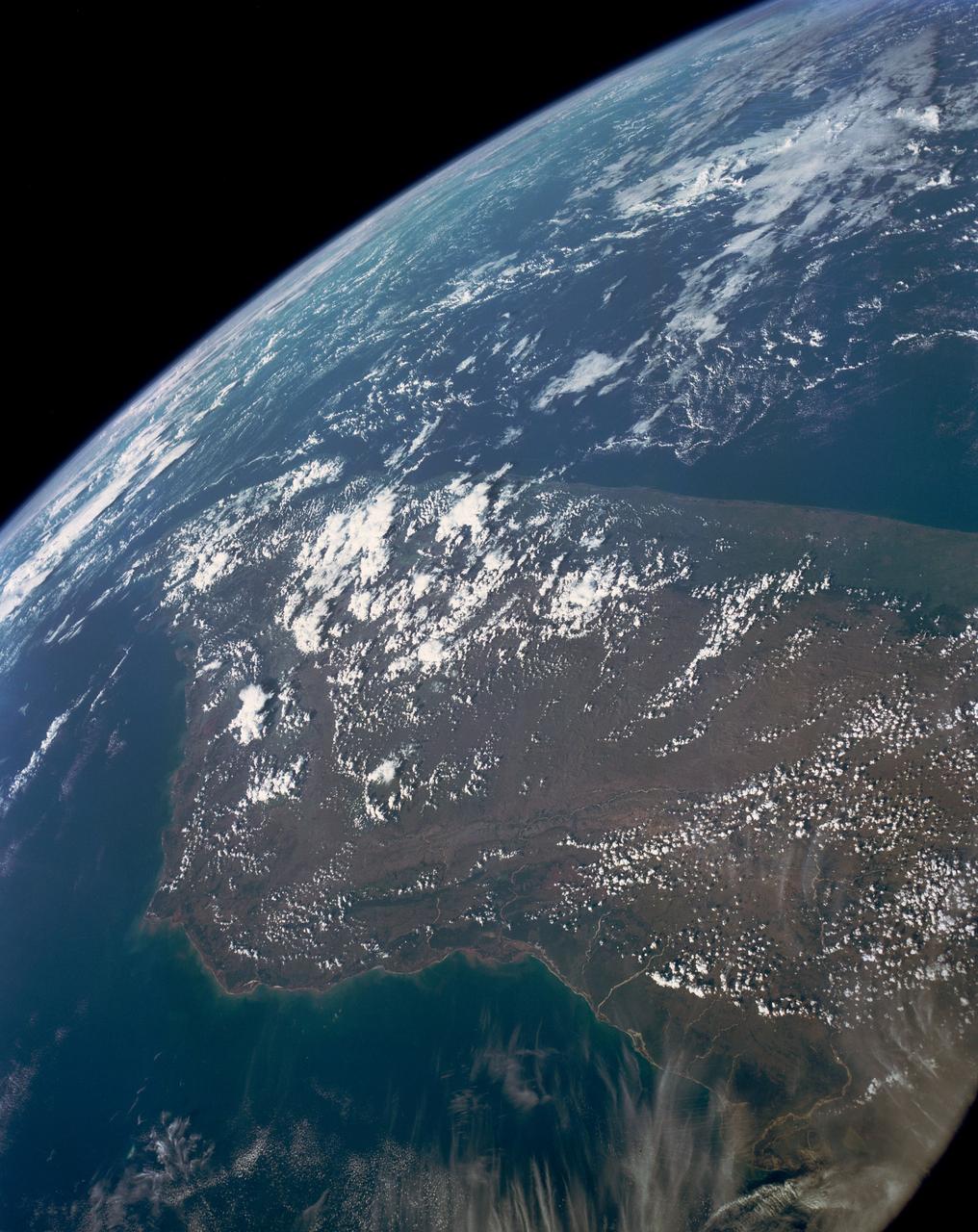
Deforestation, Madagascar
This high oblique view shows the majority of the island of Madagascar (19.0S, 47.5E). This Texas sized island is now largely deforested and is suffering from severe soil erosion as well as a declining biological species diversity and productivity. At the turn of the century, the island was almost totally forested but now, forests cover only about 10 percent of the surface. Evidence of soil erosion can be seen in the offshore sediment plumes.
- Date
- 1990-04-29
- Collection
- JSC
- Archive
- NASA Image and Video Library
- Type
- photograph
Public domainsafest
Reason: a NASA work: not copyrighted in the United States.
Read from: NASA media usage guidelines: NASA material is not copyrighted in the US unless noted; no third-party credit or mark found.
Credit line
"Deforestation, Madagascar" (1990-04-29). NASA/JSC. Public domain. https://images.nasa.gov/details/s31-152-000hsNeed photos for a whole script? Add Find Any Photo to Claude and ask for this one by its id: 14071.
More like this
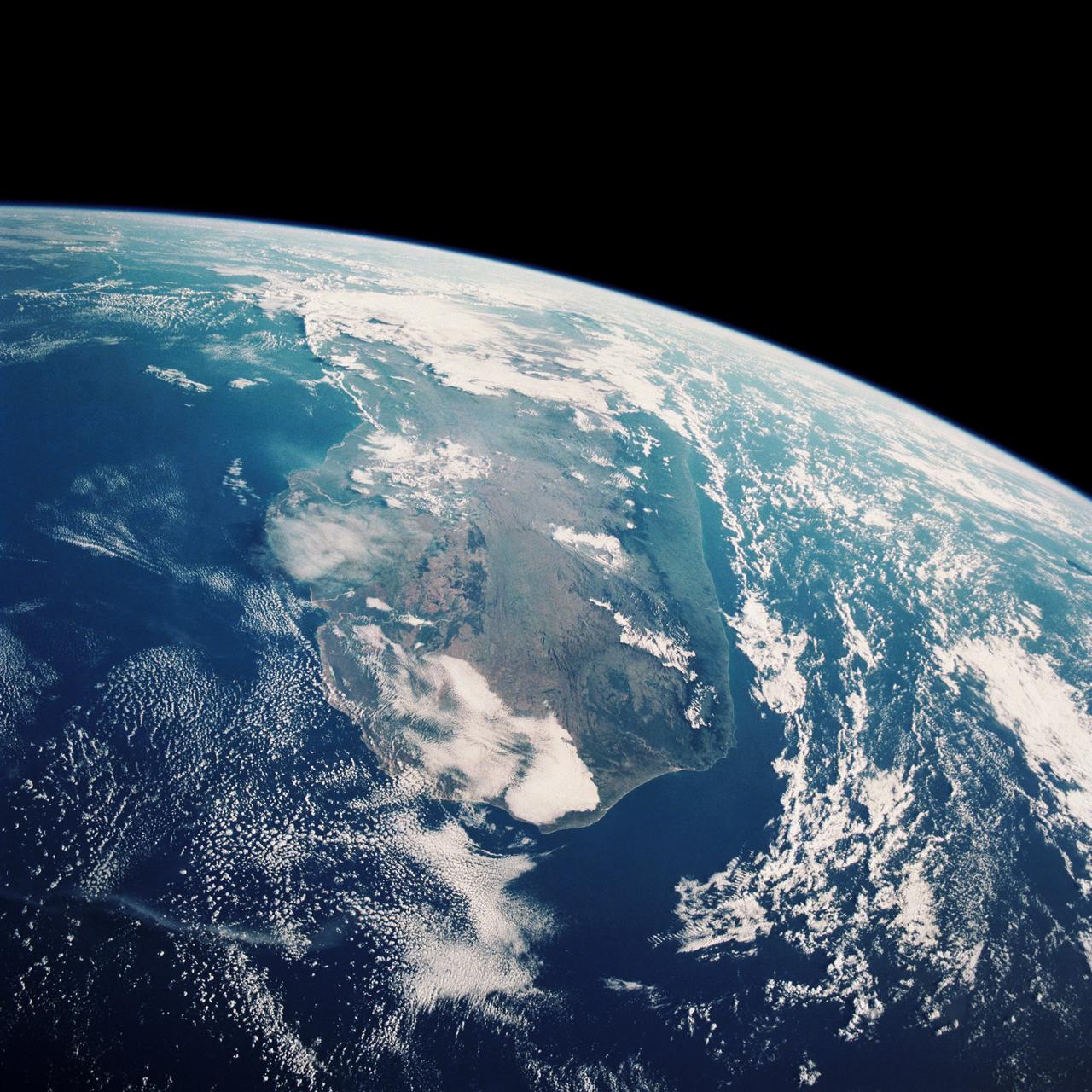
Deforestation, Madagascar
1989-11-27 · NASA Image and Video Library
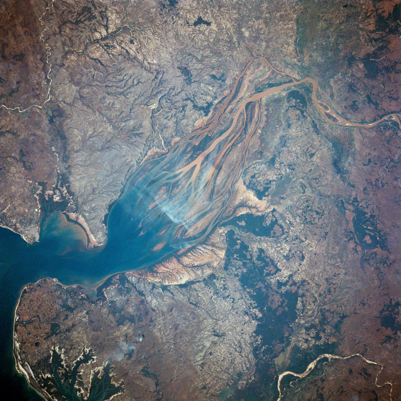
Betsiboka River Valley, Madagascar
1983-06-24 · NASA Image and Video Library
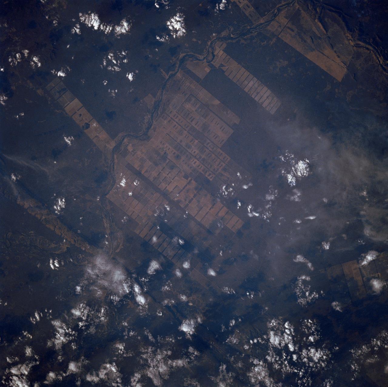
Agriculture, Rio Sao Francisco, Brazil, South America
1988-10-03 · NASA Image and Video Library
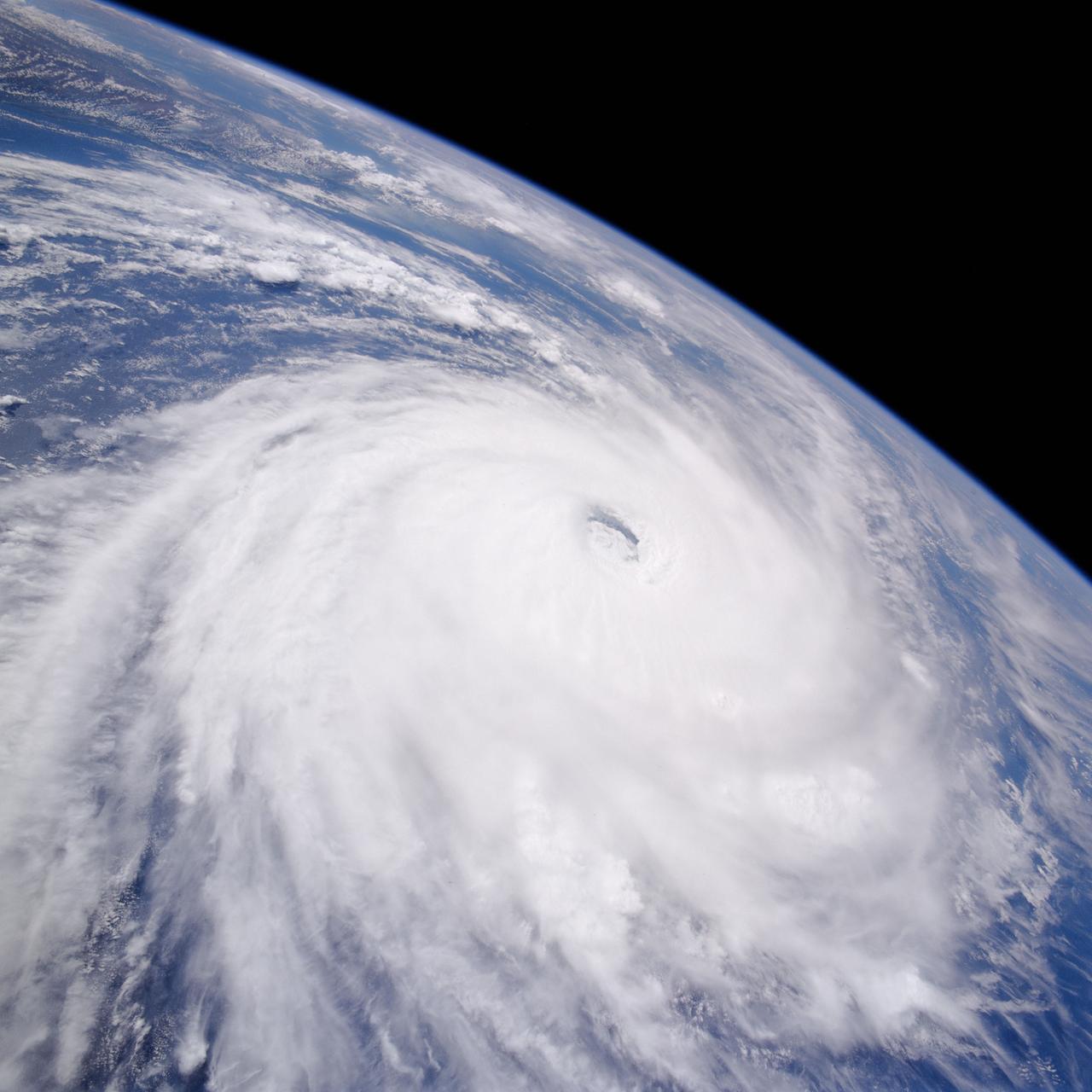
Earth observations taken from Space Shuttle Columbia during STS-80 mission
1996-12-06 · NASA Image and Video Library
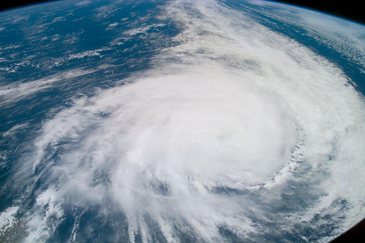
Earth observation taken from Space Shuttle Discovery during STS-82 mission
1997-02-15 · NASA Image and Video Library

Deforestation, Rondonia, Brazil
1992-08-08 · NASA Image and Video Library
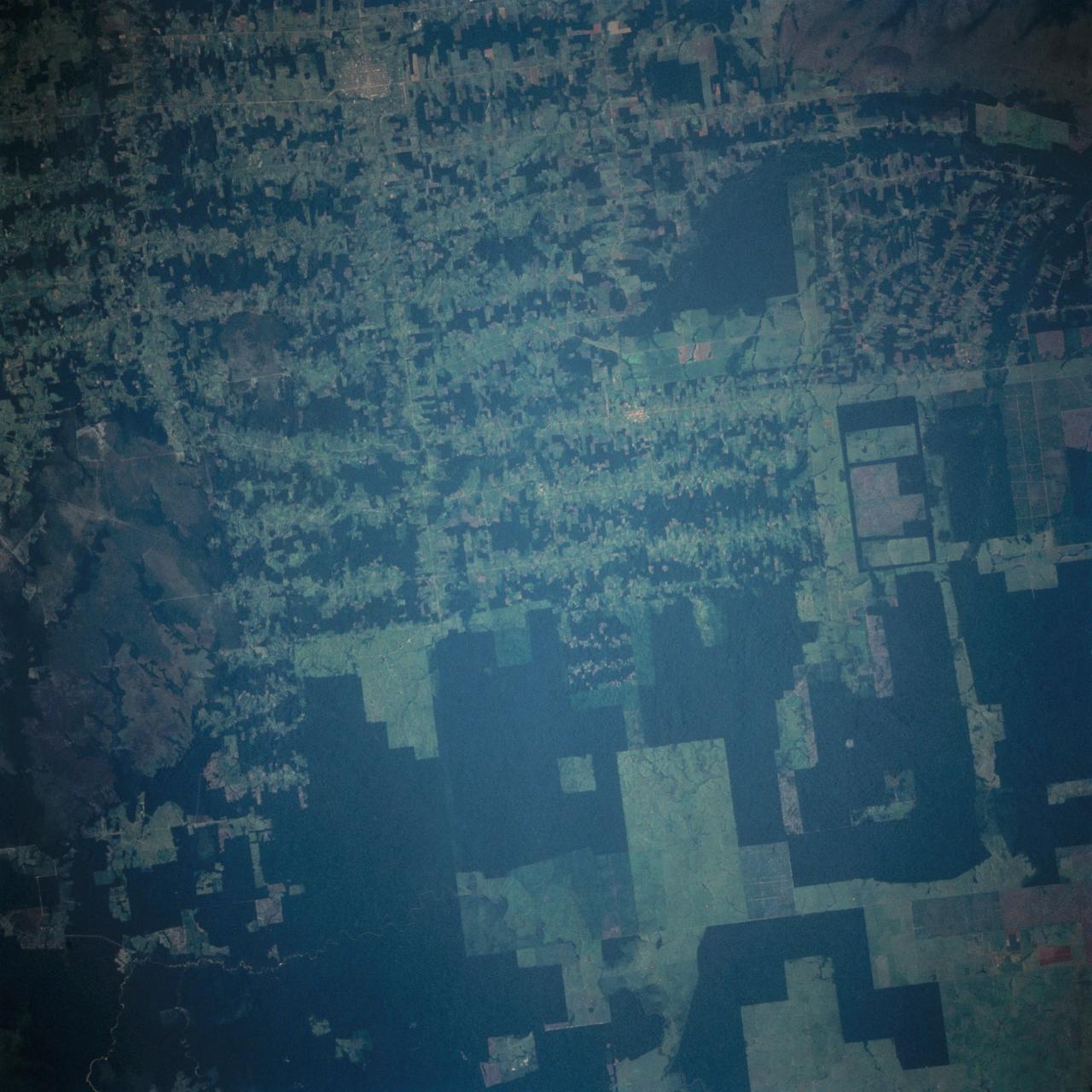
Deforestation in Brazil as seen from STS-66 Atlantis
1994-11-14 · NASA Image and Video Library
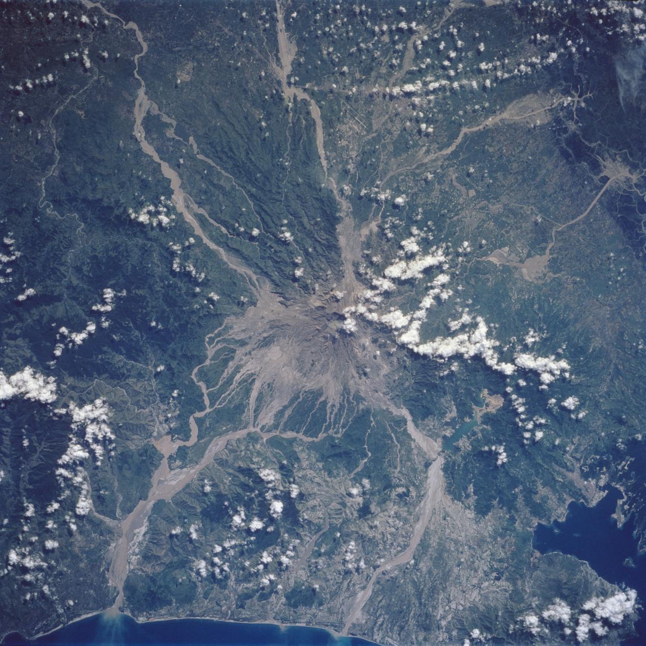
Mt. Pinatubo Volcano - Post Eruption, Luzon, Philippines
1992-08-08 · NASA Image and Video Library