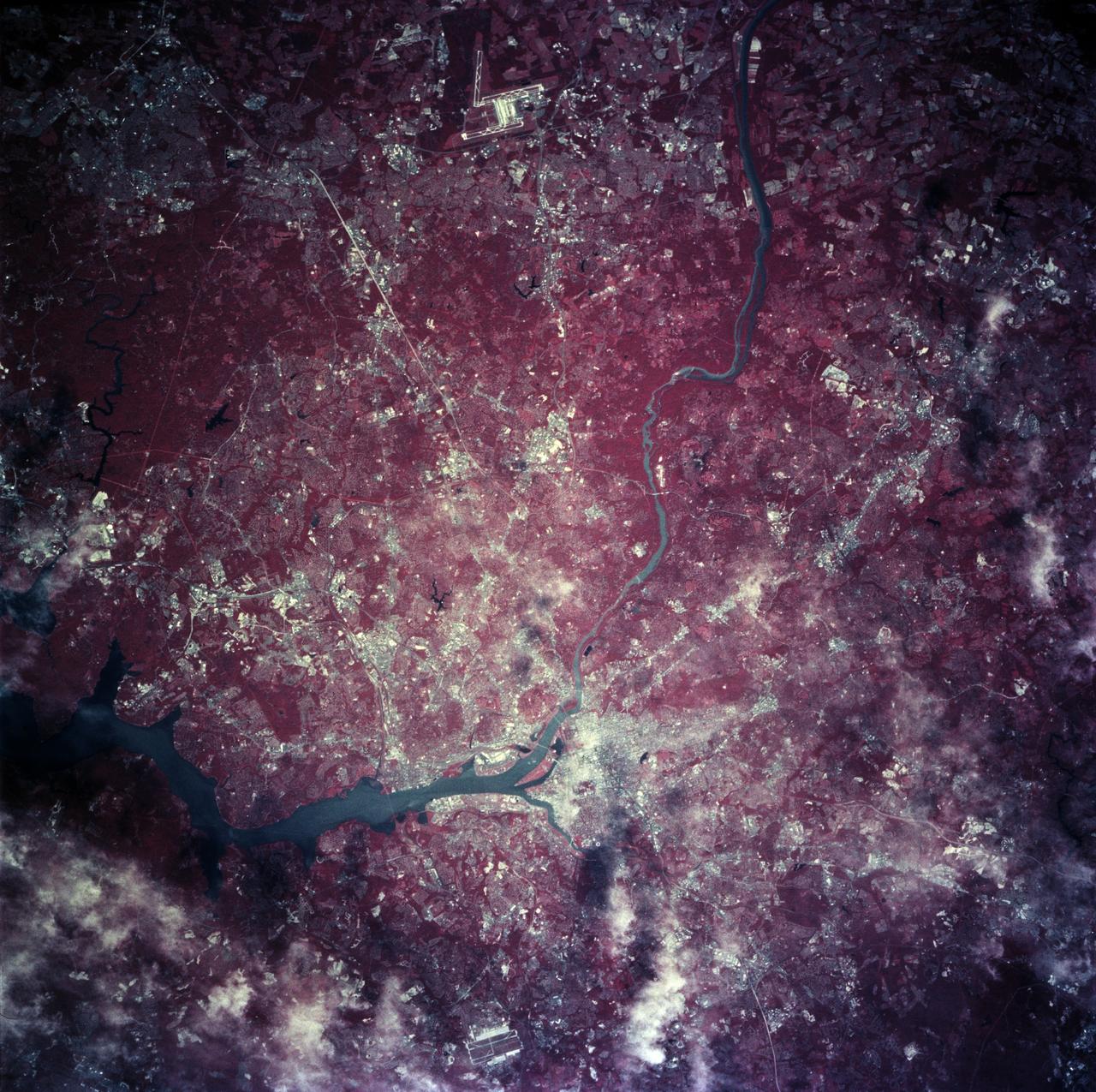
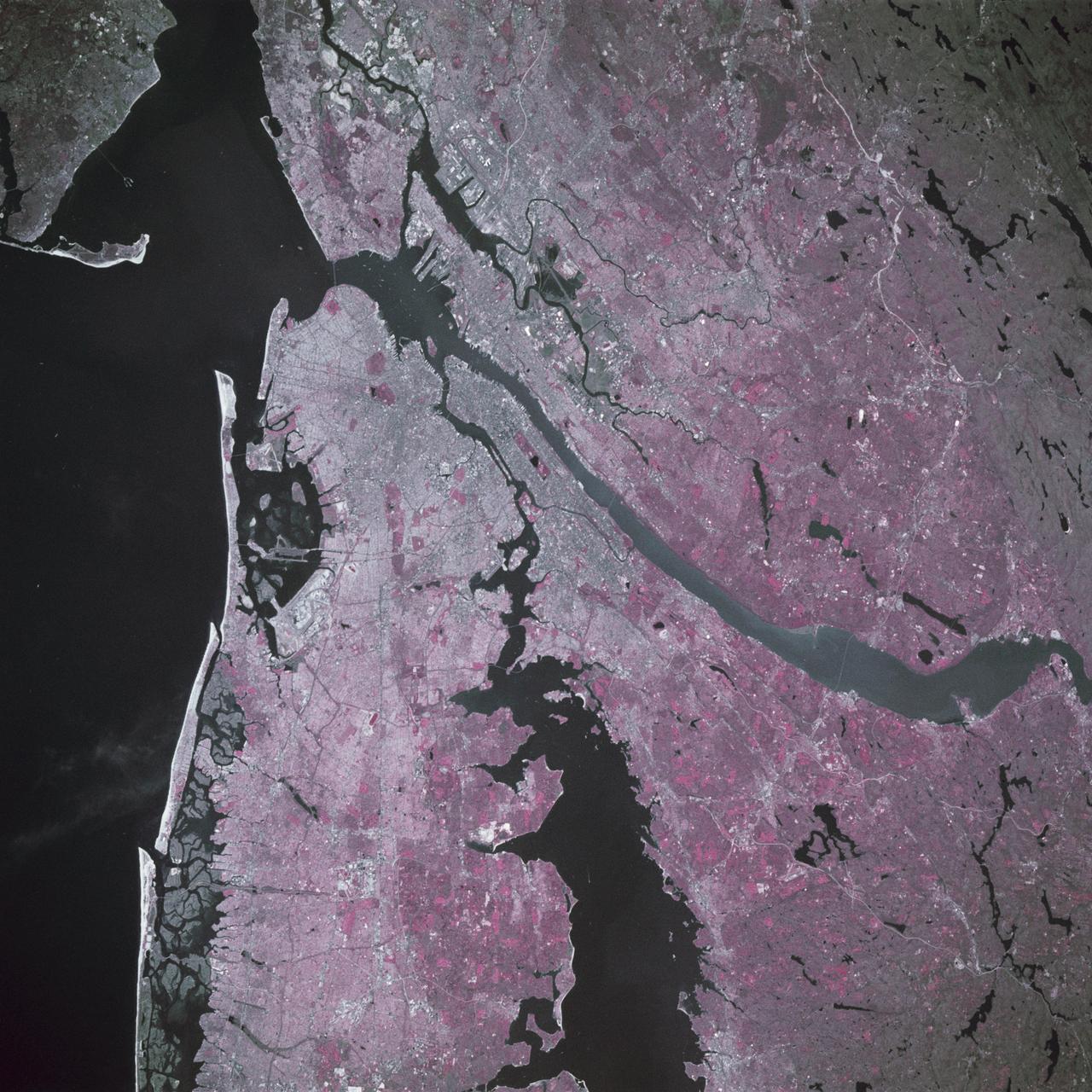
Earth observations taken from Space Shuttle Columbia during STS-78 mission
STS078-760-010 (20 June - 7 July 1996) --- As photographed with color infrared film by the crew of the Space Shuttle Columbia, the capital of the United States of America (the right of center) is located at the head of the navigable portion of the Potomac River. The Potomac separates the capital from Virginia to the southwest. It covers an area of 68-square-mile (177-square-kilometers). Andrews Air Force Base is seen east southwest of Washington D.C. at the right edge of the photo. Dulles International Airport is located west of the city on the left edge of the photo. Green vegetation shows up as red in the color infrared image.
- Date
- 1996-06-28
- Collection
- JSC
- Archive
- NASA Image and Video Library
- Type
- photograph
Public domainsafest
Reason: a NASA work: not copyrighted in the United States.
Read from: NASA media usage guidelines: NASA material is not copyrighted in the US unless noted; no third-party credit or mark found.
Credit line
"Earth observations taken from Space Shuttle Columbia during STS-78 mission" (1996-06-28). NASA/JSC. Public domain. https://images.nasa.gov/details/sts078-760-010Need photos for a whole script? Add Find Any Photo to Claude and ask for this one by its id: 15595.
More like this
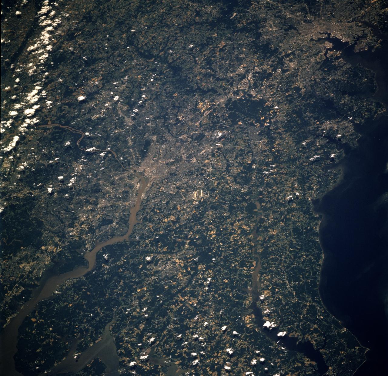
Earth observations taken from Space Shuttle Columbia during STS-78 mission
1996-06-26 · NASA Image and Video Library
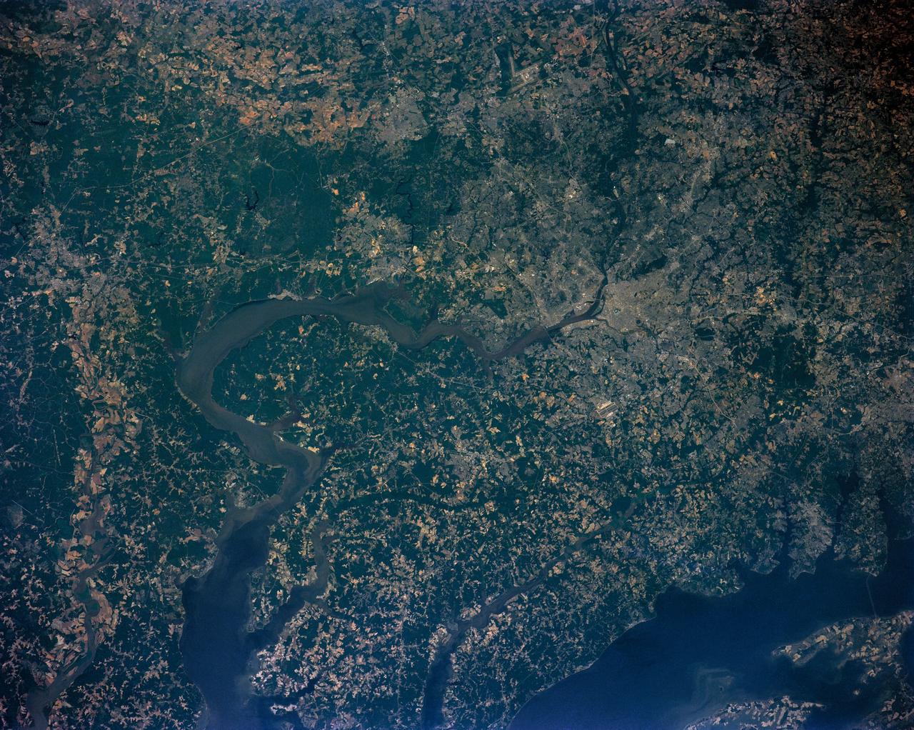
Washington D.C. region, USA
1991-06-14 · NASA Image and Video Library
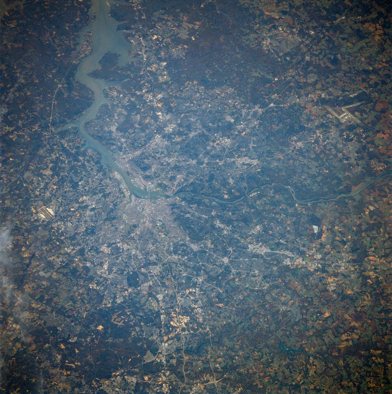
Washington, D.C. USA
1984-10-13 · NASA Image and Video Library
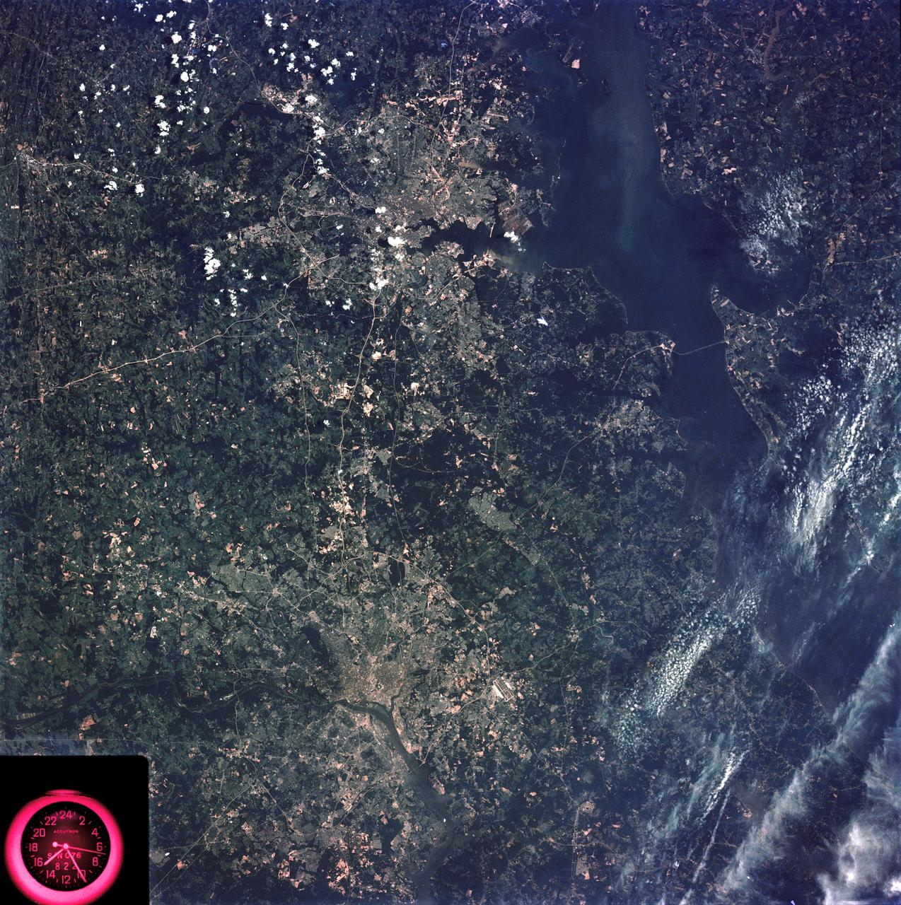
Washington, D.C. and the Baltimore, Maryland area
1973-08-15 · NASA Image and Video Library
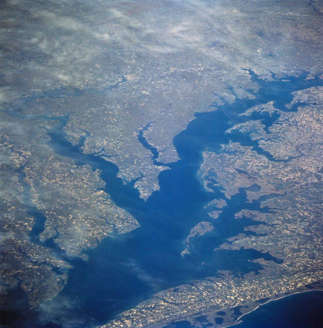
Chesapeake Bay as seen from STS-58
1993-10-30 · NASA Image and Video Library
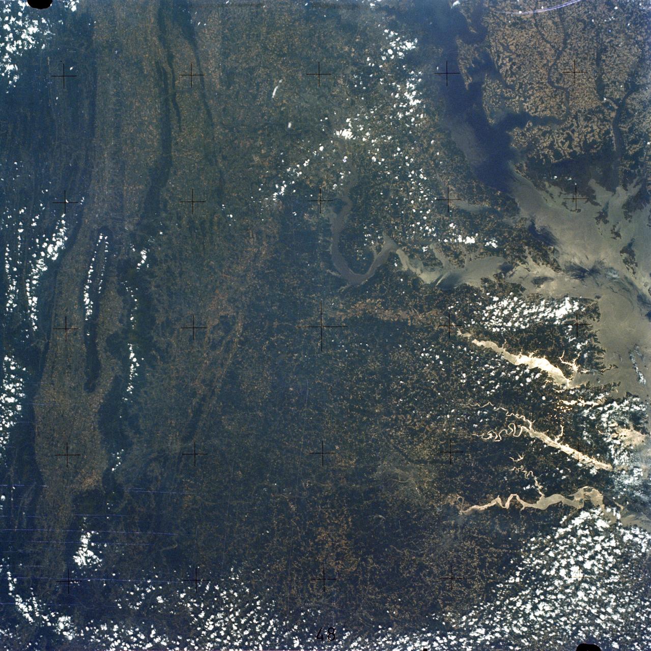
Chesapeake Bay, Potomac River
1973-06-22 · NASA Image and Video Library
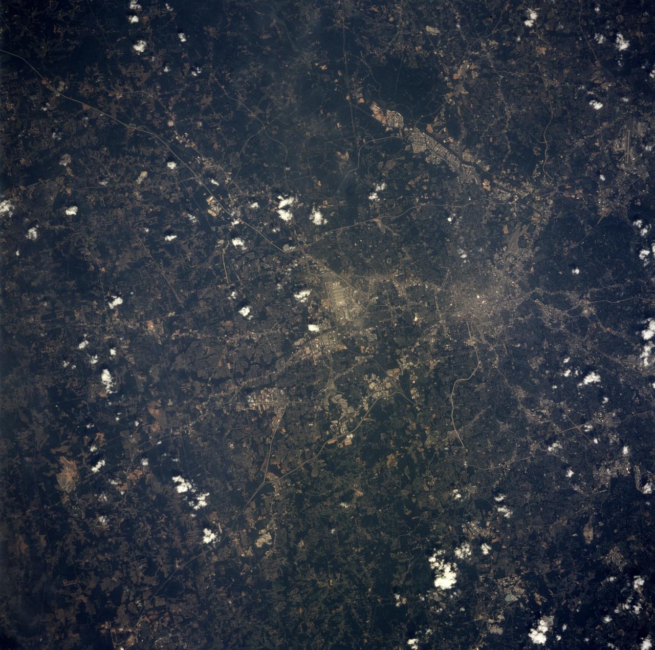
Earth observations taken from Space Shuttle Columbia during STS-78 mission
1996-06-28 · NASA Image and Video Library
New York City, Hudson River, NY, USA
1991-05-06 · NASA Image and Video Library