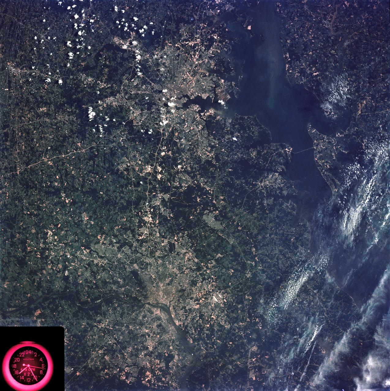
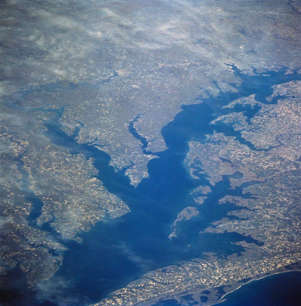
Washington, D.C. and the Baltimore, Maryland area
SL3-83-166 (July-September 1973) --- A vertical view of the Washington D.C. and the Baltimore, Maryland area is seen in the Skylab 3 Earth Resources Experiments Package S190-B (five-inch Earth terrain camera) photograph taken from the Skylab space station in Earth orbit. The Chesapeake Bay is on the right (east) side of the picture. The Potomac River flows through the Washington area in the lower left (southwest) corner of the photograph. Several transportation routes and major highways stand out very distinctly. Especially conspicuous are the beltways around the cities, Interstate 95 between Baltimore and the nation?s capitol and Interstate 70N leading west from Baltimore. The tunnel and harbor facilities in Baltimore show clearly, also. Identifiable features in the Washington area include the Capitol Building, the Mall area, Robert F. Kennedy Stadium (white circle), the five bridges across the Potomac, Andrews Air Force Base (on east loop), and the smaller Anacostia River. The extent of the urbanization in this area is dramatically illustrated in this picture. The photograph has sufficient resolution that the housing patterns for individual suburban areas are clearly defined with
- Date
- 1973-08-15
- Collection
- JSC
- Archive
- NASA Image and Video Library
- Type
- photograph
Public domainsafest
Reason: a NASA work: not copyrighted in the United States.
Read from: NASA media usage guidelines: NASA material is not copyrighted in the US unless noted; no third-party credit or mark found.
Credit line
"Washington, D.C. and the Baltimore, Maryland area" (1973-08-15). NASA/JSC. Public domain. https://images.nasa.gov/details/SL3-83-0166Need photos for a whole script? Add Find Any Photo to Claude and ask for this one by its id: 15019.
More like this
Chesapeake Bay, Potomac River
1973-06-22 · NASA Image and Video Library
Washington, D.C. USA
1984-10-13 · NASA Image and Video Library
Earth observations taken from Space Shuttle Columbia during STS-78 mission
1996-06-26 · NASA Image and Video Library
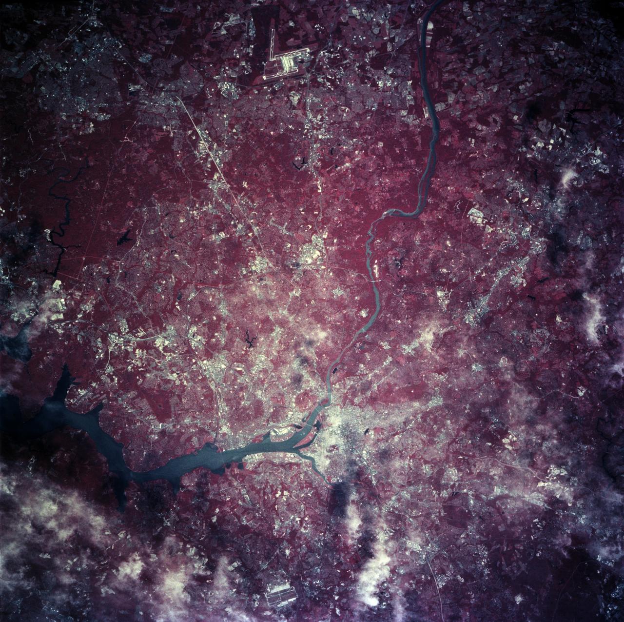
Earth observations taken from Space Shuttle Columbia during STS-78 mission
1996-06-28 · NASA Image and Video Library
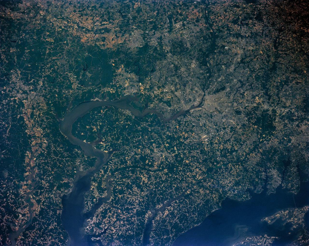
Washington D.C. region, USA
1991-06-14 · NASA Image and Video Library
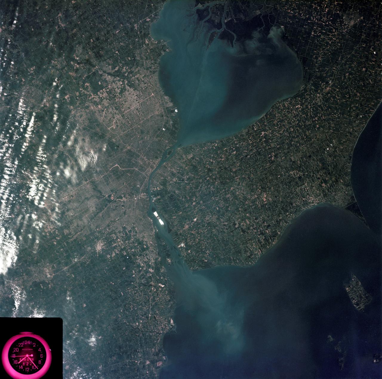
Detroit, Michigan metropolitan area photographed from Skylab
1973-08-05 · NASA Image and Video Library
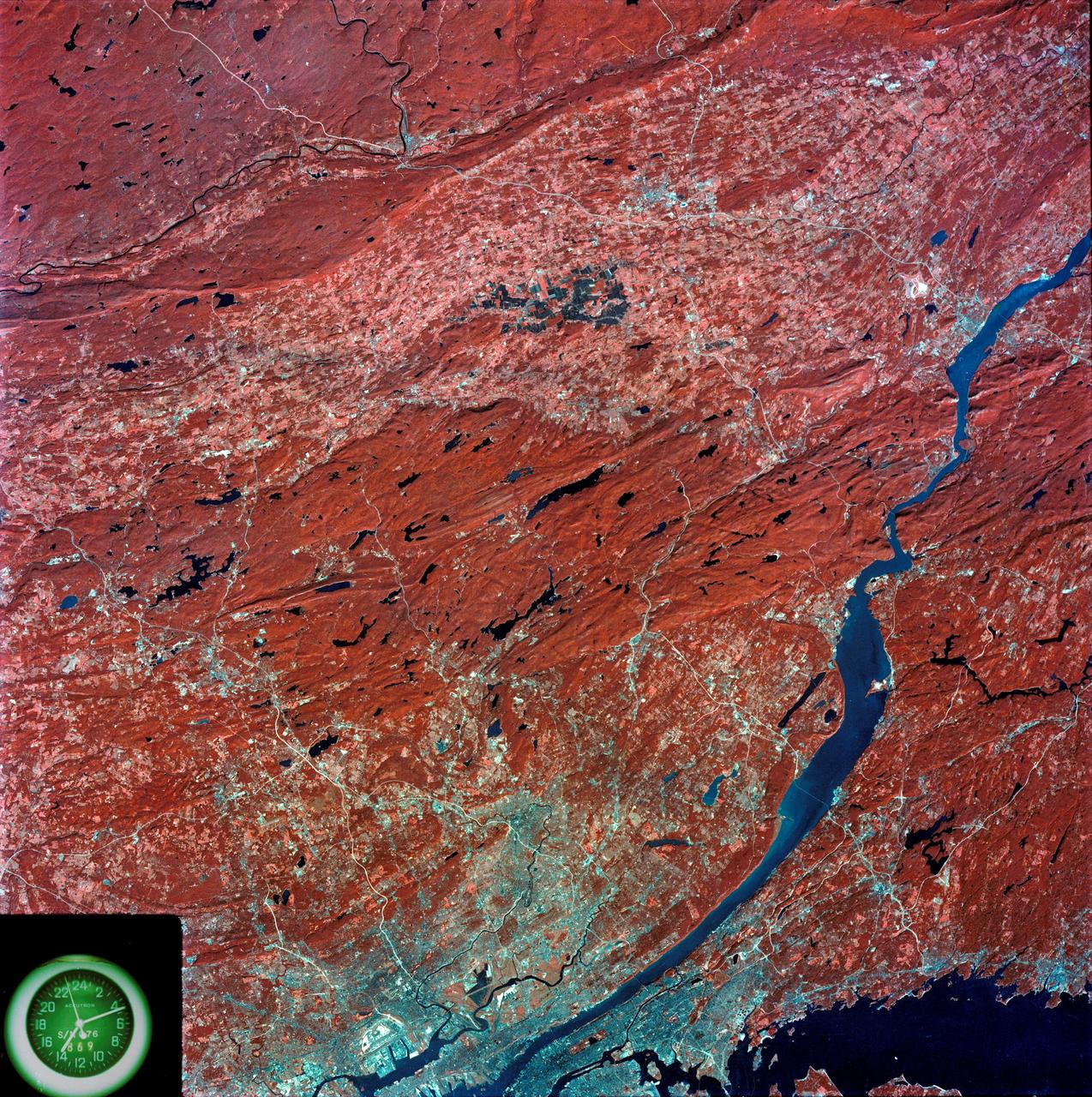
View of southeastern New York State
1973-08-15 · NASA Image and Video Library
Chesapeake Bay as seen from STS-58
1993-10-30 · NASA Image and Video Library