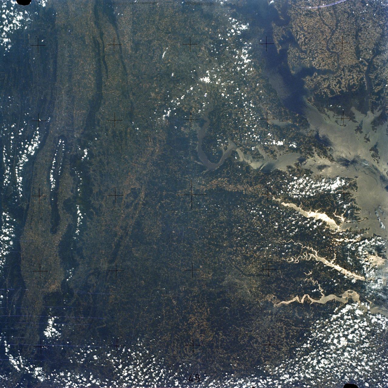
Chesapeake Bay, Potomac River
SL2-05-393 (22 June 1973) --- The nation's capital lies astride the Potomac River (38.5N, 77.5W) at the head of the Potomac Estuary. Baltimore, MD, also in the scene, is connected to Washington by the Baltimore-Washington Parkway. The suburbs of both cities tend to cluster around the Washington and Baltimore Beltways. Most of the countryside in the eastern two-thirds of this scene is either heavily forested or is in farming, dairy operations or poultry production. Photo credit: NASA
- Date
- 1973-06-22
- Collection
- JSC
- Archive
- NASA Image and Video Library
- Type
- photograph
Public domainsafest
Reason: a NASA work: not copyrighted in the United States.
Read from: NASA media usage guidelines: NASA material is not copyrighted in the US unless noted; no third-party credit or mark found.
Credit line
"Chesapeake Bay, Potomac River" (1973-06-22). NASA/JSC. Public domain. https://images.nasa.gov/details/sl2-05-393Need photos for a whole script? Add Find Any Photo to Claude and ask for this one by its id: 15340.
More like this
Washington, D.C. and the Baltimore, Maryland area
1973-08-15 · NASA Image and Video Library
Chesapeake Bay as seen from STS-58
1993-10-30 · NASA Image and Video Library
Washington, D.C. USA
1984-10-13 · NASA Image and Video Library
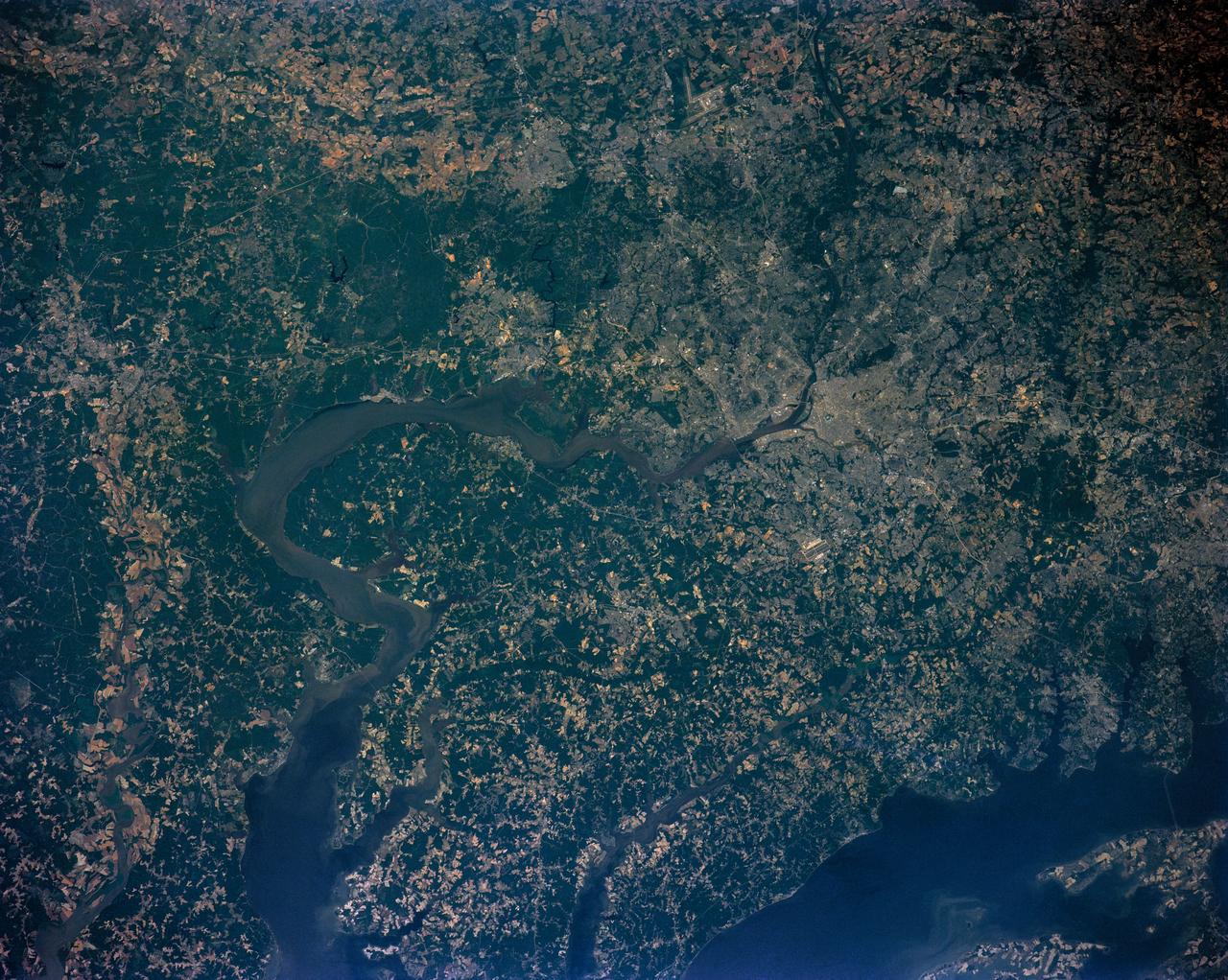
Washington D.C. region, USA
1991-06-14 · NASA Image and Video Library
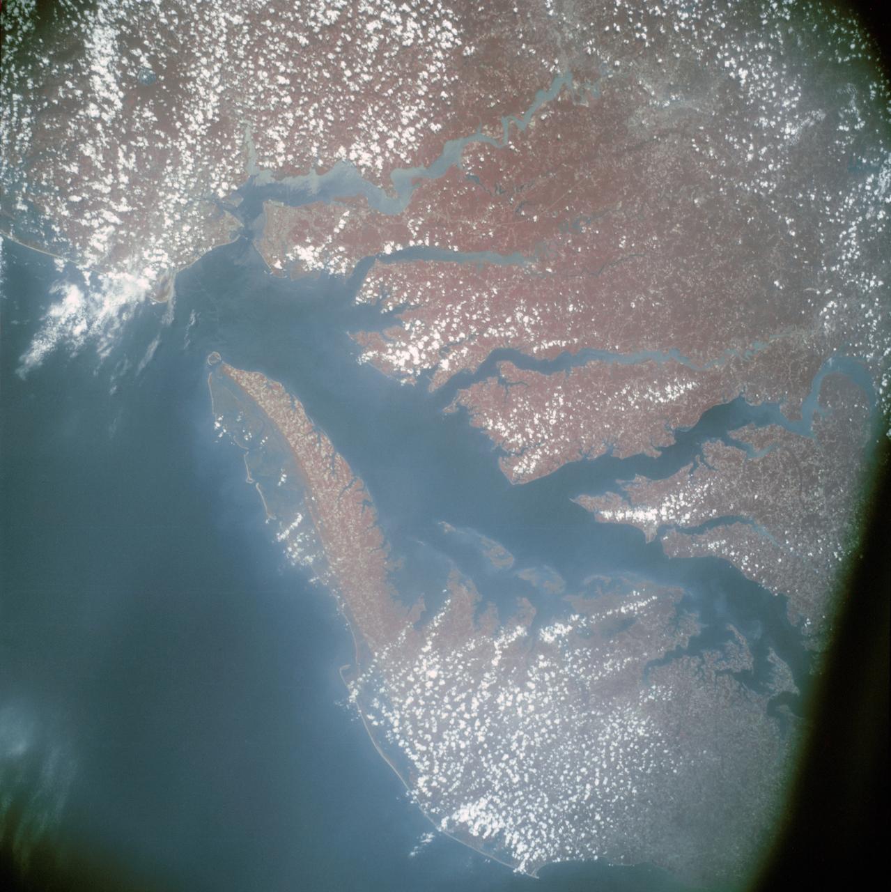
Infrared view of Chesapeake Bay showing Virginia, Maryland and Delaware
1975-07-24 · NASA Image and Video Library
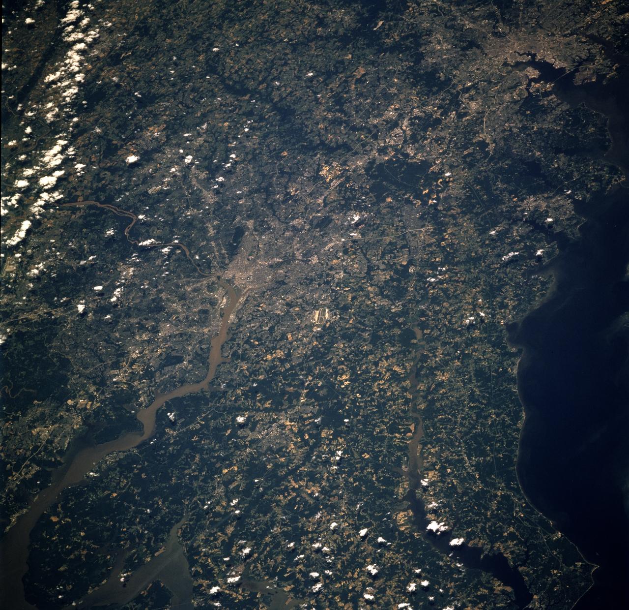
Earth observations taken from Space Shuttle Columbia during STS-78 mission
1996-06-26 · NASA Image and Video Library
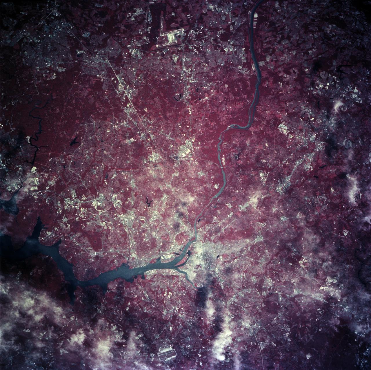
Earth observations taken from Space Shuttle Columbia during STS-78 mission
1996-06-28 · NASA Image and Video Library
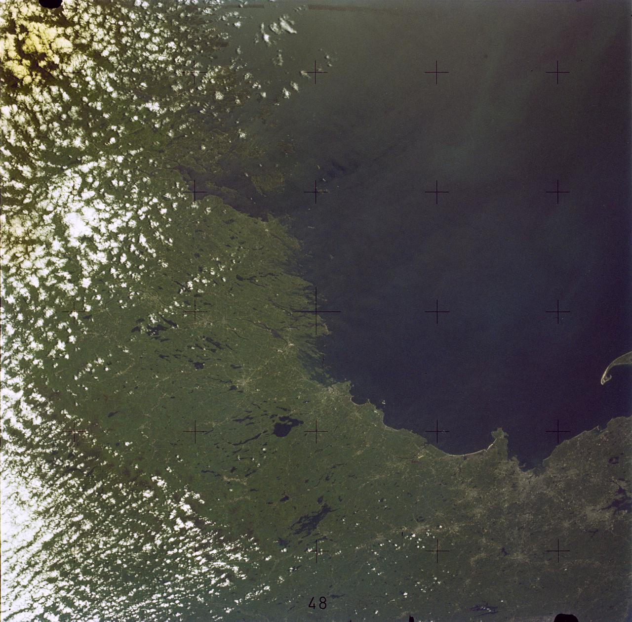
Boston, MA and New England Coastline
1973-06-22 · NASA Image and Video Library