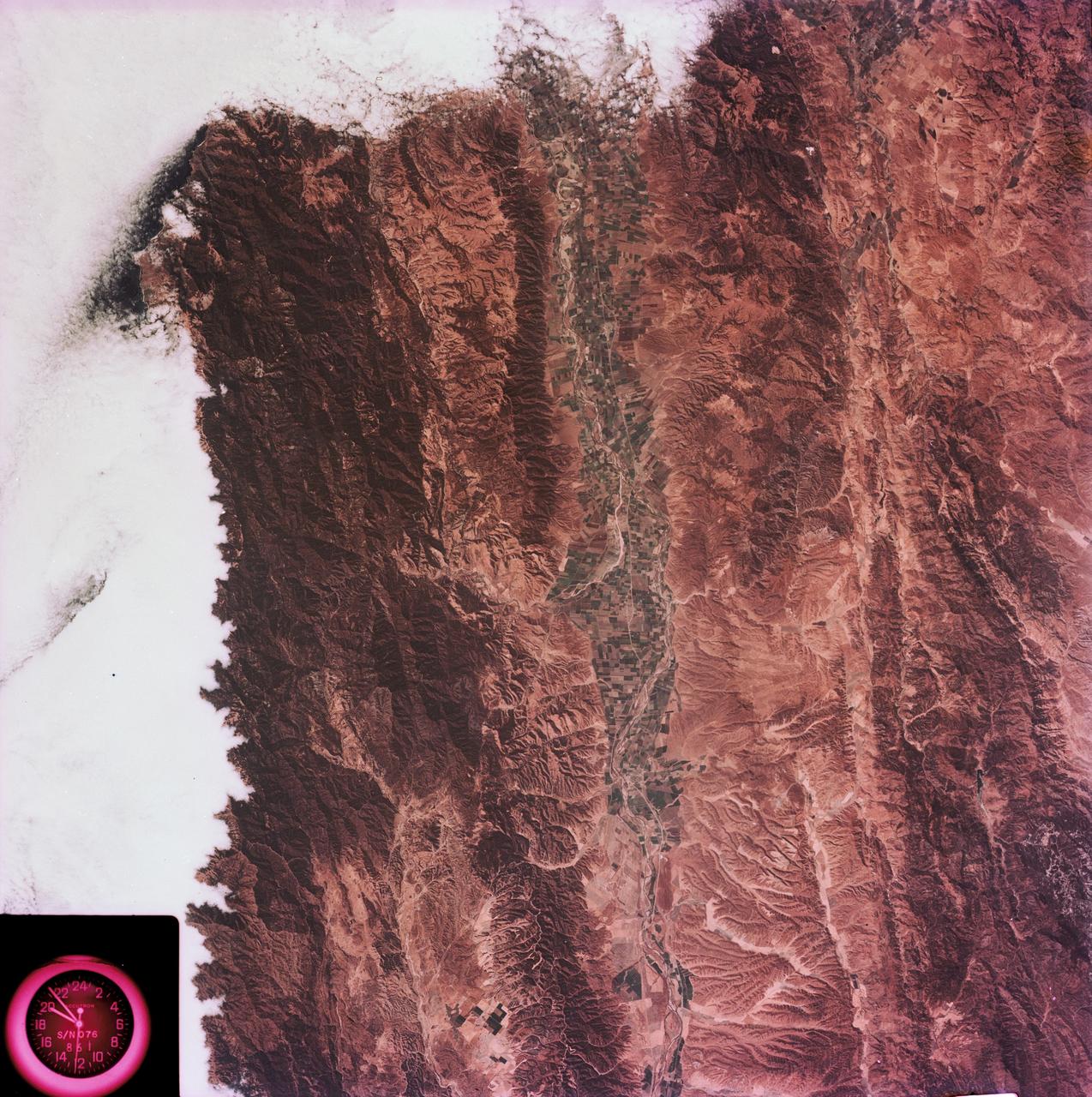
View of the Salinas River Valley area south of Monterey Bay, California
SL3-88-004 (July-September 1973) --- A vertical view of the Salinas River Valley area south of Monterey Bay, California area is seen in this Skylab 3 Earth Resources Experiments Package S190-B (five-inch Earth terrain camera) photograph taken from the Skylab space station in Earth orbit. The valley is an irrigated agricultural area, and is indicated by the dark-green and light-gray rectangular patterns in the centre of the picture. The city of Salinas is barely visible under the cloud cover at the top (north) end of the valley. The dark mass on the left (west) side of the valley is the Santa Lucia mountain range. The Big Sur area is on the left and partly covered by clouds. The Diablo Range forms the dark mass in the lower right (southeast) corner of the photograph. The town of Hollister is the gray area in the dark-green rectangular farm tracts which occupy the floor of the San Benito Valley in the upper right (northeast) corner of the photograph. The Salinas River flows northwestward toward Monterey Bay. The towns of Soledad, Greenfield and King City appear as gray areas along U.S. 101 in the Salinas Valley. The geology of the area is complex, and has been racked by several earth
- Date
- 1973-08-15
- Collection
- JSC
- Archive
- NASA Image and Video Library
- Type
- photograph
Public domainsafest
Reason: a NASA work: not copyrighted in the United States.
Read from: NASA media usage guidelines: NASA material is not copyrighted in the US unless noted; no third-party credit or mark found.
Credit line
"View of the Salinas River Valley area south of Monterey Bay, California" (1973-08-15). NASA/JSC. Public domain. https://images.nasa.gov/details/SL3-88-0004Need photos for a whole script? Add Find Any Photo to Claude and ask for this one by its id: 13845.
More like this
Northern California near San Francisco
1974-01-01 · NASA Image and Video Library
Mojave Desert, California
1973-06-22 · NASA Image and Video Library
San Francisco and Bay Area, CA, USA
1973-06-22 · NASA Image and Video Library
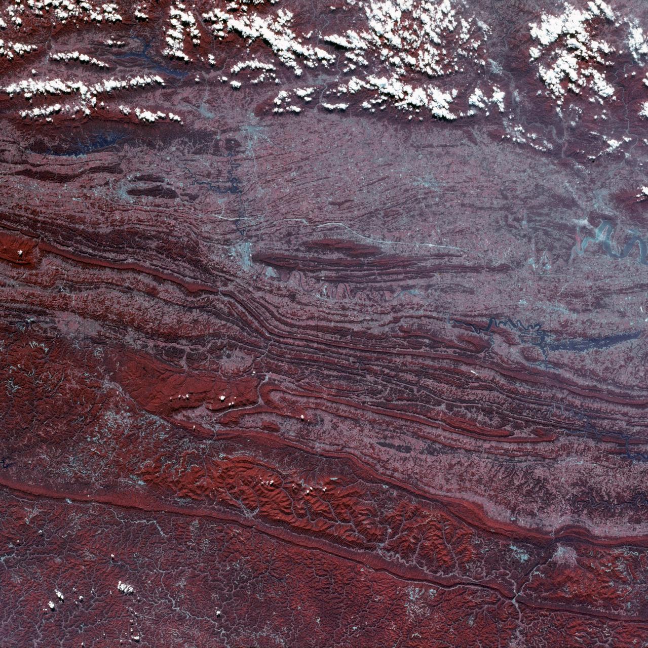
View of Virginia, Tennessee, Kentucky border area
1973-08-30 · NASA Image and Video Library
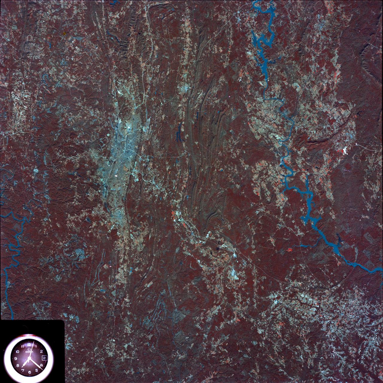
Birmingham and central Alabama area seen in Earth Resources Exp. Package
1974-02-01 · NASA Image and Video Library

View of southeastern Washington State
1973-08-30 · NASA Image and Video Library
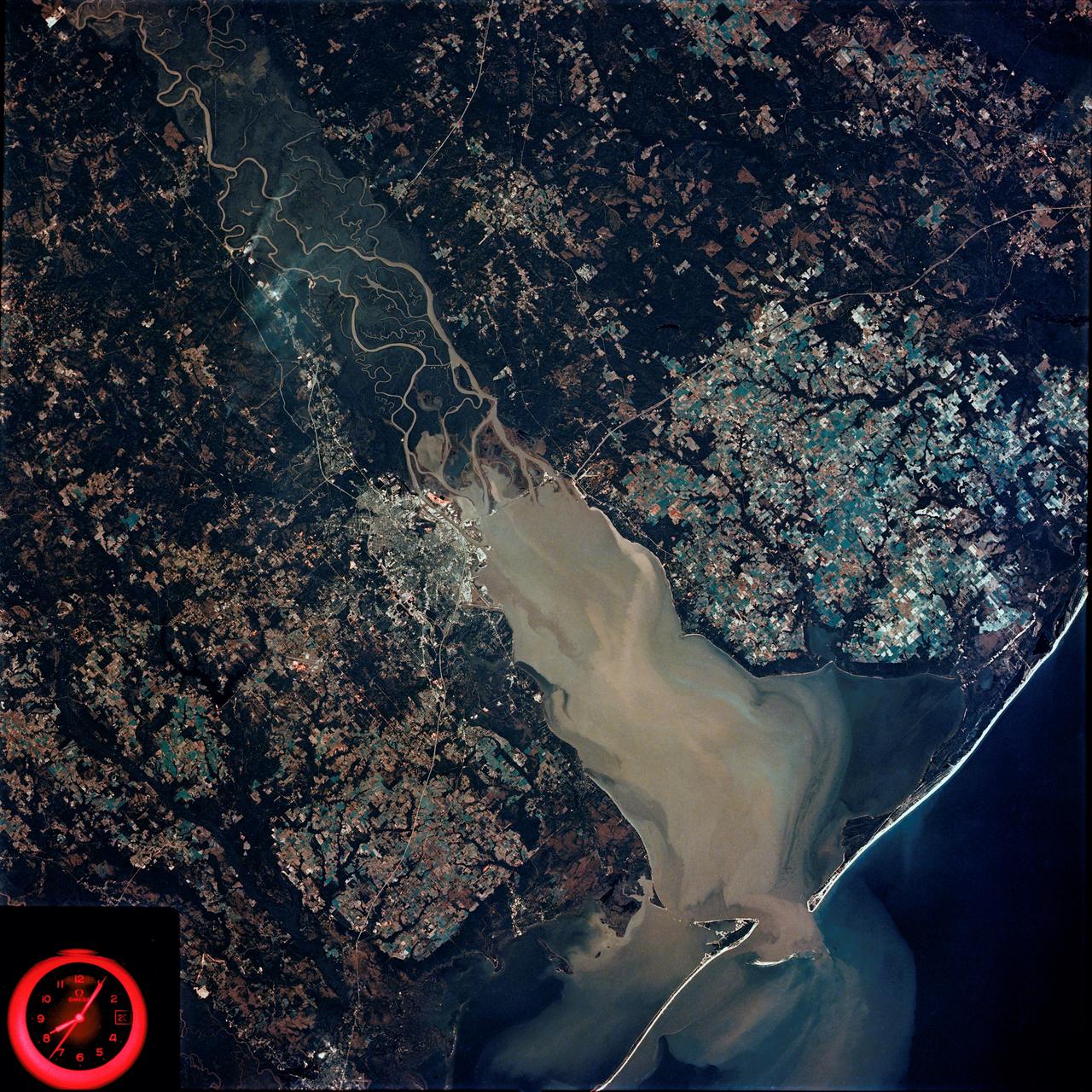
Mobile Bay, Alabama area seen in Skylab 4 Earth Resources Experiment Package
1974-02-01 · NASA Image and Video Library
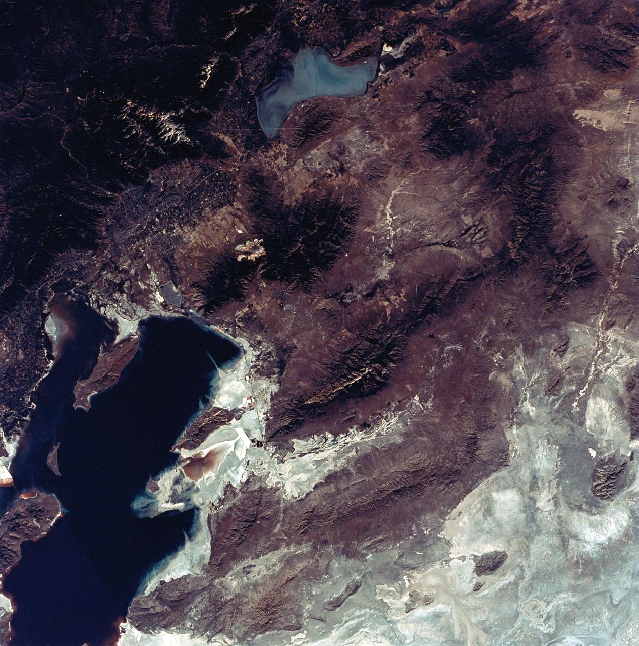
View of the Salt Lake City, Utah area
1973-08-30 · NASA Image and Video Library