
Space Radar Image of Taal Volcano, Philippines
This is an image of Taal volcano, near Manila on the island of Luzon in the Philippines. The black area in the center is Taal Lake, which nearly fills the 30-kilometer-diameter (18-mile) caldera. The caldera rim consists of deeply eroded hills and cliffs. The large island in Taal Lake, which itself contains a crater lake, is known as Volcano Island. The bright yellow patch on the southwest side of the island marks the site of an explosion crater that formed during a deadly eruption of Taal in 1965. The image was acquired by the Spaceborne Imaging Radar-C/X-band Synthetic Aperture Radar (SIR-C/X-SAR) aboard the space shuttle Endeavour on its 78th orbit on October 5, 1994. The image shows an area approximately 56 kilometers by 112 kilometers (34 miles by 68 miles) that is centered at 14.0 degrees north latitude and 121.0 degrees east longitude. North is toward the upper right of the image. The colors in this image were obtained using the following radar channels: red represents the L-band (horizontally transmitted and received); green represents the L-band (horizontally transmitted and vertically received); blue represents the C-band (horizontally transmitted and vertically received)
- Date
- 1999-05-01
- Photographer / author
- NASA/JPL
- Collection
- JPL
- Archive
- NASA Image and Video Library
- Type
- photograph
Public domainsafest
Reason: a NASA work: not copyrighted in the United States.
Read from: NASA media usage guidelines: NASA material is not copyrighted in the US unless noted; no third-party credit or mark found.
Credit line
"Space Radar Image of Taal Volcano, Philippines" (1999-05-01). NASA/JPL/NASA/JPL. Public domain. https://images.nasa.gov/details/PIA01768Need photos for a whole script? Add Find Any Photo to Claude and ask for this one by its id: 90985.
More like this
Space Radar Image of Sakura-Jima Volcano, Japan
1999-04-15 · NASA Image and Video Library
Space Radar Image of Mount Pinatubo Volcano, Philippines
1999-05-01 · NASA Image and Video Library
Space Radar Image of Vesuvius, Italy
1999-04-15 · NASA Image and Video Library
Space Radar Image of Colima Volcano, Jalisco, Mexico
1999-05-01 · NASA Image and Video Library
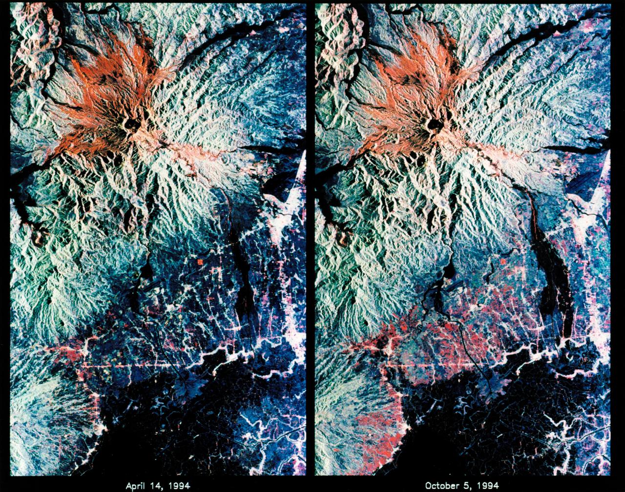
STS-68 radar image: Mt. Pinatubo, Philippines
1994-10-07 · NASA Image and Video Library
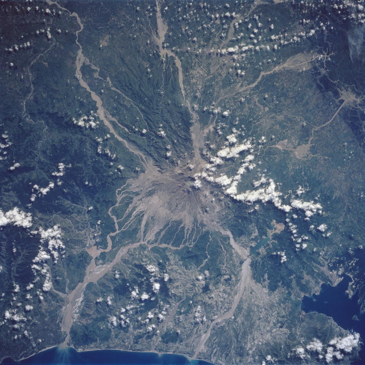
Mt. Pinatubo Volcano - Post Eruption, Luzon, Philippines
1992-08-08 · NASA Image and Video Library
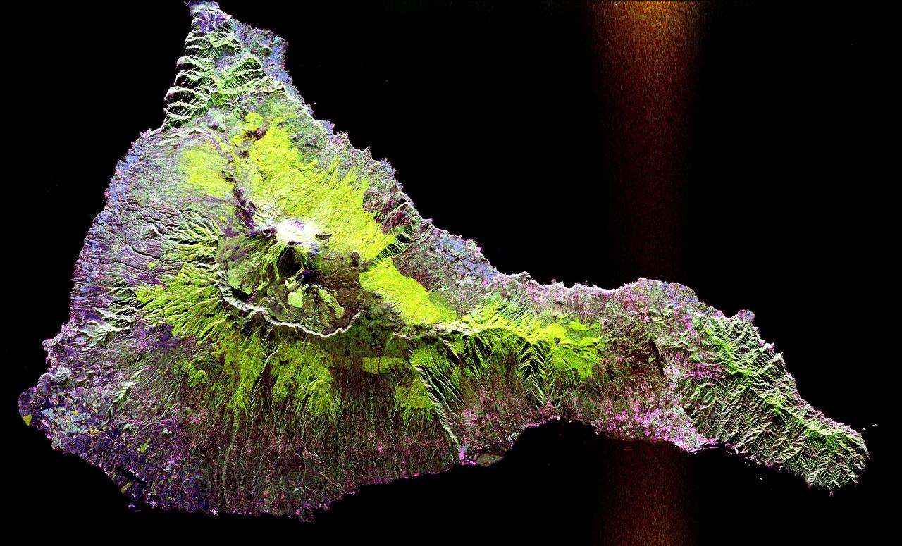
Space Radar Image of Teide Volcano
1999-04-15 · NASA Image and Video Library
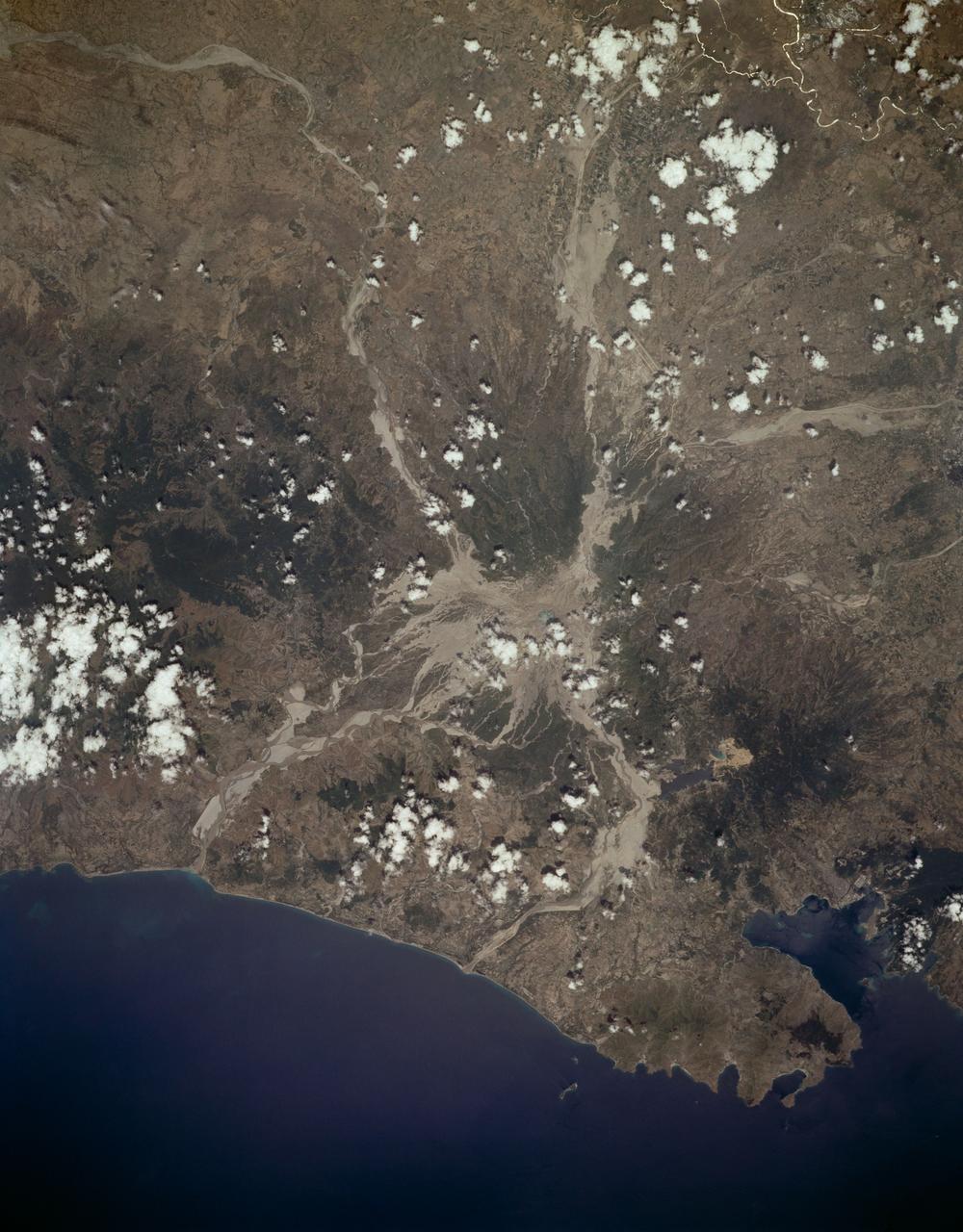
Mount Pinatubo, Philippine Islands as seen from STS-59
1994-04-10 · NASA Image and Video Library