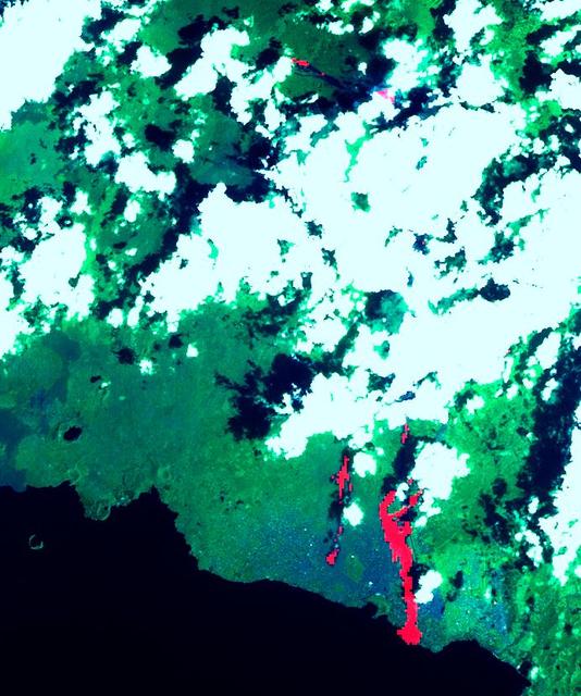
Nyiragonga Volcano
This image of the Nyiragonga volcano eruption in the Congo was acquired on January 28, 2002 by the Advanced Spaceborne Thermal Emission and Reflection Radiometer (ASTER) on NASA's Terra satellite. With its 14spectral bands from the visible to the thermal infrared wavelength region, and its high spatial resolution of 15 to 90 meters about 50 to 300 feet ), ASTER will image Earth for the next 6 years to map and monitor the changing surface of our planet. Image: A river of molten rock poured from the Nyiragongo volcano in the Congo on January 18, 2002, a day after it erupted, killing dozens, swallowing buildings and forcing hundreds of thousands to flee the town of Goma. The flow continued into Lake Kivu. The lave flows are depicted in red on the image indicating they are still hot. Two of them flowed south form the volcano's summit and went through the town of Goma. Another flow can be seen at the top of the image, flowing towards the northwest. One of Africa's most notable volcanoes, Nyiragongo contained an active lava lake in its deep summit crater that drained catastrophically through its outer flanks in 1977. Extremely fluid, fast-moving lava flows draining from the summit lava l
- Date
- 2002-02-01
- Photographer / author
- NASA/GSFC/METI/ERSDAC/JAROS, and U.S./Japan ASTER Science Team
- Collection
- JPL
- Archive
- NASA Image and Video Library
- Type
- photograph
Public domainsafest
Reason: a NASA work: not copyrighted in the United States.
Read from: NASA media usage guidelines: NASA material is not copyrighted in the US unless noted; no third-party credit or mark found.
Credit line
"Nyiragonga Volcano" (2002-02-01). NASA/JPL/NASA/GSFC/METI/ERSDAC/JAROS, and U.S./Japan ASTER Science Team. Public domain. https://images.nasa.gov/details/PIA03462Need photos for a whole script? Add Find Any Photo to Claude and ask for this one by its id: 91006.
More like this
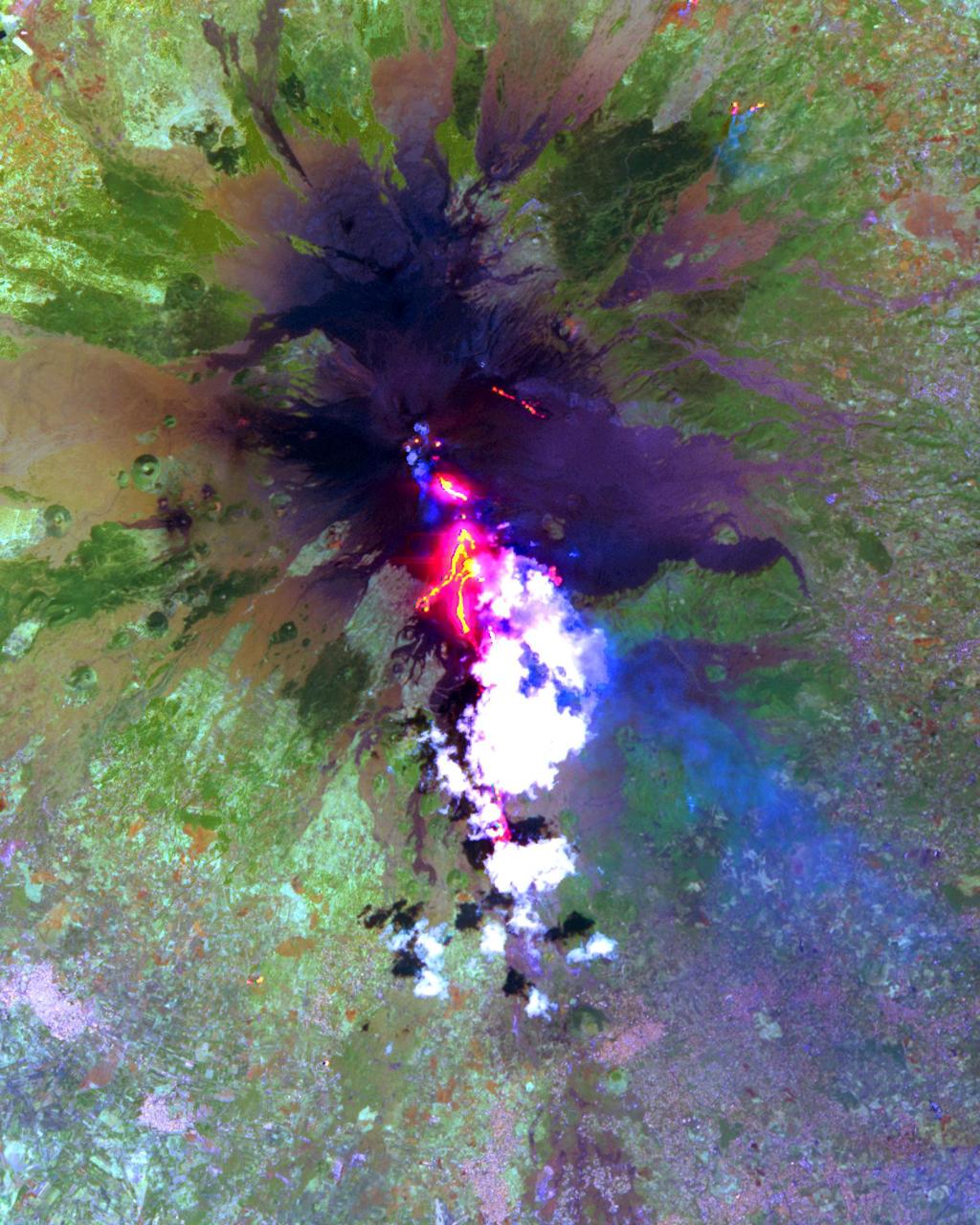
Lava Flows During the Continuing Eruption of Mt. Etna, Italy
2001-08-03 · NASA Image and Video Library
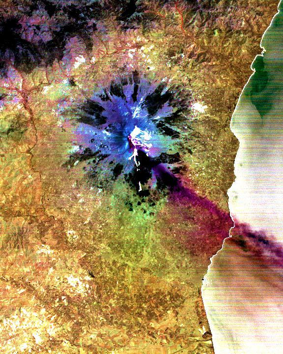
Sulfur Dioxide Plume During the Continuing Eruption of Mt. Etna, Italy
2001-08-03 · NASA Image and Video Library
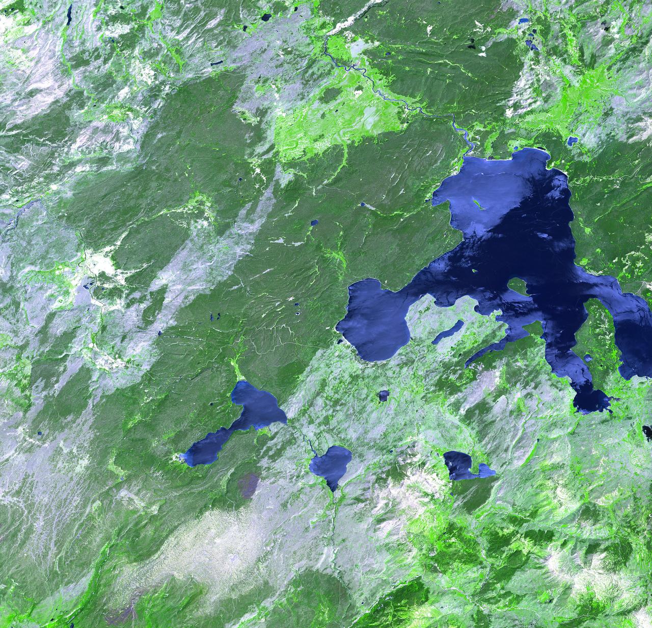
Yellowstone Park
2002-10-15 · NASA Image and Video Library
Idaho Fires
2001-10-22 · NASA Image and Video Library
Color composite C-band and L-band image of Kilauea volcanoe on Hawaii
1994-04-15 · NASA Image and Video Library

Space Radar Image of Taal Volcano, Philippines
1999-05-01 · NASA Image and Video Library
Space Radar Image of Sakura-Jima Volcano, Japan
1999-04-15 · NASA Image and Video Library
Space Radar Image of Colima Volcano, Jalisco, Mexico
1999-05-01 · NASA Image and Video Library