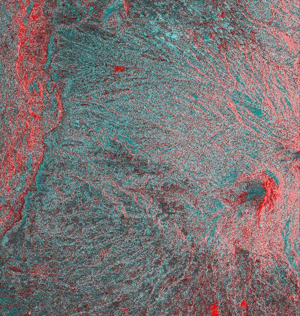
Space Radar Image of Colima Volcano, Jalisco, Mexico
This is an image of the Colima volcano in Jalisco, Mexico, a vigorously active volcano that erupted as recently as July 1994. The eruption partially destroyed a lava dome at the summit and deposited a new layer of ash on the volcano's southern slopes. Surrounding communities face a continuing threat of ash falls and volcanic mudflows from the volcano, which has been designated one of 15 high-risk volcanoes for scientific study during the next decade. This image was acquired by the Spaceborne Imaging Radar-C and X-band Synthetic Aperture Radar (SIR-C/X-SAR) aboard the space shuttle Endeavour on its 24th orbit on October 1, 1994. The image is centered at 19.4 degrees north latitude, 103.7 degrees west longitude. The area shown is approximately 35.7 kilometers by 37.5 kilometers (22 miles by 23 miles). This single-frequency, multi-polarized SIR-C image shows: red as L-band horizontally transmitted and received; green as L-band horizontally transmitted and vertically received; and blue as the ratio of the two channels. The summit area appears orange and the recent deposits fill the valleys along the south and southwest slopes. Observations from space are helping scientists understand t
- Date
- 1999-05-01
- Photographer / author
- NASA/JPL
- Collection
- JPL
- Archive
- NASA Image and Video Library
- Type
- photograph
Public domainsafest
Reason: a NASA work: not copyrighted in the United States.
Read from: NASA media usage guidelines: NASA material is not copyrighted in the US unless noted; no third-party credit or mark found.
Credit line
"Space Radar Image of Colima Volcano, Jalisco, Mexico" (1999-05-01). NASA/JPL/NASA/JPL. Public domain. https://images.nasa.gov/details/PIA01739Need photos for a whole script? Add Find Any Photo to Claude and ask for this one by its id: 90947.
More like this
Space Radar Image of Vesuvius, Italy
1999-04-15 · NASA Image and Video Library
Space Radar Image of Sakura-Jima Volcano, Japan
1999-04-15 · NASA Image and Video Library
Unzen Volcano, Japan
1996-11-13 · NASA Image and Video Library

Space Radar Image of Taal Volcano, Philippines
1999-05-01 · NASA Image and Video Library
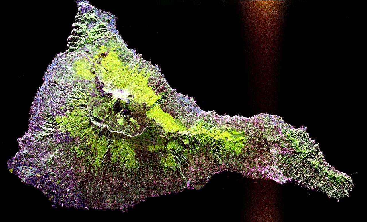
Space Radar Image of Teide Volcano
1999-04-15 · NASA Image and Video Library
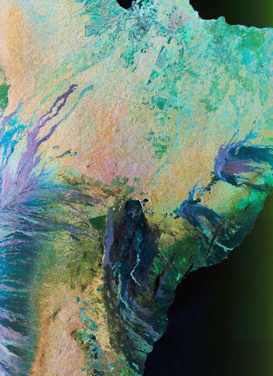
Color composite C-band and L-band image of Kilauea volcanoe on Hawaii
1994-04-15 · NASA Image and Video Library
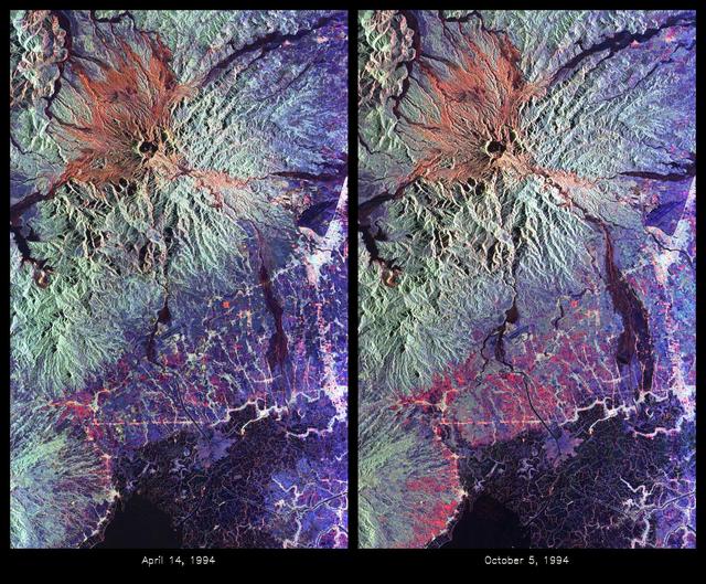
Space Radar Image of Mount Pinatubo Volcano, Philippines
1999-05-01 · NASA Image and Video Library
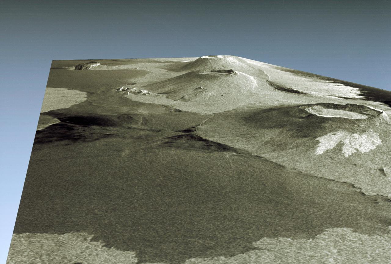
Three dimensional perspective view of portion of western Galapagos Islands
1994-04-18 · NASA Image and Video Library