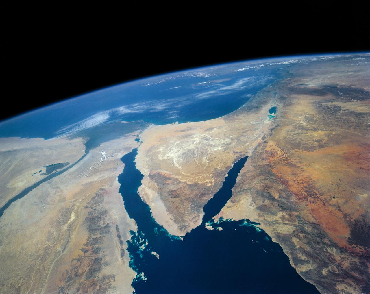
Southeastern Mediterranean Panorama
STS040-152-180 (5-24 June 1991) --- The Sinai Peninsula dominates this north-looking, oblique view. According to NASA photo experts studying the STS 40 imagery, the Red Sea in the foreground is clear of river sediment because of the prevailing dry climate of the Middle East. The great rift of the Gulf of Aqaba extends northward to Turkey (top right) through the Dead Sea. The international boundary between Israel and Egypt, reflecting different rural landscapes, stands out clearly. The Nile River runs through the frame. NASA photo experts believe the haze over the Mediterranean to be wind-borne dust. The photo was taken with an Aero-Linhof large format camera.
- Date
- 1991-06-14
- Collection
- JSC
- Archive
- NASA Image and Video Library
- Type
- photograph
Public domainsafest
Reason: a NASA work: not copyrighted in the United States.
Read from: NASA media usage guidelines: NASA material is not copyrighted in the US unless noted; no third-party credit or mark found.
Credit line
"Southeastern Mediterranean Panorama" (1991-06-14). NASA/JSC. Public domain. https://images.nasa.gov/details/s40-152-180Need photos for a whole script? Add Find Any Photo to Claude and ask for this one by its id: 15502.
More like this
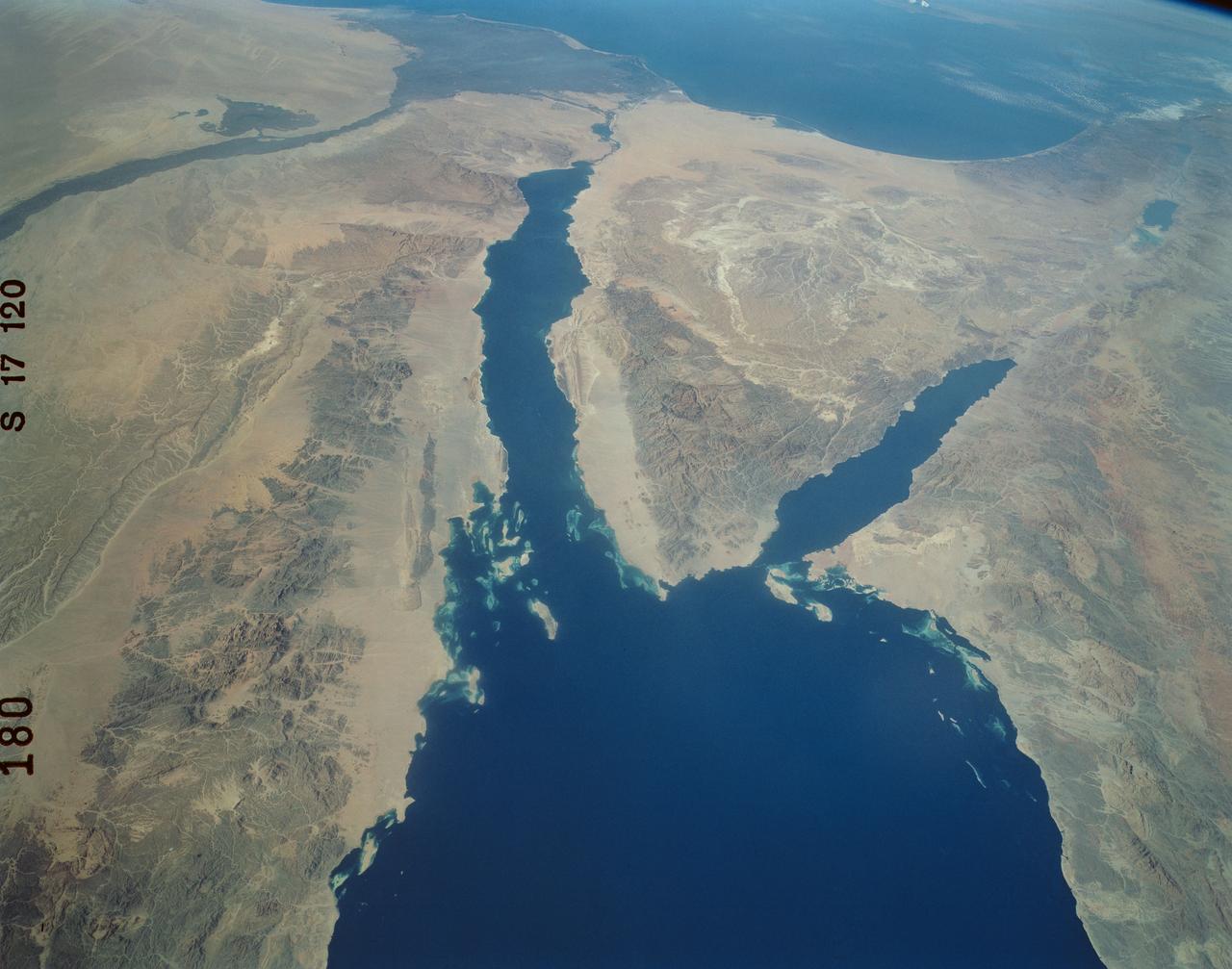
Panoramic Sinai Peninsula, Red Sea
1984-10-13 · NASA Image and Video Library
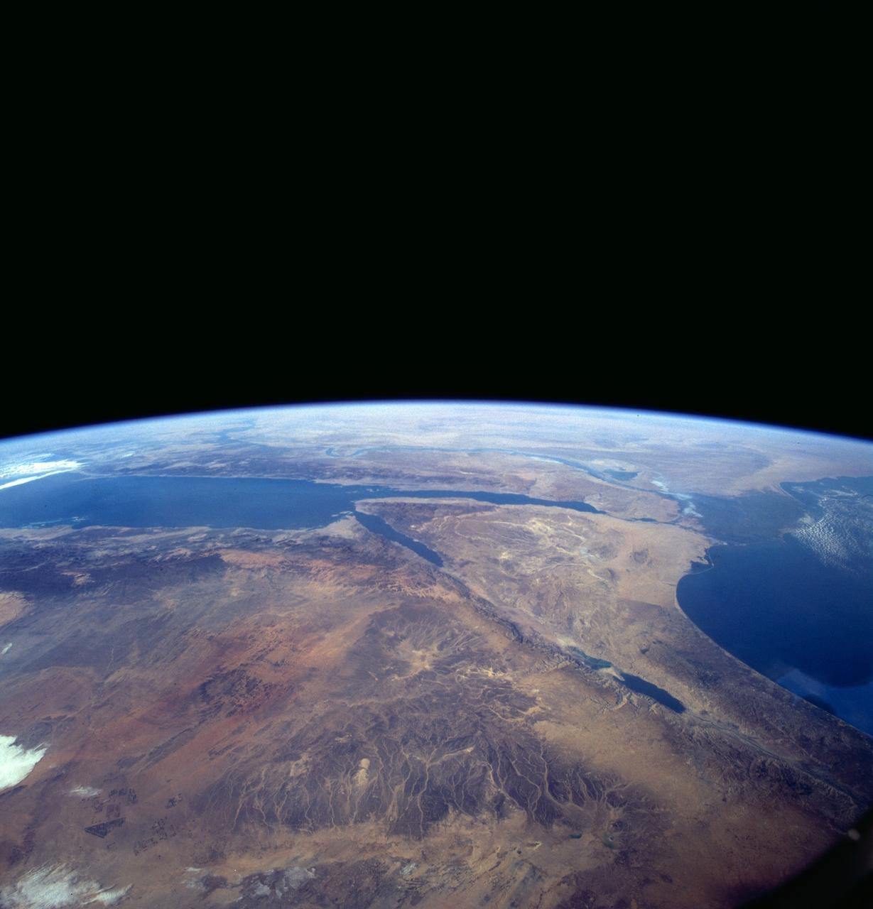
Sinai Peninsula, Middle East as seen from STS-66 orbiter Atlantis
1994-11-14 · NASA Image and Video Library
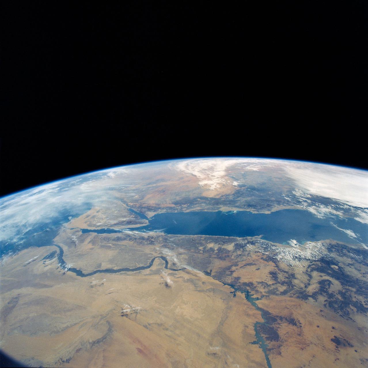
Eastern Egypt, Red Sea and Saudi Arabia
1990-04-29 · NASA Image and Video Library
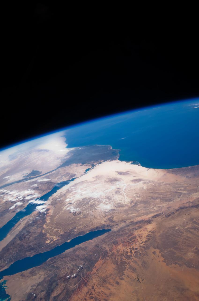
Earth Observation taken by the STS-125 Crew
2009-05-12 · NASA Image and Video Library
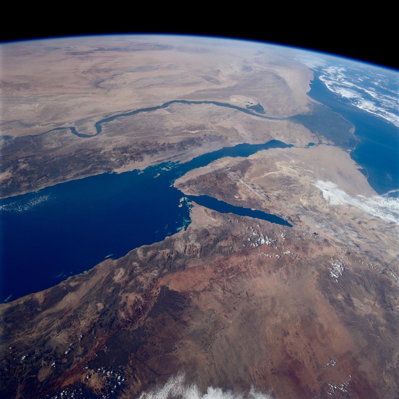
Earth observations taken from Space Shuttle Columbia during STS-80 mission
1996-11-28 · NASA Image and Video Library
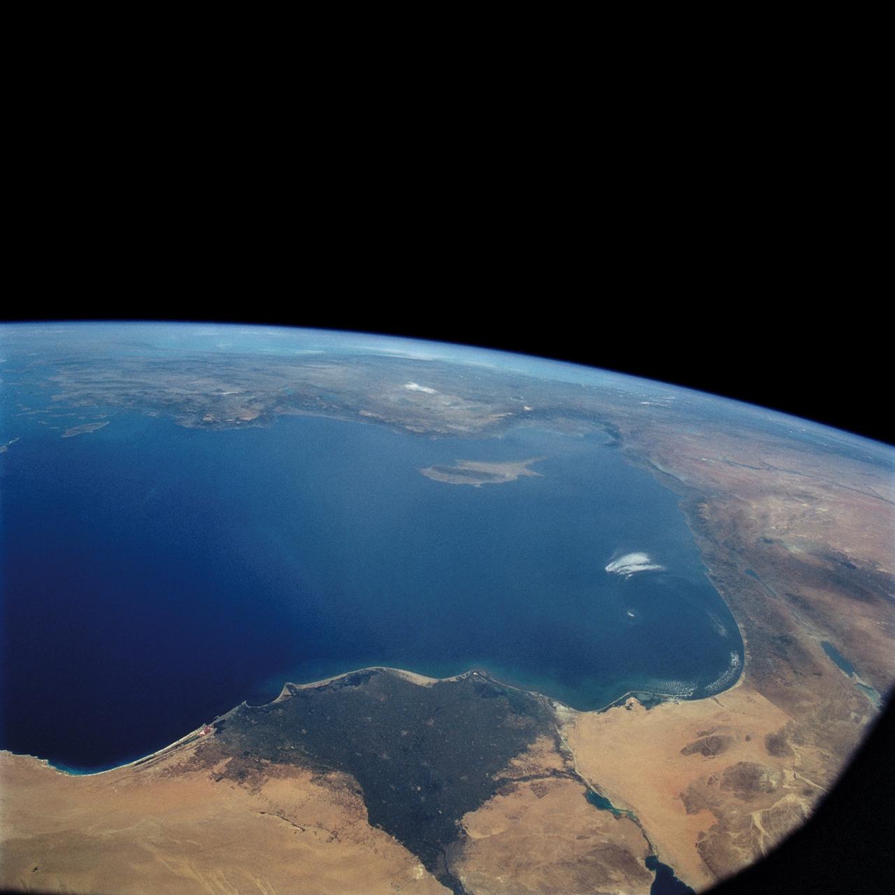
STS-57 Earth observation of the Eastern Mediterranean, Nile River, Asia Minor
1993-07-01 · NASA Image and Video Library
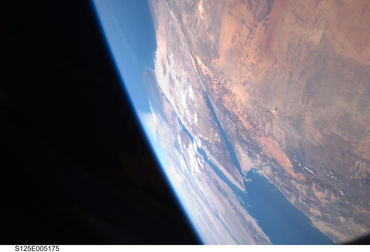
Earth Observation taken by the STS-125 Crew
2009-05-12 · NASA Image and Video Library
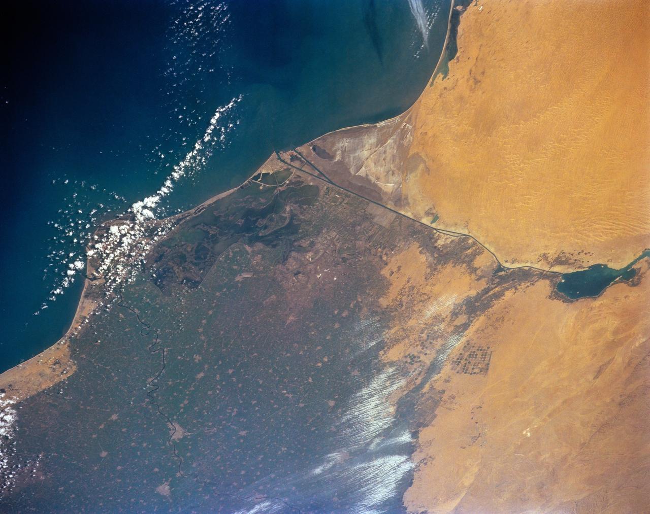
STS-56 Earth observation of the northeastern Nile Delta
1993-04-17 · NASA Image and Video Library