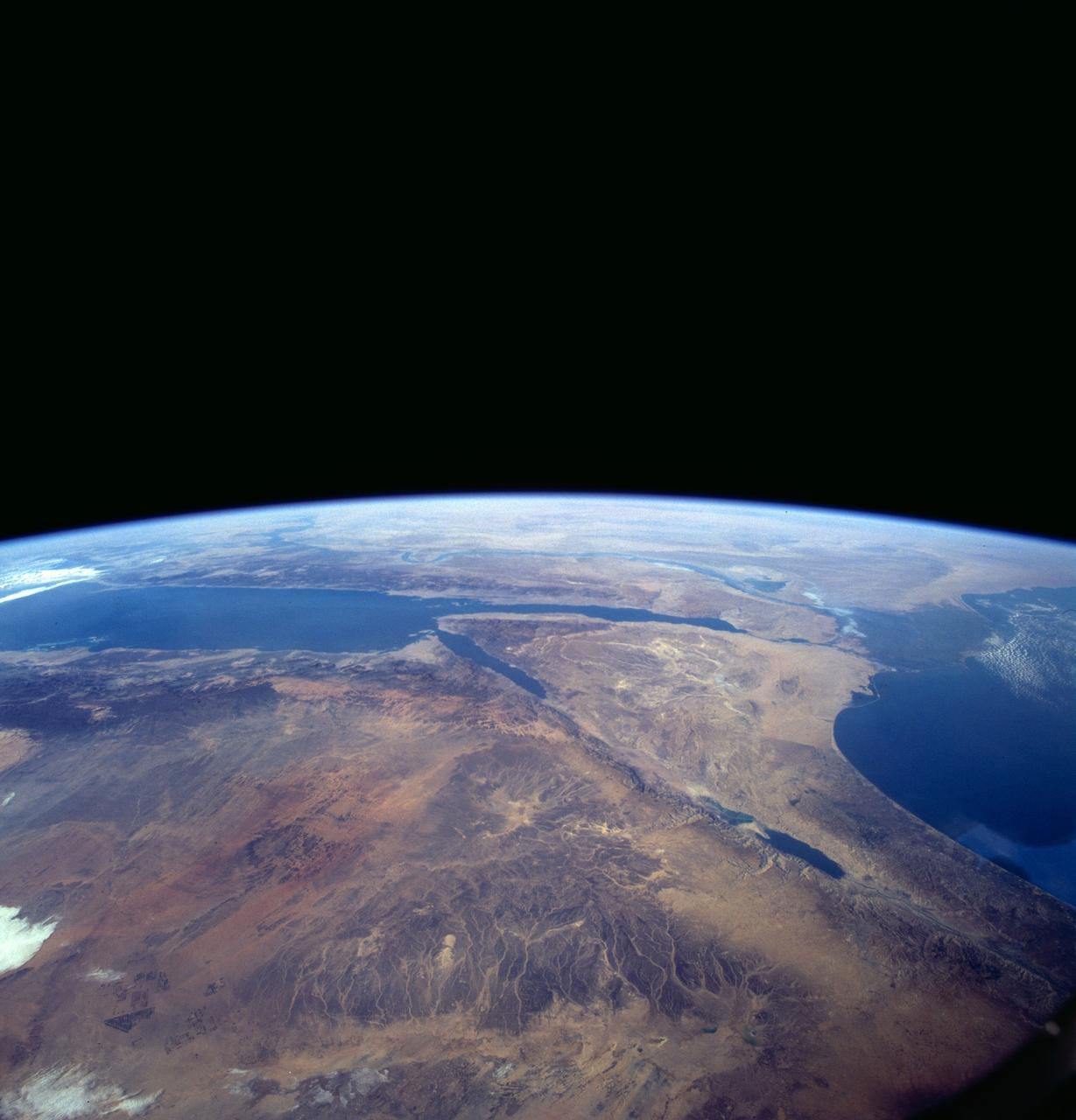
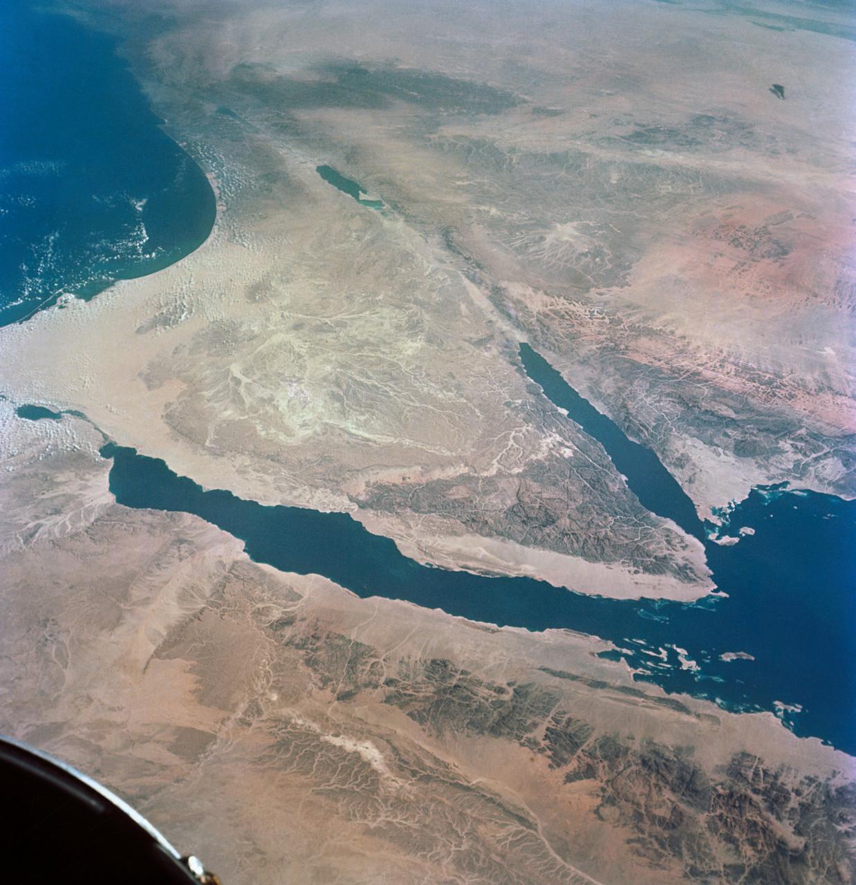
Sinai Peninsula, Middle East as seen from STS-66 orbiter Atlantis
A high oblique view of the Middle East centered at approximately 28.0 degrees north and 34.0 degrees east. Portions of the countries of Egypt, Israel, Jordan and Saudi Arabia are visible. The Dead Sea Rift Valley continuing into the Gulf of Aqaba marks the boundary between Israel and Jordan. The vegetation change in the Sinai Peninsula is the border between the Gaza Strip and Egypt. In Egypt, the Suez Canal connects the Gulf of Suez with the Mediterranean Sea and forms the western boundary of the Sinai Peninsula. The green ribbon of the Nile River is in marked contrast to this arid region. Even the Jordan River does not support large scale agriculture.
- Date
- 1994-11-14
- Collection
- JSC
- Archive
- NASA Image and Video Library
- Type
- photograph
Public domainsafest
Reason: a NASA work: not copyrighted in the United States.
Read from: NASA media usage guidelines: NASA material is not copyrighted in the US unless noted; no third-party credit or mark found.
Credit line
"Sinai Peninsula, Middle East as seen from STS-66 orbiter Atlantis" (1994-11-14). NASA/JSC. Public domain. https://images.nasa.gov/details/sts066-125-005Need photos for a whole script? Add Find Any Photo to Claude and ask for this one by its id: 15137.
More like this
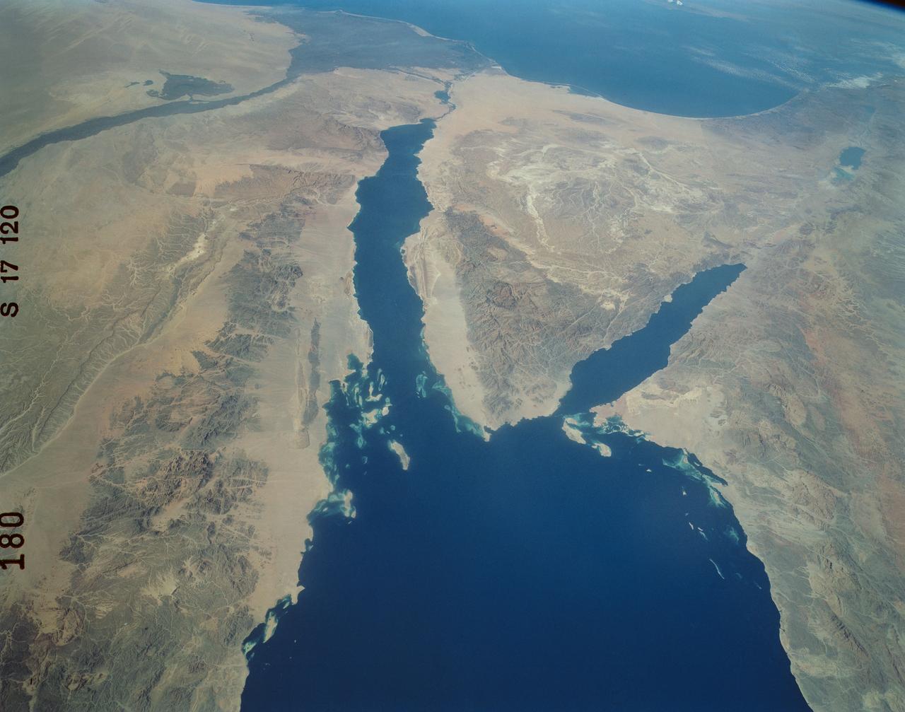
Panoramic Sinai Peninsula, Red Sea
1984-10-13 · NASA Image and Video Library
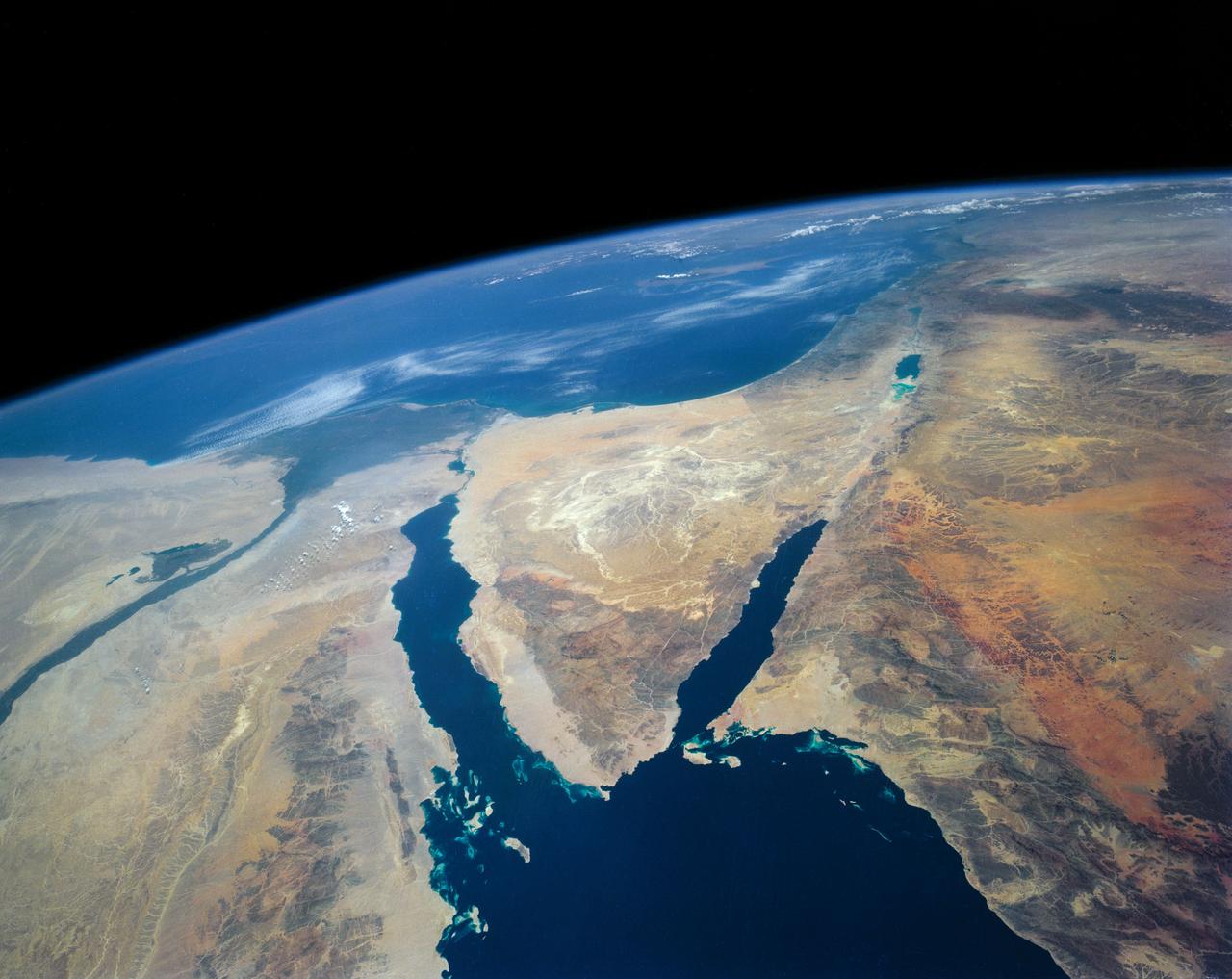
Southeastern Mediterranean Panorama
1991-06-14 · NASA Image and Video Library
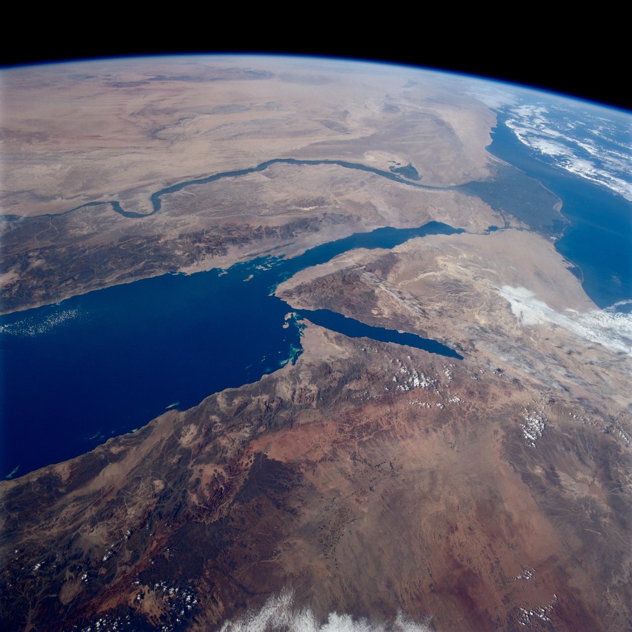
Earth observations taken from Space Shuttle Columbia during STS-80 mission
1996-11-28 · NASA Image and Video Library
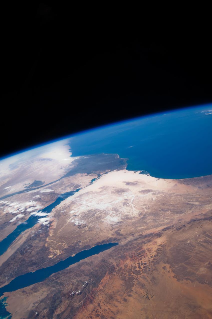
Earth Observation taken by the STS-125 Crew
2009-05-12 · NASA Image and Video Library
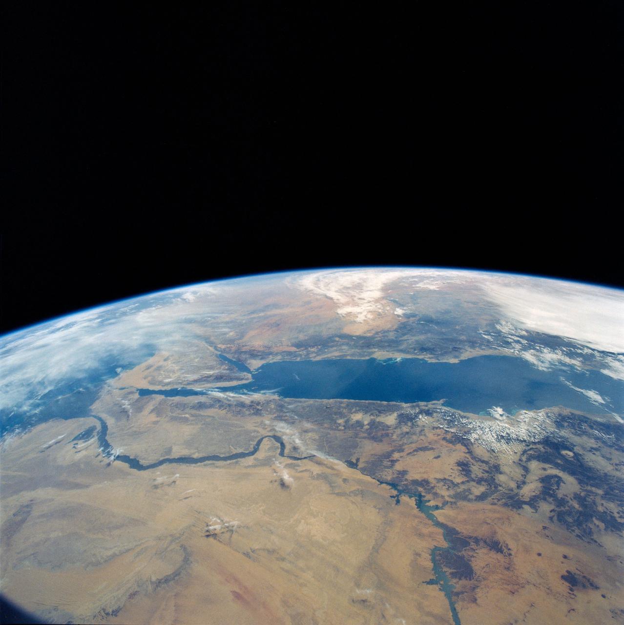
Eastern Egypt, Red Sea and Saudi Arabia
1990-04-29 · NASA Image and Video Library
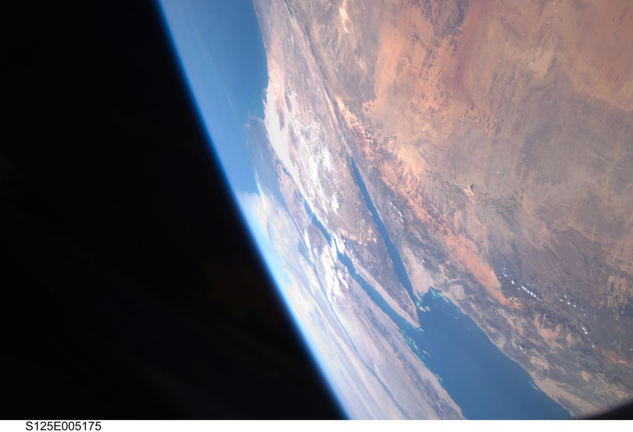
Earth Observation taken by the STS-125 Crew
2009-05-12 · NASA Image and Video Library
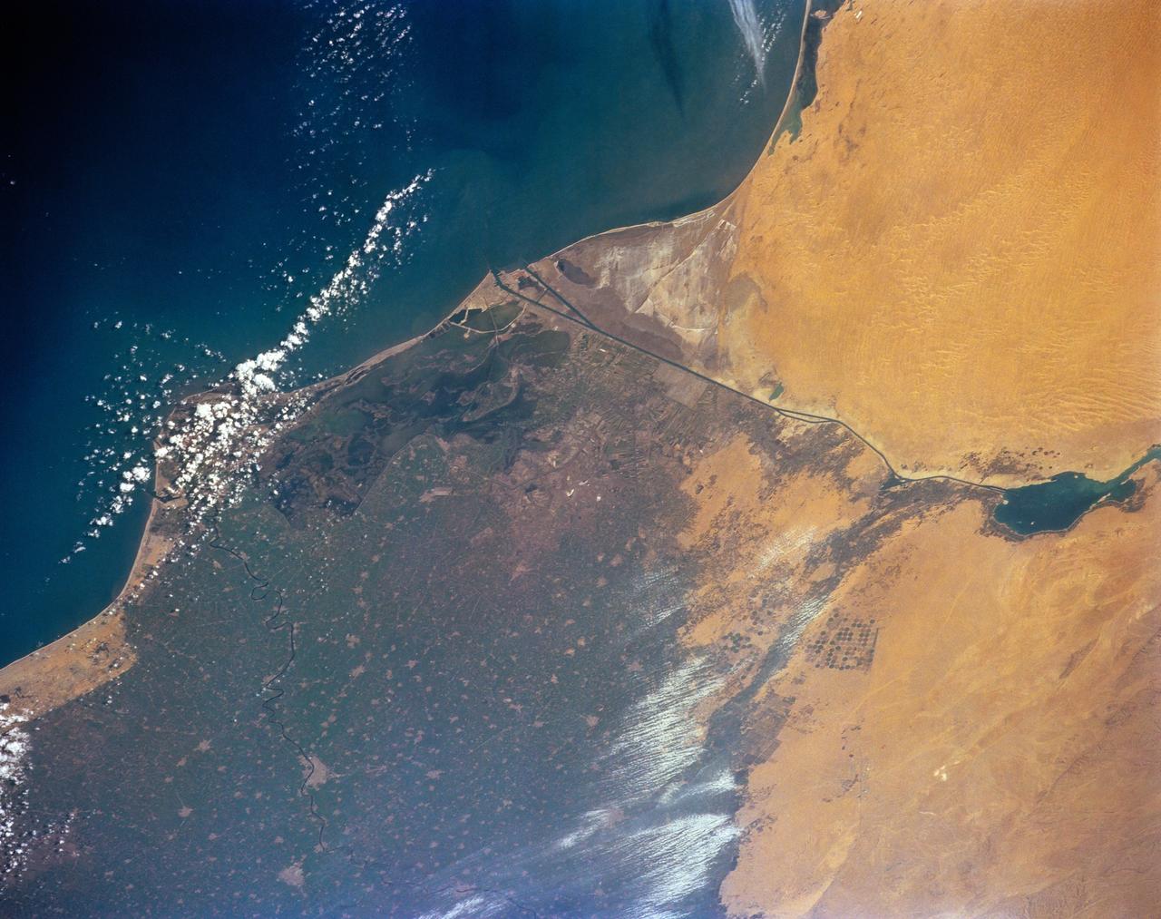
STS-56 Earth observation of the northeastern Nile Delta
1993-04-17 · NASA Image and Video Library
GEMINI-TITAN (GT)-11 - EARTH SKY - OVERLAY - SINAI PENINSULA - POINTS OF INTEREST - OUTER SPACE
1966-09-14 · NASA Image and Video Library