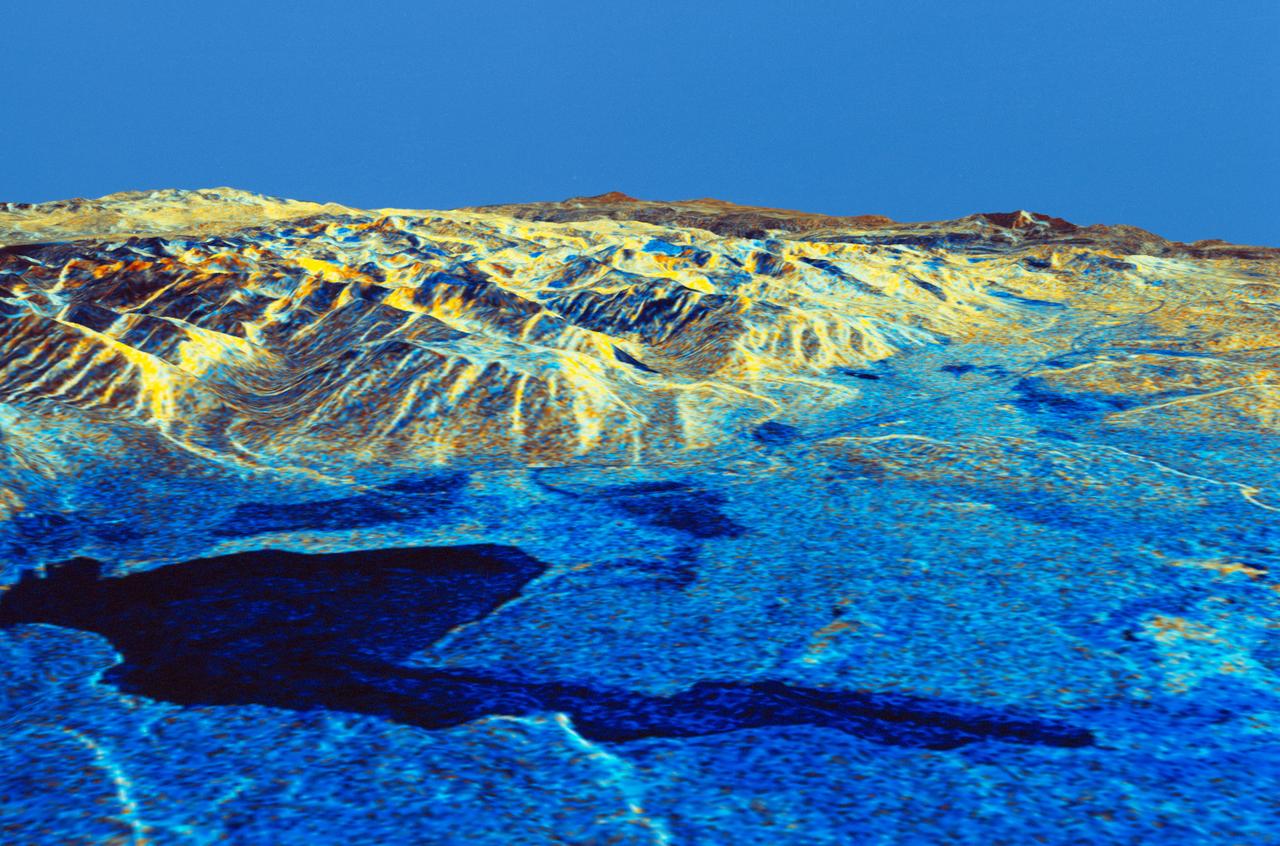
Three dimensional perspective view of Mammoth Mountain, California
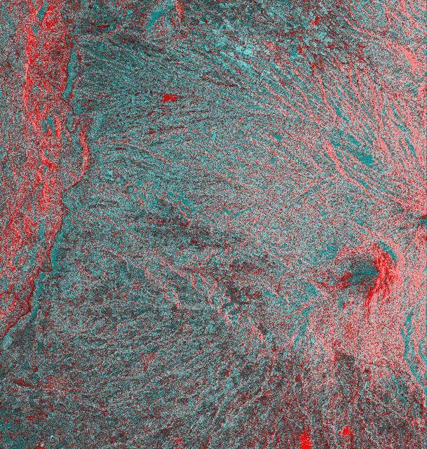
STS059-S-084 (17 April 1994) --- This is a three-dimensional perspective of Mammoth Mountain, California. This view was constructed by overlaying a SIR-C radar image on a U.S. Geological Survey digital elevation map. Vertical exaggeration is 2x. The image is centered at 37.6 degrees north, 119.0 degrees west. It was acquired from the Spaceborne Imaging Radar-C and X-Band Synthetic Aperture Radar (SIR-C/X-SAR) onboard the Space Shuttle Endeavour on its 67th orbit, April 13, 1994. In this color representation, red is C-Band HV-polarization, green is C-Band VV-polarization and blue is the ratio of C-Band VV to C-Band HV. Blue areas are smooth and yellow areas are rock outcrops with varying amounts of snow and vegetation. Crowley Lake is in the foreground and Highway 395 crosses in the middle of the image. Mammoth Mountain is shown in the upper right. SIR-C/X-SAR is part of NASA's Mission to Planet Earth (MTPE). SIR-C/X-SAR radars illuminate Earth with microwaves allowing detailed observations at any time, regardless of weather or sunlight conditions. SIR-C/X-SAR uses three microwave wavelengths: L-Band (24 cm), C-Band (6 cm), and X-Band (3 cm). The multi-frequency data will be used by
- Date
- 1994-04-17
- Collection
- JSC
- Archive
- NASA Image and Video Library
- Type
- photograph
Public domainsafest
Reason: a NASA work: not copyrighted in the United States.
Read from: NASA media usage guidelines: NASA material is not copyrighted in the US unless noted; no third-party credit or mark found.
Credit line
"Three dimensional perspective view of Mammoth Mountain, California" (1994-04-17). NASA/JSC. Public domain. https://images.nasa.gov/details/sts059-s-084Need photos for a whole script? Add Find Any Photo to Claude and ask for this one by its id: 15078.
More like this
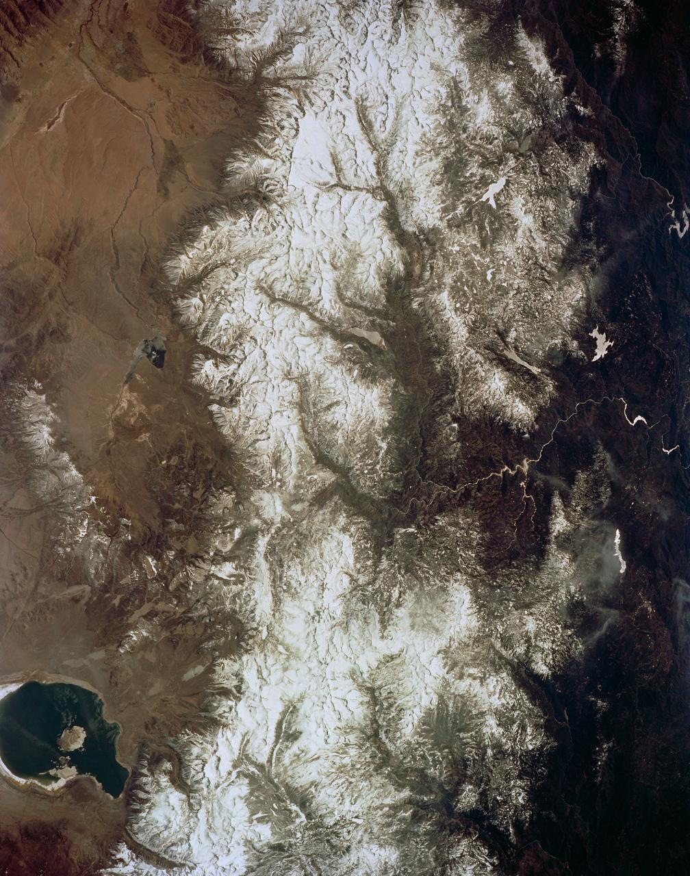
Mono Lake, California as seen from STS-59
1994-04-14 · NASA Image and Video Library
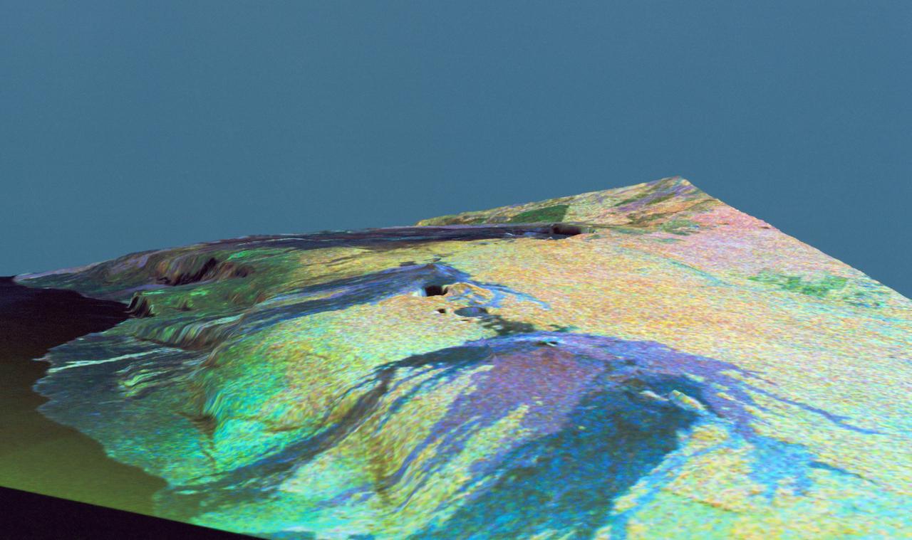
Three dimensional perspective view of false-color image of eastern Hawaii
1994-04-18 · NASA Image and Video Library
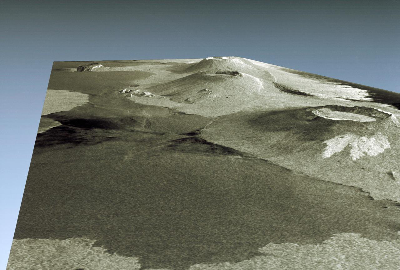
Three dimensional perspective view of portion of western Galapagos Islands
1994-04-18 · NASA Image and Video Library
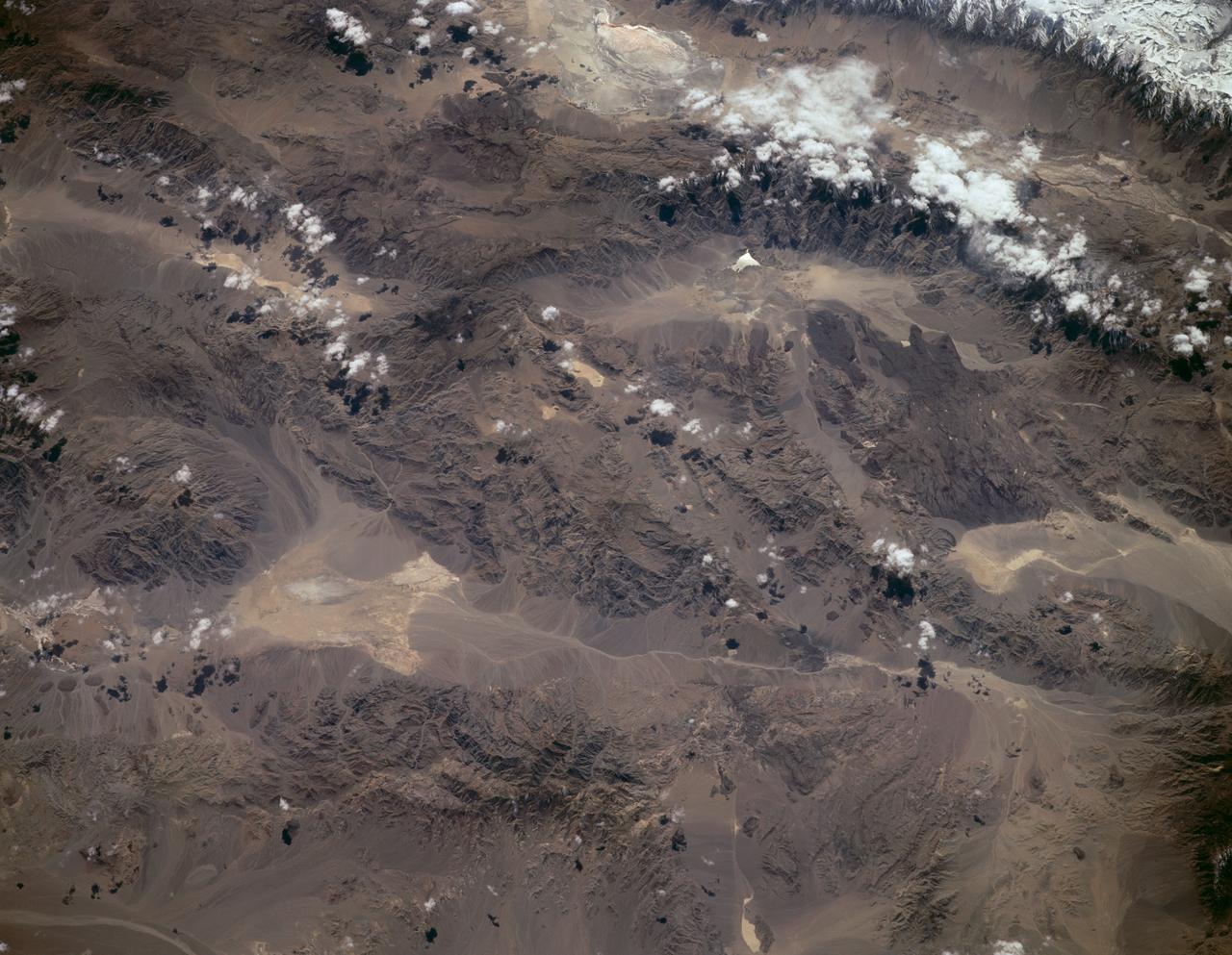
Sierra Nevada, California as seen from STS-59
1994-04-14 · NASA Image and Video Library
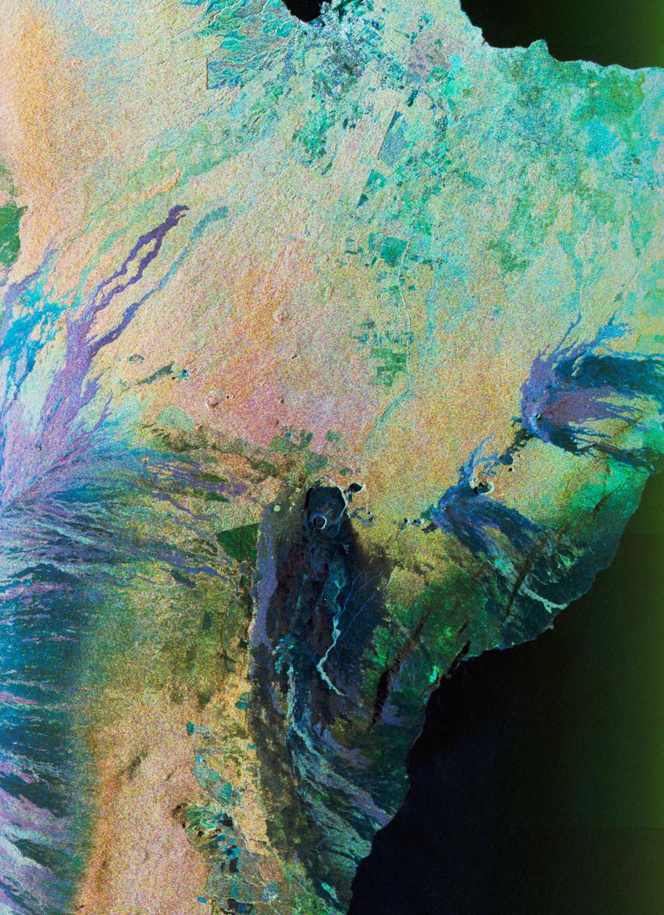
Color composite C-band and L-band image of Kilauea volcanoe on Hawaii
1994-04-15 · NASA Image and Video Library
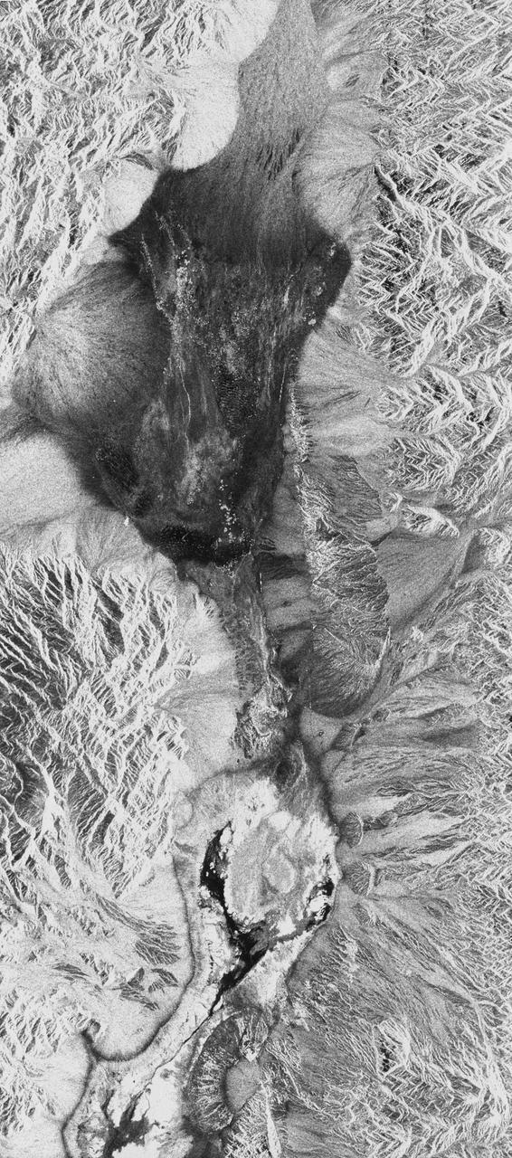
Death Valley, California
1994-04-11 · NASA Image and Video Library
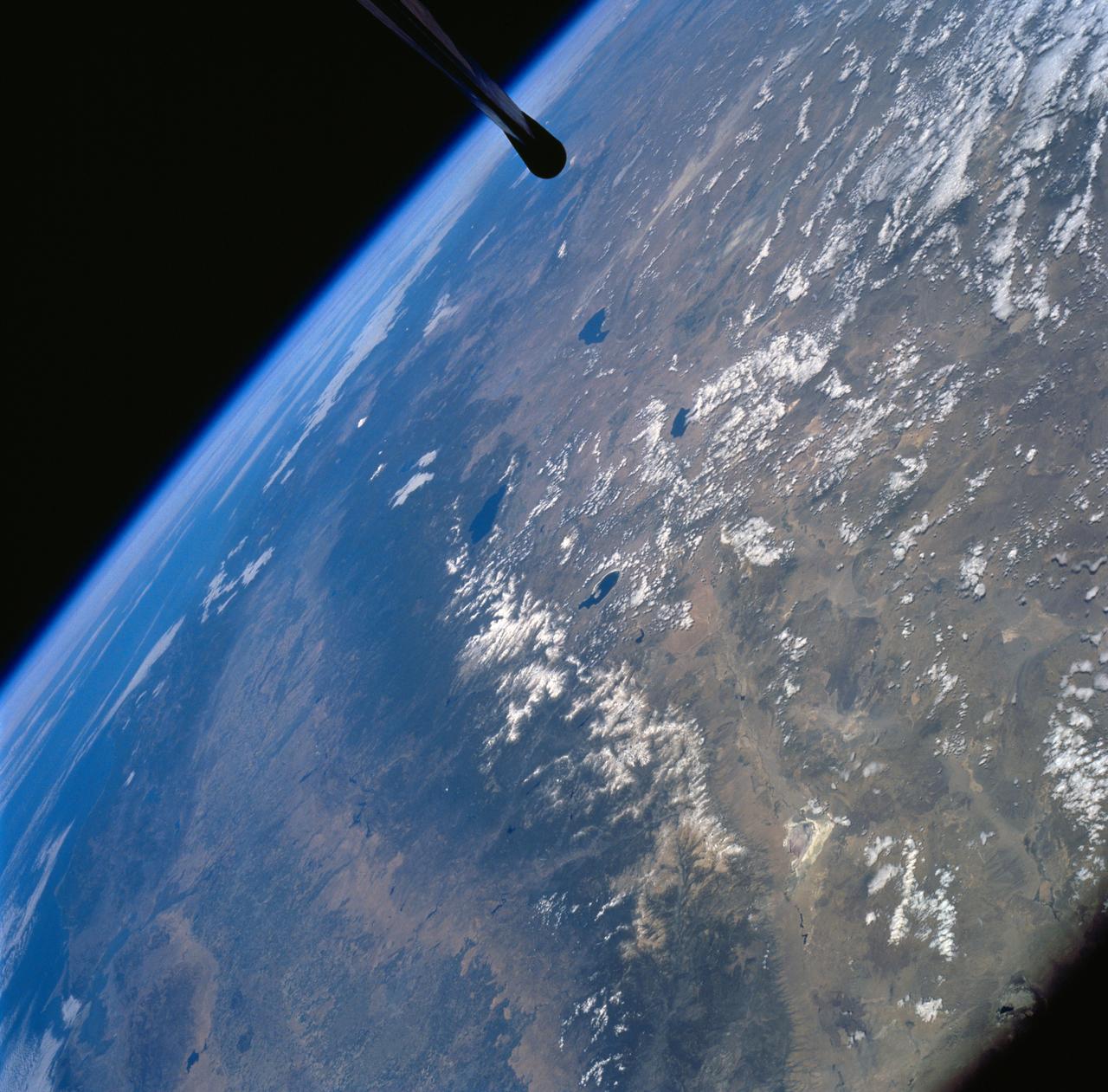
Sierra Nevada Mountain Range as seen from STS-58
1994-10-20 · NASA Image and Video Library
Space Radar Image of Colima Volcano, Jalisco, Mexico
1999-05-01 · NASA Image and Video Library