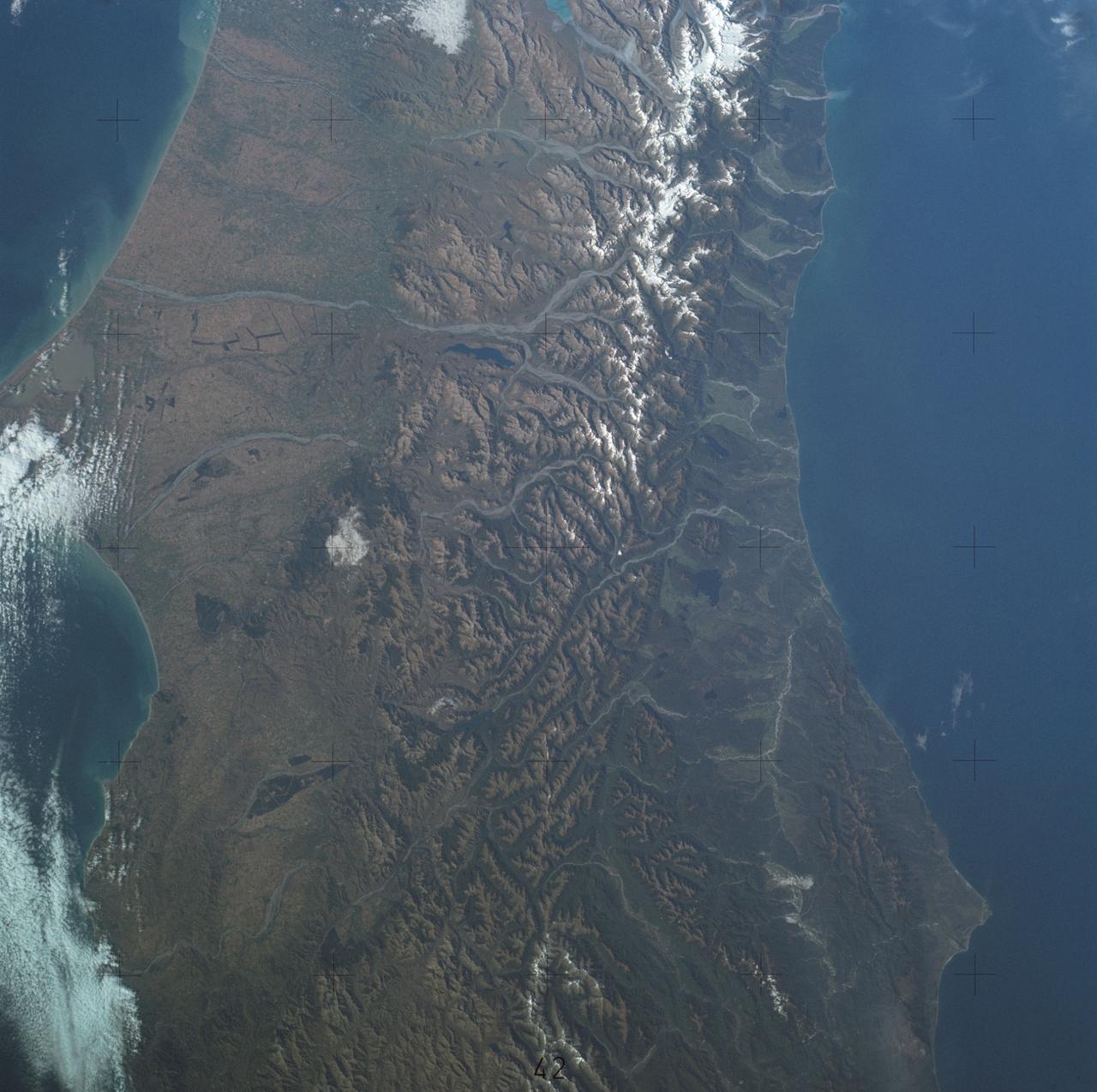
View of portion of South Island, New Zealand as seen from Skylab
SL4-137-3700 (22 Dec. 1973) --- A near vertical view of a portion of South Island, New Zealand, as see from the Skylab space station in Earth orbit. This picture was taken by one of the Skylab 4 crew members with a handheld 70mm Hasselblad camera using a 100mm lens. The picture should be held with the largest body of water (Tasman Sea) on the left. Cape Foulwind is at the upper left. The City of Christchurch is under clouds at the center right margin. Note the movement of sediment by alongshore currents, especially on the east (right) side of the island. The Alpine Fault, which is part of the circum-Pacific volcanic-tectonic belt, is clearly visible on the left (west) side of the island. The fault line is marked by a scarp, which appears very distinct from orbital altitude. Differences in topography and vegetation on either side of the fault are also sharp. Streams change direction at the fault line, and the change in slope at the fault line is evident in the widening of stream channels. The left side of the fault has moved northeast (upward) relative to the right side; some stream offsets indicate the direction of relative movement, but others are controlled by local topography. T
- Date
- 1973-12-22
- Collection
- JSC
- Archive
- NASA Image and Video Library
- Type
- photograph
Public domainsafest
Reason: a NASA work: not copyrighted in the United States.
Read from: NASA media usage guidelines: NASA material is not copyrighted in the US unless noted; no third-party credit or mark found.
Credit line
"View of portion of South Island, New Zealand as seen from Skylab" (1973-12-22). NASA/JSC. Public domain. https://images.nasa.gov/details/sl4-137-3700Need photos for a whole script? Add Find Any Photo to Claude and ask for this one by its id: 15030.
More like this
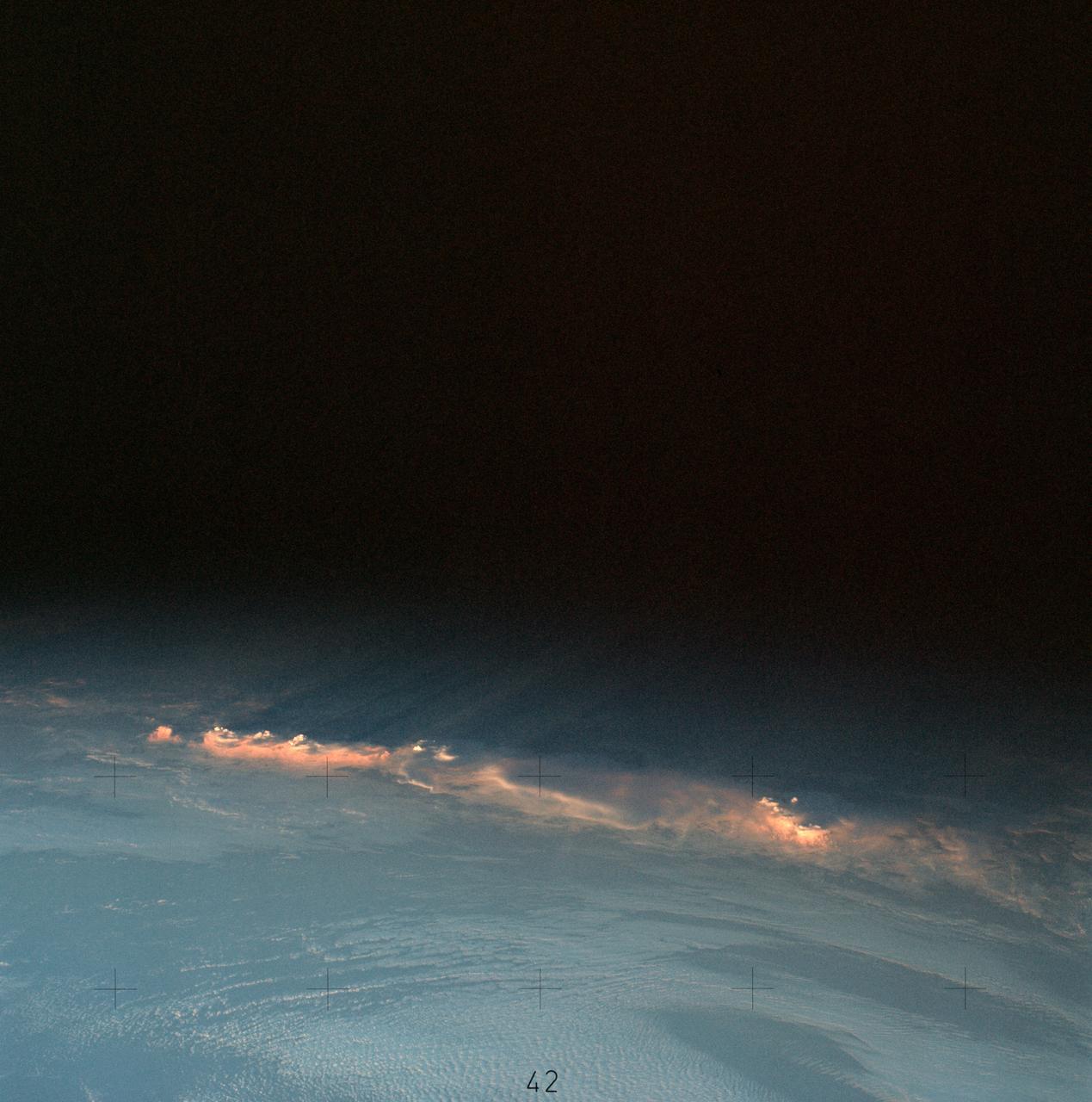
Clouds near New Zealand photographed from Skylab space station
1973-12-12 · NASA Image and Video Library
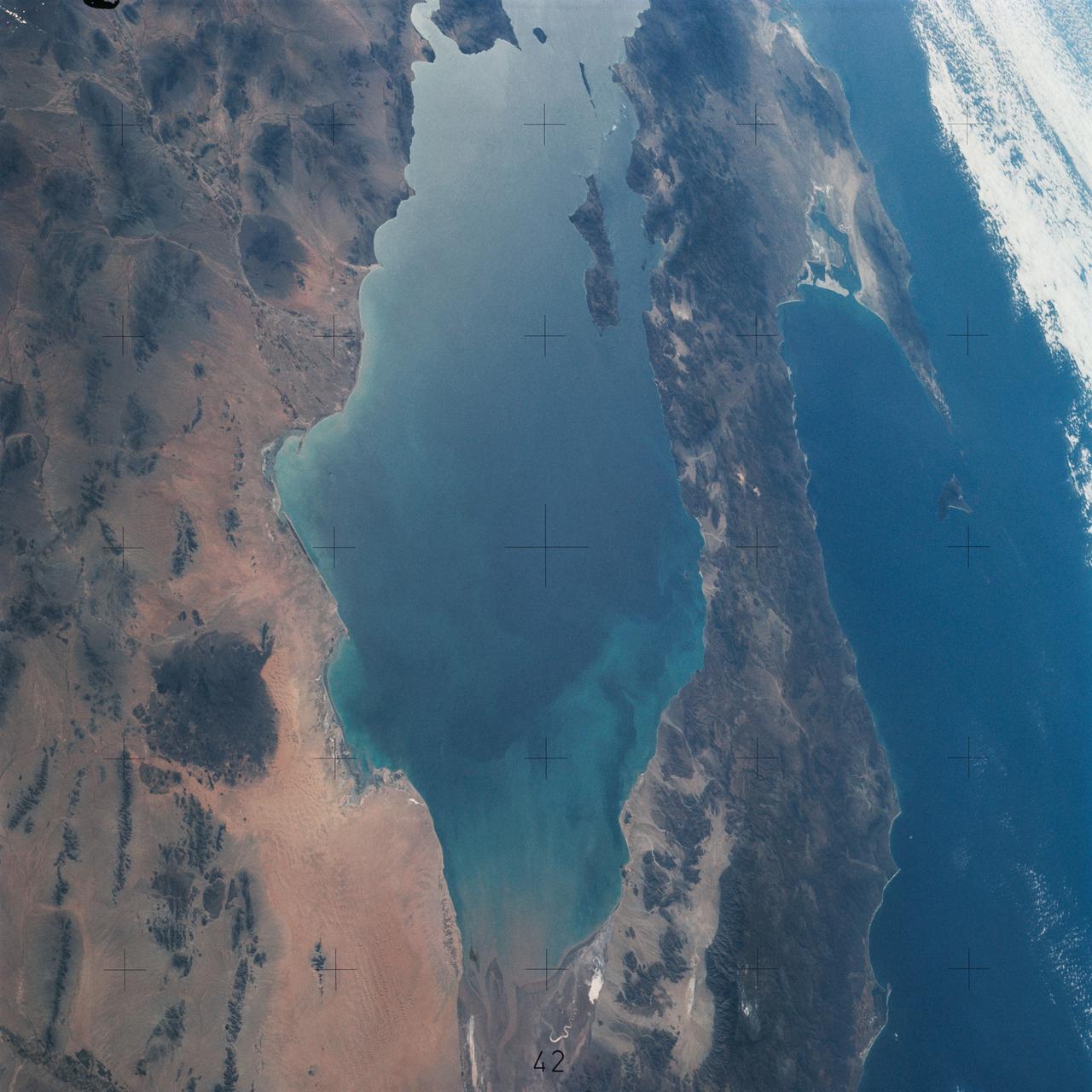
Northwestern Mexico as photographed from Skylab
1975-01-27 · NASA Image and Video Library
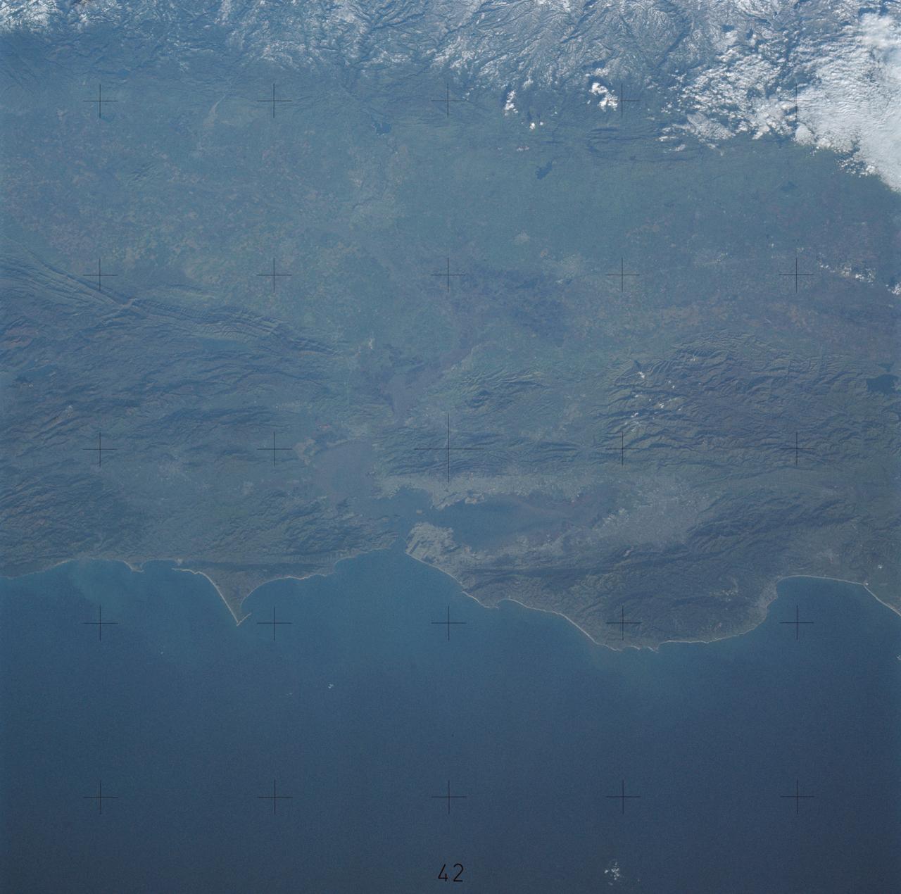
Northern California near San Francisco
1974-01-01 · NASA Image and Video Library
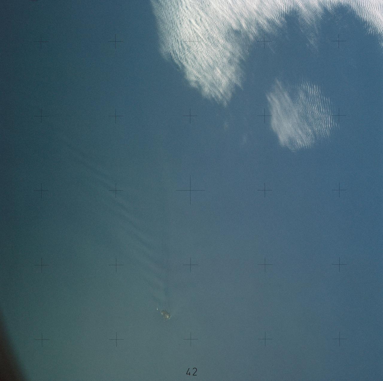
Island wake produced by Antipodes Islands south of New Zealand
1973-12-16 · NASA Image and Video Library
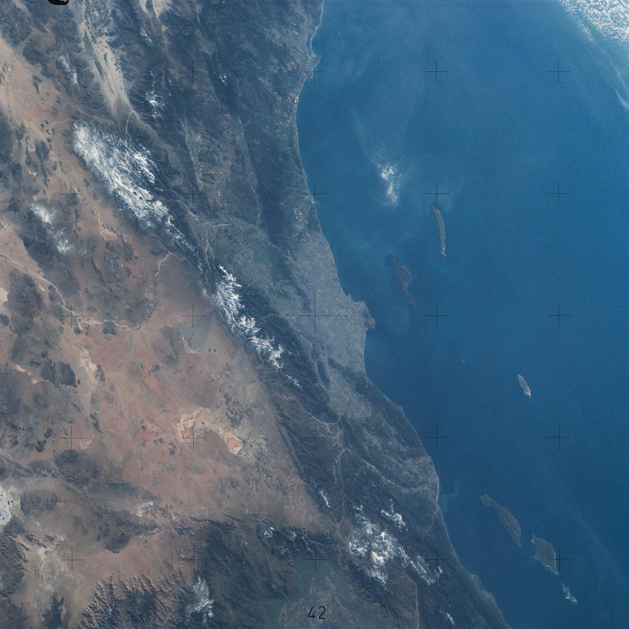
Pacific Coast of Southern California including Los Angeles and San Diego
1974-02-01 · NASA Image and Video Library
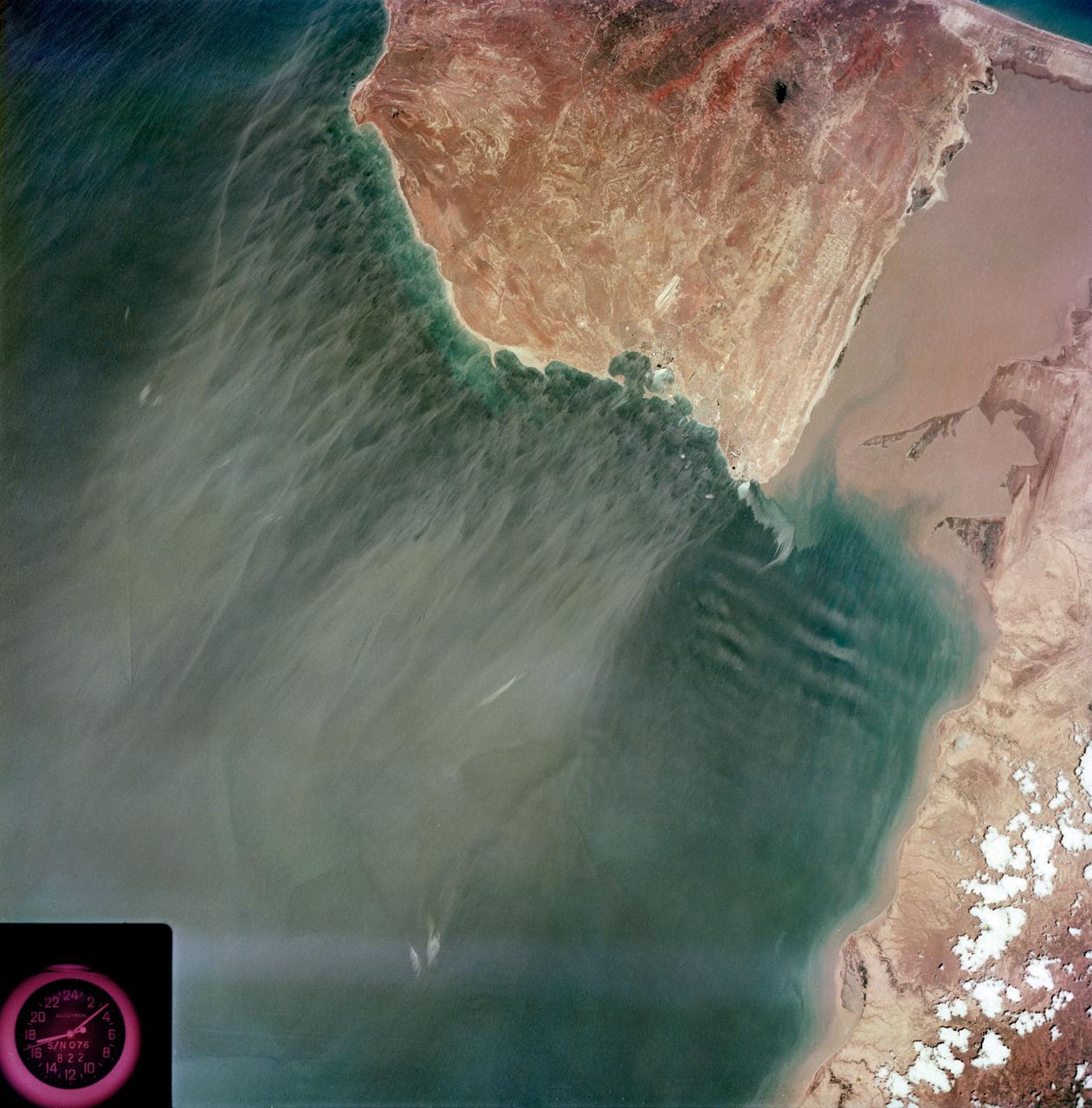
View - Caribbean Coast - Venezuela
1973-08-15 · NASA Image and Video Library

View of Florence, Italy area from Skylab
1973-08-01 · NASA Image and Video Library
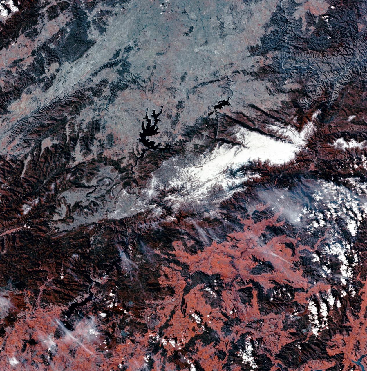
View of Snowy Mountains area of Australian Alps as photographed from Skylab
1973-07-30 · NASA Image and Video Library