
View of southeastern Washington State
SL3-22-0214 (July-September 1973) --- A vertical view of southeastern Washington State as photographed from Earth orbit by one of the six lenses of the Itek-furnished S190-A Multispectral Photographic Facility Experiment aboard the Skylab space station. The Snake River flows into the Columbia River in the most southerly corner of the picture. The Wallula Lake is below the junction of the two rivers. The Yakima Valley is at the southwestern edge of the photograph. The Columbia Basin is in the center of the picture. The Cascade Range extends across the northwest corner of the photograph. This picture was taken with type SO-356 regular color film. The S190-A experiment is part of the Earth Resources Experiments Package. Federal agencies participating with NASA on the EREP project are the Departments of Agriculture, Commerce, Interior, the Environmental Protection Agency and the Corps of Engineers. All EREP photography is available to the public through the Department of Interior?s Earth Resources Observations Systems Data Center, Sioux Falls, South Dakota, 57198. Photo credit: NASA
- Date
- 1973-08-30
- Collection
- JSC
- Archive
- NASA Image and Video Library
- Type
- photograph
Public domainsafest
Reason: a NASA work: not copyrighted in the United States.
Read from: NASA media usage guidelines: NASA material is not copyrighted in the US unless noted; no third-party credit or mark found.
Credit line
"View of southeastern Washington State" (1973-08-30). NASA/JSC. Public domain. https://images.nasa.gov/details/SL3-22-0214Need photos for a whole script? Add Find Any Photo to Claude and ask for this one by its id: 13839.
More like this
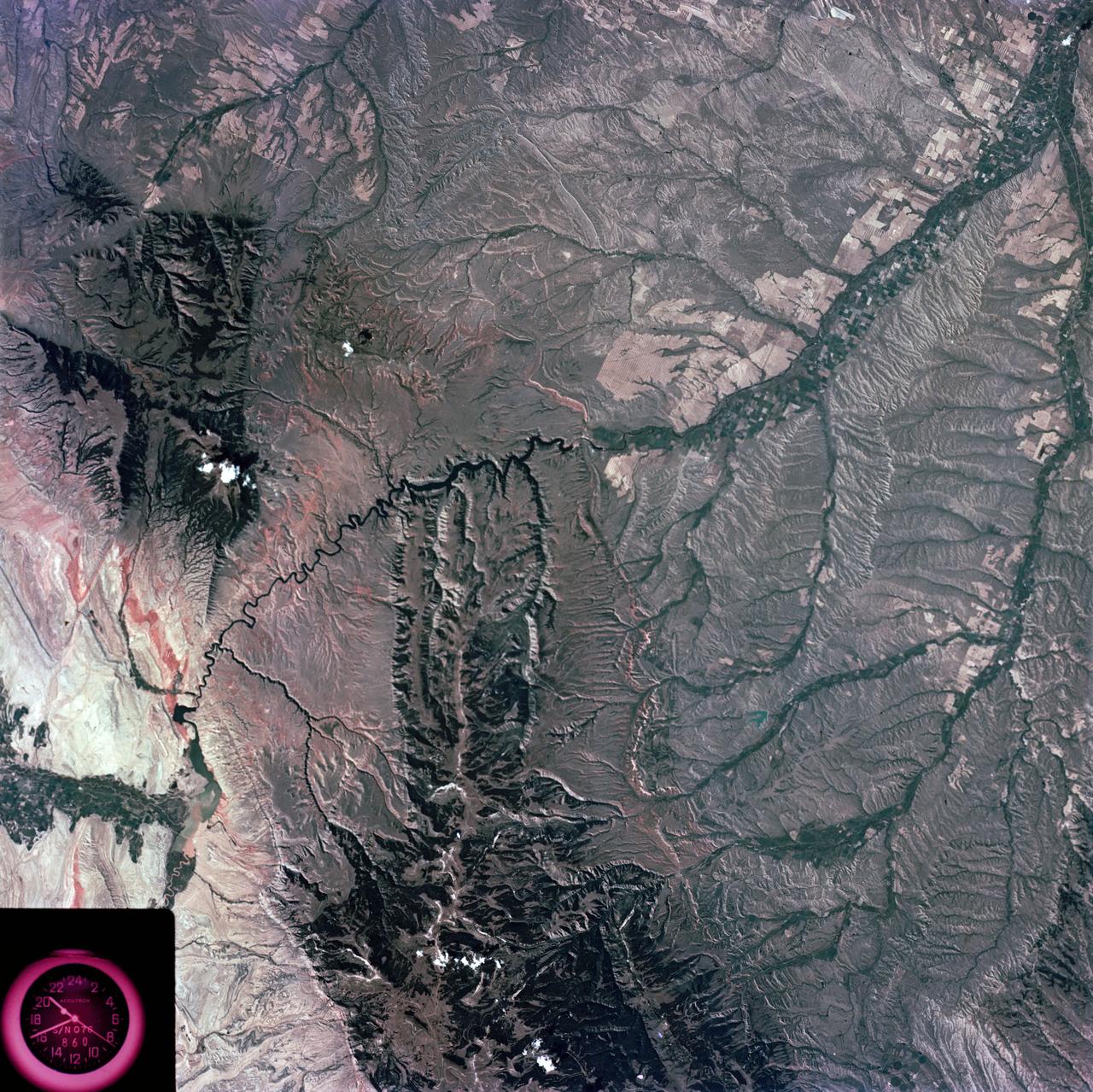
Slylab (SL)-3 View - North Central Wyoming (WY) - Southern Montana (MT)
1973-08-15 · NASA Image and Video Library
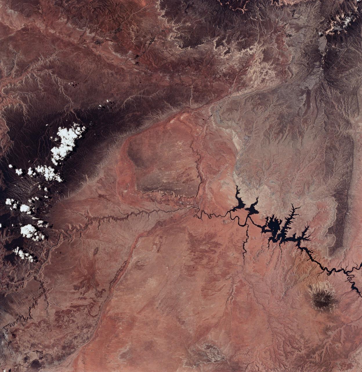
Lake Powell, Colorado River, Utah and Grand Canyon, Arizona
1973-06-22 · NASA Image and Video Library
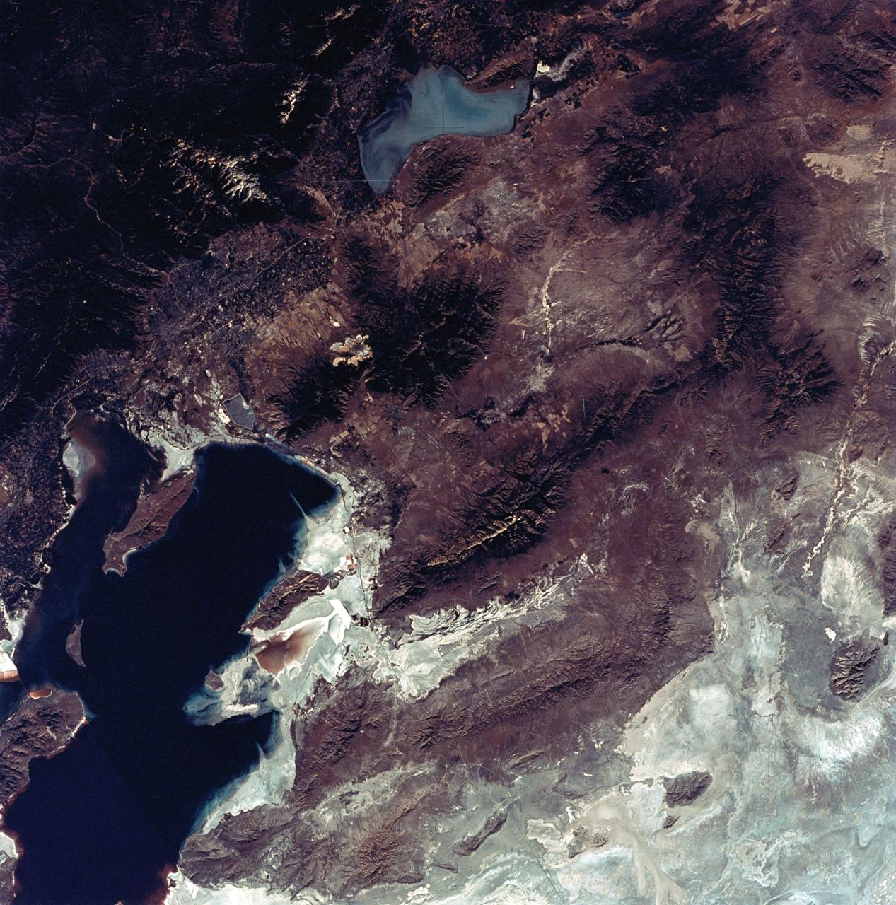
View of the Salt Lake City, Utah area
1973-08-30 · NASA Image and Video Library
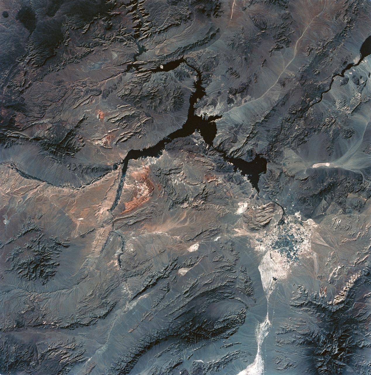
View of Lake Mead and Las Vegas, Nevada area from Sklyab
1973-08-01 · NASA Image and Video Library
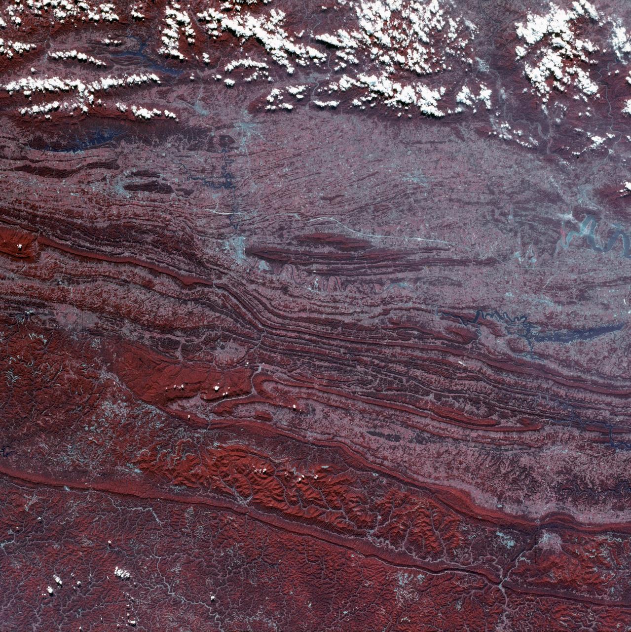
View of Virginia, Tennessee, Kentucky border area
1973-08-30 · NASA Image and Video Library
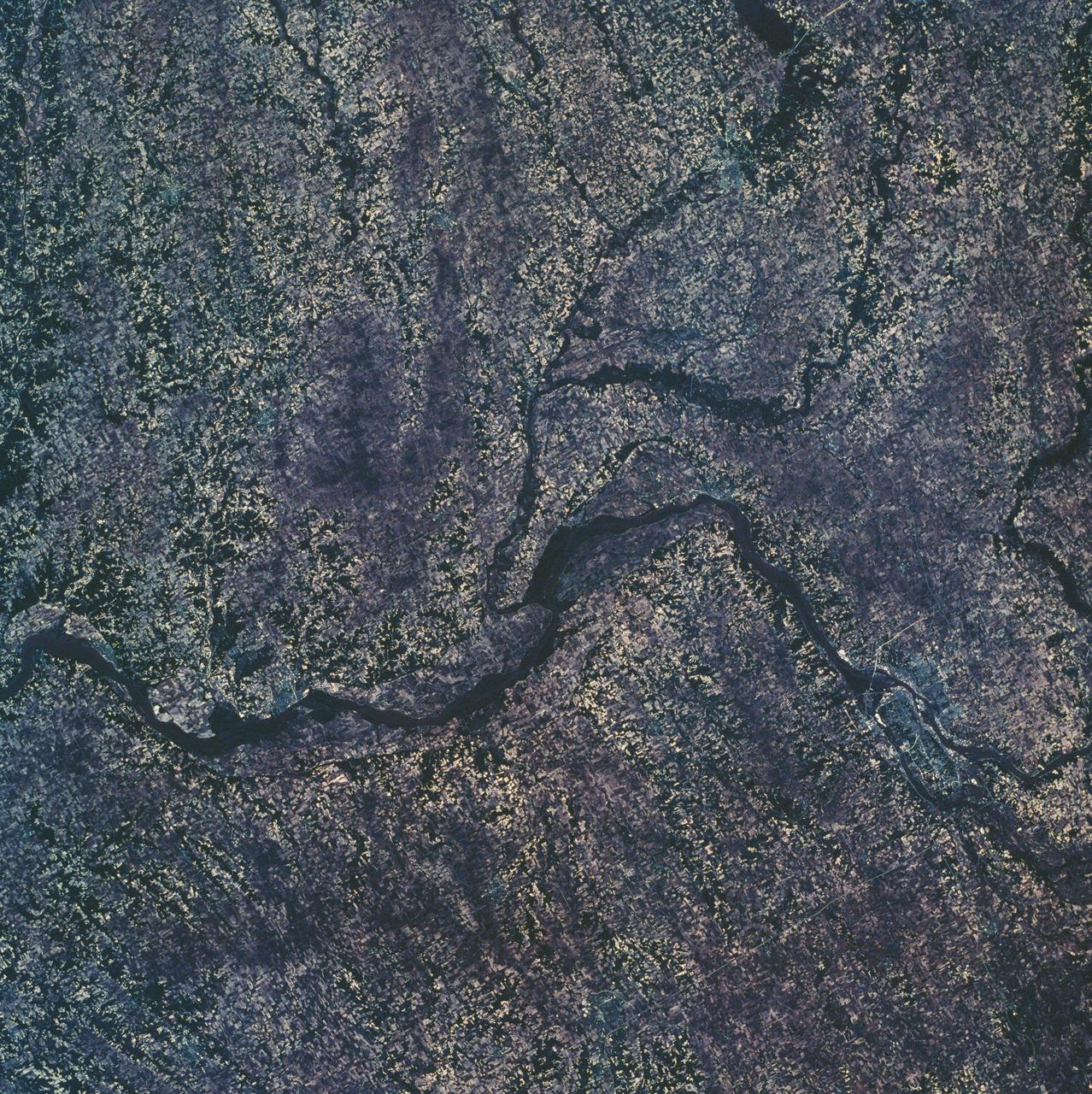
Eastern Iowa, Northwestern Illinois
1973-06-22 · NASA Image and Video Library
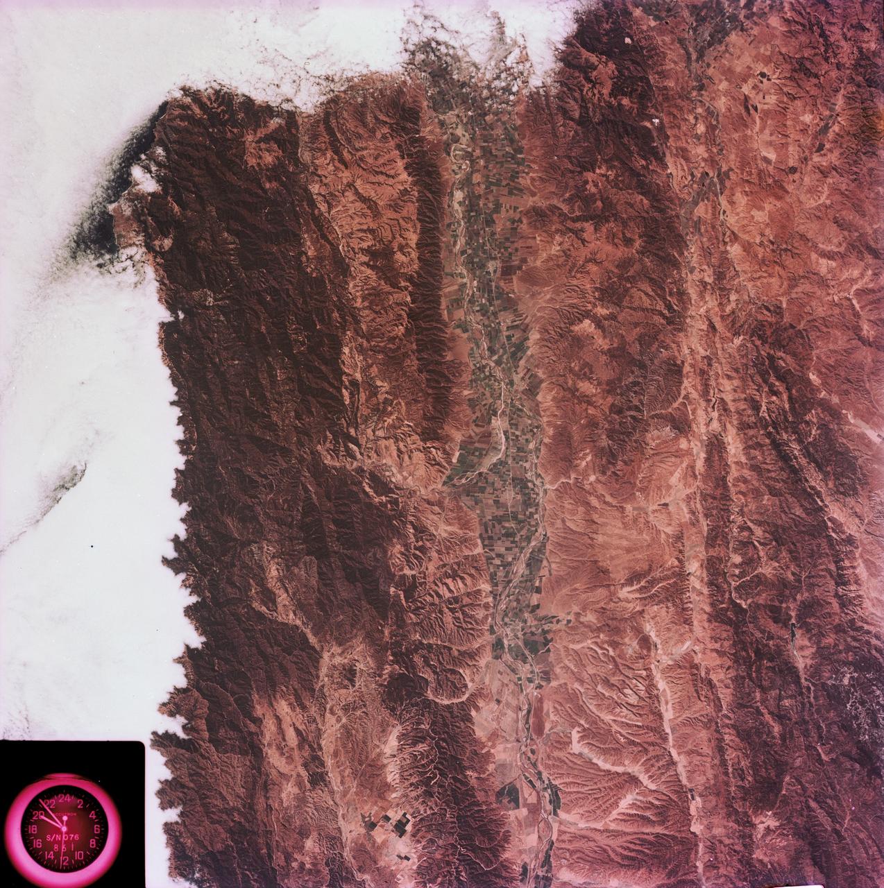
View of the Salinas River Valley area south of Monterey Bay, California
1973-08-15 · NASA Image and Video Library
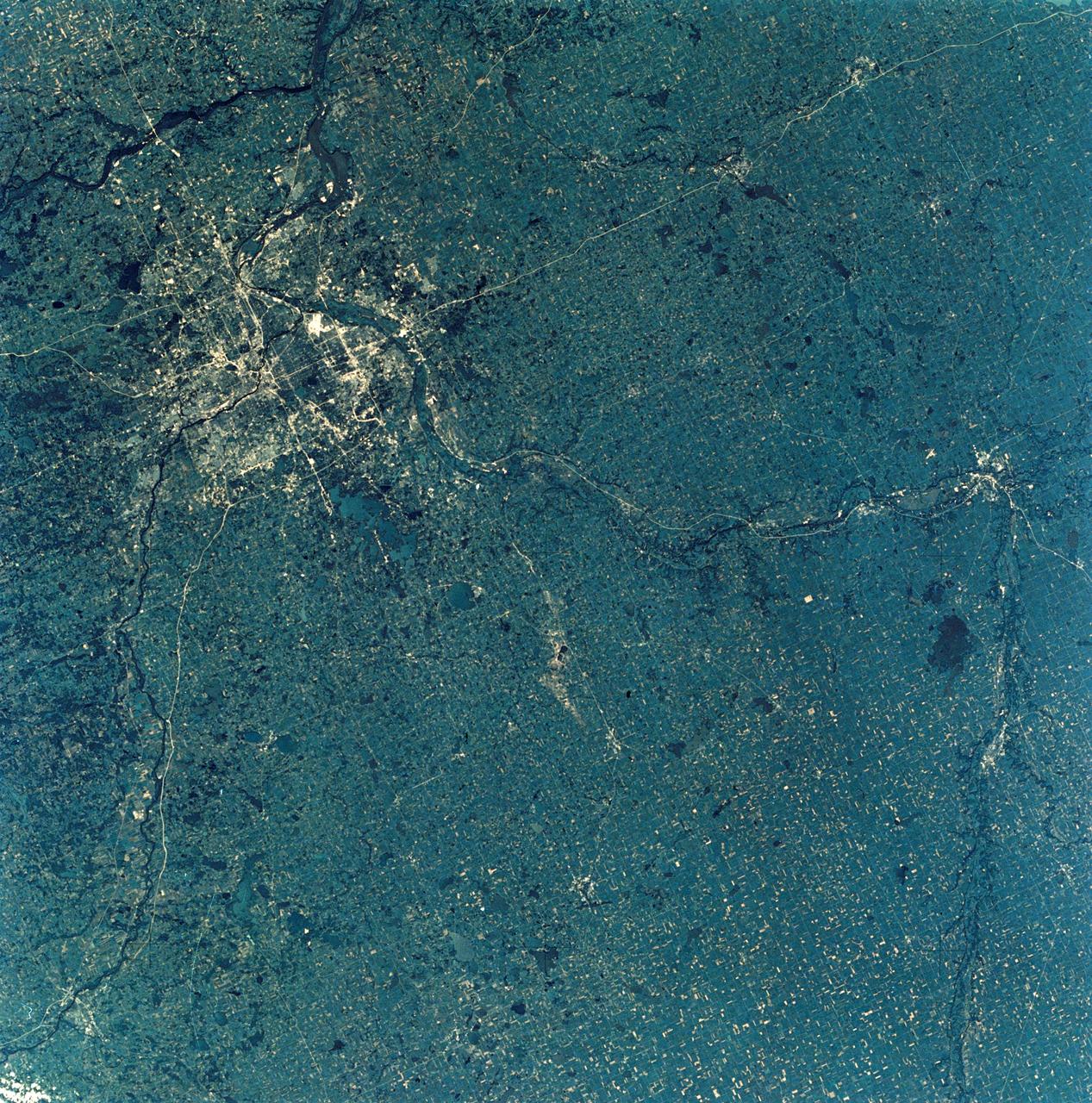
View of Minneapolis-St.Paul, Minnesota area
1973-08-30 · NASA Image and Video Library