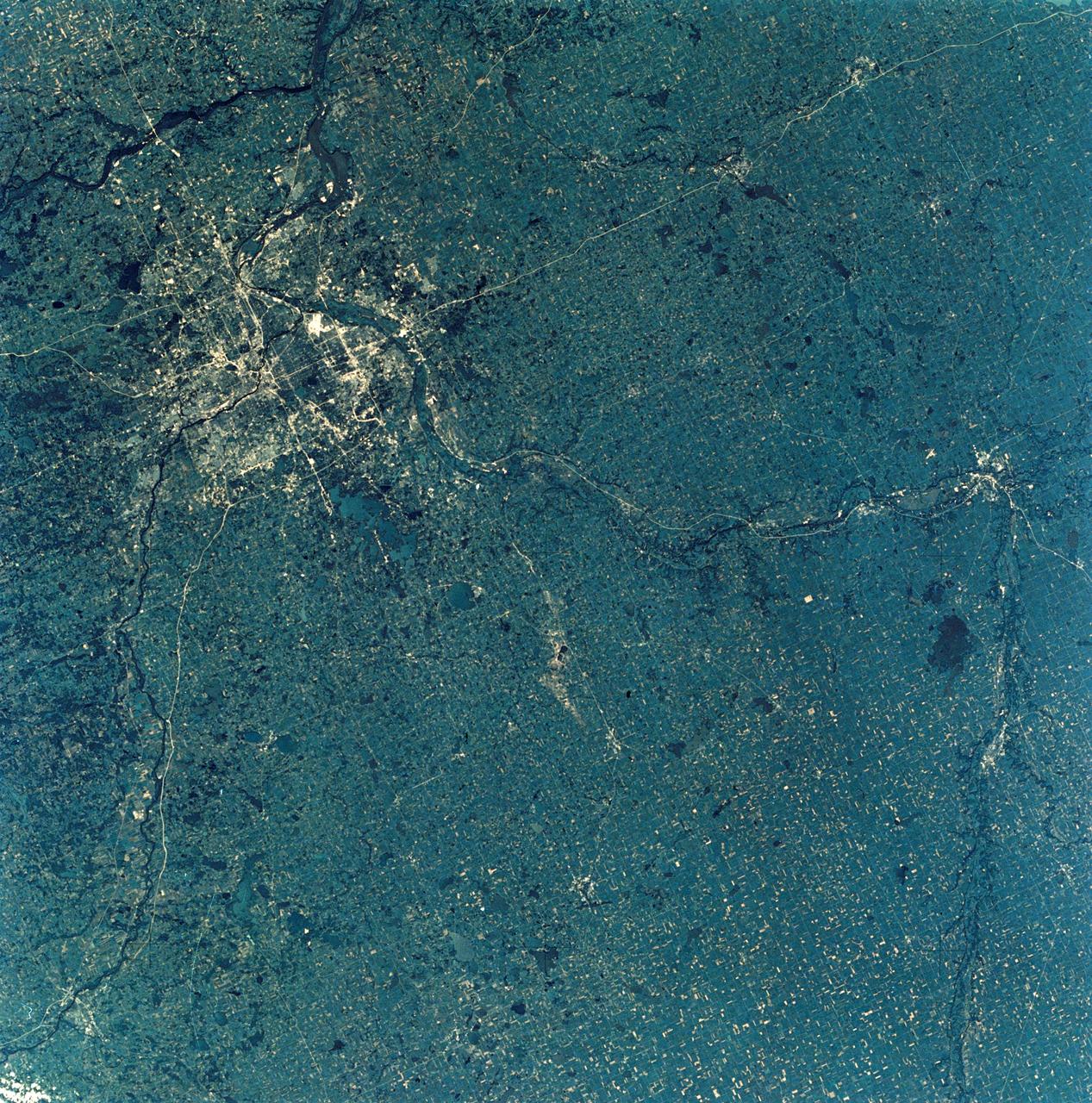
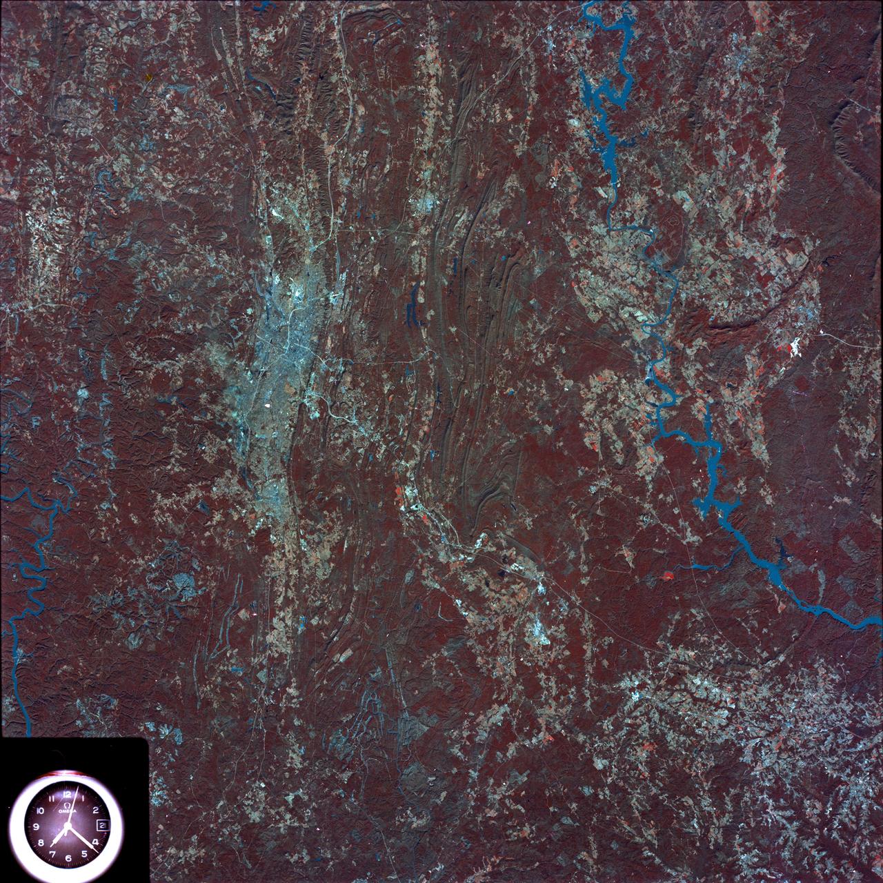
View of Minneapolis-St.Paul, Minnesota area
SL3-28-009 (July-September 1973) --- A near vertical view of the Minneapolis-St. Paul, Minnesota area, as photographed from Earth orbit by one of the six lenses of the Itek-furnished S190-A Multispectral Photographic Facility Experiment in the Multiple Docking Adapter of the Skylab space station. A 150mm lens, with SO-356 high definition Ektachrome film, was used to take this picture. The Mississippi River flows southeasterly through this large metropolitan area. Minneapolis is on the west bank of the Mississippi. The Minnesota River makes a large bend at the southern edge of the picture then flows northeasterly to empty into the Mississippi at Minneapolis-St. Paul. The St. Croix River, which serves as a portion of the boundary between Minnesota and Wisconsin, flows into the Mississippi downstream from the twin cities. A long, nearly straight, stretch of Interstate 35 leads southward from Minneapolis-St. Paul. Interstate 94 parallels the Mississippi toward the northwest. The highway and road network in the area is clearly visible. Note the numerous small lakes in the photograph. This view includes the smaller cities of Hastings, Faribault, Owatonna, Mankato, St. Peter, New Ulm and
- Date
- 1973-08-30
- Collection
- JSC
- Archive
- NASA Image and Video Library
- Type
- photograph
Public domainsafest
Reason: a NASA work: not copyrighted in the United States.
Read from: NASA media usage guidelines: NASA material is not copyrighted in the US unless noted; no third-party credit or mark found.
Credit line
"View of Minneapolis-St.Paul, Minnesota area" (1973-08-30). NASA/JSC. Public domain. https://images.nasa.gov/details/SL3-28-009Need photos for a whole script? Add Find Any Photo to Claude and ask for this one by its id: 13855.
More like this
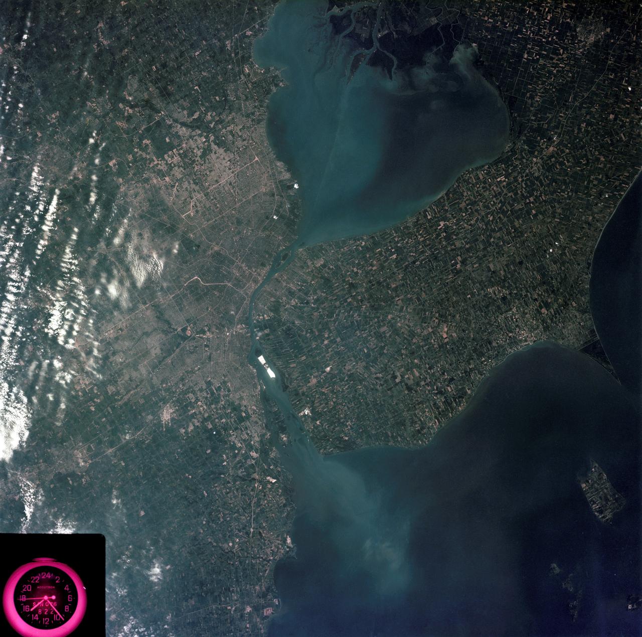
Detroit, Michigan metropolitan area photographed from Skylab
1973-08-05 · NASA Image and Video Library
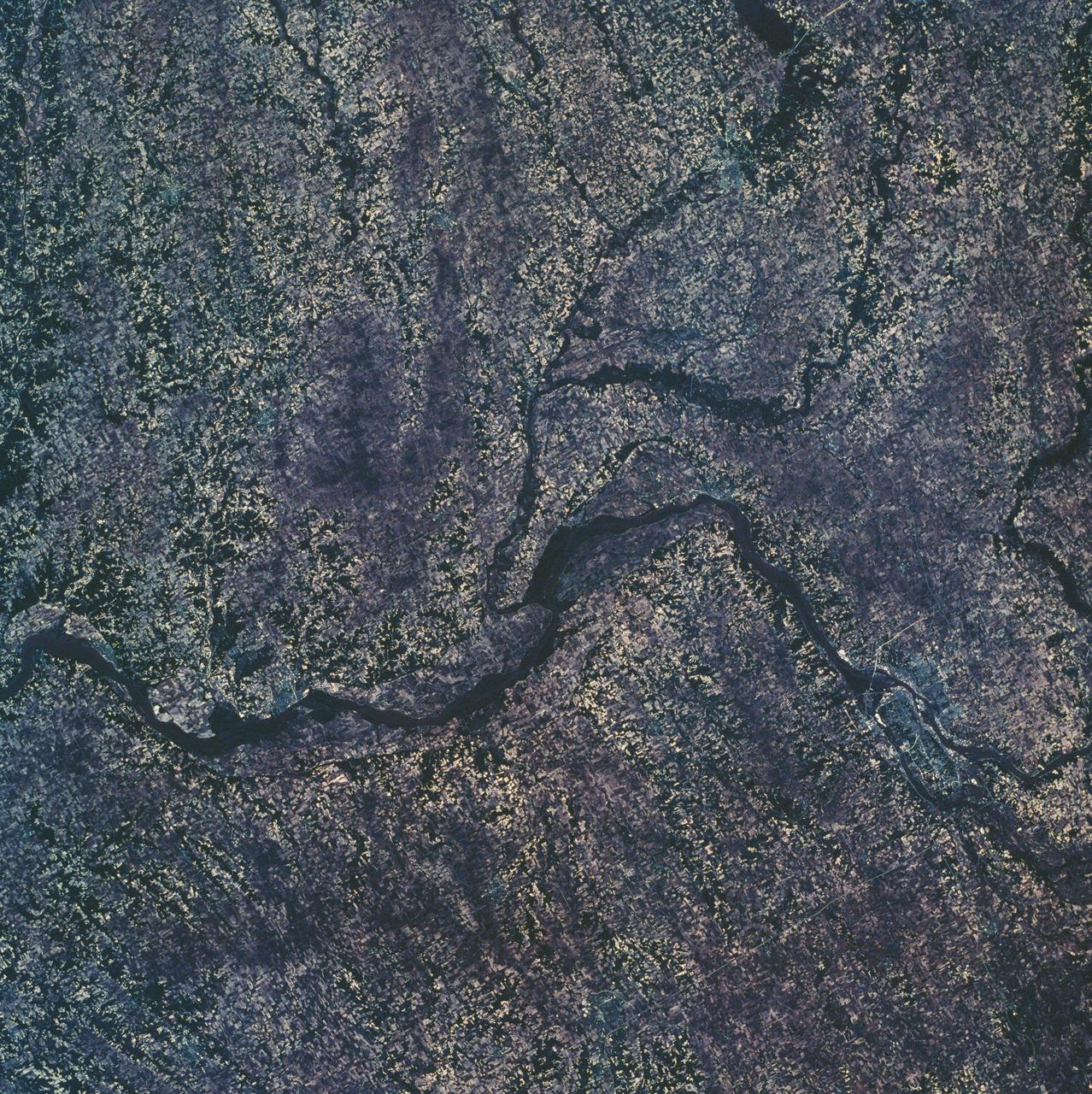
Eastern Iowa, Northwestern Illinois
1973-06-22 · NASA Image and Video Library
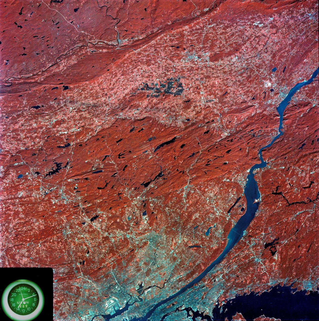
View of southeastern New York State
1973-08-15 · NASA Image and Video Library
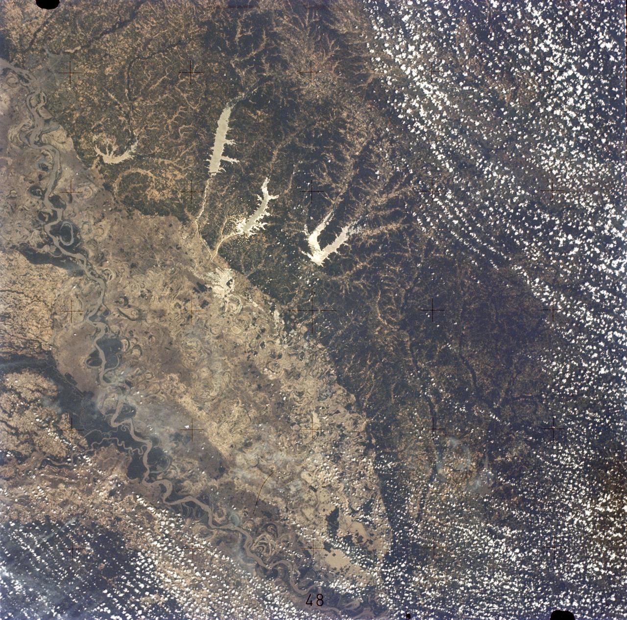
Mississippi River, Yazoo Basin, Memphis, TN
1973-06-22 · NASA Image and Video Library
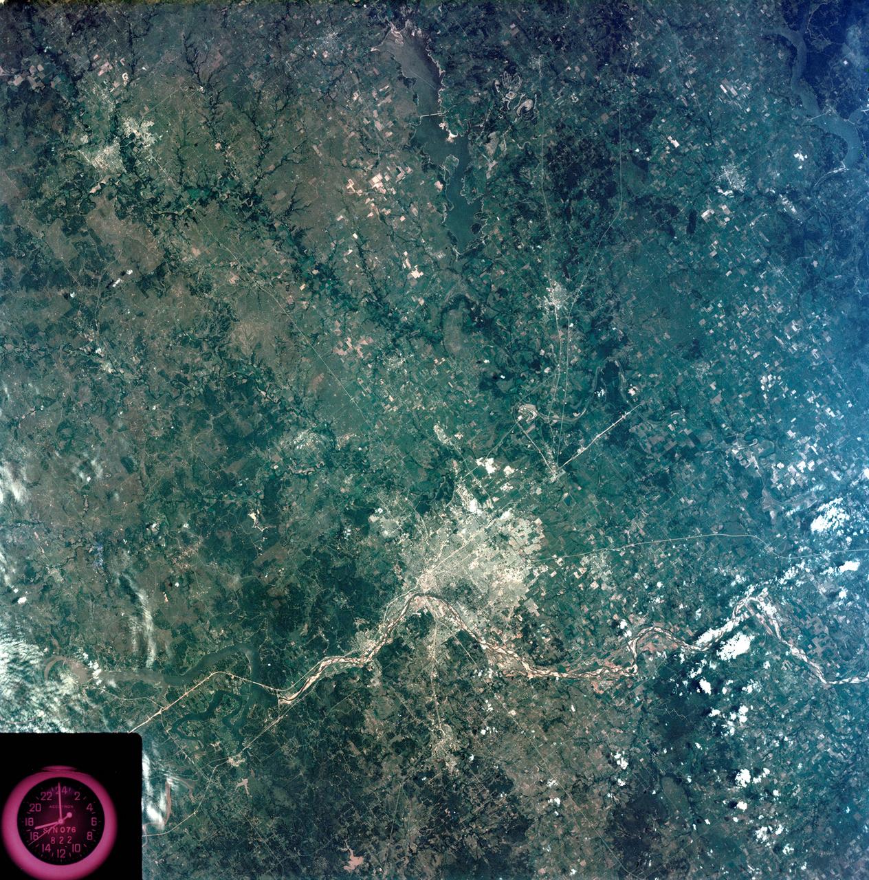
View - Northeast Oklahoma (OK) - Metropolitan Tulsa Area - OK
1973-08-15 · NASA Image and Video Library
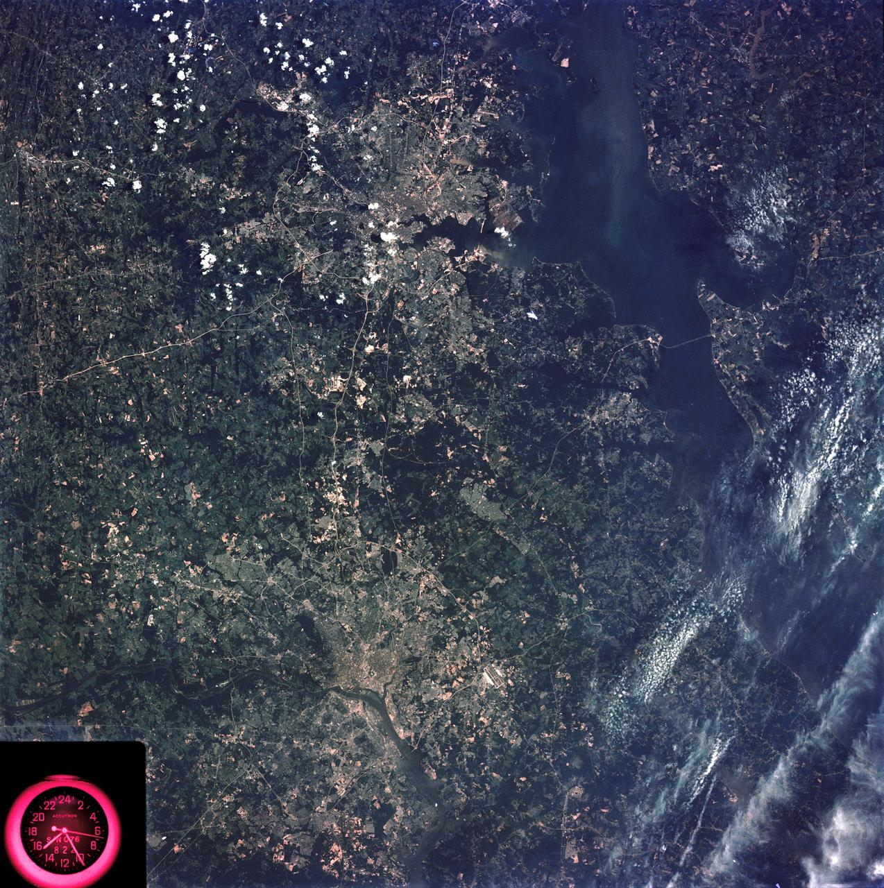
Washington, D.C. and the Baltimore, Maryland area
1973-08-15 · NASA Image and Video Library
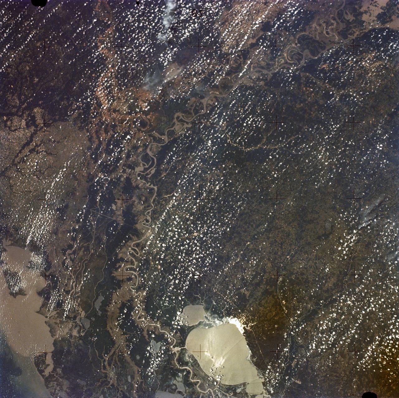
New Orleans, Louisiana, Mississippi River, and Lake Pontchartrain
1973-06-22 · NASA Image and Video Library
Birmingham and central Alabama area seen in Earth Resources Exp. Package
1974-02-01 · NASA Image and Video Library