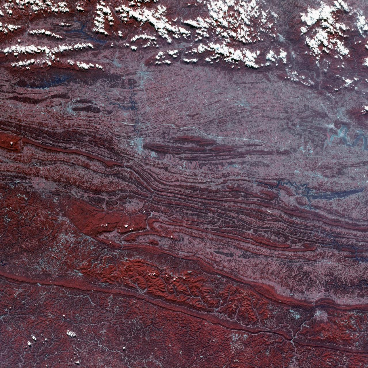
View of Virginia, Tennessee, Kentucky border area
SL3-45-020 (July-September 1973) --- A vertical view of the Virginia-Tennessee-Kentucky border area as photographed from Earth orbit by one of the six lenses of the Itek-furnished S190-A Multispectral Photographic Facility Experiment aboard the Skylab space station. This picture was taken with type 2443 infrared color film. The S190-A experiment is part of the Skylab Earth Resources Experiments Package. The long, narrow ridge is Pine Mountain; and it is crossed by U.S. 25E at Pineville near its southernmost end. Some 25 miles south of Pineville U.S. 25E passes through the famed Cumberland Gap which at 1,600 feet elevation crosses Cumberland Mountain. Kingsport, Tennessee is located east of Cumberland Gap near the center of the picture. Bristol, Tennessee-Virginia is further east. Greenville and Elizabethton, Tennessee can also be seen in this photograph. The clouds across the southeast edge of the picture are over the Blue Ridge Mountains. Federal agencies participating with NASA on the EREP project are the Departments of Agriculture, Commerce, Interior, the Environmental Protection Agency and the Corps of Engineers. All EREP photography is available to the public through the Depar
- Date
- 1973-08-30
- Collection
- JSC
- Archive
- NASA Image and Video Library
- Type
- photograph
Public domainsafest
Reason: a NASA work: not copyrighted in the United States.
Read from: NASA media usage guidelines: NASA material is not copyrighted in the US unless noted; no third-party credit or mark found.
Credit line
"View of Virginia, Tennessee, Kentucky border area" (1973-08-30). NASA/JSC. Public domain. https://images.nasa.gov/details/SL3-45-020Need photos for a whole script? Add Find Any Photo to Claude and ask for this one by its id: 15094.
More like this
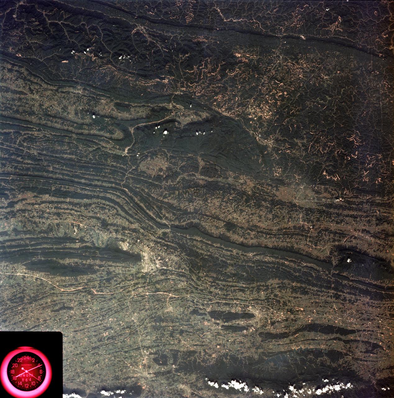
View of Tennessee, Virginia, Kentucky border area
1973-08-15 · NASA Image and Video Library
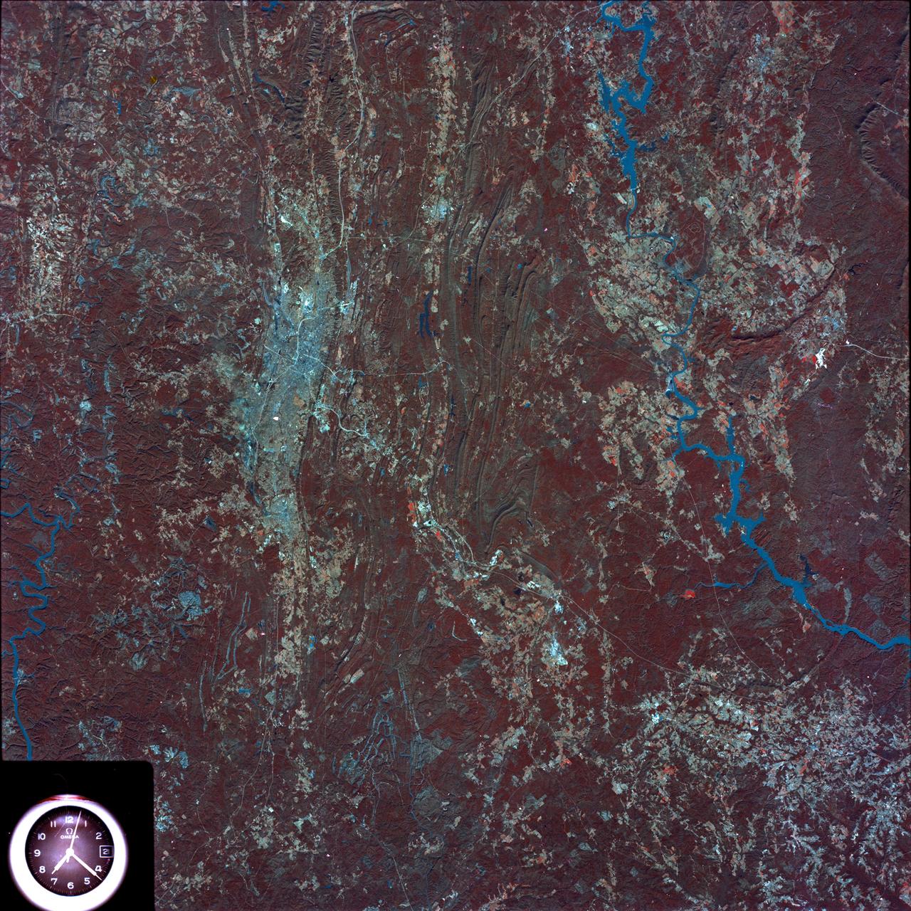
Birmingham and central Alabama area seen in Earth Resources Exp. Package
1974-02-01 · NASA Image and Video Library
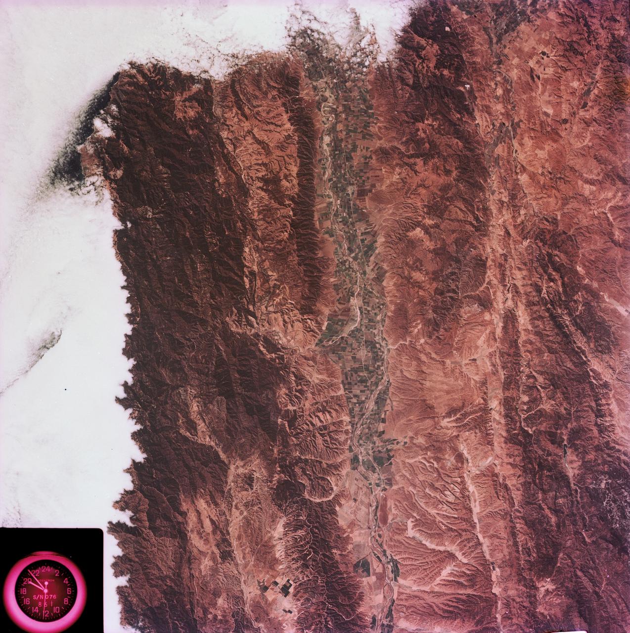
View of the Salinas River Valley area south of Monterey Bay, California
1973-08-15 · NASA Image and Video Library
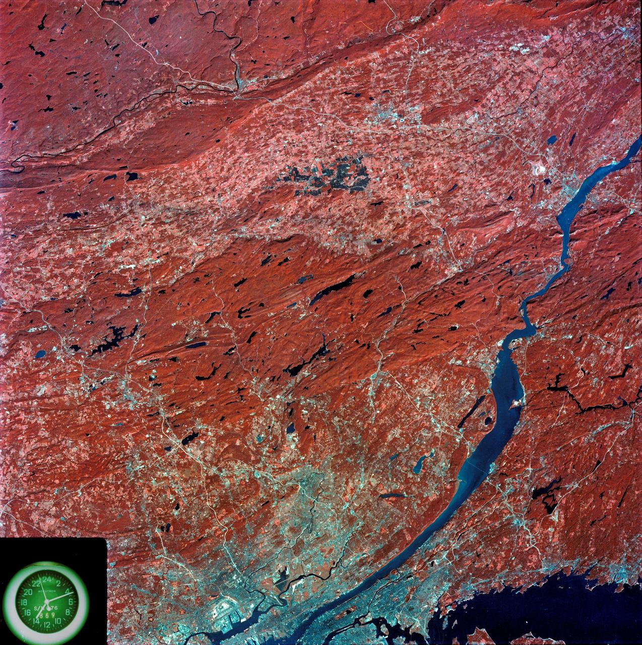
View of southeastern New York State
1973-08-15 · NASA Image and Video Library

View of southeastern Washington State
1973-08-30 · NASA Image and Video Library
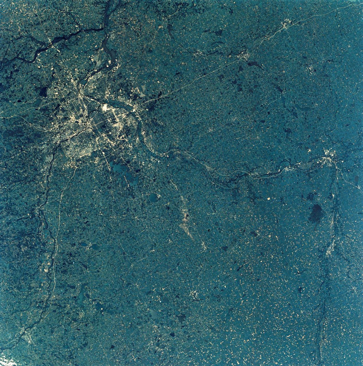
View of Minneapolis-St.Paul, Minnesota area
1973-08-30 · NASA Image and Video Library
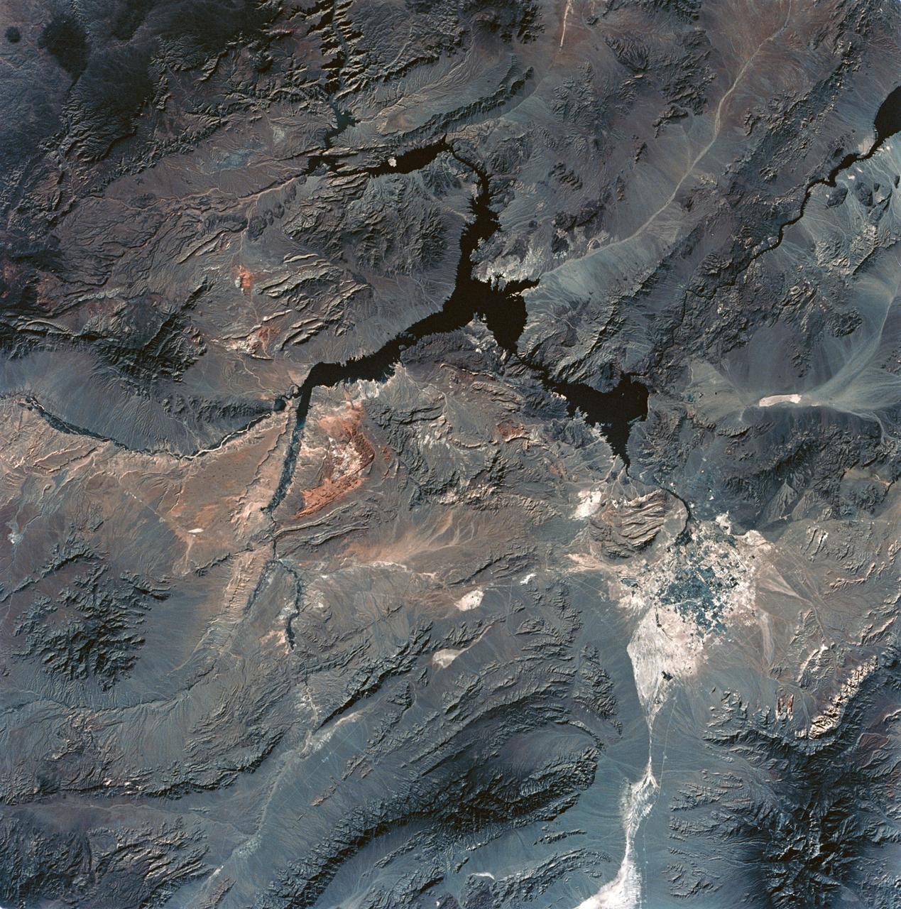
View of Lake Mead and Las Vegas, Nevada area from Sklyab
1973-08-01 · NASA Image and Video Library
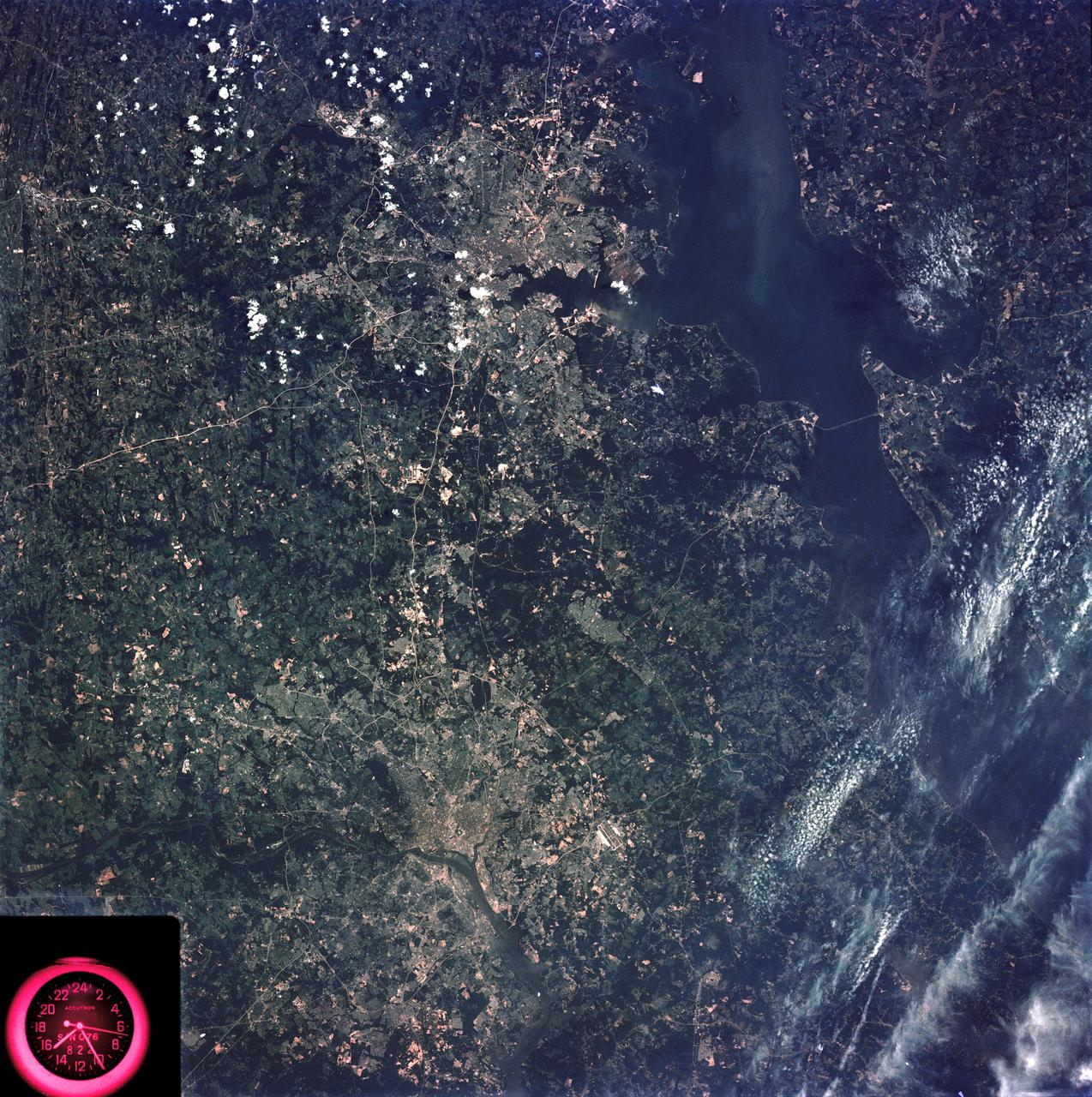
Washington, D.C. and the Baltimore, Maryland area
1973-08-15 · NASA Image and Video Library