
Cape Province, South Africa as seen from STS-58
STS058-77-083 (18 Oct-1 Nov 1993) --- In this scene of the south coast of Africa, Cape Agulhas, the southernmost point on the continent, appears as the leftmost cape. Viewed with the Earth's limb top left, clouds at bottom, the view direction is west and north top right. The Cape of Good Hope, with Cape Town nearby, is the thin spike beyond. The great bay in the foreground is Algoa Bay with the city of Port Elizabeth. This was the first time European voyagers are known to have rounded the Cape of Good Hope in their quest to reach India by sea. The entire fold mountain belt of southern Africa is visible: these mountains appear as green (forested) wavy structures stretching west form the foreground, to the Cape of Good Hope, and then northwards some distance. One theory about their origin is that the Falkland Plateau, now an undersea extension of South America, was jostled up against Africa more than 150 million years ago, in times before the Atlantic Ocean existed, before Africa and South America drifted apart from one another. The jostling caused the evolution of the fold mountain belt.
- Date
- 1993-10-30
- Collection
- JSC
- Archive
- NASA Image and Video Library
- Type
- photograph
Public domainsafest
Reason: a NASA work: not copyrighted in the United States.
Read from: NASA media usage guidelines: NASA material is not copyrighted in the US unless noted; no third-party credit or mark found.
Credit line
"Cape Province, South Africa as seen from STS-58" (1993-10-30). NASA/JSC. Public domain. https://images.nasa.gov/details/sts058-77-083Need photos for a whole script? Add Find Any Photo to Claude and ask for this one by its id: 15073.
More like this
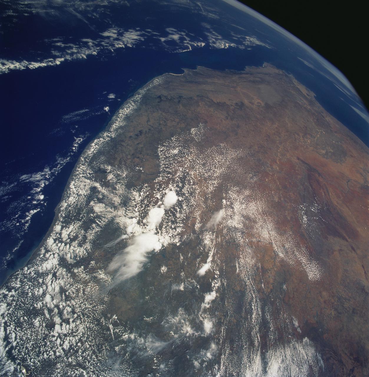
Southern Africa as seen from STS-61 Shuttle Endeavour
1993-12-09 · NASA Image and Video Library
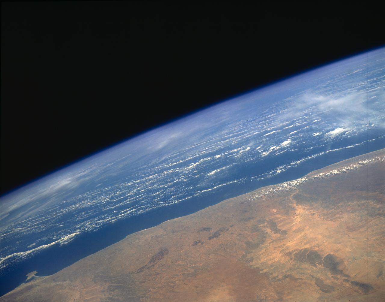
Arid Coastal Plain, Southern Somalia, Africa
1993-01-19 · NASA Image and Video Library
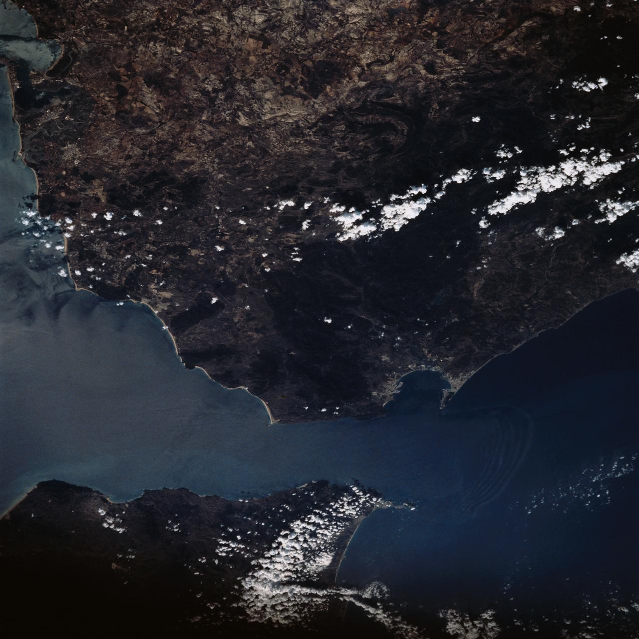
Strait of Gibraltar as seen from STS-58
1993-10-20 · NASA Image and Video Library

Strait of Gibraltar as seen from STS-60
1994-02-09 · NASA Image and Video Library
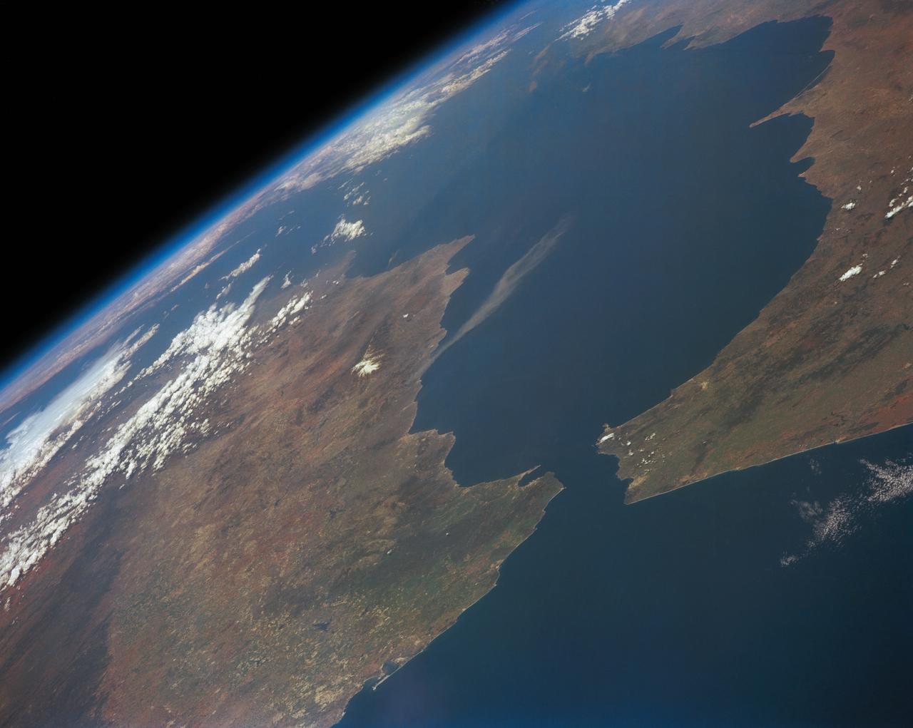
Strait of Gibraltar
1991-05-06 · NASA Image and Video Library
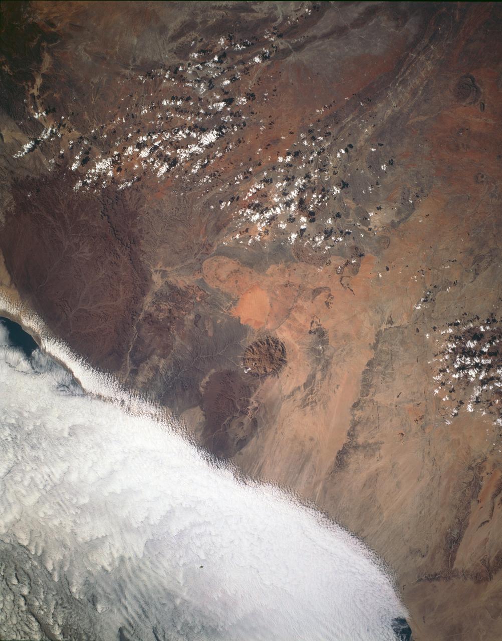
Brandburg Prominance, Namibia, Africa
1993-01-19 · NASA Image and Video Library
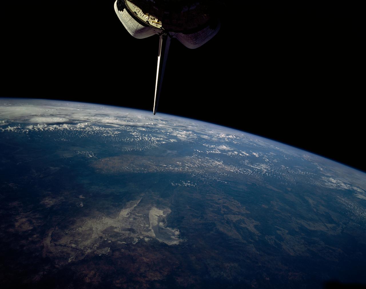
Makgadikgadi Salt Pan, Botswana, Africa
1992-01-19 · NASA Image and Video Library
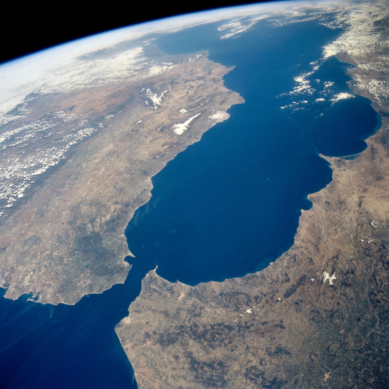
Earth observations taken during the STS-59 mission
1994-04-17 · NASA Image and Video Library