Death Valley, California
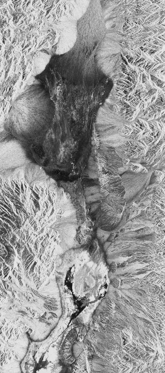
STS059-S-026 (11 April 1994) --- This is an image of Death Valley, California, centered at 36.629 degrees north latitude, 117.069 degrees west longitude. The image shows Furnace Creek alluvial fan and Furnace Creek Ranch at the far right, and the sand dunes near Stove Pipe Wells at the center. The dark fork-shaped feature between Furnace Creek fan and the dunes is a smooth flood-plain which encloses Cottonball Basin. The SIR-C/X-SAR supersite is an area of extensive field investigations and has been visited by both Space Radar Lab astronaut crews. Elevations in the Valley range from 70 meters below sea level, the lowest in the United States, to more than 3300 meters above sea level. Scientists are using SIR-C/X-SAR data from Death Valley to help answer a number of different questions about the Earth's geology. One question concerns how alluvial fans are formed and change through time under the influence of climatic changes and earthquakes. Alluvial fans are gravel deposits that wash down from the mountains over time. They are visible in the image as circular, fan-shaped bright areas extending into the darker valley floor from the mountains. Information about the alluvial fans help
- Date
- 1994-04-11
- Collection
- JSC
- Archive
- NASA Image and Video Library
- Type
- photograph
Public domainsafest
Reason: a NASA work: not copyrighted in the United States.
Read from: NASA media usage guidelines: NASA material is not copyrighted in the US unless noted; no third-party credit or mark found.
Credit line
"Death Valley, California" (1994-04-11). NASA/JSC. Public domain. https://images.nasa.gov/details/sts059-s-026Need photos for a whole script? Add Find Any Photo to Claude and ask for this one by its id: 15026.
More like this
Death Valley California as seen from STS-59
1994-04-13 · NASA Image and Video Library
Sierra Nevada, California as seen from STS-59
1994-04-14 · NASA Image and Video Library
White Sands, New Mexico as seen from STS-60
1994-02-09 · NASA Image and Video Library
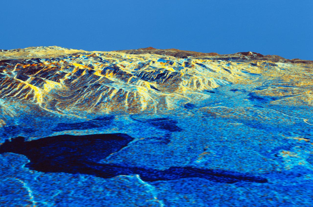
Three dimensional perspective view of Mammoth Mountain, California
1994-04-17 · NASA Image and Video Library
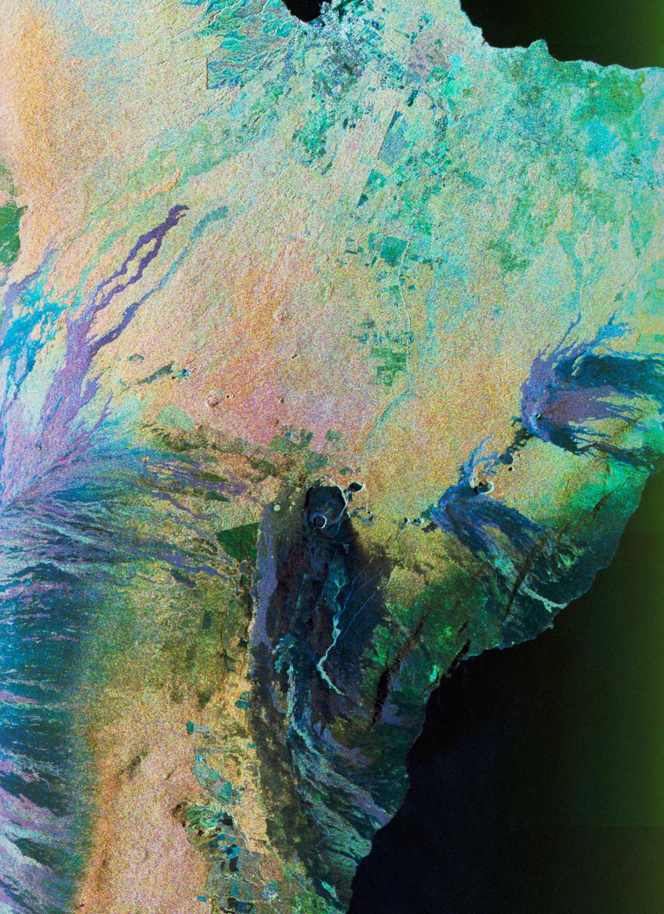
Color composite C-band and L-band image of Kilauea volcanoe on Hawaii
1994-04-15 · NASA Image and Video Library

Mojave Desert, California
1981-04-14 · NASA Image and Video Library
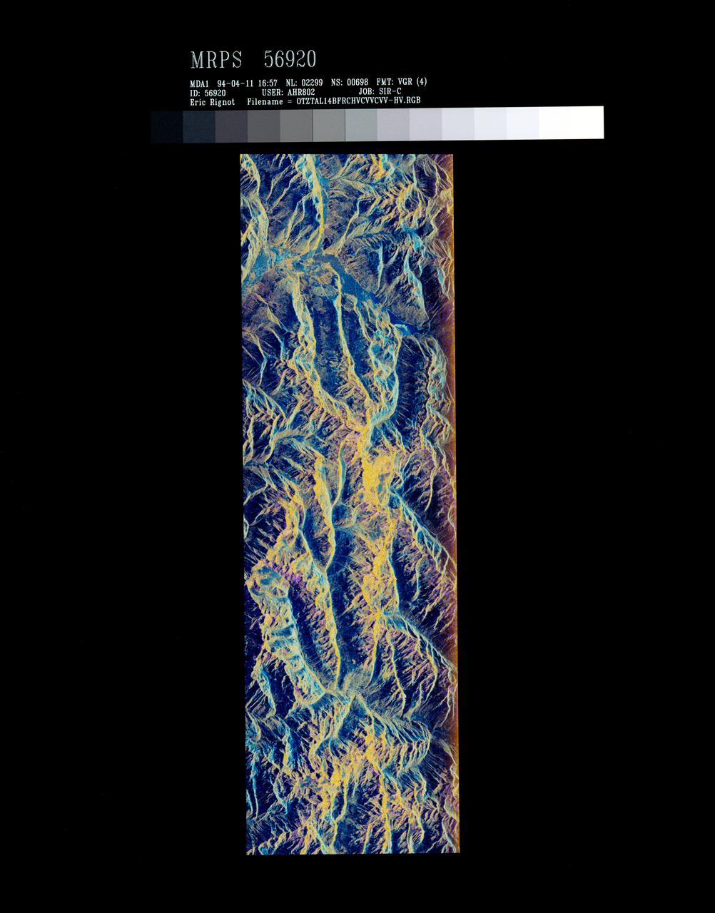
False-color composite of Oetztal, Austria
1994-04-13 · NASA Image and Video Library
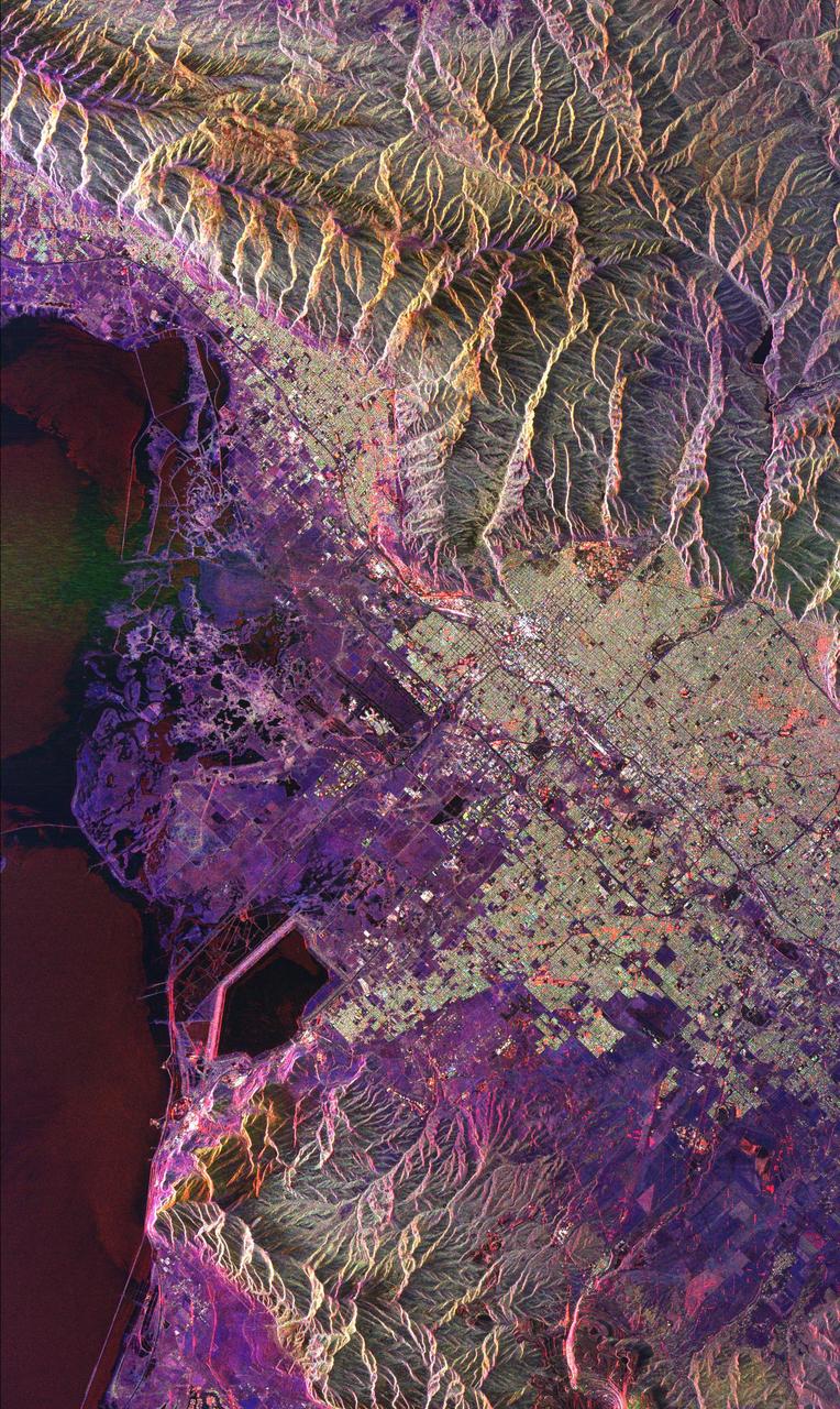
Space Radar Image of Salt Lake City, Utah
1999-04-15 · NASA Image and Video Library