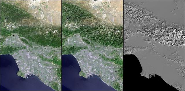
Landsat - SRTM Shaded Relief Comparison, Los Angeles and Vicinity
Digital elevation models DEMs, such as those produced by NASA Shuttle Radar Topography Mission SRTM, allow user-controlled visualization of the Earth landforms that is not possible using satellite imagery alone.
- Date
- 2002-11-08
- Photographer / author
- NASA/JPL
- Collection
- JPL
- Archive
- NASA Image and Video Library
- Type
- photograph
Public domainsafest
Reason: a NASA work: not copyrighted in the United States.
Read from: NASA media usage guidelines: NASA material is not copyrighted in the US unless noted; no third-party credit or mark found.
Credit line
"Landsat - SRTM Shaded Relief Comparison, Los Angeles and Vicinity" (2002-11-08). NASA/JPL/NASA/JPL. Public domain. https://images.nasa.gov/details/PIA03373Need photos for a whole script? Add Find Any Photo to Claude and ask for this one by its id: 24752.
More like this
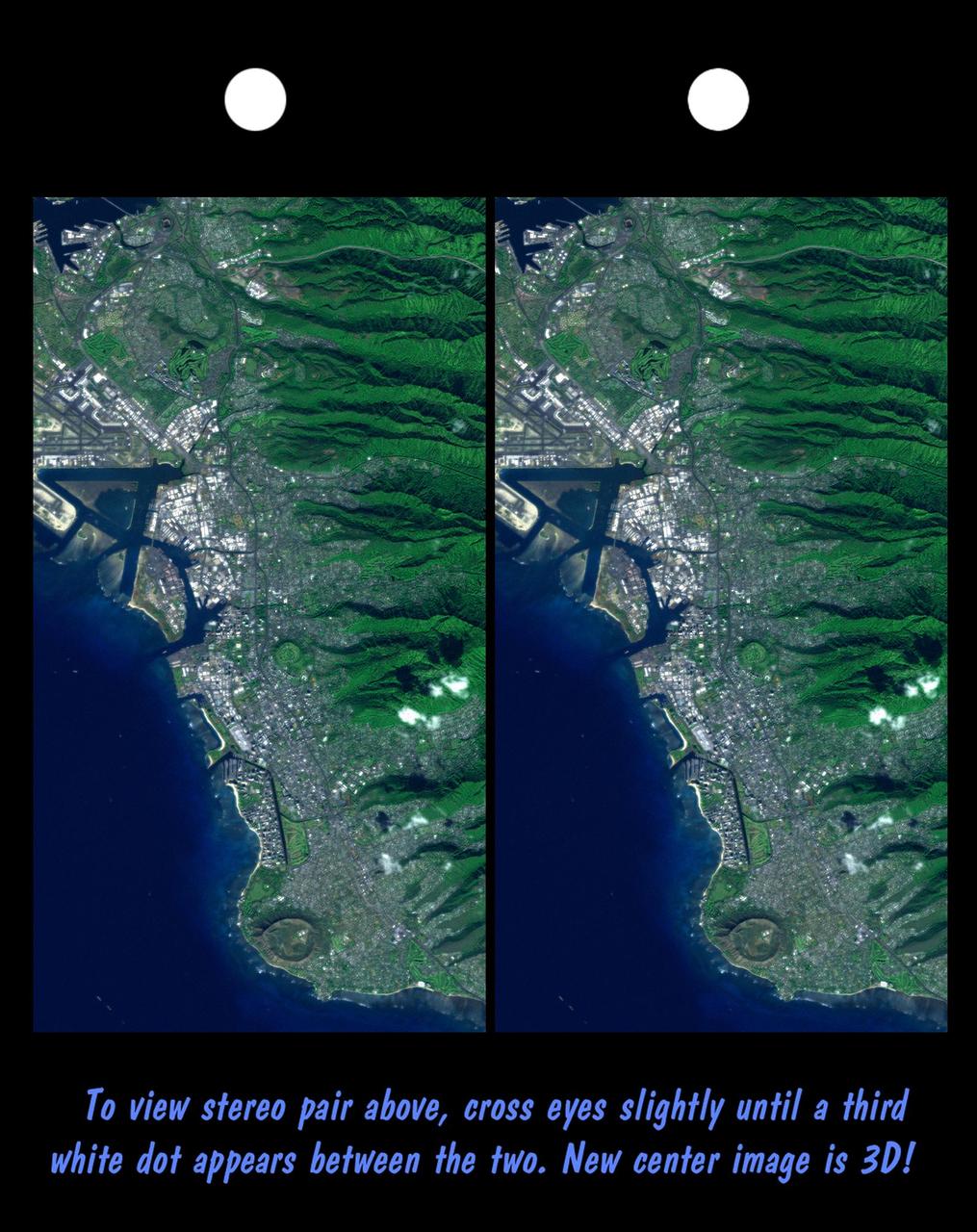
Stereo Pair, Honolulu, Oahu
2000-03-10 · NASA Image and Video Library
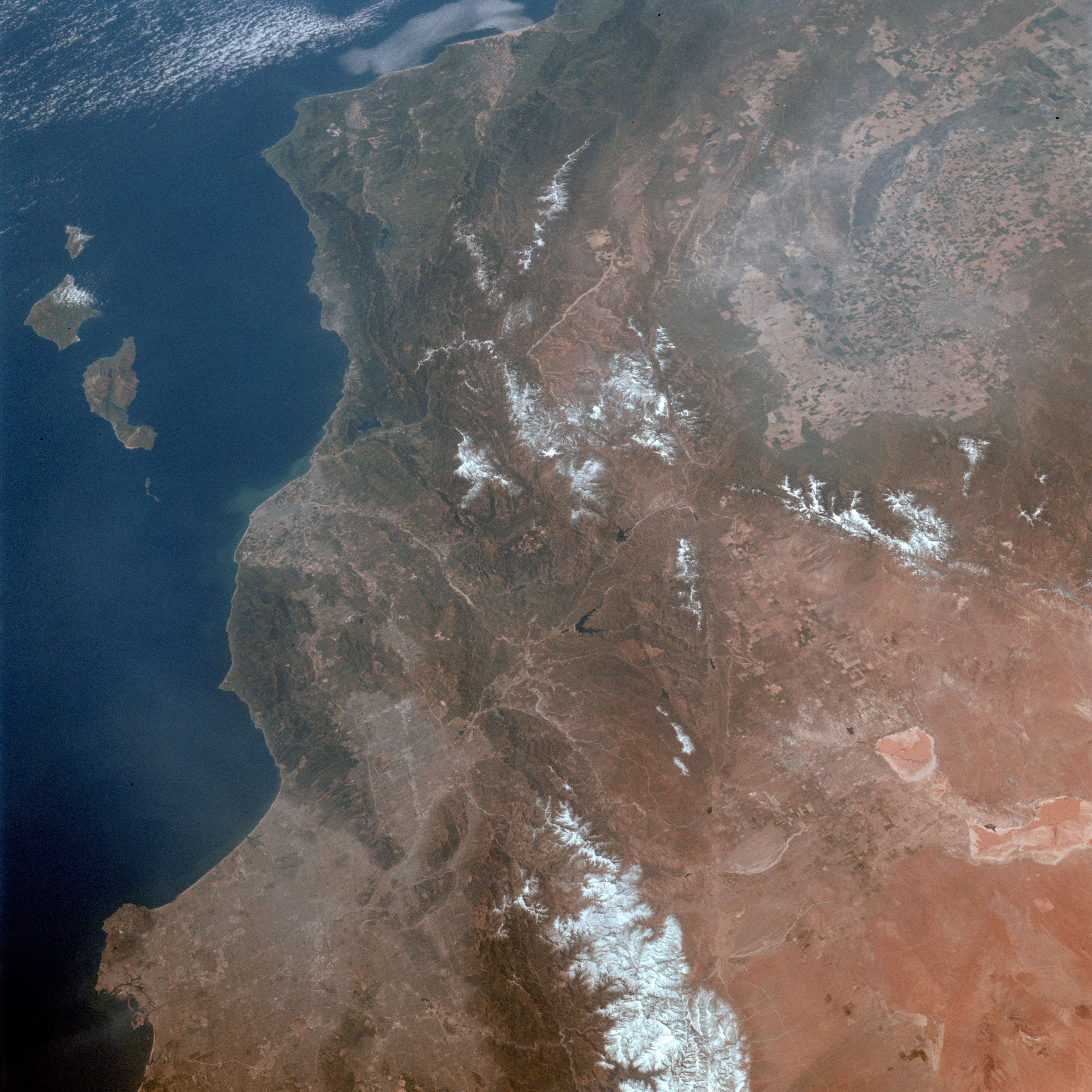
Los Angeles, CA.
1992-03-30 · NASA Image and Video Library
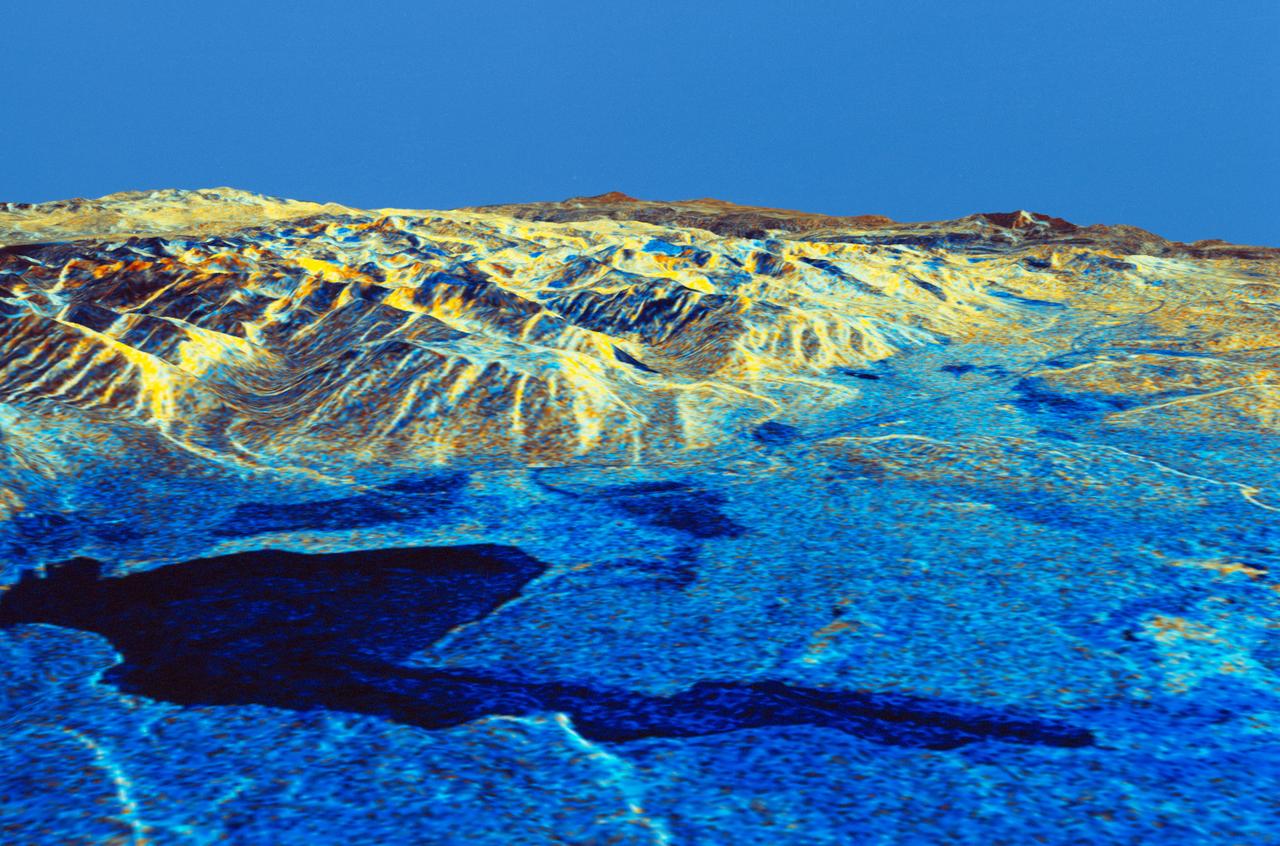
Three dimensional perspective view of Mammoth Mountain, California
1994-04-17 · NASA Image and Video Library
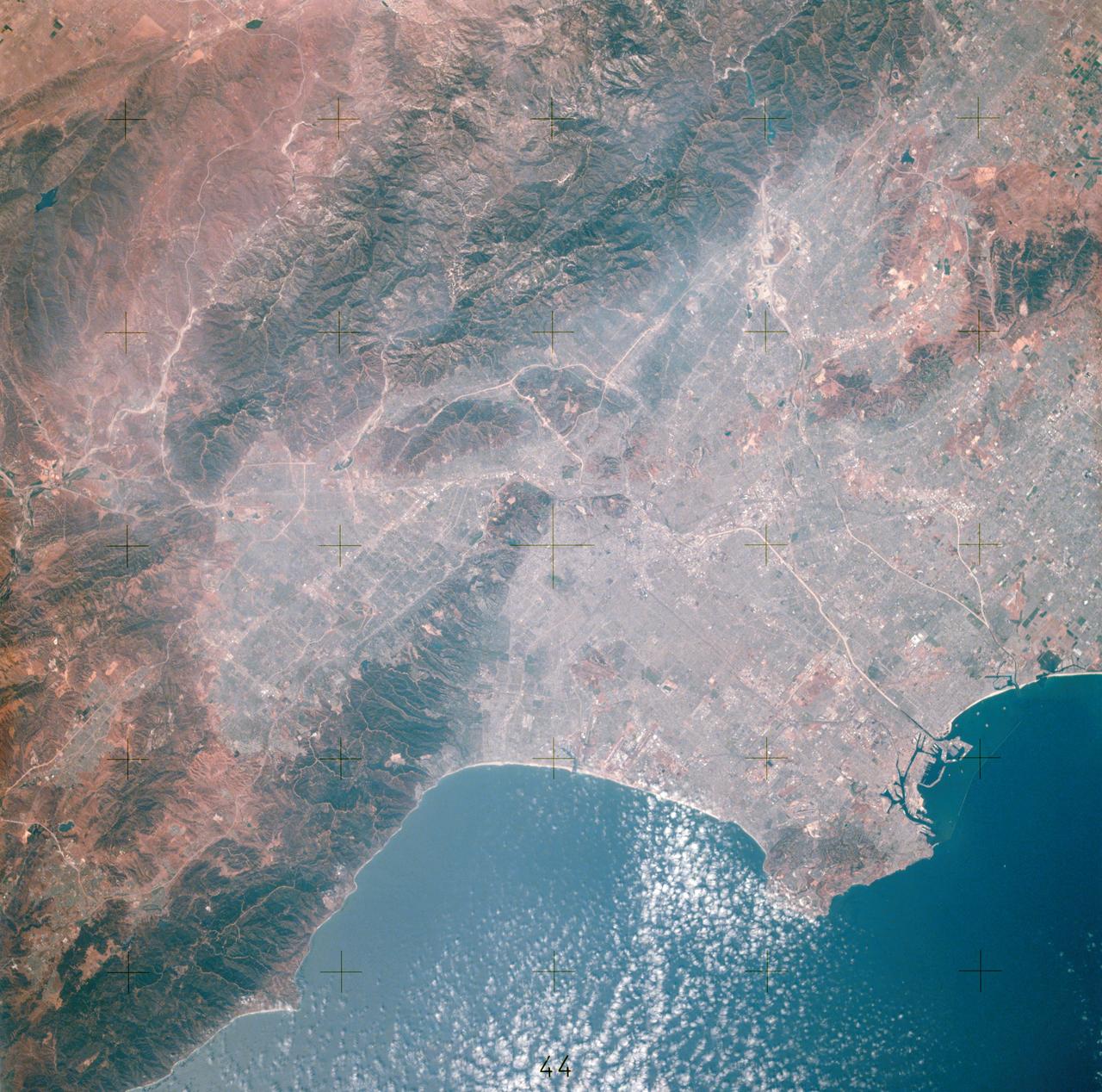
View of Los Angeles, California area
1975-07-16 · NASA Image and Video Library
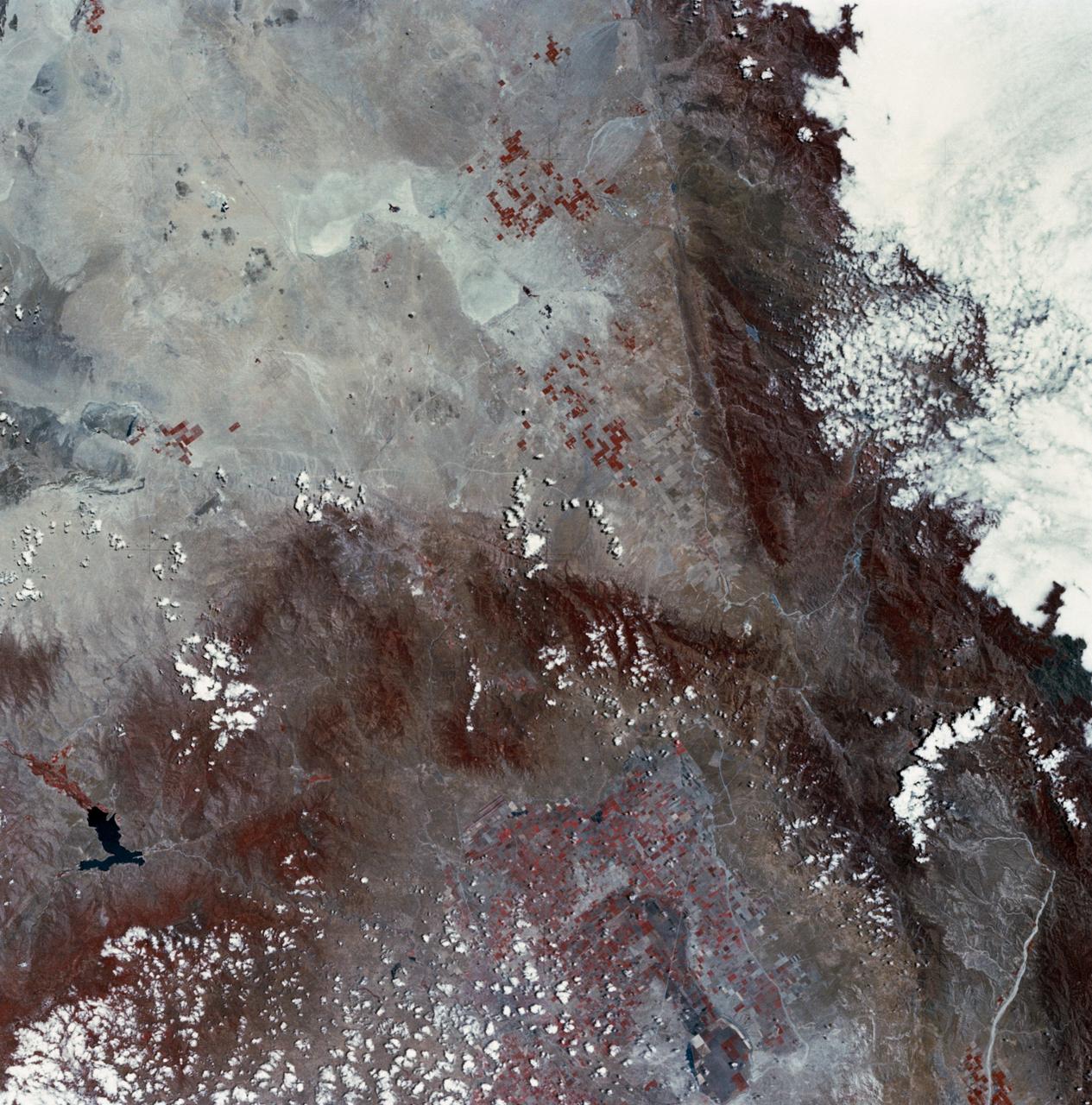
Mojave Desert, California
1973-06-22 · NASA Image and Video Library
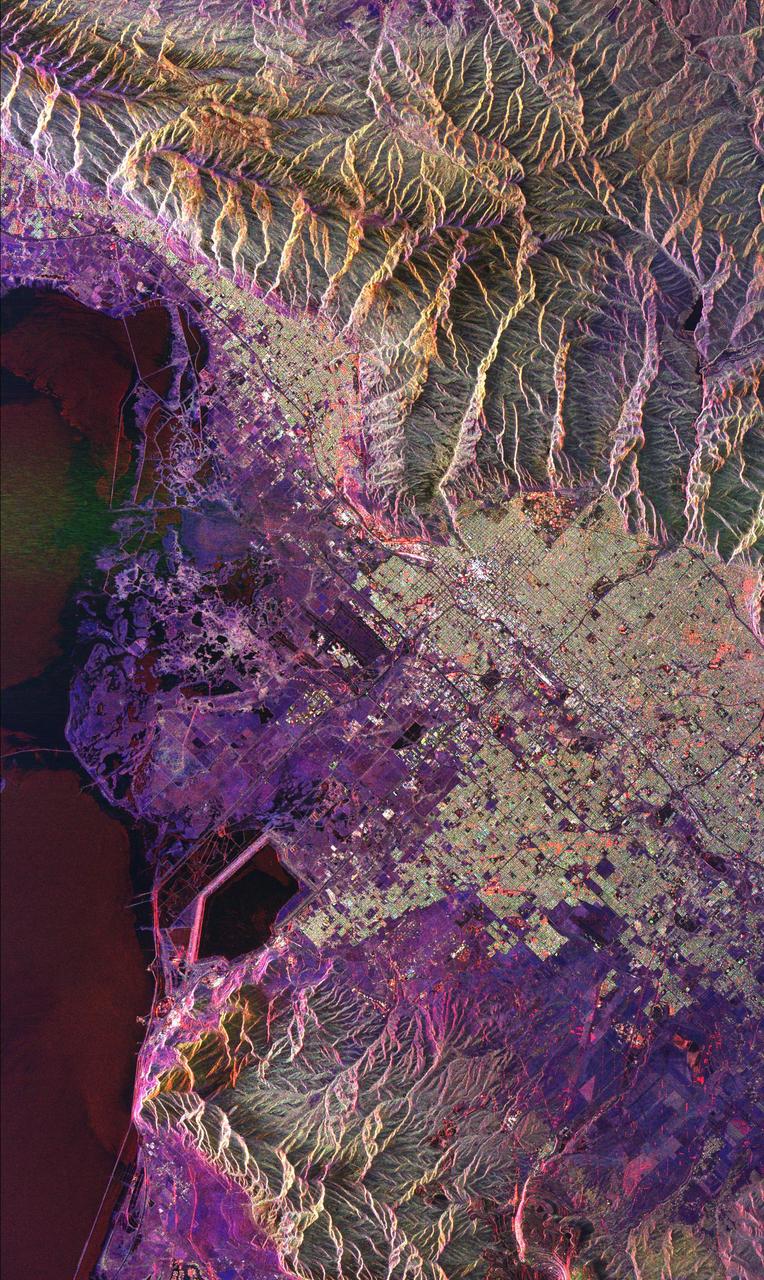
Space Radar Image of Salt Lake City, Utah
1999-04-15 · NASA Image and Video Library
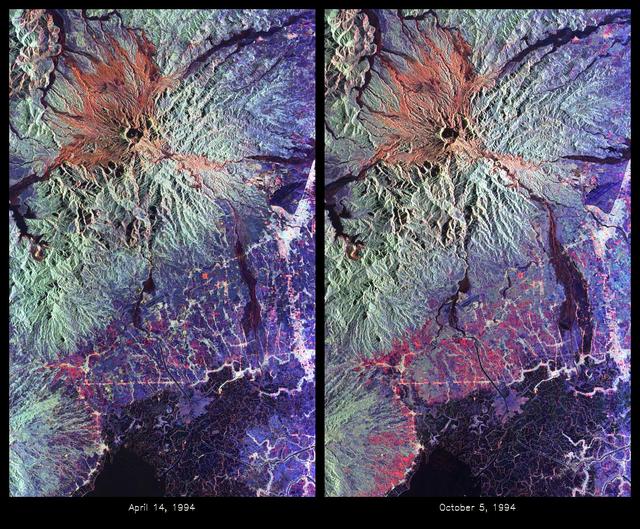
Space Radar Image of Mount Pinatubo Volcano, Philippines
1999-05-01 · NASA Image and Video Library
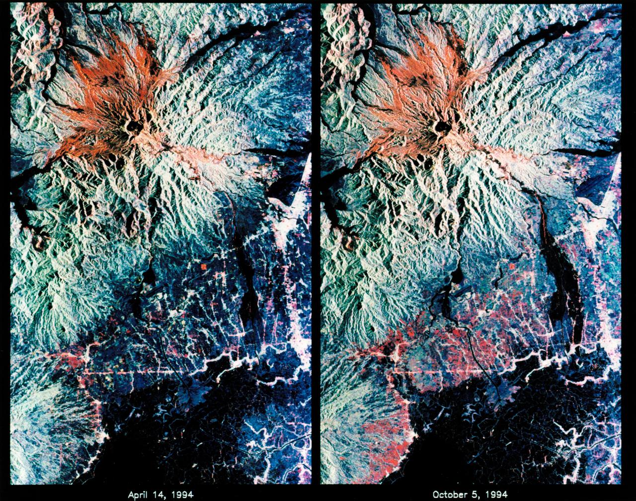
STS-68 radar image: Mt. Pinatubo, Philippines
1994-10-07 · NASA Image and Video Library