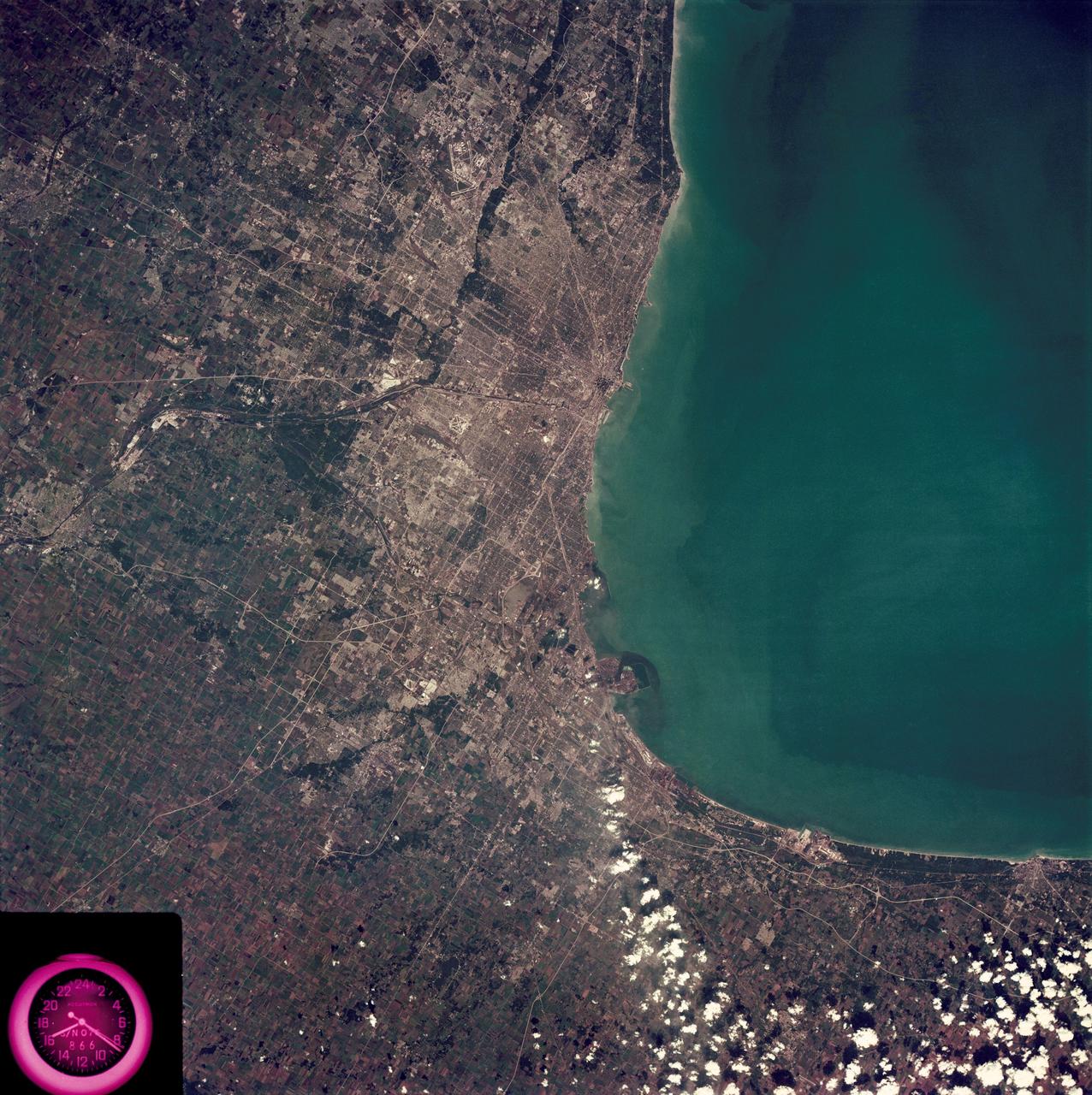
Metropolitan area of Chicago
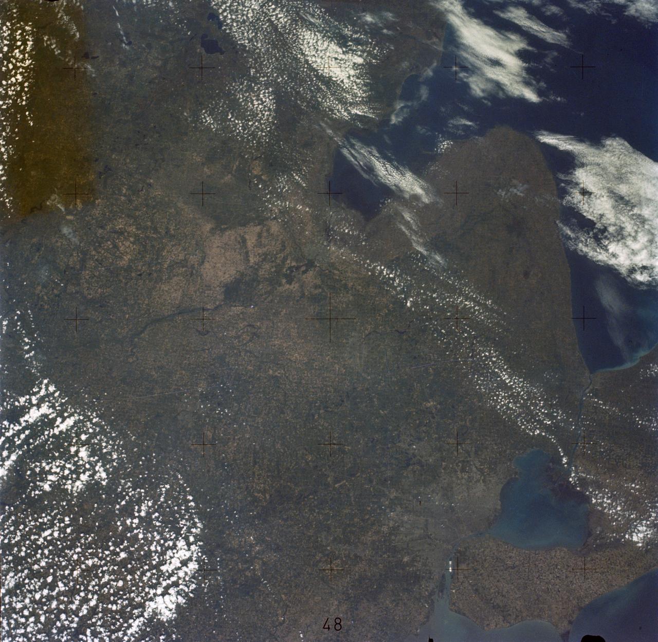
SL3-88-222 (18 Sept. 1973) --- The metropolitan area of Chicago is encompassed in this Skylab 3 Earth Resources Experiments Package (EREP) S190-B photograph taken on Sept. 18, 1973 from the Skylab space station cluster in Earth orbit. The surrounding major cities of Aurora and Joliet, Illinois; Hammond, Gary and East Chicago, Indiana, are easily delineated. The photograph reveals the following: (1) Cultural differentiation of commercial, industrial and residential areas for use in population and social studies in micro-macro community planning and in cultural pattern studies in the improvement of urban areas. (Aurora is one of 27 census cities of interest to Robert Alexander, a principal investigator. Alexander is with the U.S. Geological Survey). (2) The transportation network with major corridors and their interchanges, primary and feeder streets for use in network analysis and in the development of models for population movement and land use projection. (3) The agricultural lands for land use identification on crop inventory analysis; airports for use in delineation of service and infringement of major man-made features that affect ecosystem balance (support to environmental imp
- Date
- 1973-09-18
- Collection
- JSC
- Archive
- NASA Image and Video Library
- Type
- photograph
Public domainsafest
Reason: a NASA work: not copyrighted in the United States.
Read from: NASA media usage guidelines: NASA material is not copyrighted in the US unless noted; no third-party credit or mark found.
Credit line
"Metropolitan area of Chicago" (1973-09-18). NASA/JSC. Public domain. https://images.nasa.gov/details/SL3-88-0222Need photos for a whole script? Add Find Any Photo to Claude and ask for this one by its id: 13844.
More like this
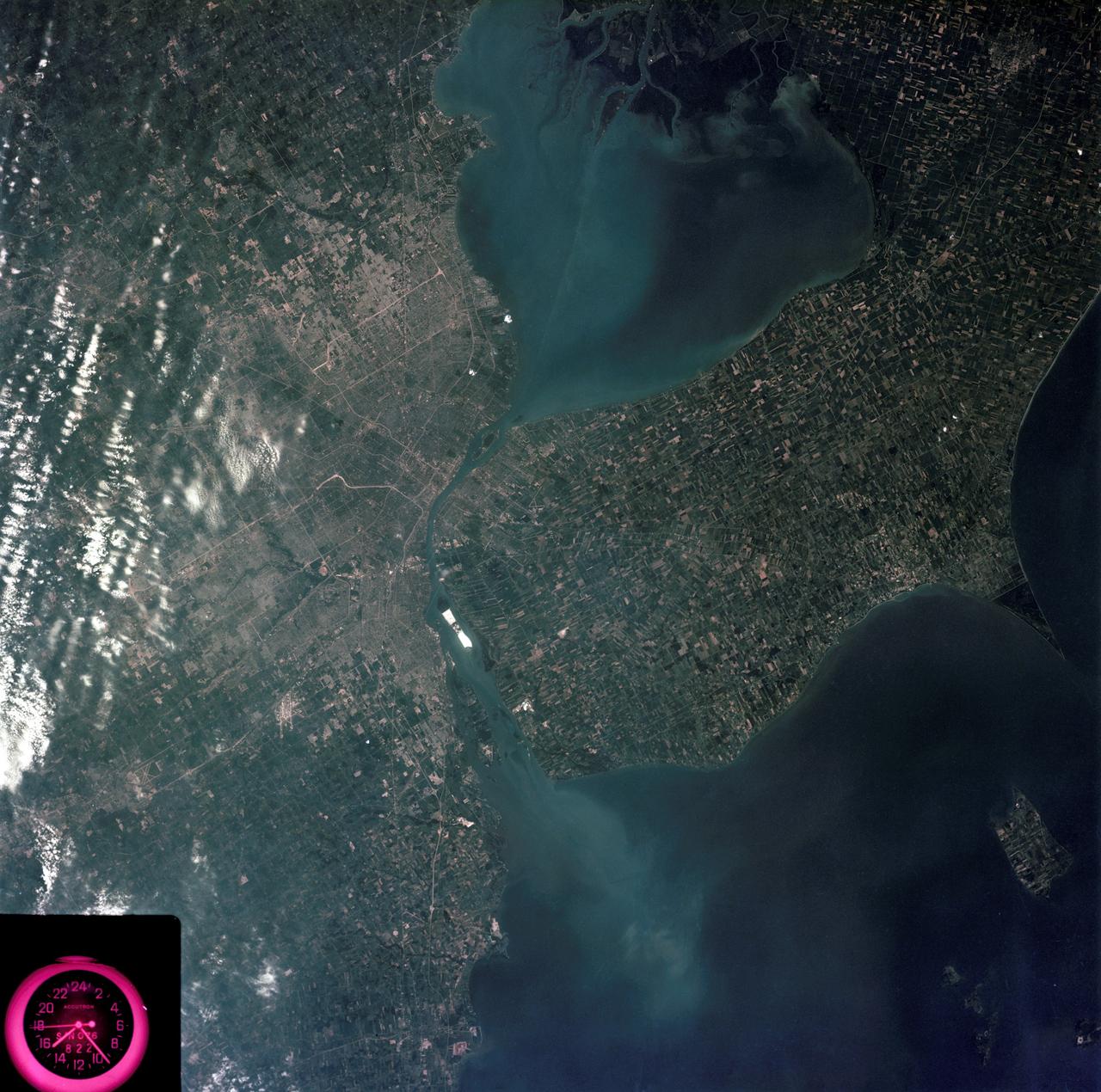
Detroit, Michigan metropolitan area photographed from Skylab
1973-08-05 · NASA Image and Video Library
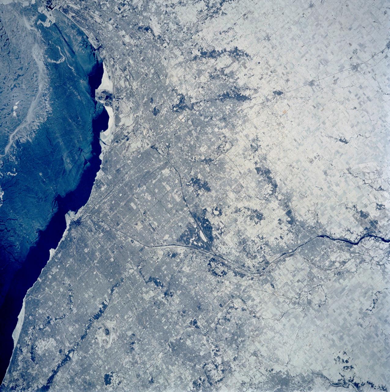
Chicago, Illinois as seen from STS-60
1994-02-09 · NASA Image and Video Library
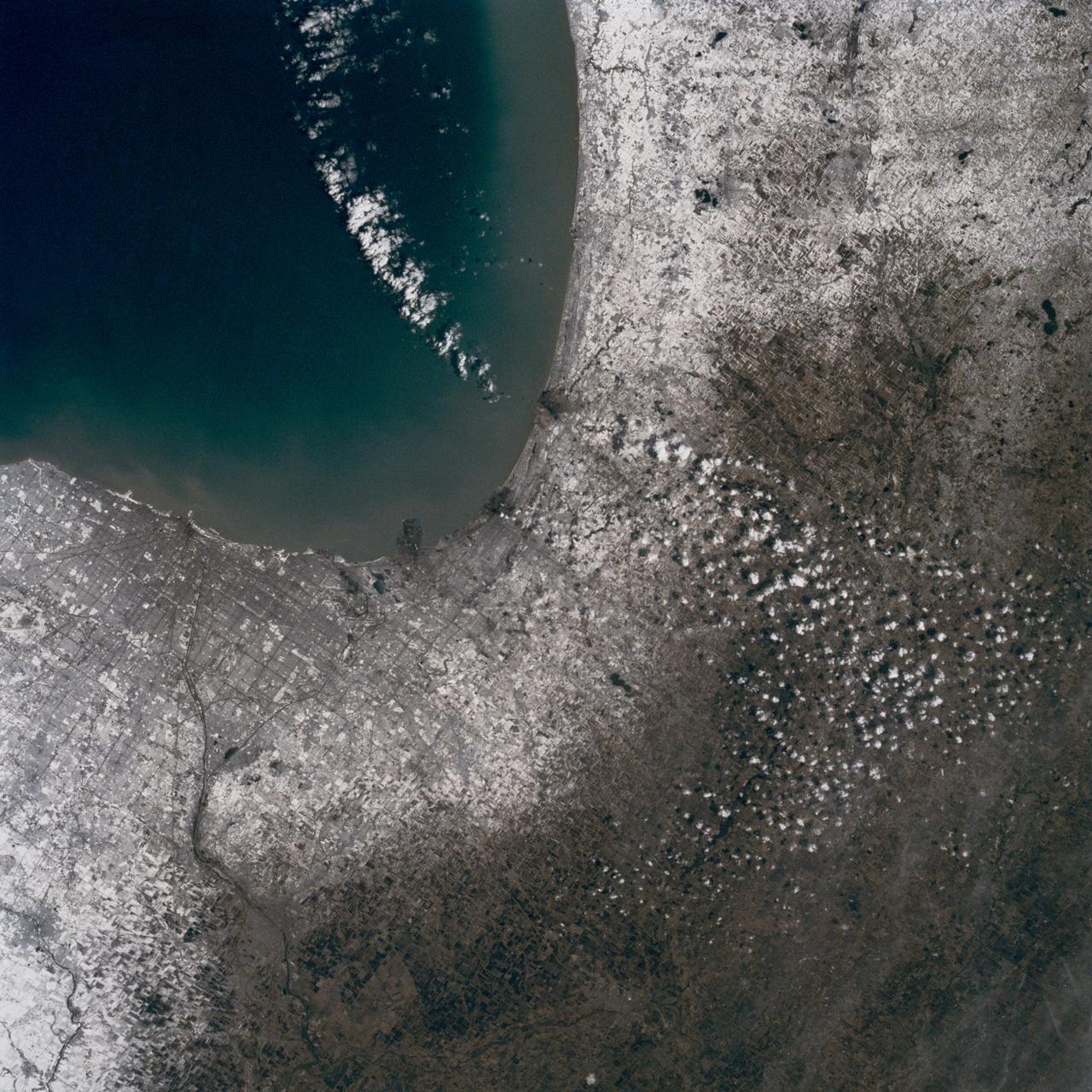
Chicago, Illinois, USA
1990-03-04 · NASA Image and Video Library
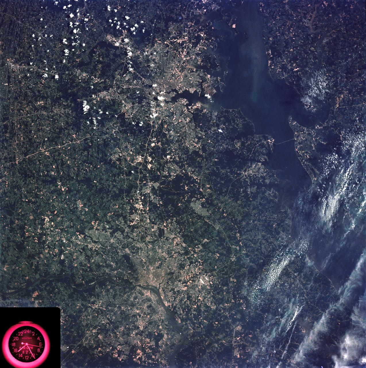
Washington, D.C. and the Baltimore, Maryland area
1973-08-15 · NASA Image and Video Library
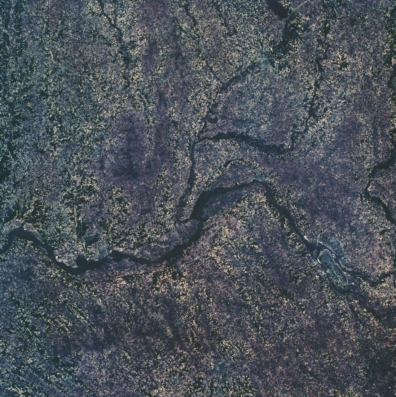
Eastern Iowa, Northwestern Illinois
1973-06-22 · NASA Image and Video Library
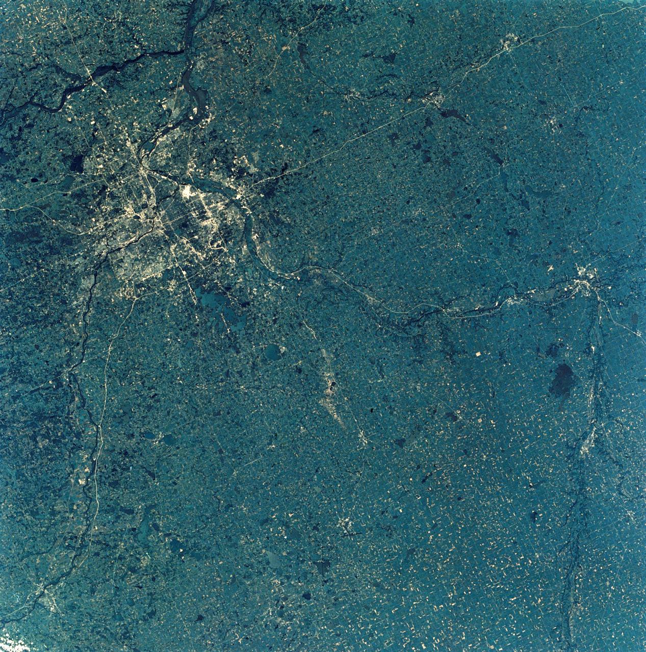
View of Minneapolis-St.Paul, Minnesota area
1973-08-30 · NASA Image and Video Library
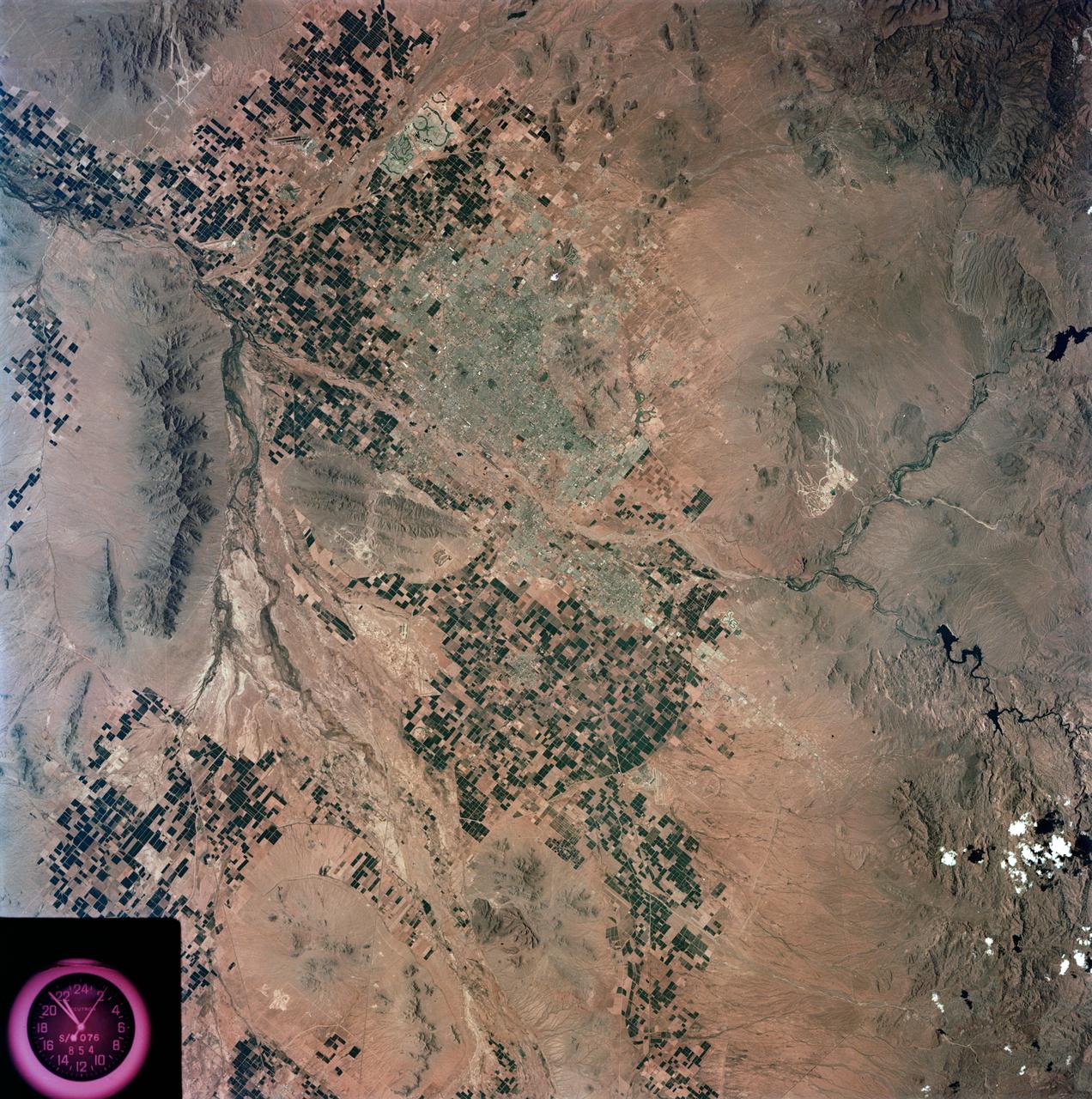
View - Phoenix, AZ - Metropolitan Area - AZ
1973-08-15 · NASA Image and Video Library
Detroit and the Lower Peninsula of Michigan
1973-06-22 · NASA Image and Video Library