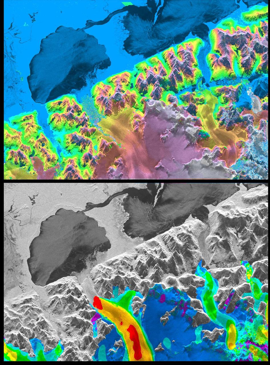
Space Radar Image of San Rafael Glacier, Chile
A NASA radar instrument has been successfully used to measure some of the fastest moving and most inaccessible glaciers in the world -- in Chile's huge, remote Patagonia ice fields -- demonstrating a technique that could produce more accurate predictions of glacial response to climate change and corresponding sea level changes. This image, produced with interferometric measurements made by the Spaceborne Imaging Radar-C and X-band Synthetic Aperture Radar (SIR-C/X-SAR) flown on the Space Shuttle last fall, has provided the first detailed measurements of the mass and motion of the San Rafael Glacier. Very few measurements have been made of the Patagonian ice fields, which are the world's largest mid-latitude ice masses and account for more than 60 percent of the Southern Hemisphere's glacial area outside of Antarctica. These features make the area essential for climatologists attempting to understand the response of glaciers on a global scale to changes in climate, but the region's inaccessibility and inhospitable climate have made it nearly impossible for scientists to study its glacial topography, meteorology and changes over time. Currently, topographic data exist for only a few
- Date
- 1999-04-15
- Photographer / author
- NASA/JPL
- Collection
- JPL
- Archive
- NASA Image and Video Library
- Type
- photograph
Public domainsafest
Reason: a NASA work: not copyrighted in the United States.
Read from: NASA media usage guidelines: NASA material is not copyrighted in the US unless noted; no third-party credit or mark found.
Credit line
"Space Radar Image of San Rafael Glacier, Chile" (1999-04-15). NASA/JPL/NASA/JPL. Public domain. https://images.nasa.gov/details/PIA01781Need photos for a whole script? Add Find Any Photo to Claude and ask for this one by its id: 91010.
More like this
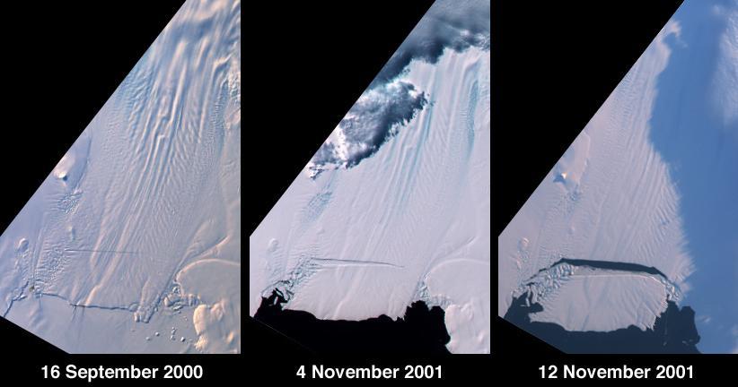
Birth of a Large Iceberg in Pine Island Bay, Antarctica
2001-11-14 · NASA Image and Video Library
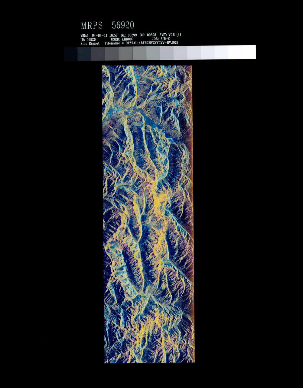
False-color composite of Oetztal, Austria
1994-04-13 · NASA Image and Video Library
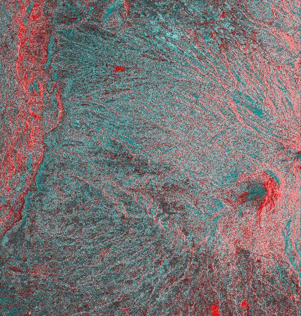
Space Radar Image of Colima Volcano, Jalisco, Mexico
1999-05-01 · NASA Image and Video Library
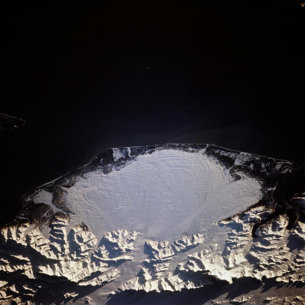
Malaspina Glacier, Alaska as seen from STS-66 Atlantis
1994-11-14 · NASA Image and Video Library
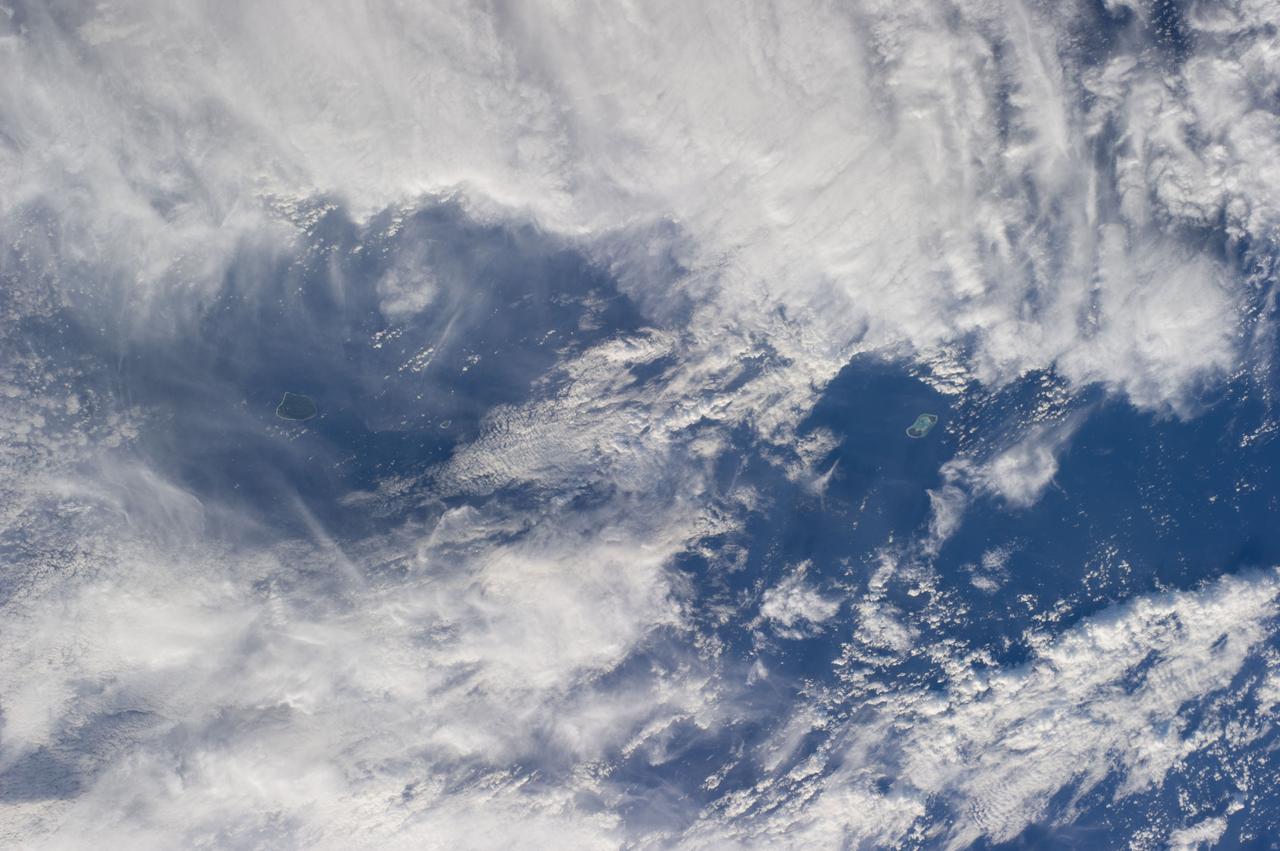
Earth Observation
2014-06-01 · NASA Image and Video Library
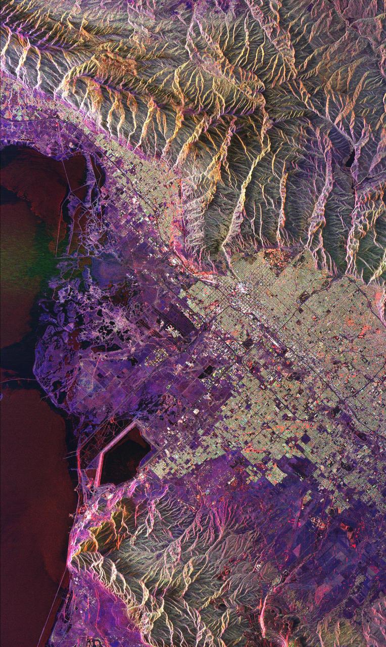
Space Radar Image of Salt Lake City, Utah
1999-04-15 · NASA Image and Video Library
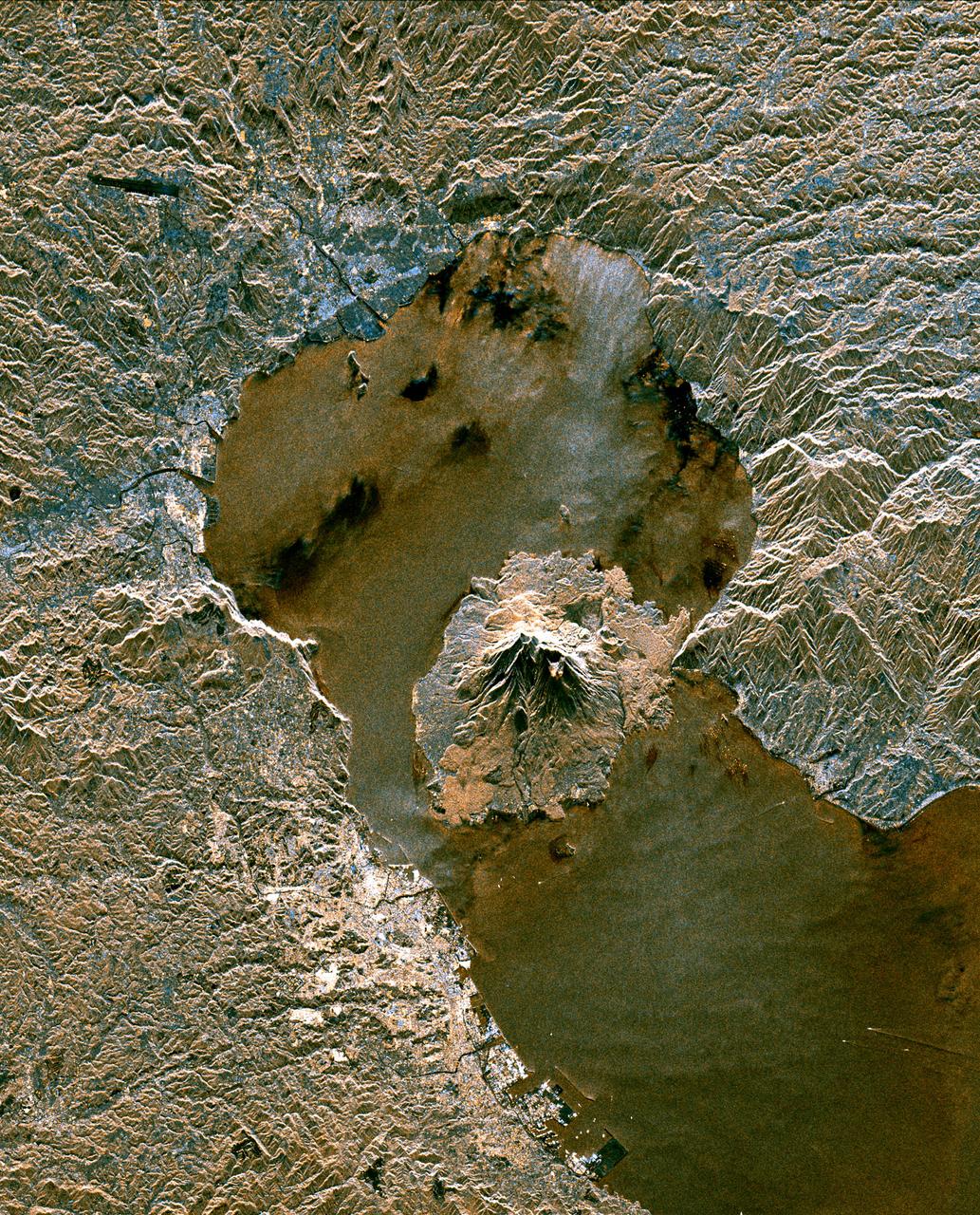
Space Radar Image of Sakura-Jima Volcano, Japan
1999-04-15 · NASA Image and Video Library
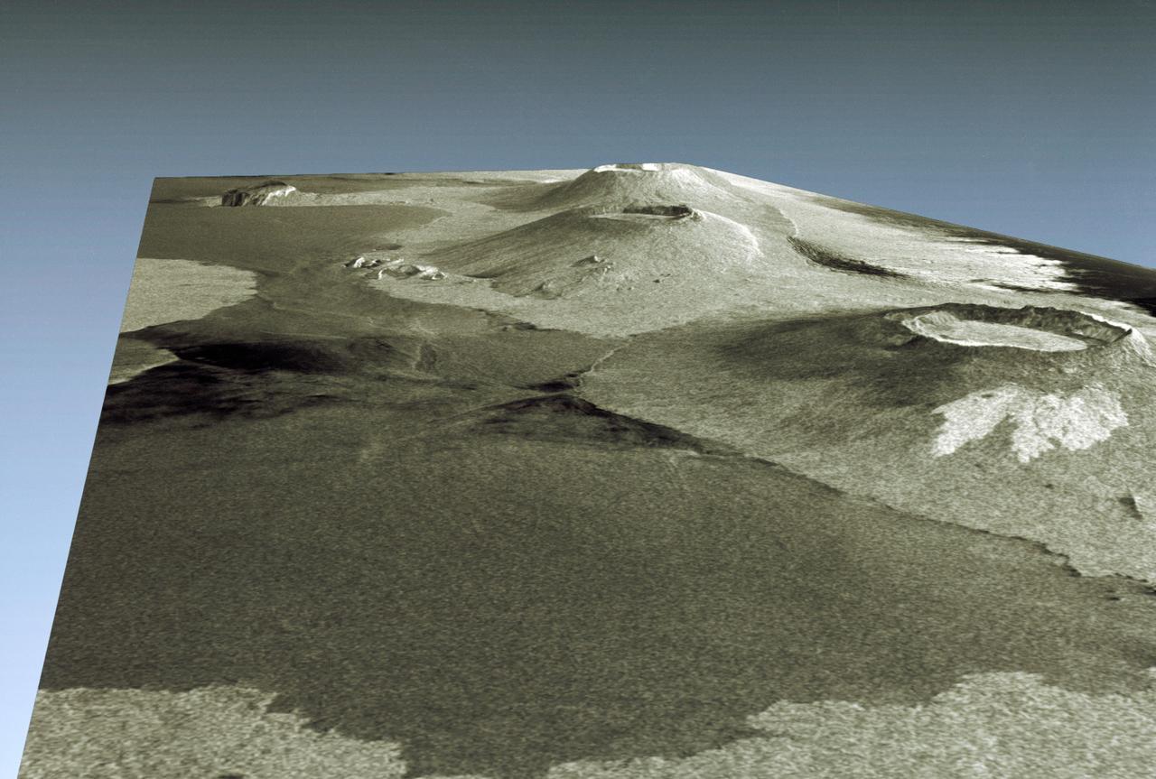
Three dimensional perspective view of portion of western Galapagos Islands
1994-04-18 · NASA Image and Video Library