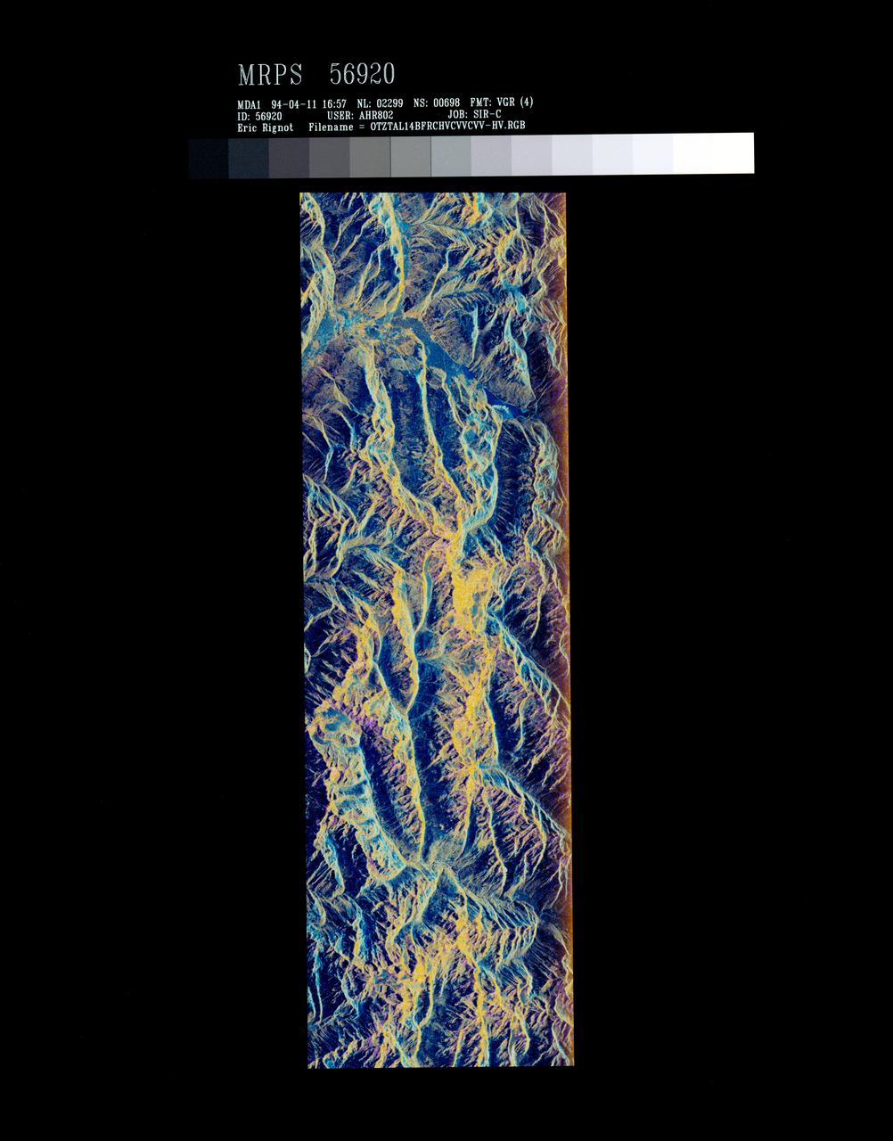
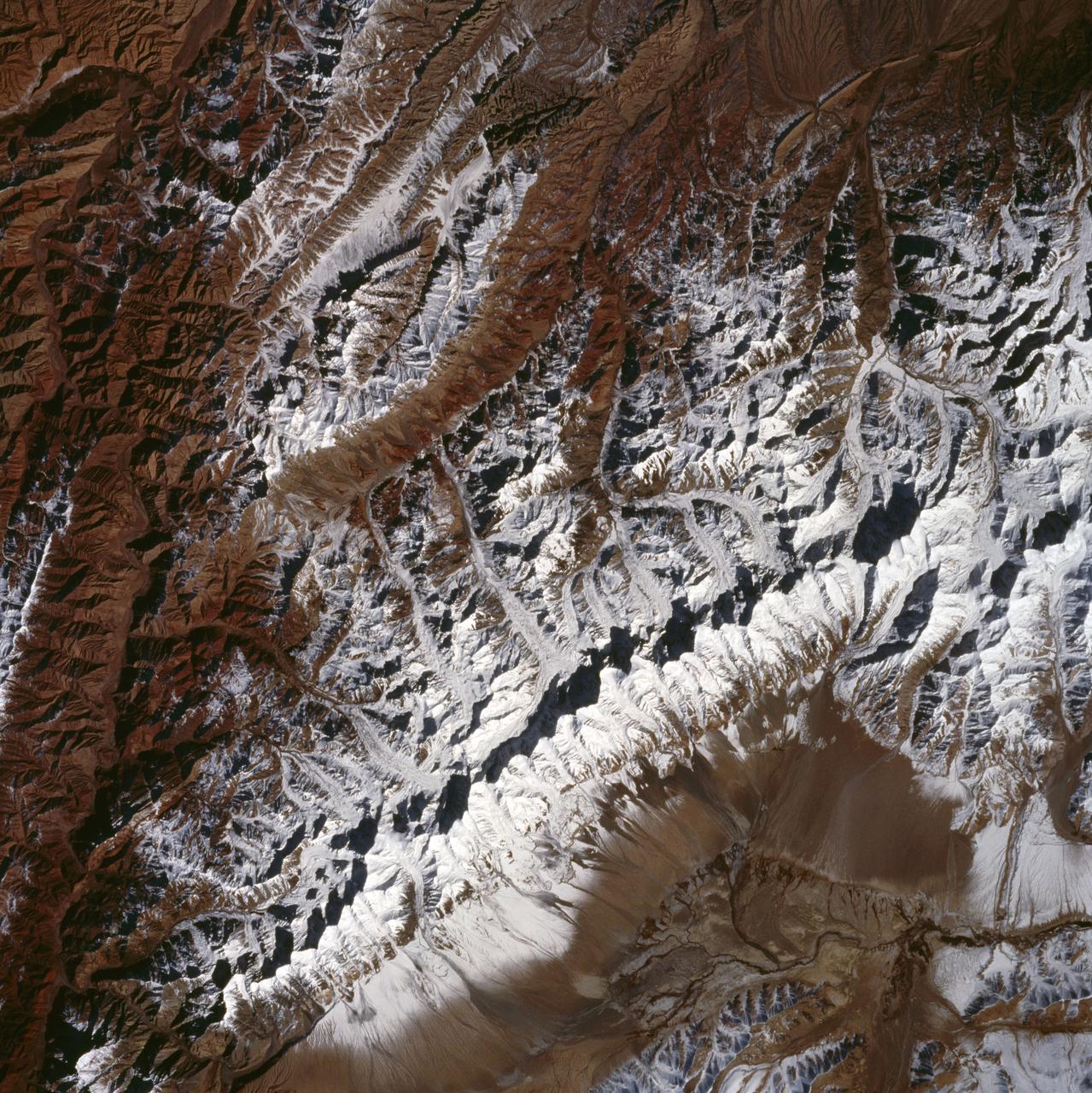
False-color composite of Oetztal, Austria
STS059-S-072 (13 April 1994) --- This image is a false-color composite of Oetztal, Austria located in the Central Alps, centered at 46.8 degrees north latitude, and 10.70 degrees east longitude, at the border between Switzerland (top), Italy (left) and Austria (right and bottom). The area shown is 50 kilometers (30 miles) south of Innsbruck, Austria. This image was acquired by the Spaceborne Imaging Radar-C and X-Band Synthetic Aperture Radar (SIR-C/X-SAR) aboard the Space Shuttle Endeavour on its 14th orbit. Oetztal is a SIR-C/X-SAR hydrology supersite. Approximately one quarter of this image is covered by glaciers, the largest of which, Gepatschferner, is visible as a triangular yellow patch in the center of the scene. The summits of the main peaks reach elevations between 3,500 and 3,768 meters (11,500 and 12,362 feet) above sea level. The tongues of the glaciers are descending from elevated plateaus down into narrow valleys which were formed during the last ice age. This color image was produced in C-Band using multi-polarization information (Red=CHV, Green=CVV, Blue=CVV/CHV). The blue areas are lakes (Gepatsch Dam at center right; Lake Muta at top right) and glacier ice. The y
- Date
- 1994-04-13
- Collection
- JSC
- Archive
- NASA Image and Video Library
- Type
- photograph
Public domainsafest
Reason: a NASA work: not copyrighted in the United States.
Read from: NASA media usage guidelines: NASA material is not copyrighted in the US unless noted; no third-party credit or mark found.
Credit line
"False-color composite of Oetztal, Austria" (1994-04-13). NASA/JSC. Public domain. https://images.nasa.gov/details/sts059-s-072Need photos for a whole script? Add Find Any Photo to Claude and ask for this one by its id: 15108.
More like this
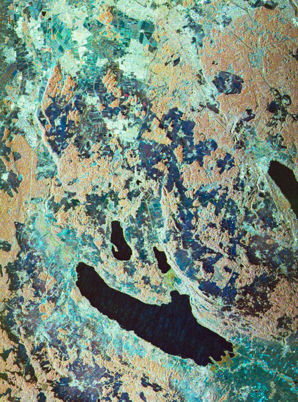
Three frequency false-color image of Oberpfaffenhofen supersite in Germany
1994-04-18 · NASA Image and Video Library
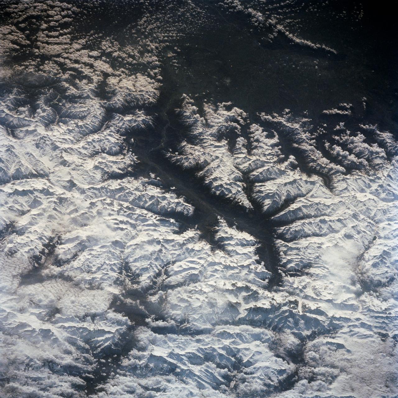
French Alps, Mont Blanc, French/Italian Border
1992-04-02 · NASA Image and Video Library
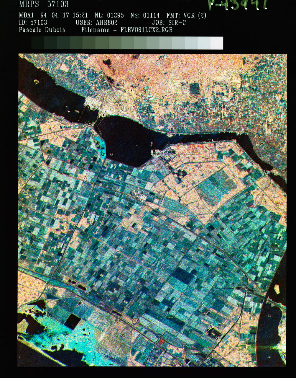
Three frequency false color image of Flevoland, the Netherlands
1994-04-18 · NASA Image and Video Library
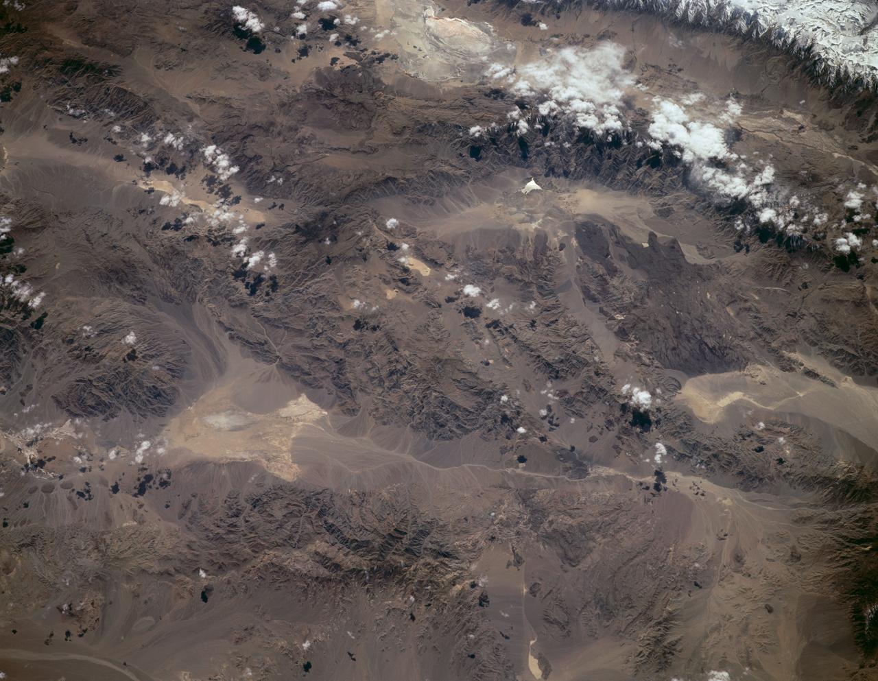
Sierra Nevada, California as seen from STS-59
1994-04-14 · NASA Image and Video Library
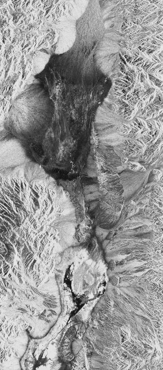
Death Valley, California
1994-04-11 · NASA Image and Video Library
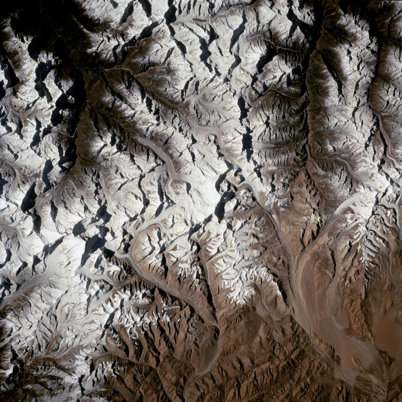
Mount Everest region as seen from the STS-66 orbiter Atlantis
1994-11-14 · NASA Image and Video Library
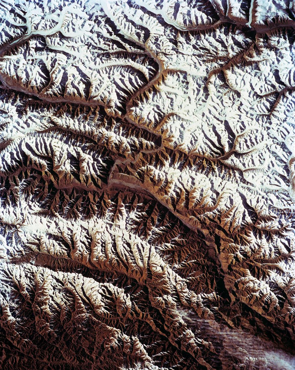
STS-56 Earth observation of Karakorum Range of north India
1993-04-17 · NASA Image and Video Library
King Ata Tag Mountain Range, western China as seen by STS-66 Atlantis
1994-11-14 · NASA Image and Video Library