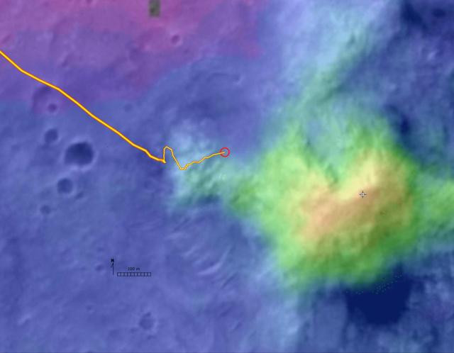
Digital Elevation Map of Spirit Trek
This digital elevation map, produced from satellite data overlain on an image taken by the Mars Orbital Camera on NASA's Mars Global Surveyor spacecraft, shows changes in elevation along the trek of NASA's Mars Exploration Rover Spirit as of the rover's 328th martian day, or sol (Dec. 4, 2004). To that point, Spirit had driven a total of 3.89 kilometers (2.42 miles). The blue area represents the basaltic plains on the floor of Gusev Crater, about 20 meters (66 feet) below the rover's present location. Spirit crossed those plains for several months after landing to the west, off the left edge of this image. The greenish-blue area is the "West Spur" of the "Columbia Hills," which Spirit reached on sol 156 (June 11, 2004). Since then, Spirit has been gradually ascending the slopes of the "West Spur" in an east-northeasterly direction. Southeast of the rover's current position is a brighter green area that represents an abrupt increase in slope where the "West Spur" meets the steeper flanks of the "Columbia Hills." The yellow and red areas represent the highest slopes and peaks. A steep valley east of the rover's location appears, from orbiter images, to have layered outcrops. Scientis
- Date
- 2004-12-08
- Photographer / author
- NASA/JPL/MSSS/NMMNHS
- Collection
- JPL
- Archive
- NASA Image and Video Library
- Type
- photograph
Public domainsafest
Reason: a NASA work: not copyrighted in the United States.
Read from: NASA media usage guidelines: NASA material is not copyrighted in the US unless noted; no third-party credit or mark found.
Credit line
"Digital Elevation Map of Spirit Trek" (2004-12-08). NASA/JPL/NASA/JPL/MSSS/NMMNHS. Public domain. https://images.nasa.gov/details/PIA07089Need photos for a whole script? Add Find Any Photo to Claude and ask for this one by its id: 23105.
More like this
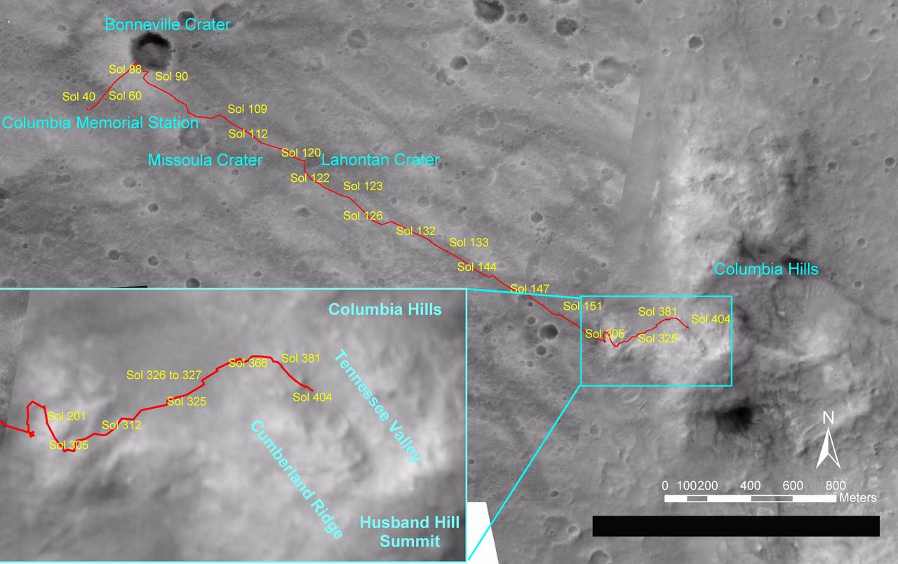
Spirit Traverse Map, Sol 404
2005-02-26 · NASA Image and Video Library
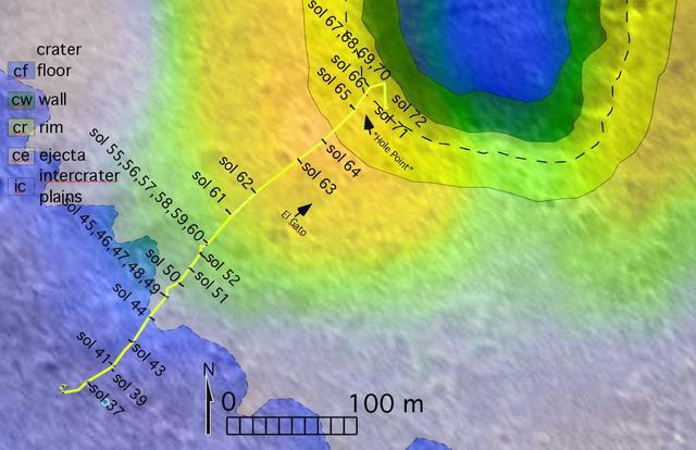
To Bonneville and Beyond
2004-03-18 · NASA Image and Video Library
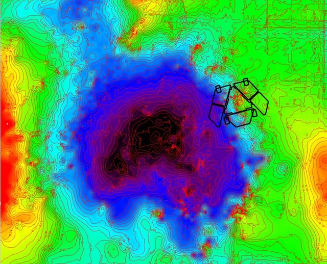
Adjusted Local Topography Map of Spirit Surroundings
2009-11-12 · NASA Image and Video Library
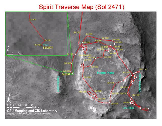
Spirit Traverse Map, Sol 2471
2010-12-17 · NASA Image and Video Library
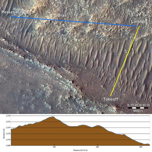
Topography Between Mars Helicopter and Rover for Flight 17
2021-12-07 · NASA Image and Video Library
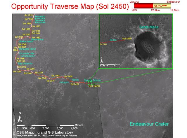
Opportunity Traverse Map, Sol 2450
2010-12-17 · NASA Image and Video Library
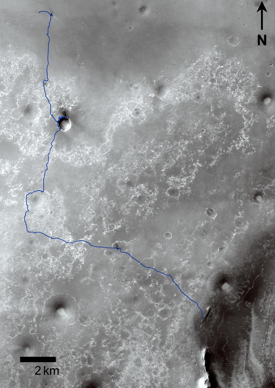
Opportunity Traverses Through 2,700 Martian Days
2011-09-01 · NASA Image and Video Library

Temperature Map, "Bonneville Crater" (1:35 p.m.)
2004-05-17 · NASA Image and Video Library