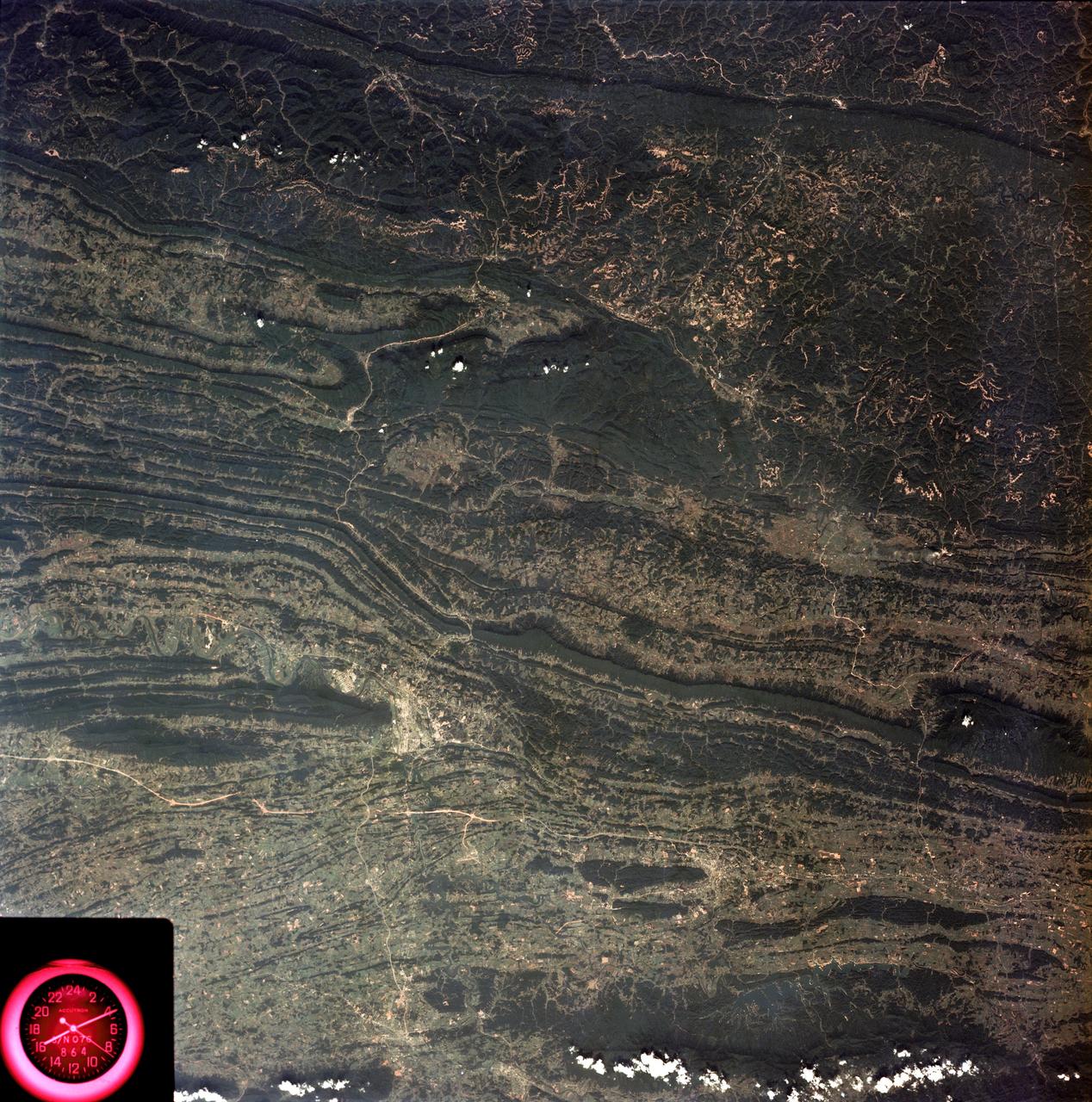
View of Tennessee, Virginia, Kentucky border area
SL3-88-053 (July-September 1973) --- A near vertical view of the Tennessee-Virginia-Kentucky border area is seen in this Skylab 3 Earth Resources Experiments Package S190-B (five-inch Earth terrain camera) photograph taken from the Skylab space station in Earth orbit. The clock is in the most southerly corner of the picture. Interstate 81 under construction extends northeast-southwest across the bottom portion of the photograph. The larger urban area nearest the center of the picture is Kingsport, Tennessee. On the southern side of I-80 and east of Kingsport is the city of Bristol, Tennessee-Virginia. Johnson City, Tennessee is the urban area near the edge of the picture southeast of Kingsport. The Holston River, a tributary of the Tennessee River, meanders through the Kingsport area. The characteristic ridge and valley features in the Cumberland Plateau of Kentucky, Tennessee and Virginia are clearly visible. Forests (dark green) occur on the ridges and clearly outline the folded and faulted rock formations. The valleys (light) were formed in the softer rocks as a result of erosion. Agricultural areas are indicated by the characteristic rectangular patterns. Coal production is an
- Date
- 1973-08-15
- Collection
- JSC
- Archive
- NASA Image and Video Library
- Type
- photograph
Public domainsafest
Reason: a NASA work: not copyrighted in the United States.
Read from: NASA media usage guidelines: NASA material is not copyrighted in the US unless noted; no third-party credit or mark found.
Credit line
"View of Tennessee, Virginia, Kentucky border area" (1973-08-15). NASA/JSC. Public domain. https://images.nasa.gov/details/SL3-88-0053Need photos for a whole script? Add Find Any Photo to Claude and ask for this one by its id: 15029.
More like this
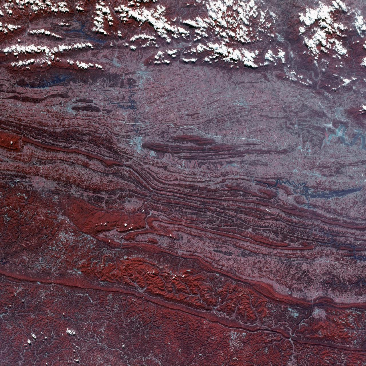
View of Virginia, Tennessee, Kentucky border area
1973-08-30 · NASA Image and Video Library
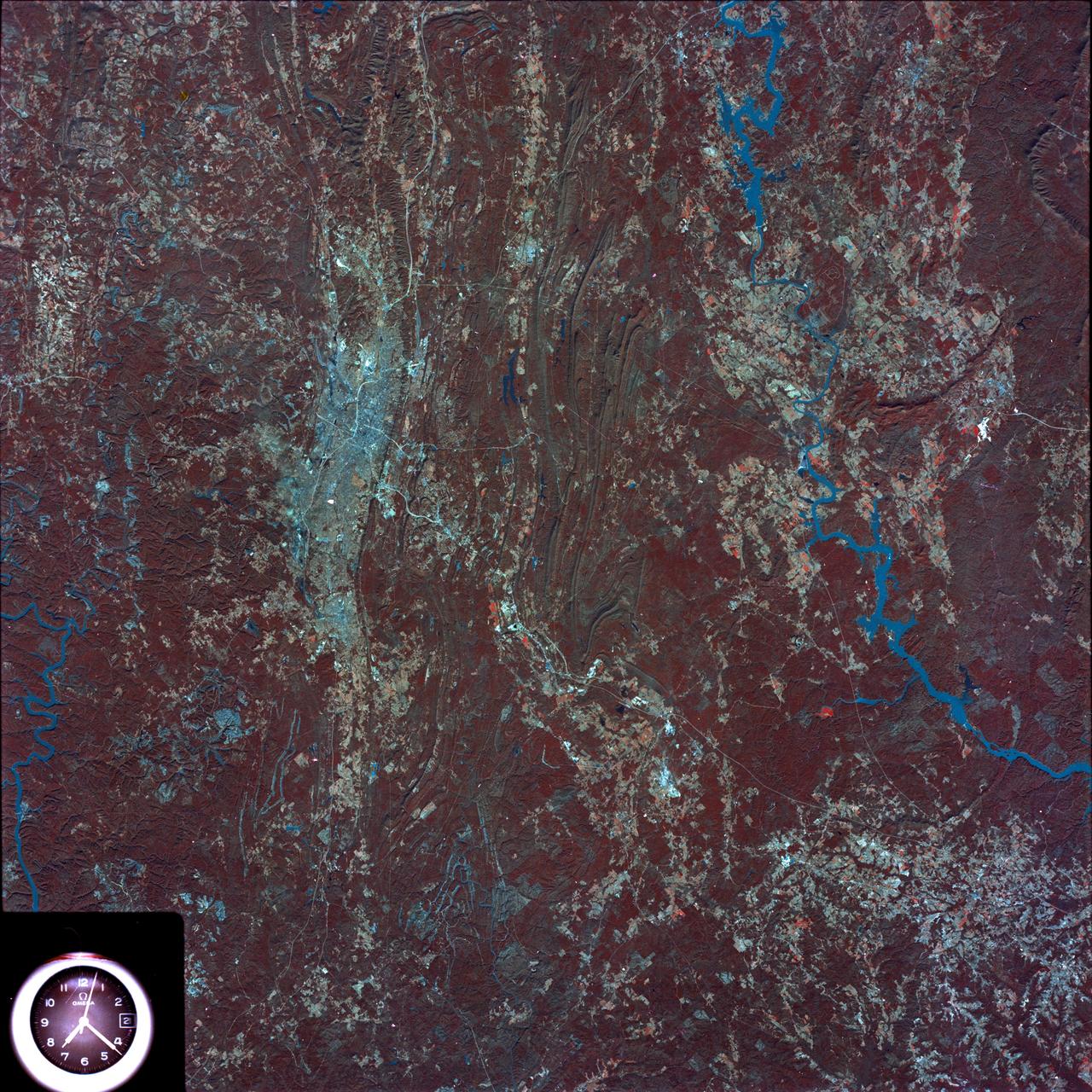
Birmingham and central Alabama area seen in Earth Resources Exp. Package
1974-02-01 · NASA Image and Video Library
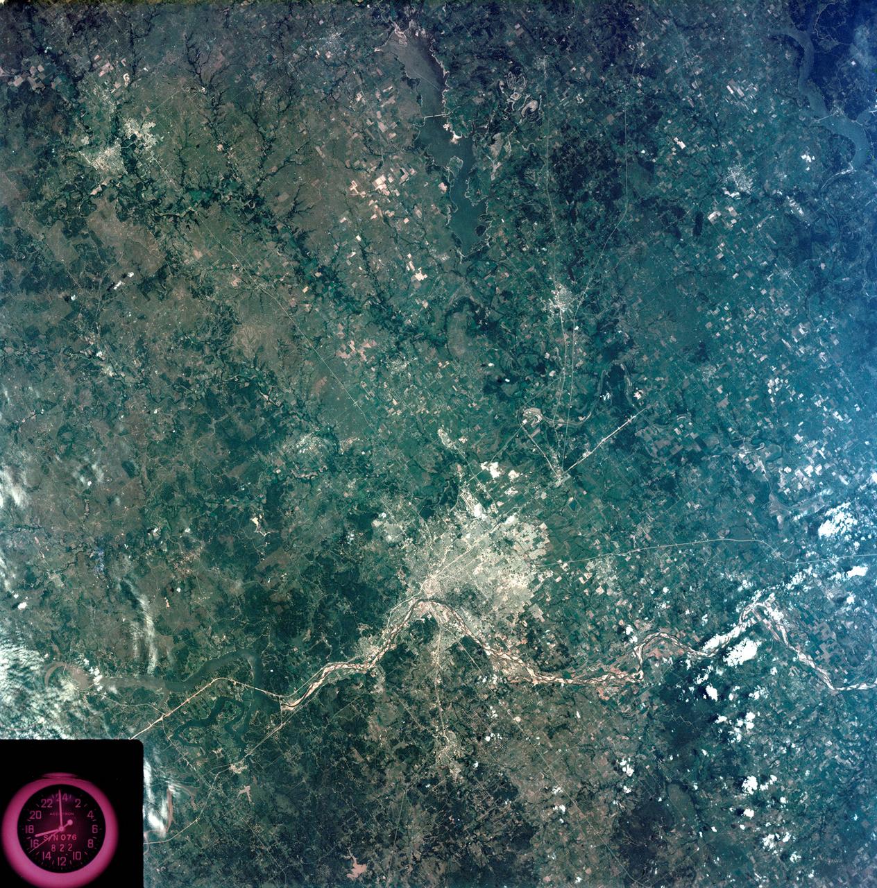
View - Northeast Oklahoma (OK) - Metropolitan Tulsa Area - OK
1973-08-15 · NASA Image and Video Library
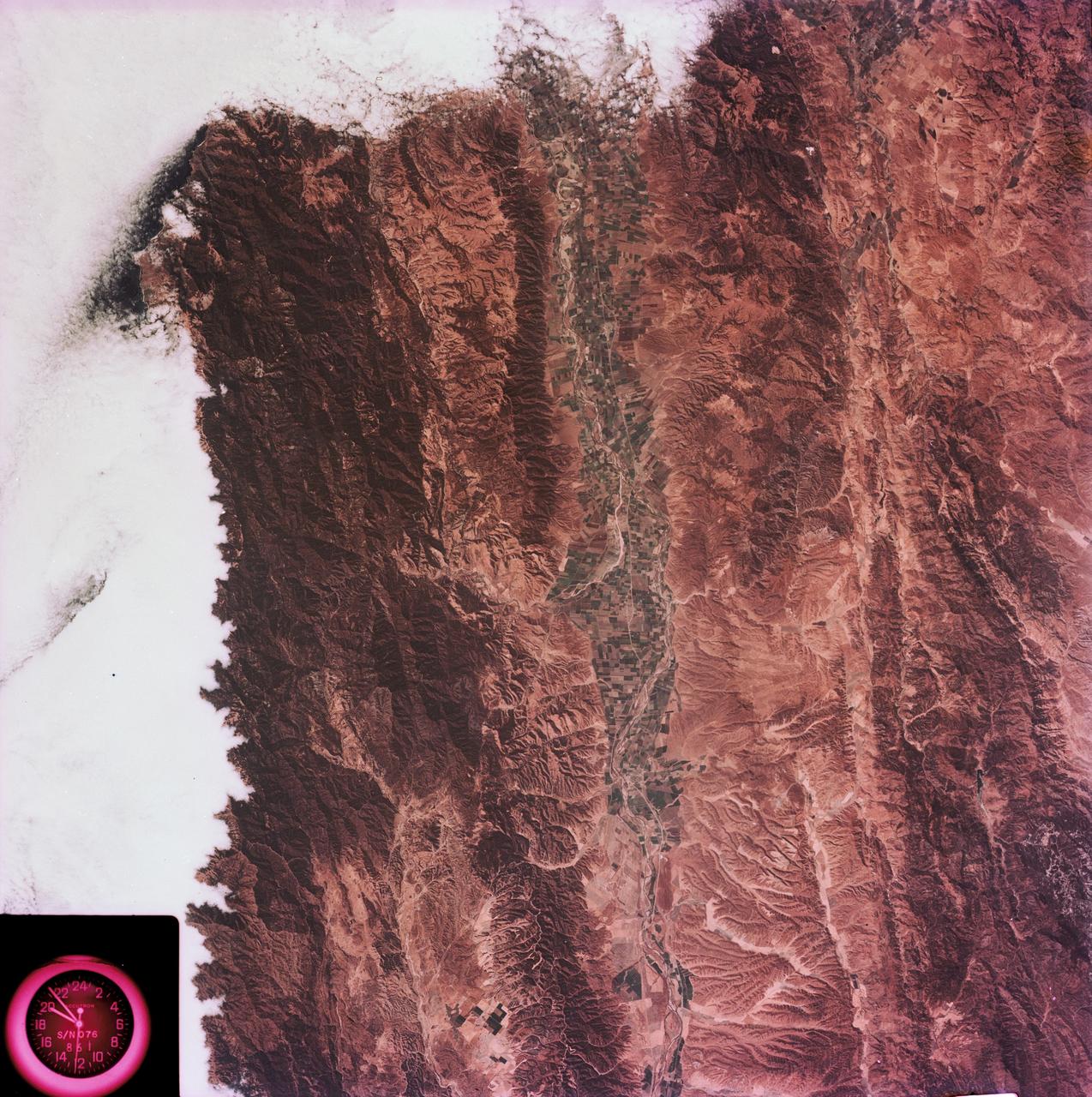
View of the Salinas River Valley area south of Monterey Bay, California
1973-08-15 · NASA Image and Video Library
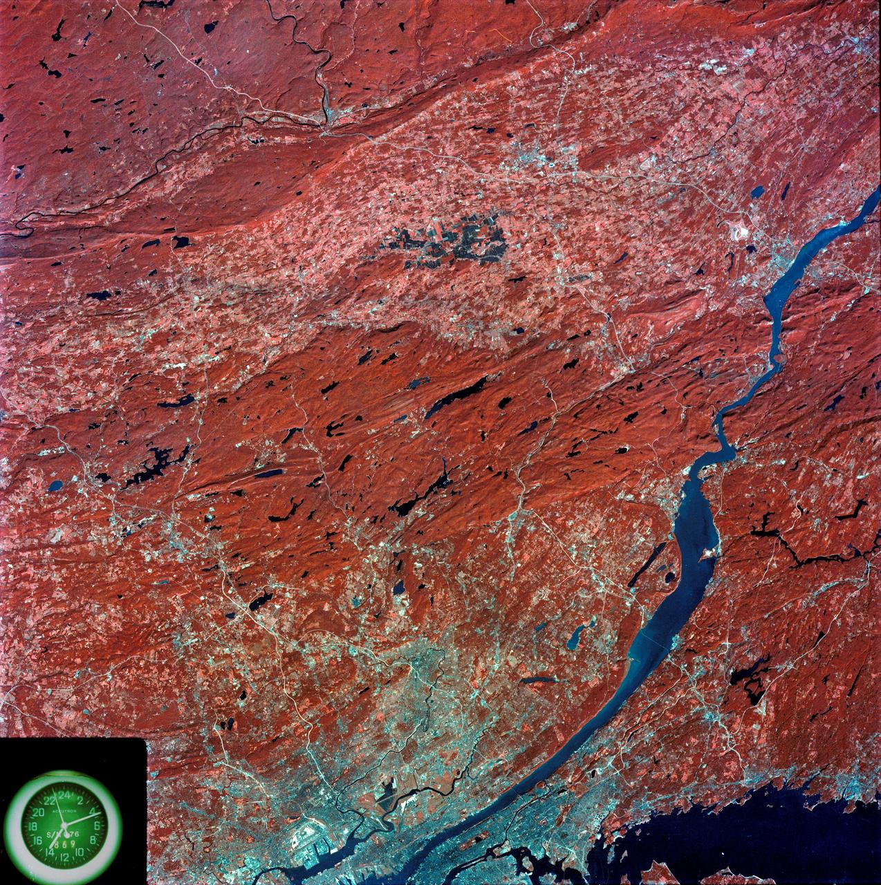
View of southeastern New York State
1973-08-15 · NASA Image and Video Library
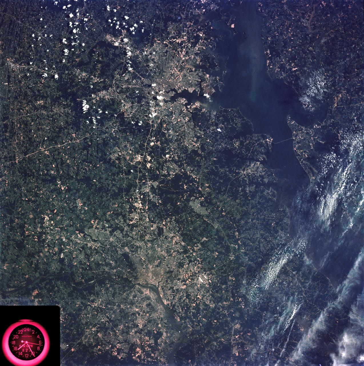
Washington, D.C. and the Baltimore, Maryland area
1973-08-15 · NASA Image and Video Library

View of southeastern Washington State
1973-08-30 · NASA Image and Video Library
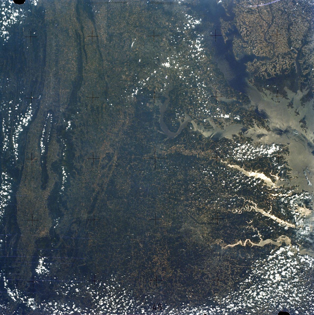
Chesapeake Bay, Potomac River
1973-06-22 · NASA Image and Video Library