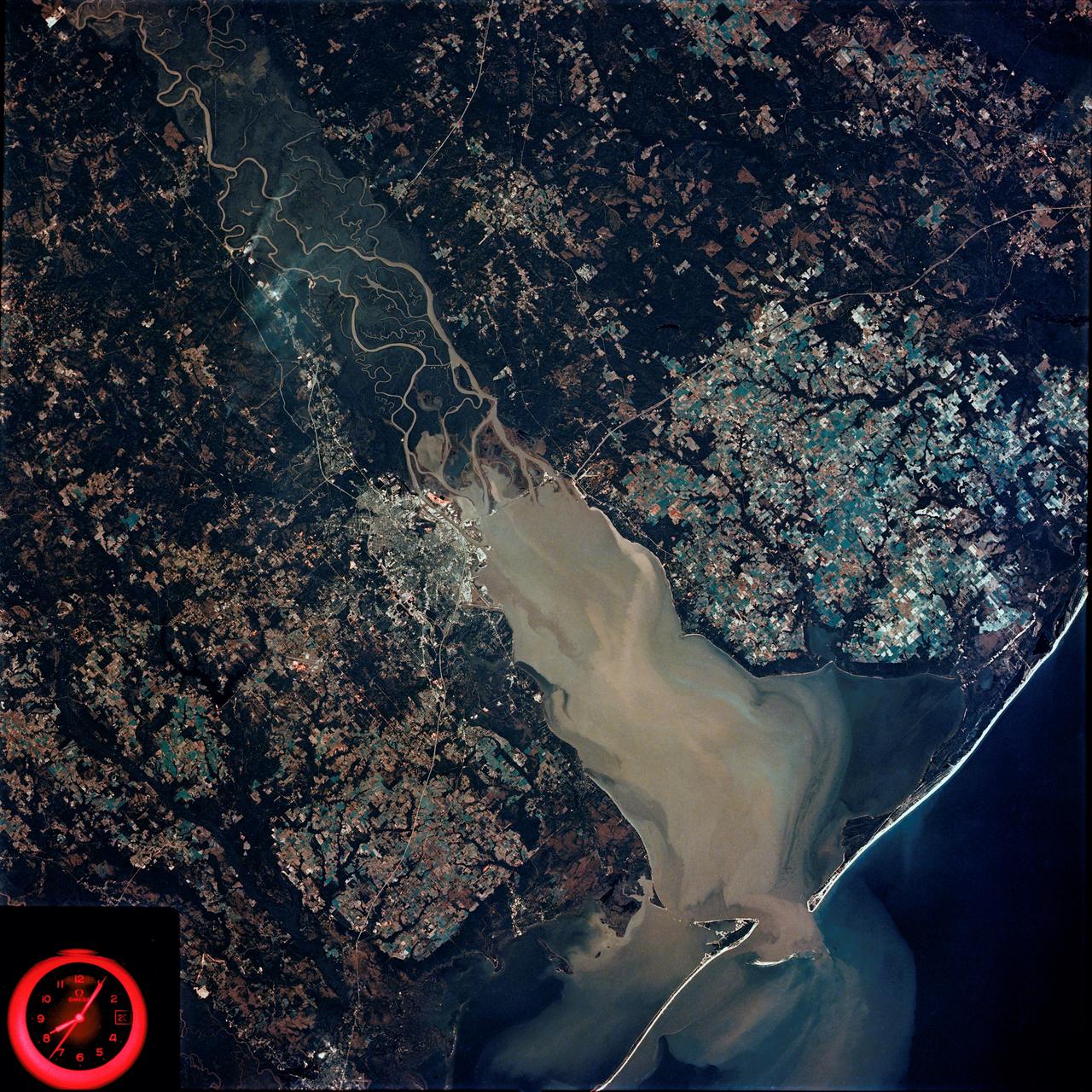
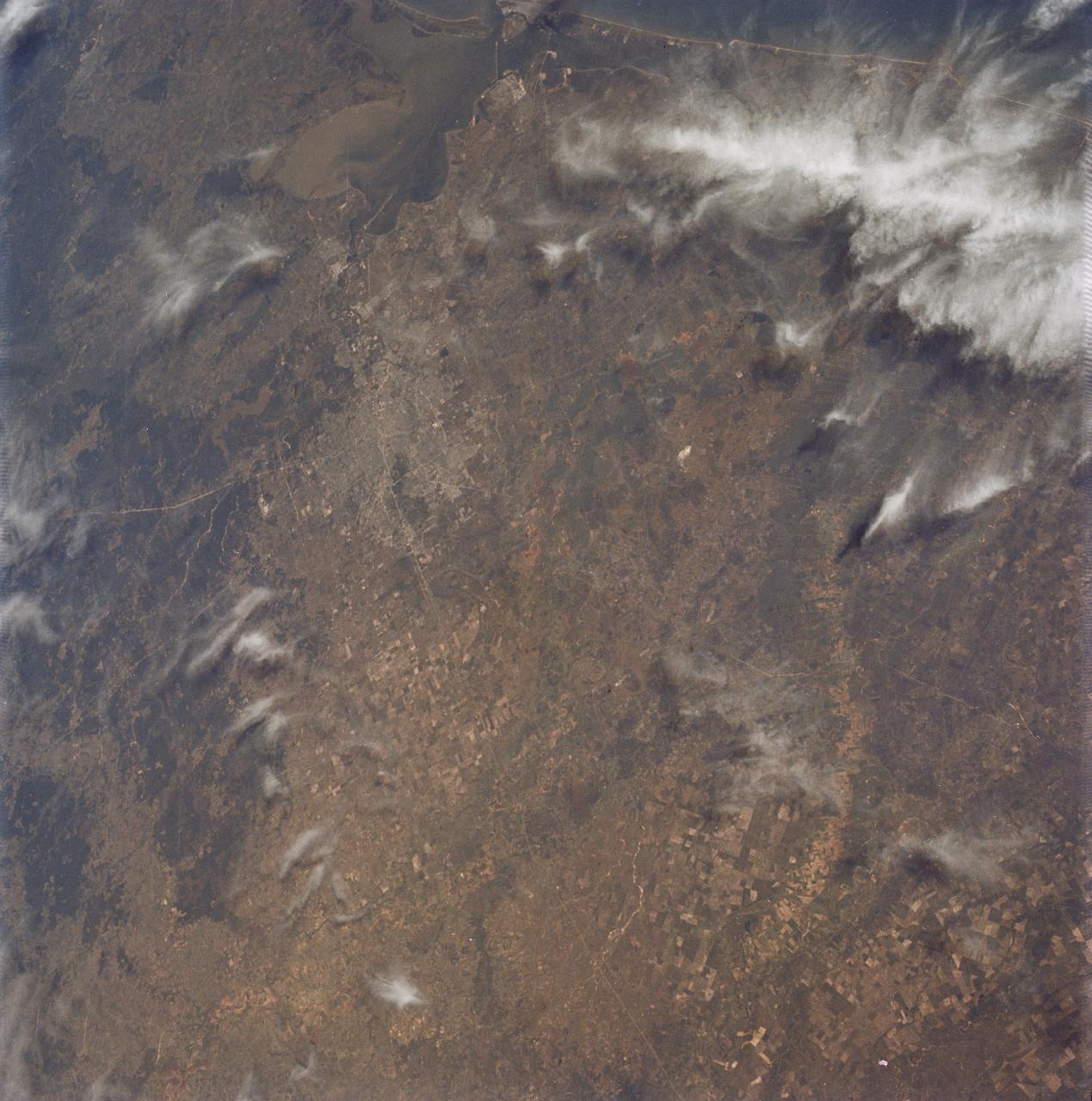
Mobile Bay, Alabama area seen in Skylab 4 Earth Resources Experiment Package
SL4-92-300 (February 1974) --- A near vertical view of the Mobile Bay, Alabama area is seen in this Skylab 4 Earth Resources Experiments Package S190-B (five-inch earth terrain camera) photograph taken from the Skylab space station in Earth orbit. North of Mobile the Tombigbee and Alabama Rivers join to form the Mobile River. Detailed configuration of the individual stream channels and boundaries can be defined as the Mobile River flows into Mobile Bay, and thence into the Gulf of Mexico. The Mobile River Valley with its numerous stream channels is a distinct light shade in contrast to the dark green shade of the adjacent areas. The red coloration of Mobile Bay reflects the sediment load carried into the Bay by the rivers. Variations in red color indicate sediment load and the current paths within Mobile Bay. The waterly movement of the along shore currents at the mouth of Mobile Bay is shown by the contrasting light blue of the sediment-laden current and the blue of the Gulf predominately. Agricultural areas east and west of Mobile Bay are characterized by a rectangular pattern in green to white shades. Color variations may reflect the type and growth cycle of crops. Agricultural
- Date
- 1974-02-01
- Collection
- JSC
- Archive
- NASA Image and Video Library
- Type
- photograph
Public domainsafest
Reason: a NASA work: not copyrighted in the United States.
Read from: NASA media usage guidelines: NASA material is not copyrighted in the US unless noted; no third-party credit or mark found.
Credit line
"Mobile Bay, Alabama area seen in Skylab 4 Earth Resources Experiment Package" (1974-02-01). NASA/JSC. Public domain. https://images.nasa.gov/details/SL4-92-300Need photos for a whole script? Add Find Any Photo to Claude and ask for this one by its id: 15020.
More like this
Birmingham and central Alabama area seen in Earth Resources Exp. Package
1974-02-01 · NASA Image and Video Library
New Orleans, Louisiana, Mississippi River, and Lake Pontchartrain
1973-06-22 · NASA Image and Video Library
Kennedy Space Center and the Florida Atlantic coast area
1974-02-01 · NASA Image and Video Library
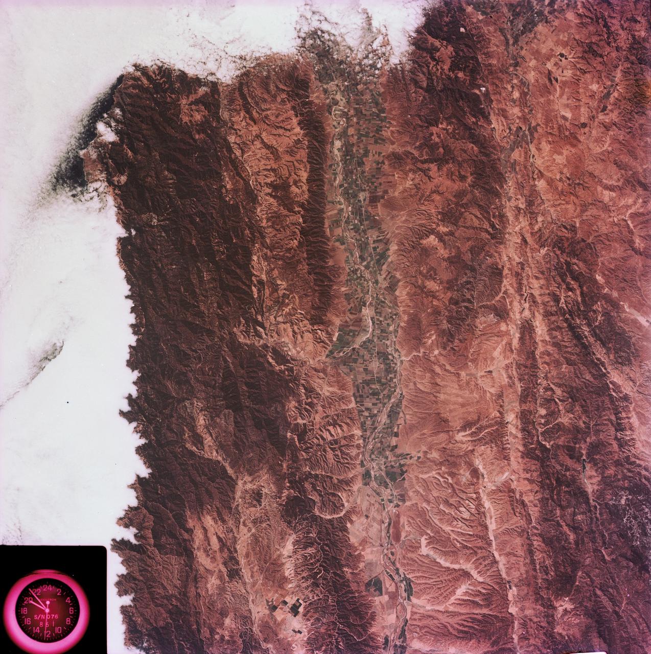
View of the Salinas River Valley area south of Monterey Bay, California
1973-08-15 · NASA Image and Video Library
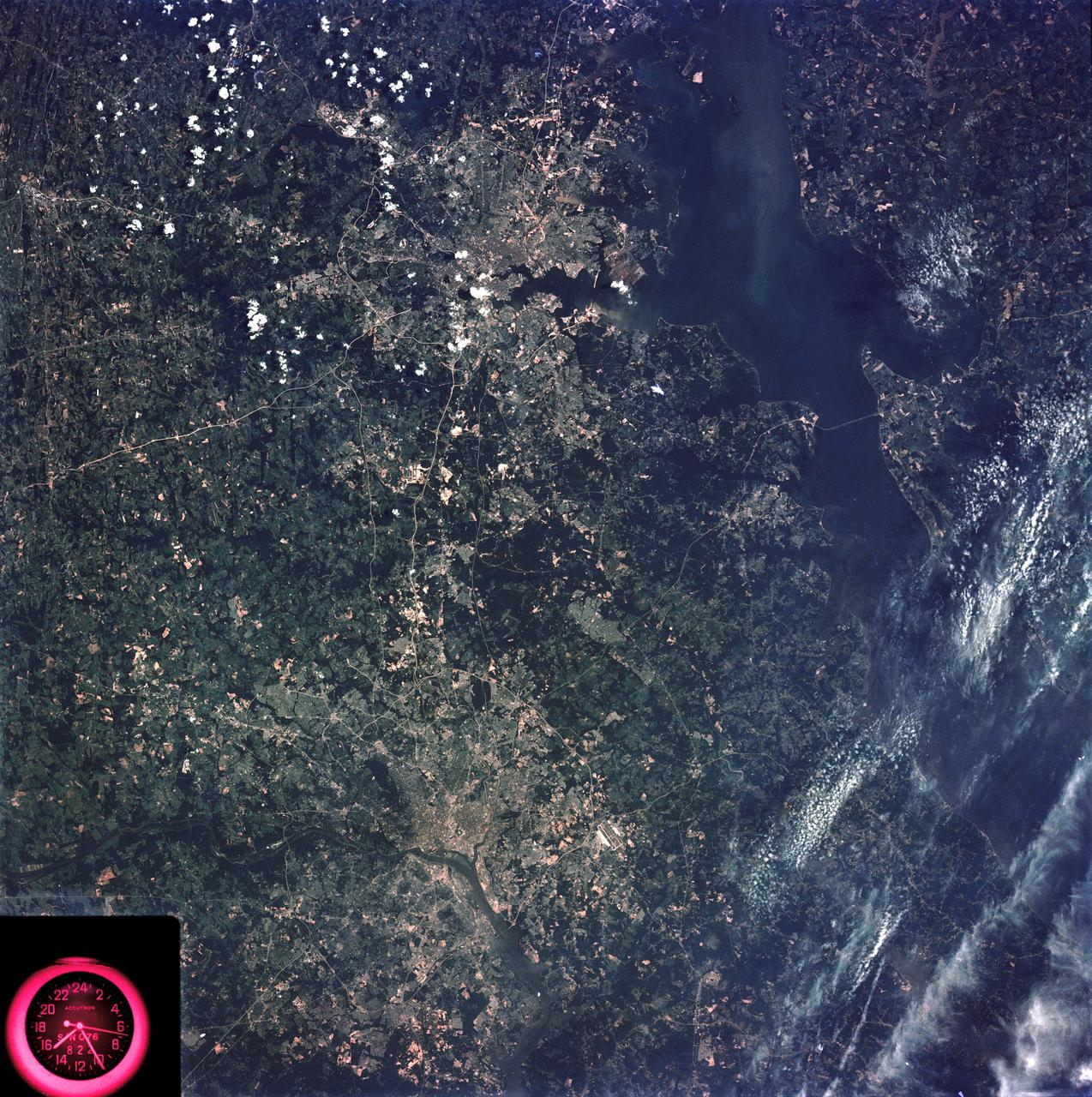
Washington, D.C. and the Baltimore, Maryland area
1973-08-15 · NASA Image and Video Library
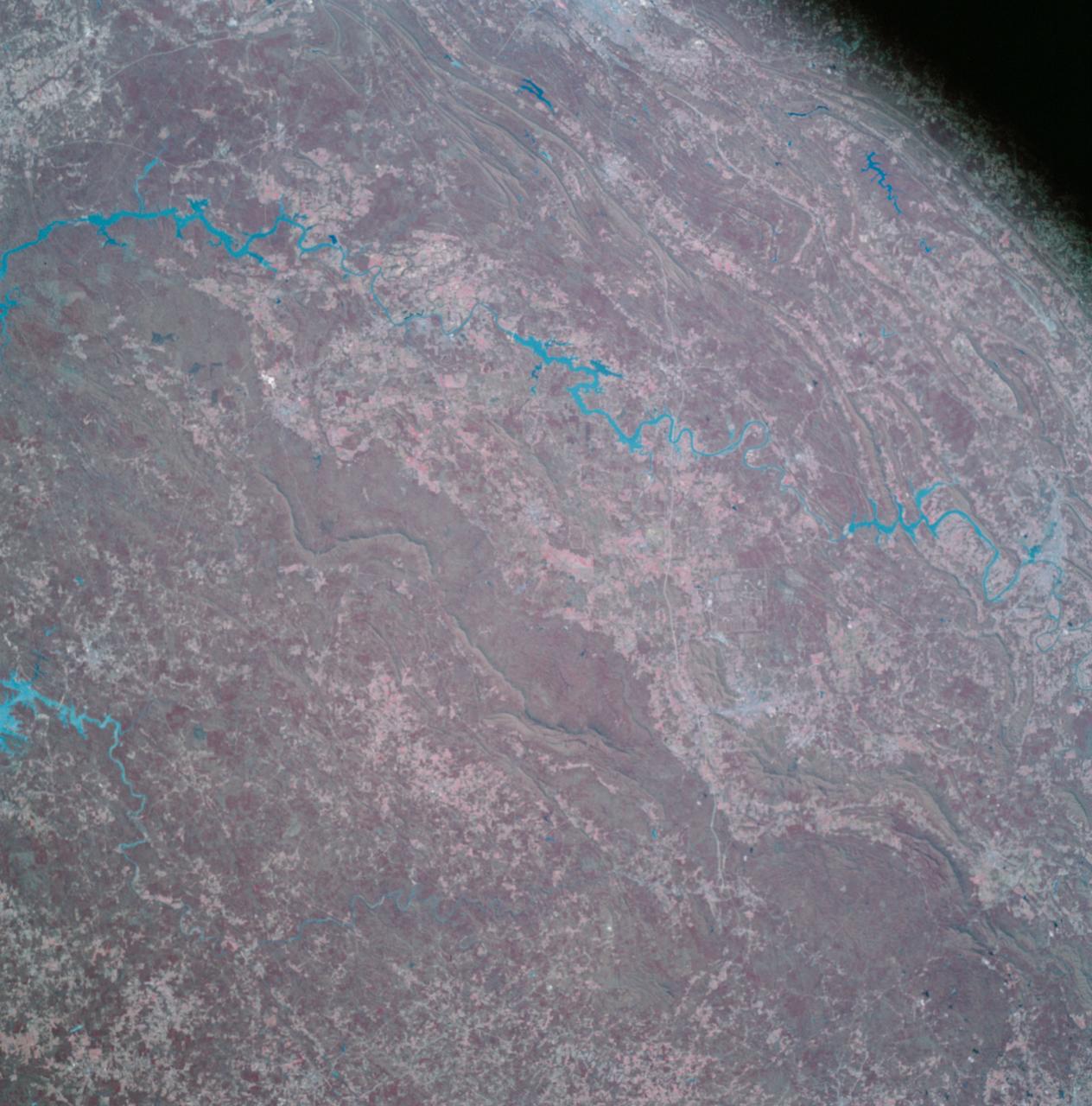
Apollo 9 Mission image - S0-65 Multispectral Photography - Alabama
2009-02-19 · NASA Image and Video Library
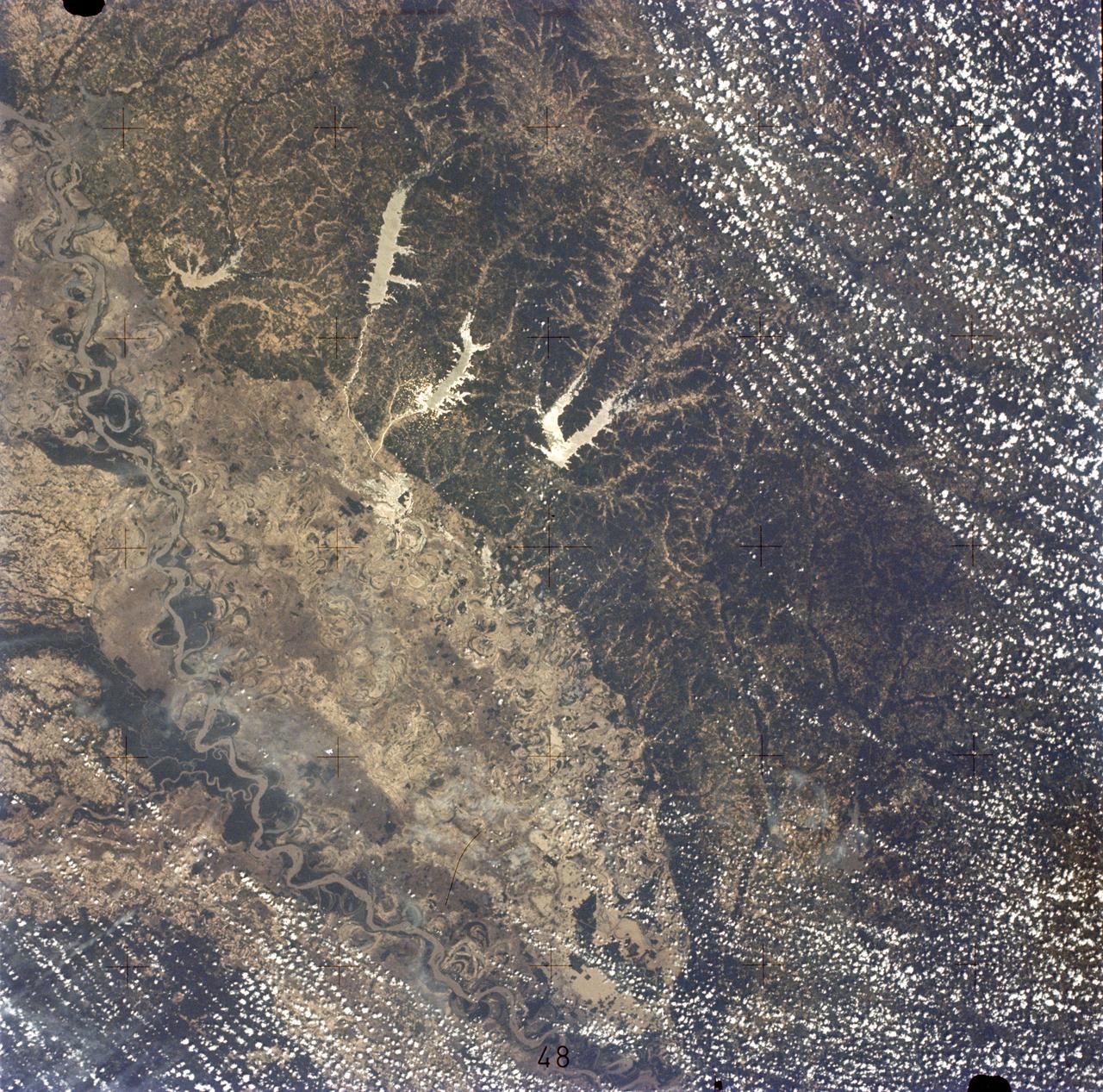
Mississippi River, Yazoo Basin, Memphis, TN
1973-06-22 · NASA Image and Video Library
Oblique view of Houston, Texas as seen from Apollo 9
1969-03-09 · NASA Image and Video Library