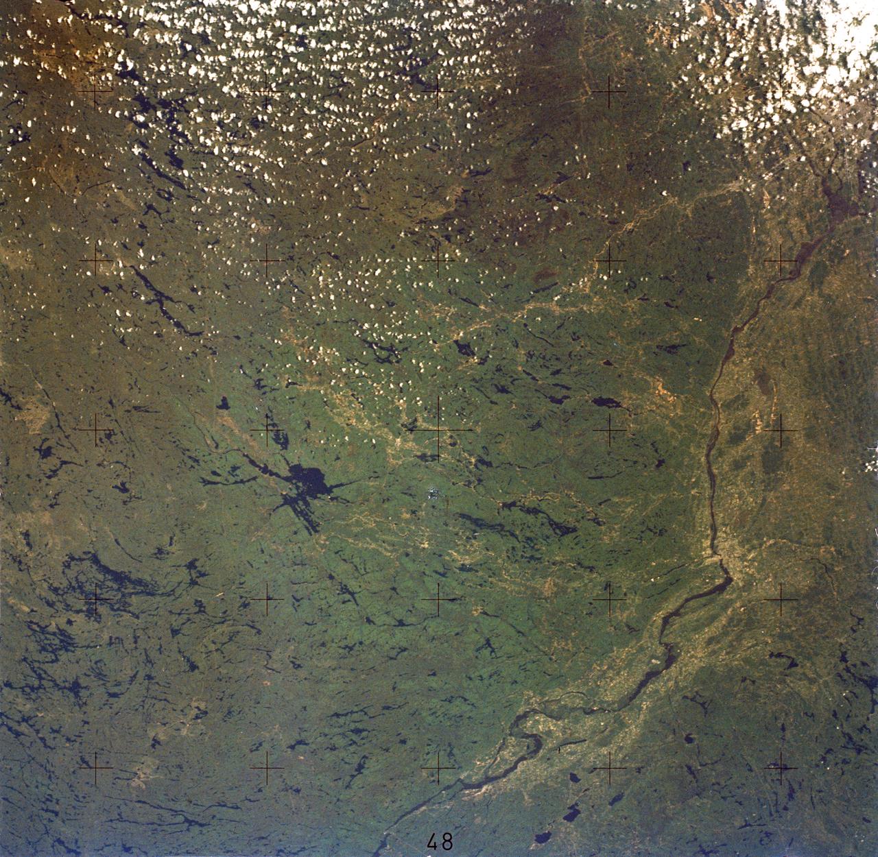
Ottawa, Quebec Province, Canada and Glaciated Landscape
SL2-05-380 (22 June 1973) --- Ottawa, in the province of Ontario, (46.5N, 75.5W) is the capital of Canada and can be seen near the bottom of this scene on the Ottawa River. The region shown lies within the Canadian Shield. The glaciated surface of the land is underlain by lower Precambrian granite and sedimentary rock. Long fractures within these crystalline rocks have, in places, been carved out by glacial action. The resultant depressions are often water filled bogs and lakes. Photo credit: NASA
- Date
- 1973-06-22
- Collection
- JSC
- Archive
- NASA Image and Video Library
- Type
- photograph
Public domainsafest
Reason: a NASA work: not copyrighted in the United States.
Read from: NASA media usage guidelines: NASA material is not copyrighted in the US unless noted; no third-party credit or mark found.
Credit line
"Ottawa, Quebec Province, Canada and Glaciated Landscape" (1973-06-22). NASA/JSC. Public domain. https://images.nasa.gov/details/sl2-05-380Need photos for a whole script? Add Find Any Photo to Claude and ask for this one by its id: 15157.
More like this
Boston, MA and New England Coastline
1973-06-22 · NASA Image and Video Library
Detroit and the Lower Peninsula of Michigan
1973-06-22 · NASA Image and Video Library

Detroit, MI, Toledo, OH and Lake Erie
1973-06-22 · NASA Image and Video Library
Chesapeake Bay, Potomac River
1973-06-22 · NASA Image and Video Library
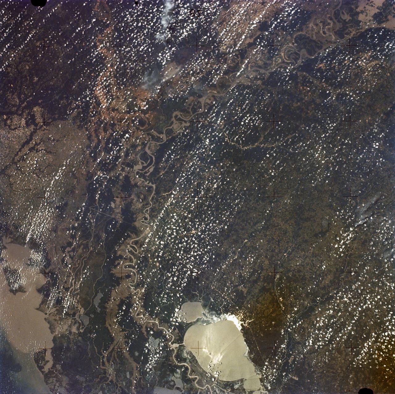
New Orleans, Louisiana, Mississippi River, and Lake Pontchartrain
1973-06-22 · NASA Image and Video Library
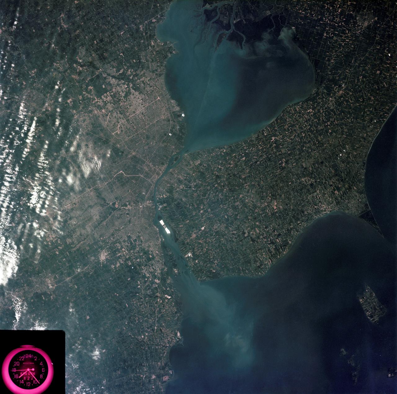
Detroit, Michigan metropolitan area photographed from Skylab
1973-08-05 · NASA Image and Video Library
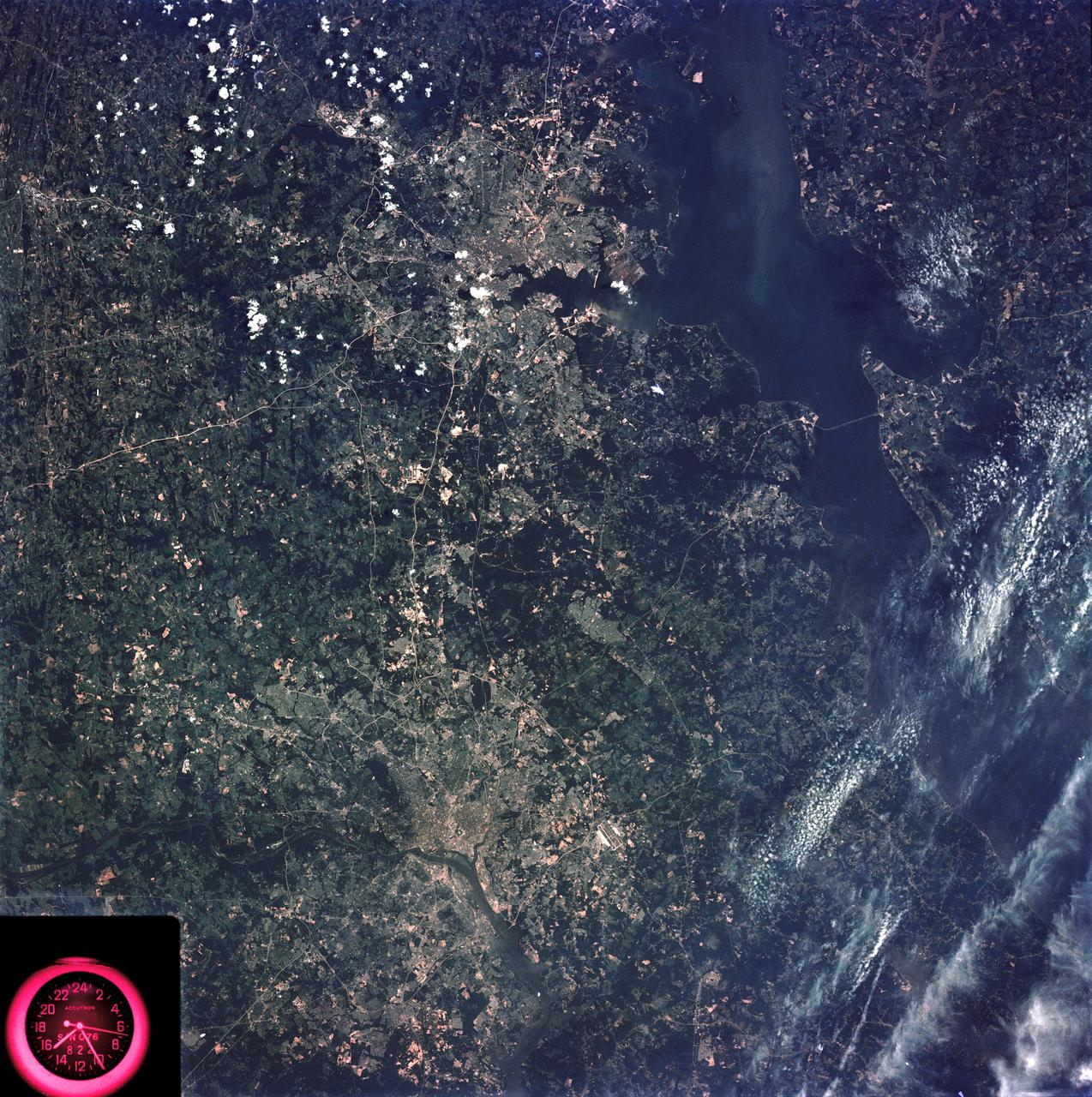
Washington, D.C. and the Baltimore, Maryland area
1973-08-15 · NASA Image and Video Library
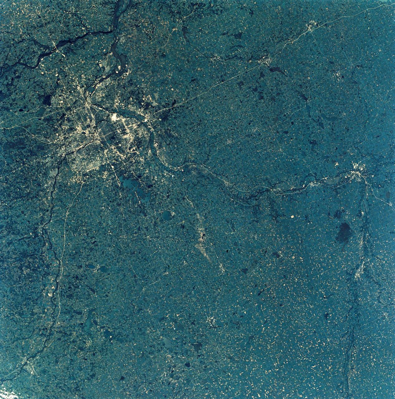
View of Minneapolis-St.Paul, Minnesota area
1973-08-30 · NASA Image and Video Library