
Detroit, MI, Toledo, OH and Lake Erie
SL2-05-390 (22 June 1973) --- Greater Detroit (42.0N, 82.5W) is located at the southeastern border of Michigan on the Detroit River across from Windsor, Ontario, Canada and Lake Huron to the north. The river connecting Lake Erie is a channel left over from the Ice Age Glaciers. The land use pattern in this scene is typical of this part of the upper Midwest. The once extensive forests have been cleared for farmland and pasture, but narrow rows of trees still line farm boundaries. Photo credit: NASA
- Date
- 1973-06-22
- Collection
- JSC
- Archive
- NASA Image and Video Library
- Type
- photograph
Public domainsafest
Reason: a NASA work: not copyrighted in the United States.
Read from: NASA media usage guidelines: NASA material is not copyrighted in the US unless noted; no third-party credit or mark found.
Credit line
"Detroit, MI, Toledo, OH and Lake Erie" (1973-06-22). NASA/JSC. Public domain. https://images.nasa.gov/details/sl2-05-390Need photos for a whole script? Add Find Any Photo to Claude and ask for this one by its id: 14982.
More like this
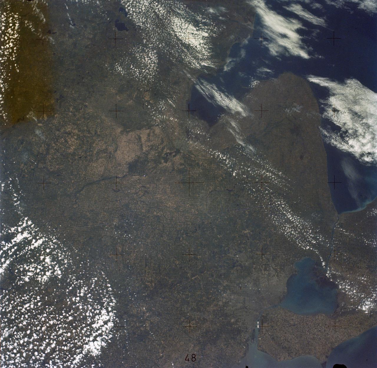
Detroit and the Lower Peninsula of Michigan
1973-06-22 · NASA Image and Video Library
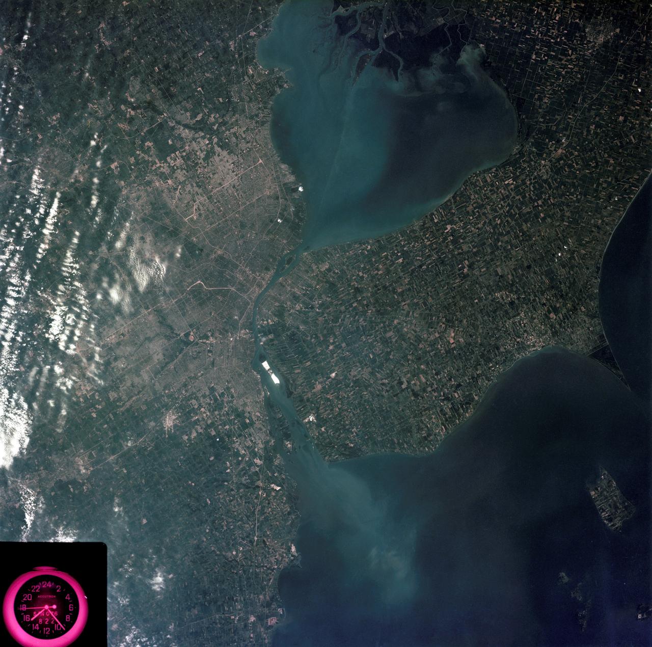
Detroit, Michigan metropolitan area photographed from Skylab
1973-08-05 · NASA Image and Video Library
New Orleans, Louisiana, Mississippi River, and Lake Pontchartrain
1973-06-22 · NASA Image and Video Library
Earth observations taken from Space Shuttle Columbia during STS-78 mission
1996-06-26 · NASA Image and Video Library
Chesapeake Bay, Potomac River
1973-06-22 · NASA Image and Video Library
Mississippi River, Yazoo Basin, Memphis, TN
1973-06-22 · NASA Image and Video Library
Ottawa, Quebec Province, Canada and Glaciated Landscape
1973-06-22 · NASA Image and Video Library
Great Lakes Region, State of Michigan, USA
1991-06-14 · NASA Image and Video Library