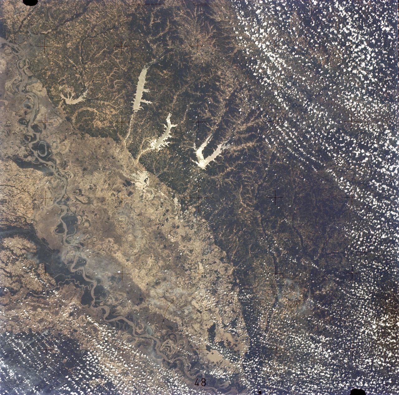
Mississippi River, Yazoo Basin, Memphis, TN
SL2-05-422 (22 June 1973) --- This section of the lower Mississippi River (34.0N, 90.0W) known as the Yazoo Basin, is characterized by a wide expanse of rich river bottomland with many oxbow lakes, the remains of the many changes in the riverbed over the course of many thousands of years. This soil is very fertile and productive but the region is prone to flooding. In this view, some of the back areas around the Delta National Forest show the effects of heavy spring rains. Photo credit: NASA
- Date
- 1973-06-22
- Collection
- JSC
- Archive
- NASA Image and Video Library
- Type
- photograph
Public domainsafest
Reason: a NASA work: not copyrighted in the United States.
Read from: NASA media usage guidelines: NASA material is not copyrighted in the US unless noted; no third-party credit or mark found.
Credit line
"Mississippi River, Yazoo Basin, Memphis, TN" (1973-06-22). NASA/JSC. Public domain. https://images.nasa.gov/details/sl2-05-422Need photos for a whole script? Add Find Any Photo to Claude and ask for this one by its id: 5943.
More like this
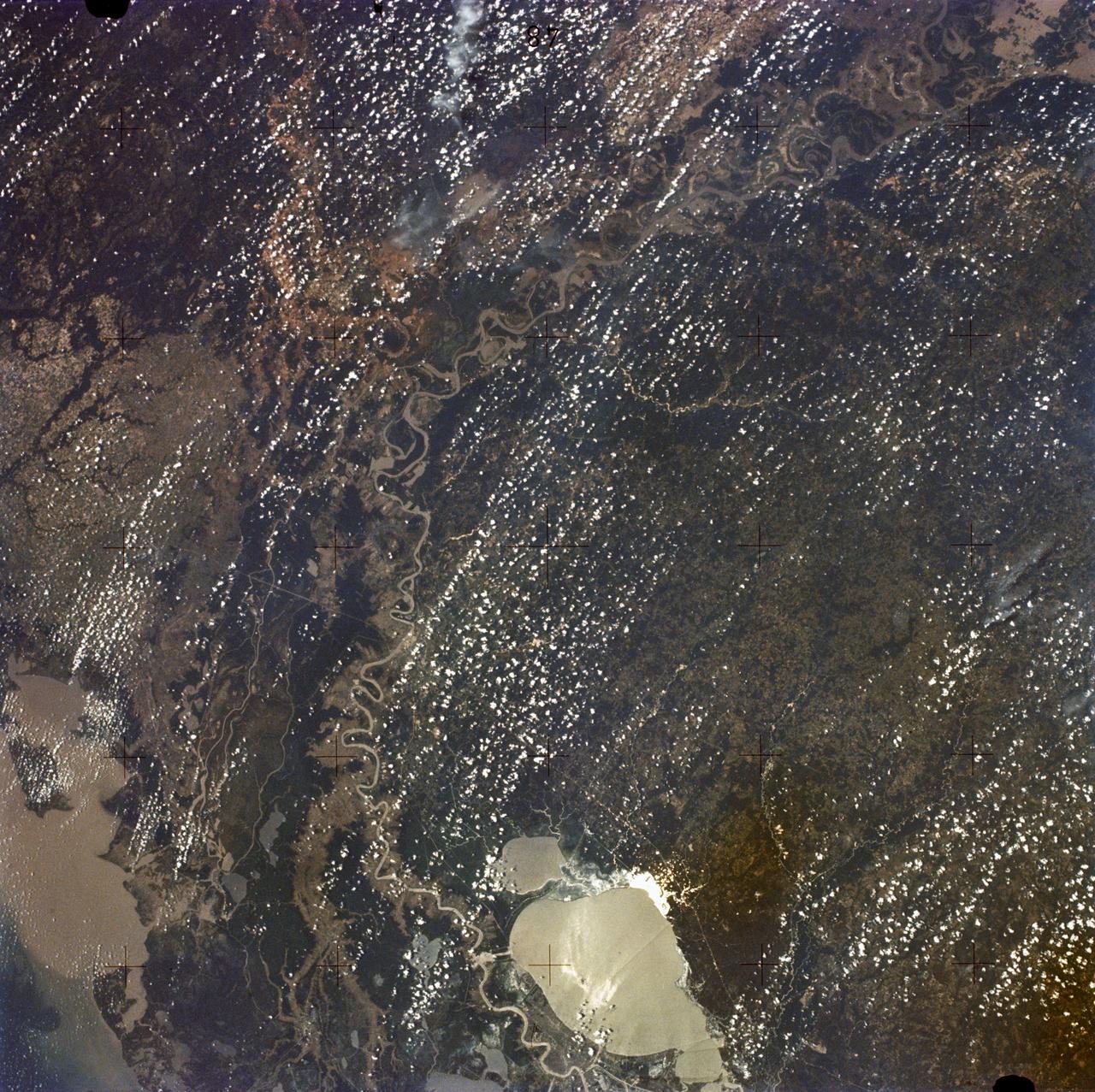
New Orleans, Louisiana, Mississippi River, and Lake Pontchartrain
1973-06-22 · NASA Image and Video Library
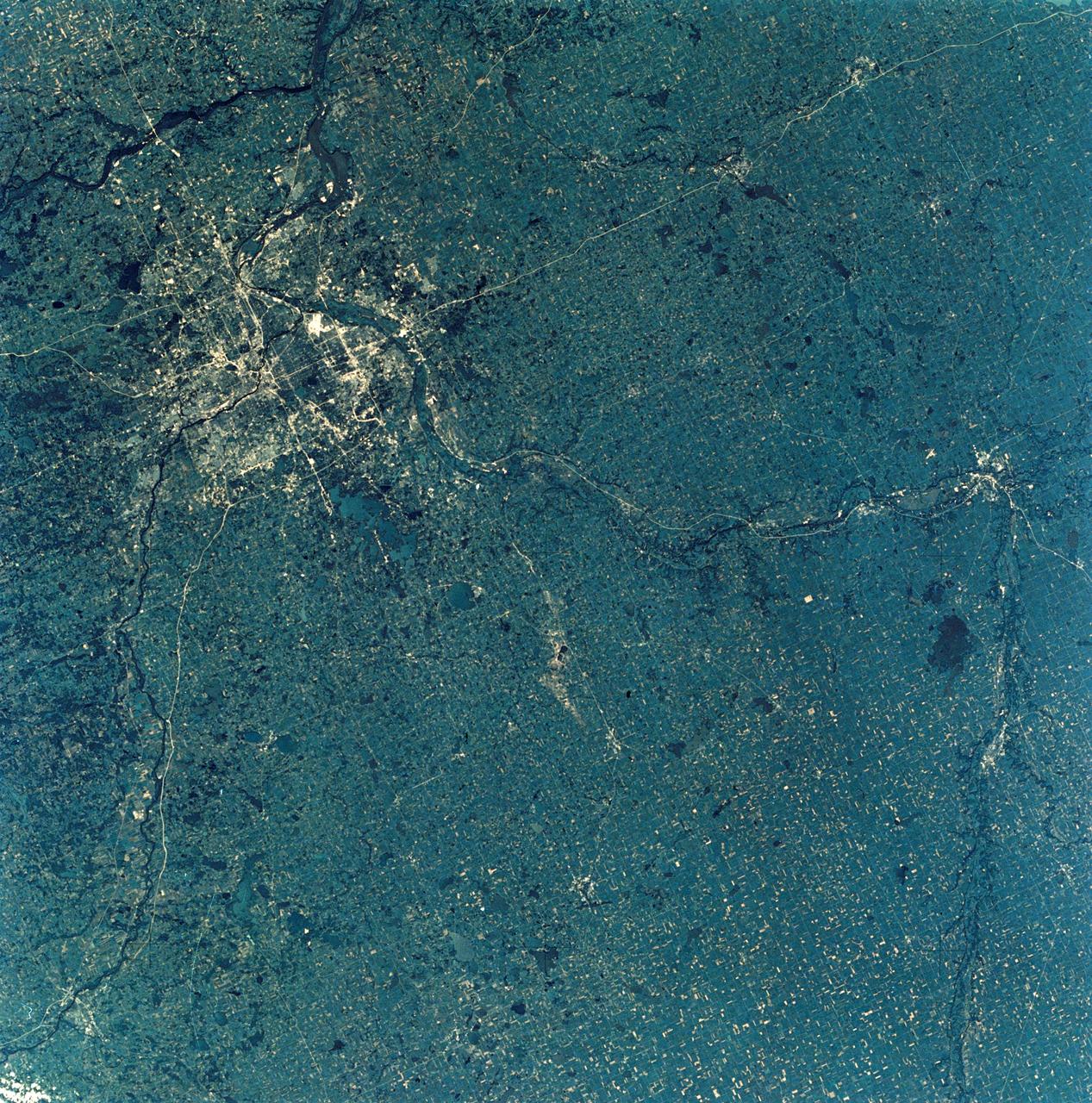
View of Minneapolis-St.Paul, Minnesota area
1973-08-30 · NASA Image and Video Library
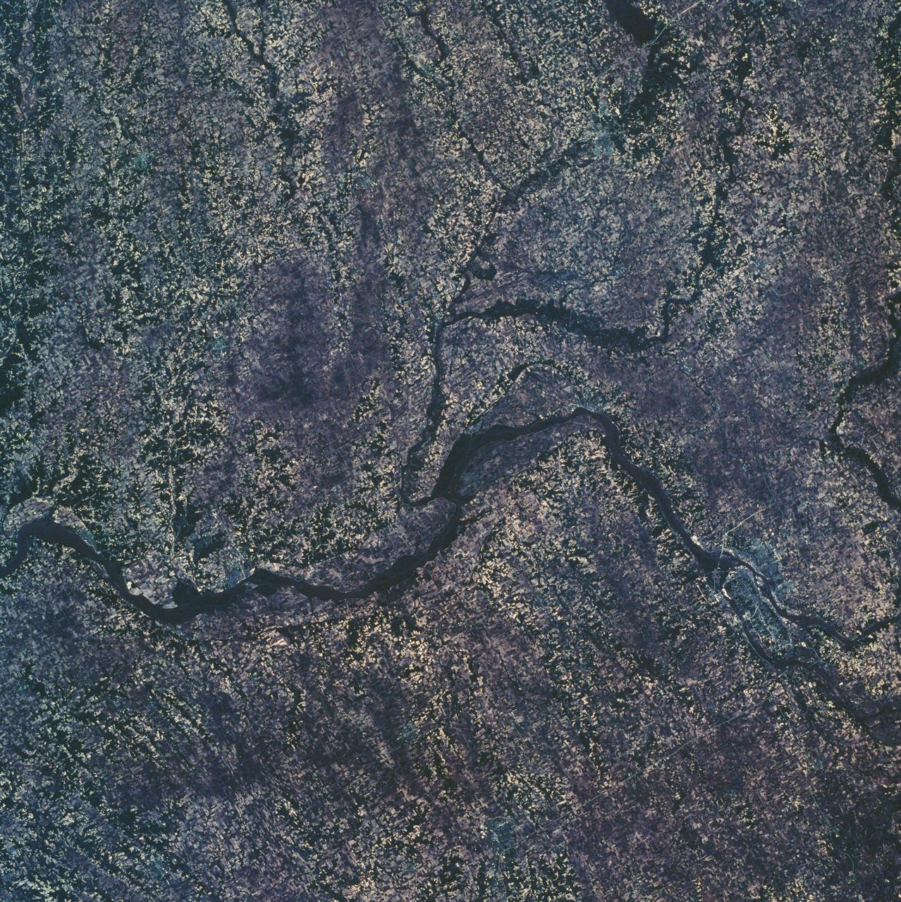
Eastern Iowa, Northwestern Illinois
1973-06-22 · NASA Image and Video Library

Detroit, MI, Toledo, OH and Lake Erie
1973-06-22 · NASA Image and Video Library
St. Louis, MO, USA
1991-06-14 · NASA Image and Video Library
Mobile Bay, Alabama area seen in Skylab 4 Earth Resources Experiment Package
1974-02-01 · NASA Image and Video Library
Chesapeake Bay, Potomac River
1973-06-22 · NASA Image and Video Library
View - Northeast Oklahoma (OK) - Metropolitan Tulsa Area - OK
1973-08-15 · NASA Image and Video Library