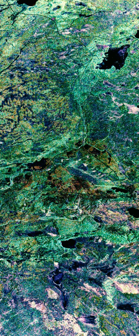
False-color composite image of Prince Albert, Canada
STS059-S-039 (11 April 1994) --- This is a false-color composite of Prince Albert, Canada, centered at 53.91 north latitude and 104.69 west longitude. This image was acquired by the Spaceborne Imaging Radar-C and X-Band Synthetic Aperture Radar (SIR-C/X-SAR) aboard the Space Shuttle Endeavour on its 20th orbit. The area is located 40 kilometers (25 miles) north and 30 kilometers (20 miles) east of the town of Prince Albert in the Saskatchewan province of Canada. The image covers the area east of the Candle Lake, between gravel surface Highways 120 and 106 and west of 106. The area in the middle of the image covers the entire Nipawin (Narrow Hills) provincial park. The look angle of the radar is 30 degrees and the size of the image is approximately 20 kilometers by 50 kilometers (12 by 30 miles). The image was produced by using only the L-Band. The three polarization channels HH, HV and VV are illustrated by red, green and blue respectively. The changes in the intensity of each color are related to various surface conditions such as variations in forest stands, frozen or thawed condition of the surface, disturbances (fire and deforestation), and areas of re-growth. Most of the dark
- Date
- 1994-04-11
- Collection
- JSC
- Archive
- NASA Image and Video Library
- Type
- photograph
Public domainsafest
Reason: a NASA work: not copyrighted in the United States.
Read from: NASA media usage guidelines: NASA material is not copyrighted in the US unless noted; no third-party credit or mark found.
Credit line
"False-color composite image of Prince Albert, Canada" (1994-04-11). NASA/JSC. Public domain. https://images.nasa.gov/details/sts059-s-039Need photos for a whole script? Add Find Any Photo to Claude and ask for this one by its id: 15511.
More like this
Three frequency false-color image of Prince Albert, Canada
1994-04-18 · NASA Image and Video Library
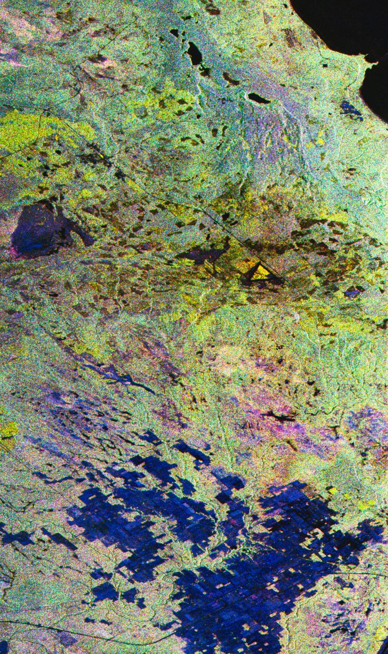
False-color composite image of Raco, Michigan
1994-04-10 · NASA Image and Video Library
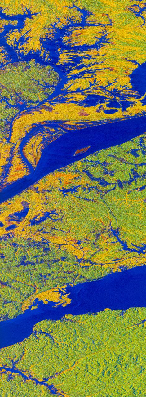
False-color L-band image of Manaus region of Brazil
1994-04-13 · NASA Image and Video Library
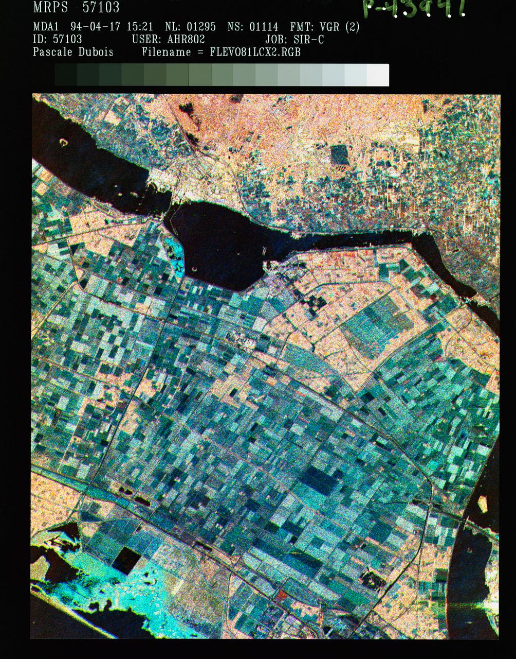
Three frequency false color image of Flevoland, the Netherlands
1994-04-18 · NASA Image and Video Library
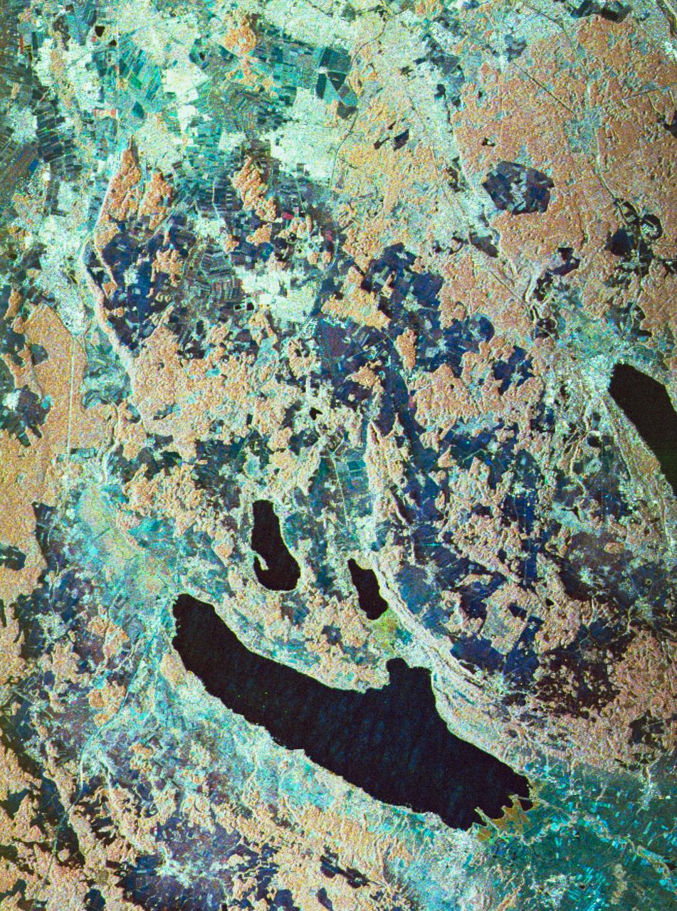
Three frequency false-color image of Oberpfaffenhofen supersite in Germany
1994-04-18 · NASA Image and Video Library
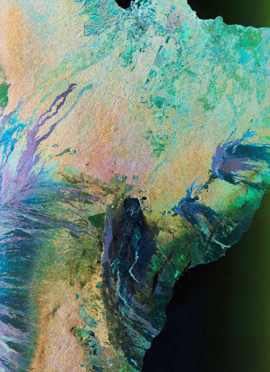
Color composite C-band and L-band image of Kilauea volcanoe on Hawaii
1994-04-15 · NASA Image and Video Library
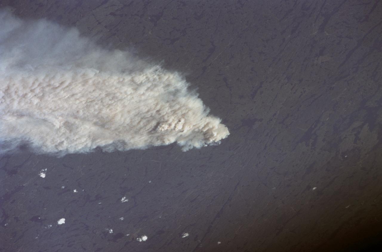
Earth Observations taken during mission STS-111 UF-2
2002-06-15 · NASA Image and Video Library
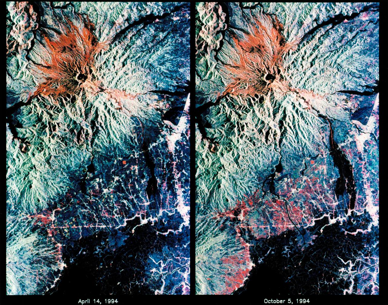
STS-68 radar image: Mt. Pinatubo, Philippines
1994-10-07 · NASA Image and Video Library