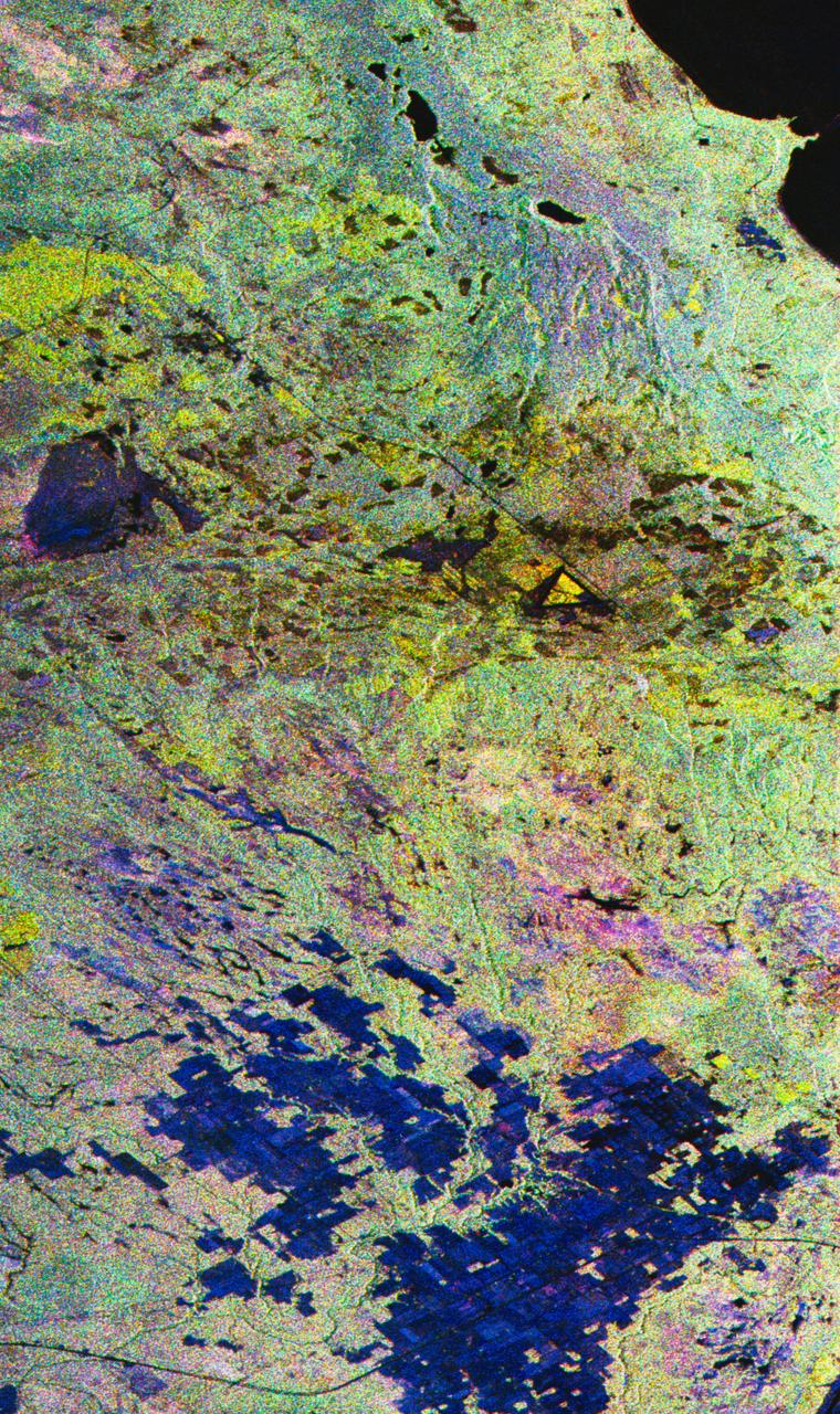
False-color composite image of Raco, Michigan
STS059-S-027 (10 April 1994) --- This image is a false-color composite of Raco, Michigan, centered at 46.39 degrees north latitude, 84.88 degrees east longitude. This image was acquired by the Spaceborne Imaging Radar-C and X-Band Synthetic Aperture Radar (SIR-C/X-SAR) aboard the Space Shuttle Endeavour on its 6th orbit and during the first full-capacity test of the instrument. This image was produced using both L-Band and C-Band data. The area shown is approximately 20 kilometers by 50 kilometers. Raco is located at the eastern end of Michigan's upper peninsula, west of Sault Ste. Marie and south of Whitefish Bay on Lake Superior. The site is located at the boundary between the boreal forests and the northern temperate forests, a transitional zone that is expected to be ecologically sensitive to anticipated global changes resulting from climatic warming. On any given day, there is a 60 percent chance that this area will be obscured to some extent by cloud cover which makes it difficult to image using optical sensors. In this color representation (Red=LHH, Green=LHV, Blue=CHH), darker areas in the image are smooth surfaces such as frozen lakes and other non-forested areas. The colo
- Date
- 1994-04-10
- Collection
- JSC
- Archive
- NASA Image and Video Library
- Type
- photograph
Public domainsafest
Reason: a NASA work: not copyrighted in the United States.
Read from: NASA media usage guidelines: NASA material is not copyrighted in the US unless noted; no third-party credit or mark found.
Credit line
"False-color composite image of Raco, Michigan" (1994-04-10). NASA/JSC. Public domain. https://images.nasa.gov/details/sts059-s-027Need photos for a whole script? Add Find Any Photo to Claude and ask for this one by its id: 15114.
More like this
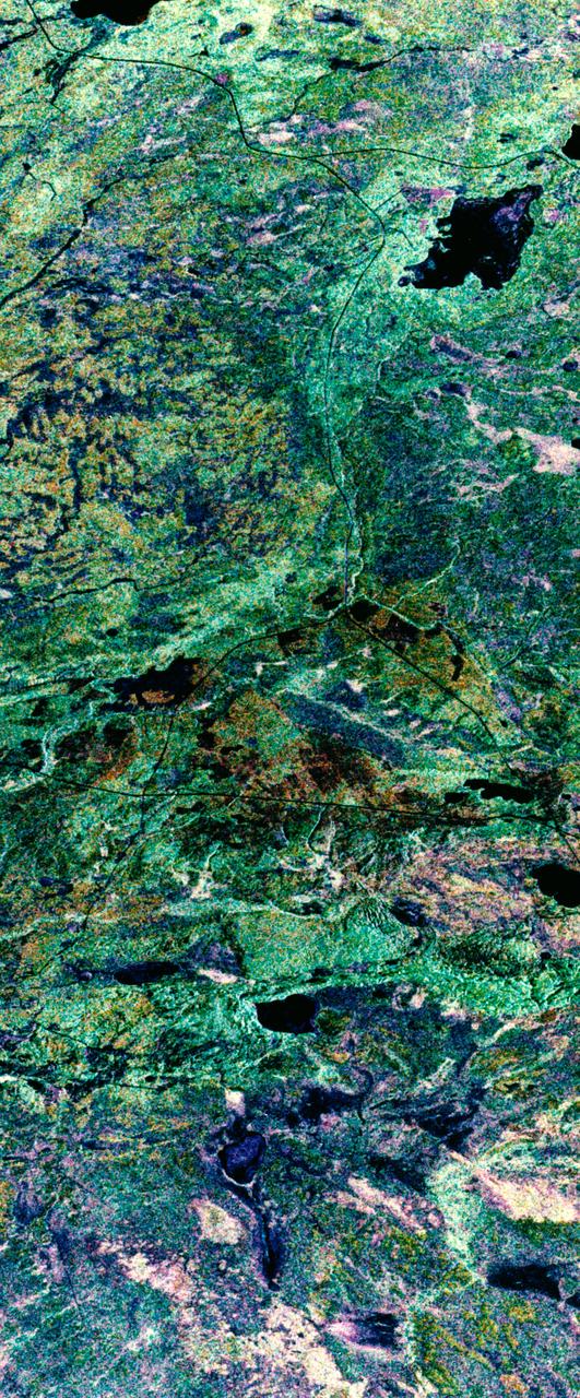
False-color composite image of Prince Albert, Canada
1994-04-11 · NASA Image and Video Library
Three frequency false-color image of Prince Albert, Canada
1994-04-18 · NASA Image and Video Library
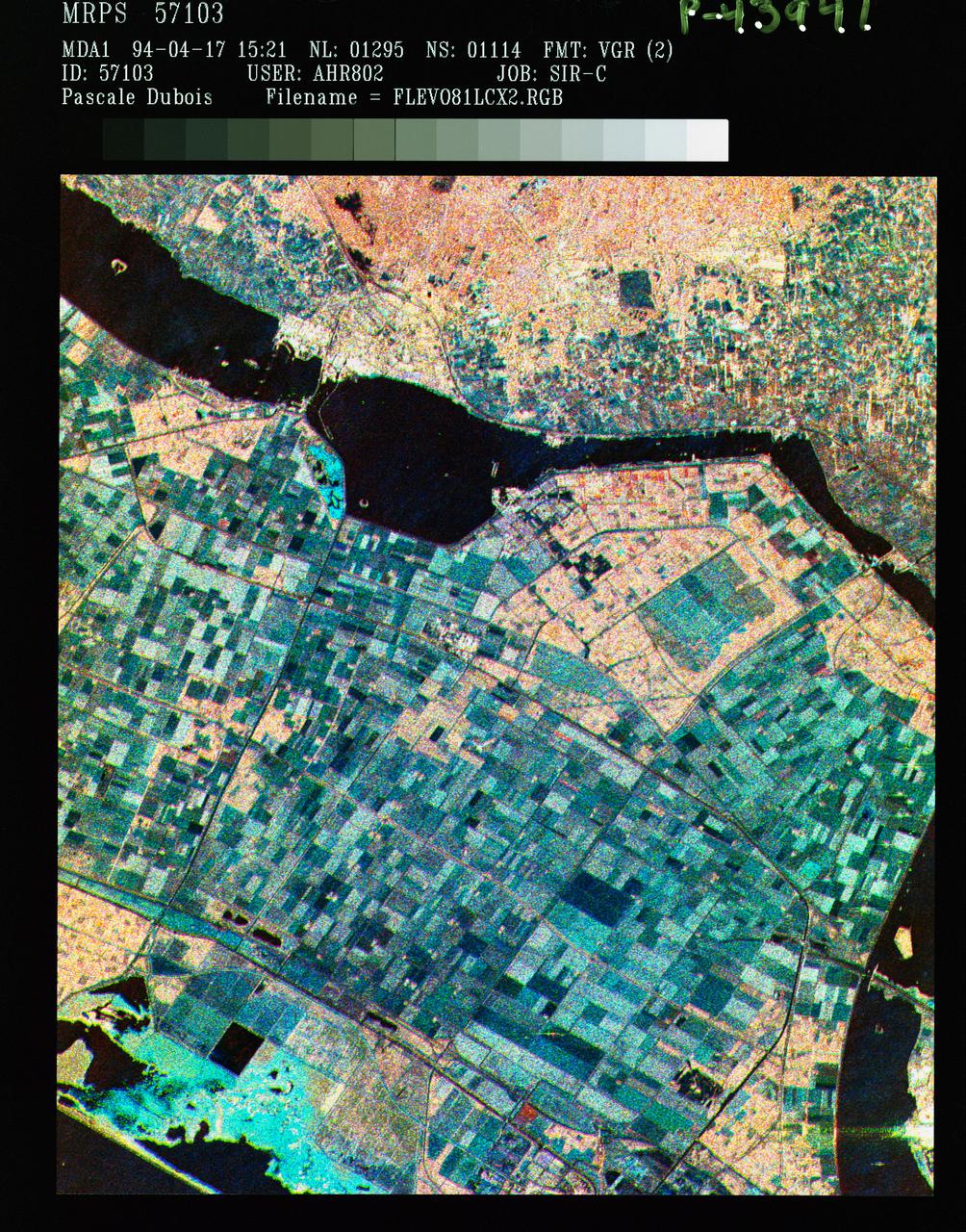
Three frequency false color image of Flevoland, the Netherlands
1994-04-18 · NASA Image and Video Library
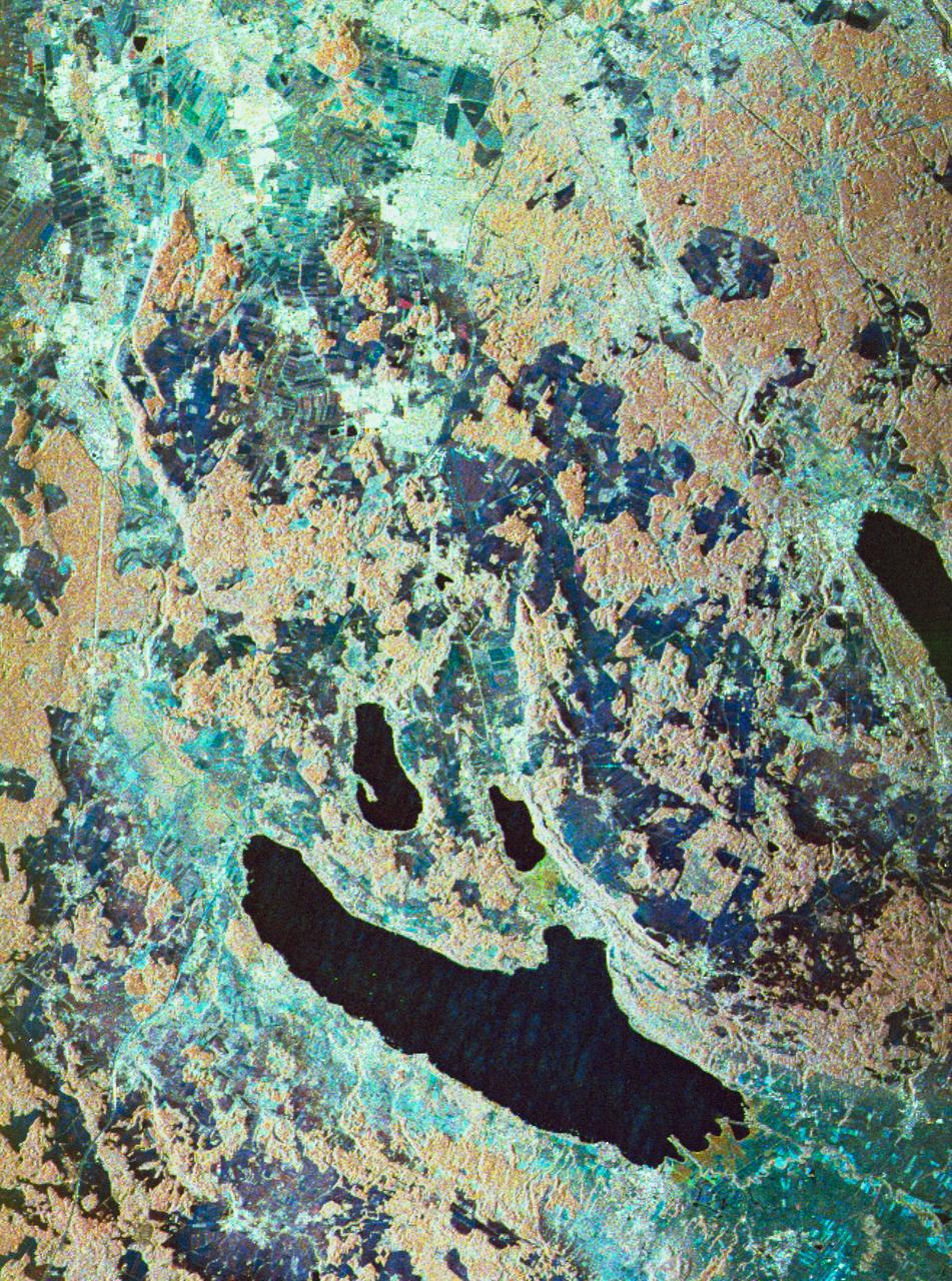
Three frequency false-color image of Oberpfaffenhofen supersite in Germany
1994-04-18 · NASA Image and Video Library
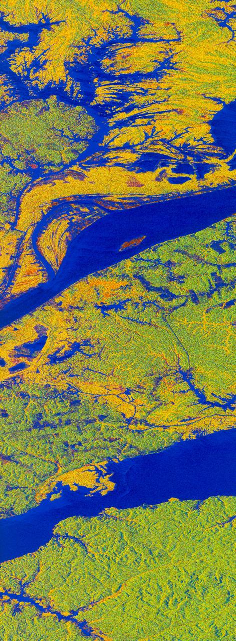
False-color L-band image of Manaus region of Brazil
1994-04-13 · NASA Image and Video Library
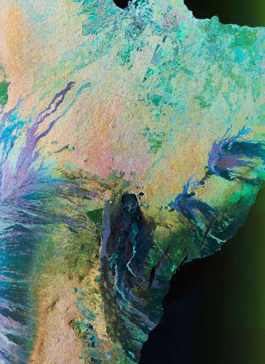
Color composite C-band and L-band image of Kilauea volcanoe on Hawaii
1994-04-15 · NASA Image and Video Library
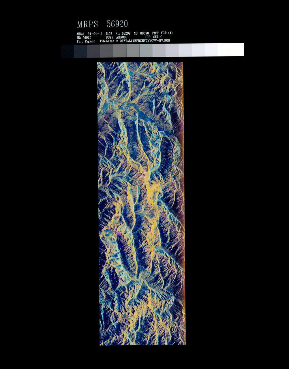
False-color composite of Oetztal, Austria
1994-04-13 · NASA Image and Video Library
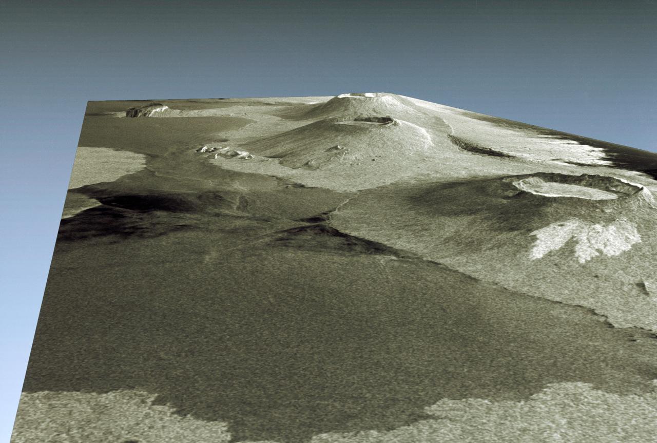
Three dimensional perspective view of portion of western Galapagos Islands
1994-04-18 · NASA Image and Video Library