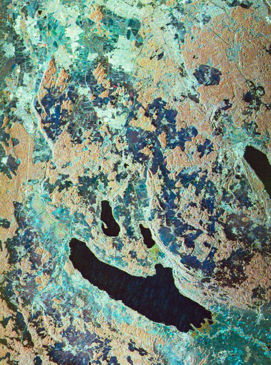
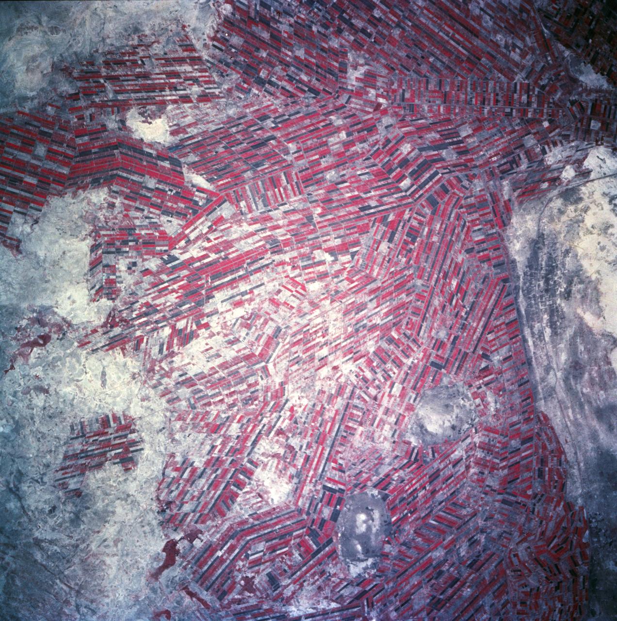
Three frequency false-color image of Oberpfaffenhofen supersite in Germany
STS059-S-080 (18 April 1994) --- This is a false-color three frequency image of the Oberpfaffenhofen supersite, an area just south-west of Munich in southern Germany. The colors show the different conditions that the three radars (X-Band, C-Band and L-Band) can see on the ground. The image covers a 27 by 36 kilometer area. The center of the site is 48.09 degrees north and 11.29 degrees east. The image was acquired by the Spaceborne Imaging Radar-C and X-Band Synthetic Aperture Radar (SIR-C/X-SAR) onboard the Space Shuttle Endeavour on April 11, 1994. The dark area on the left is Lake Ammersee. The two smaller lakes are the Woerthsee and the Pilsensee. On the bottom is the tip of the Starnbergersee. The city of Munich is located just beyond the right of the image. The Oberpfaffenhofen supersite is the major test site for SIR-C/X-SAR calibration and scientific investigations concerning agriculture, forestry, hydrology and geology. This color composite image is a three frequency overlay. L-Band total power was assigned red, the C-Band total power is shown in green and the X-Band VV polarization appears blue. The colors on the image stress the differences between the L-Band, C-Band, X
- Date
- 1994-04-18
- Collection
- JSC
- Archive
- NASA Image and Video Library
- Type
- photograph
Public domainsafest
Reason: a NASA work: not copyrighted in the United States.
Read from: NASA media usage guidelines: NASA material is not copyrighted in the US unless noted; no third-party credit or mark found.
Credit line
"Three frequency false-color image of Oberpfaffenhofen supersite in Germany" (1994-04-18). NASA/JSC. Public domain. https://images.nasa.gov/details/sts059-s-080Need photos for a whole script? Add Find Any Photo to Claude and ask for this one by its id: 15113.
More like this
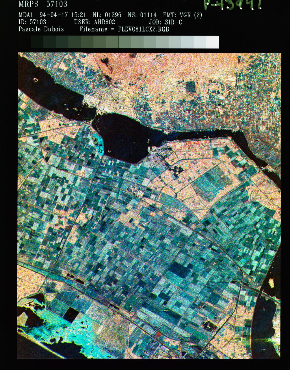
Three frequency false color image of Flevoland, the Netherlands
1994-04-18 · NASA Image and Video Library
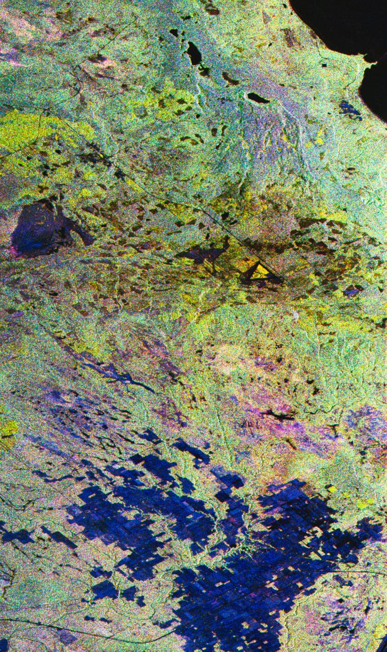
False-color composite image of Raco, Michigan
1994-04-10 · NASA Image and Video Library
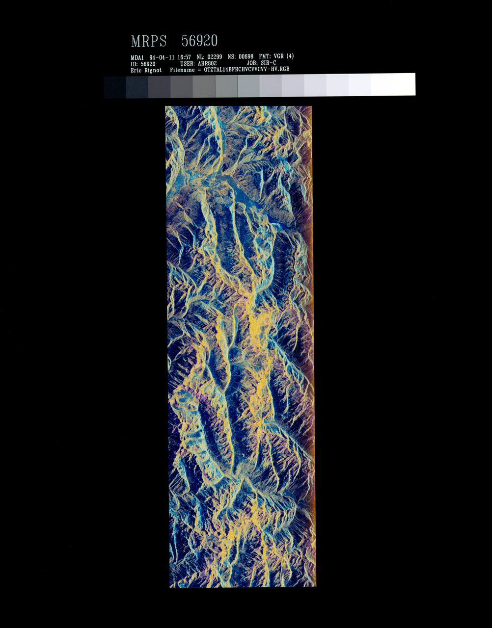
False-color composite of Oetztal, Austria
1994-04-13 · NASA Image and Video Library
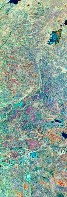
Three frequency false-color image of Prince Albert, Canada
1994-04-18 · NASA Image and Video Library
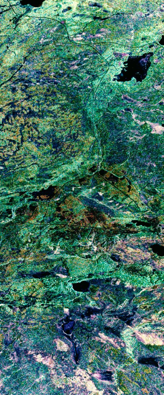
False-color composite image of Prince Albert, Canada
1994-04-11 · NASA Image and Video Library
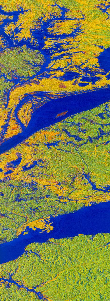
False-color L-band image of Manaus region of Brazil
1994-04-13 · NASA Image and Video Library
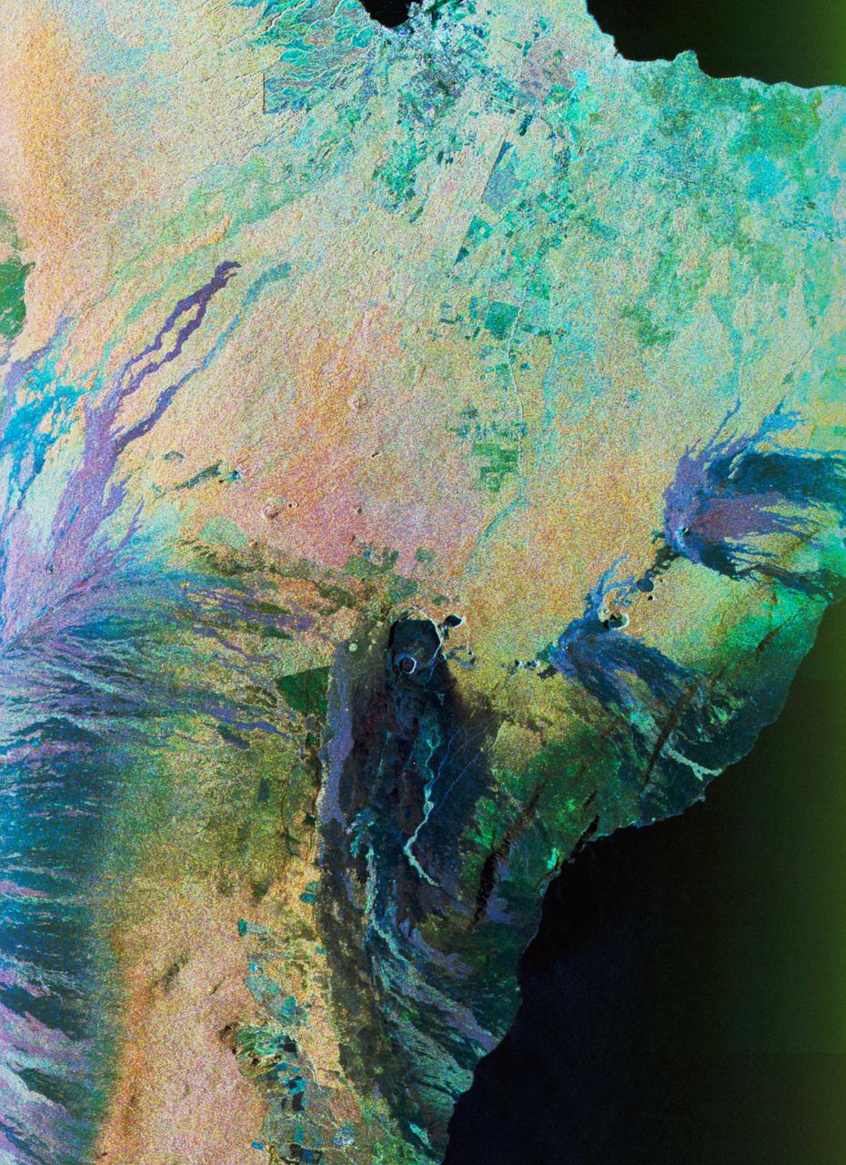
Color composite C-band and L-band image of Kilauea volcanoe on Hawaii
1994-04-15 · NASA Image and Video Library
Sudan, Africa as seen from STS-66 shuttle Atlantis
1994-11-14 · NASA Image and Video Library