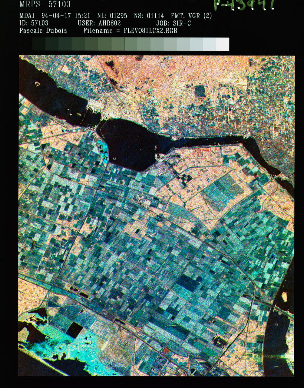
Three frequency false color image of Flevoland, the Netherlands
STS059-S-086 (18 April 1994) --- This is a three-frequency false-color image of Flevoland, the Netherlands, centered at 52.4 degrees north latitude, and 5.4 degrees east longitude. This image was acquired by the Spaceborne Imaging Radar-C and X-Band Synthetic Aperture Radar (SIR-C/X-SAR) aboard the Space Shuttle Endeavour on April 14, 1994. It was produced by combining data from the X-Band, C-Band and L-Band radar's. The area shown is approximately 25 by 28 kilometers (15 1/2 by 17 1/2 miles). Flevoland, which fills the lower two-thirds of the image, is a very flat area that is made up of reclaimed land that is used for agriculture and forestry. At the top of the image, across the canal from Flevoland, is an older forest shown in red; the city of Harderwijk is shown in white on the shore of the canal. At this time of the year, the agricultural fields are bare soil, and they show up in this images in blue. The changes in the brightness of the blue areas are equal to the changes in roughness. The dark blue areas are water and the small dots in the canal are boats. This SIR-C/X-SAR supersite is being used for both calibration and agricultural studies. Several soil and crop ground-trut
- Date
- 1994-04-18
- Collection
- JSC
- Archive
- NASA Image and Video Library
- Type
- photograph
Public domainsafest
Reason: a NASA work: not copyrighted in the United States.
Read from: NASA media usage guidelines: NASA material is not copyrighted in the US unless noted; no third-party credit or mark found.
Credit line
"Three frequency false color image of Flevoland, the Netherlands" (1994-04-18). NASA/JSC. Public domain. https://images.nasa.gov/details/sts059-s-086Need photos for a whole script? Add Find Any Photo to Claude and ask for this one by its id: 15086.
More like this
Three frequency false-color image of Oberpfaffenhofen supersite in Germany
1994-04-18 · NASA Image and Video Library
Three frequency false-color image of Prince Albert, Canada
1994-04-18 · NASA Image and Video Library
False-color composite image of Raco, Michigan
1994-04-10 · NASA Image and Video Library
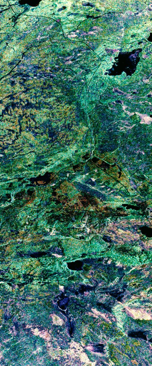
False-color composite image of Prince Albert, Canada
1994-04-11 · NASA Image and Video Library
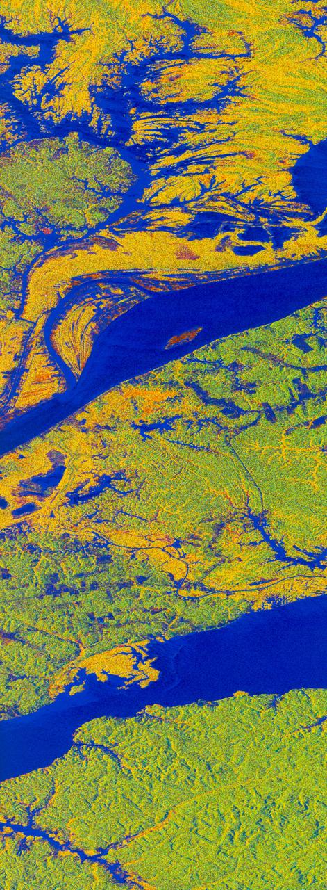
False-color L-band image of Manaus region of Brazil
1994-04-13 · NASA Image and Video Library
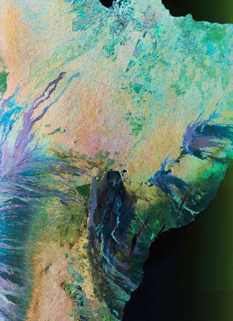
Color composite C-band and L-band image of Kilauea volcanoe on Hawaii
1994-04-15 · NASA Image and Video Library
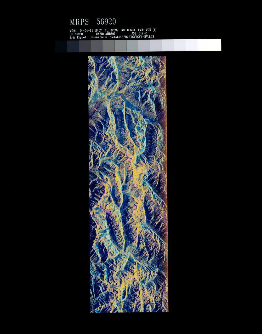
False-color composite of Oetztal, Austria
1994-04-13 · NASA Image and Video Library
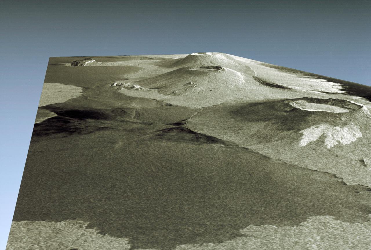
Three dimensional perspective view of portion of western Galapagos Islands
1994-04-18 · NASA Image and Video Library