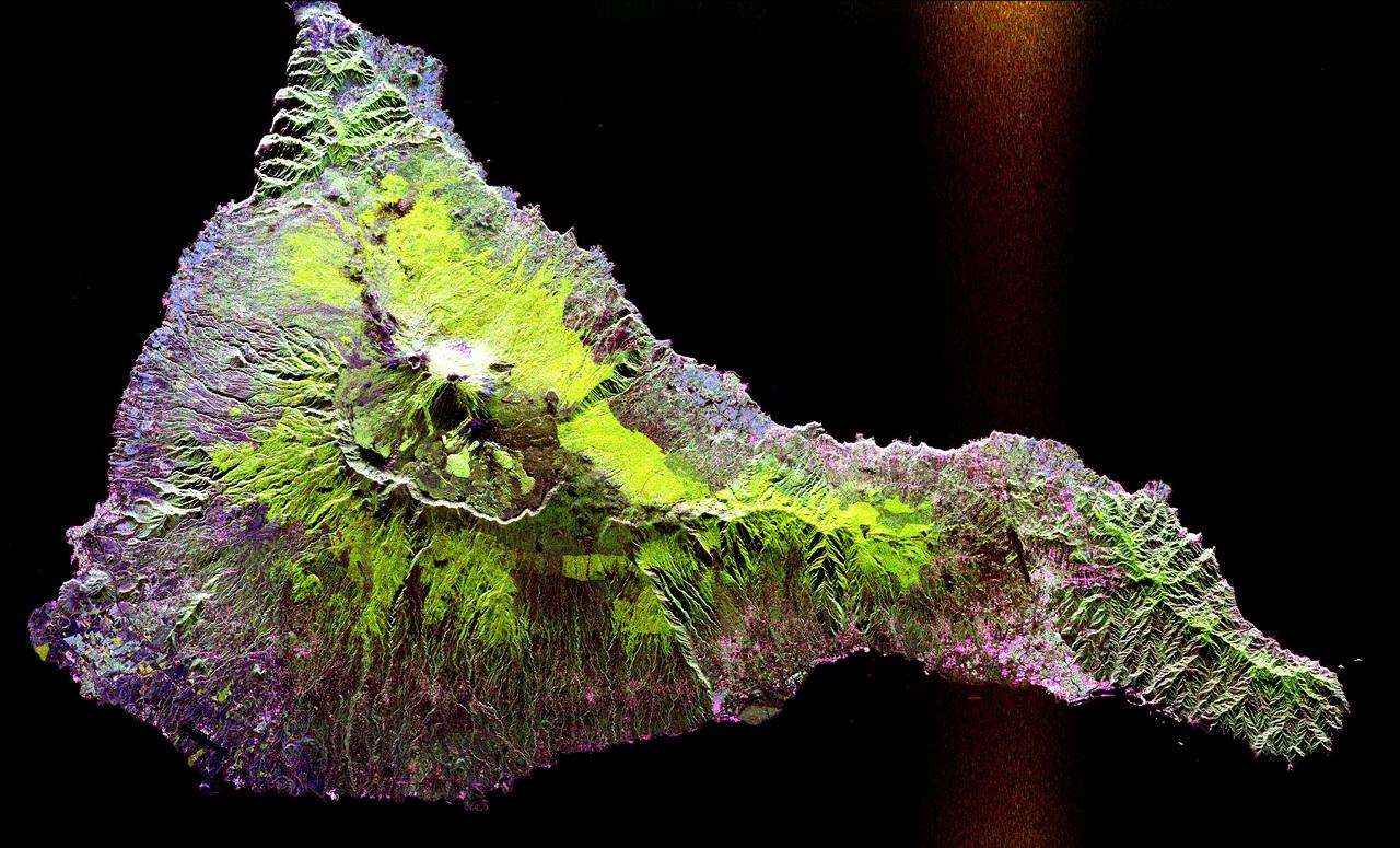
Space Radar Image of Teide Volcano
This radar image shows the Teide volcano on the island of Tenerife in the Canary Islands. The Canary Islands, part of Spain, are located in the eastern Atlantic Ocean off the coast of Morocco. Teide has erupted only once in the 20th Century, in 1909, but is considered a potentially threatening volcano due to its proximity to the city of Santa Cruz de Tenerife, shown in this image as the purple and white area on the lower right edge of the island. The summit crater of Teide, clearly visible in the left center of the image, contains lava flows of various ages and roughnesses that appear in shades of green and brown. Different vegetation zones, both natural and agricultural, are detected by the radar as areas of purple, green and yellow on the volcano's flanks. Scientists are using images such as this to understand the evolution of the structure of Teide, especially the formation of the summit caldera and the potential for collapse of the flanks. The volcano is one of 15 identified by scientists as potentially hazardous to local populations, as part of the international The image was acquired by the Spaceborne Imaging Radar-C/X-Band Synthetic Aperture Radar (SIR-C/X-SAR) onboard the s
- Date
- 1999-04-15
- Photographer / author
- NASA/JPL
- Collection
- JPL
- Archive
- NASA Image and Video Library
- Type
- photograph
Public domainsafest
Reason: a NASA work: not copyrighted in the United States.
Read from: NASA media usage guidelines: NASA material is not copyrighted in the US unless noted; no third-party credit or mark found.
Credit line
"Space Radar Image of Teide Volcano" (1999-04-15). NASA/JPL/NASA/JPL. Public domain. https://images.nasa.gov/details/PIA01779Need photos for a whole script? Add Find Any Photo to Claude and ask for this one by its id: 90980.
More like this
Space Radar Image of Vesuvius, Italy
1999-04-15 · NASA Image and Video Library
Space Radar Image of Colima Volcano, Jalisco, Mexico
1999-05-01 · NASA Image and Video Library
Tenarife Island, Canary Island Archipelago, Atlantic Ocean
1991-08-11 · NASA Image and Video Library
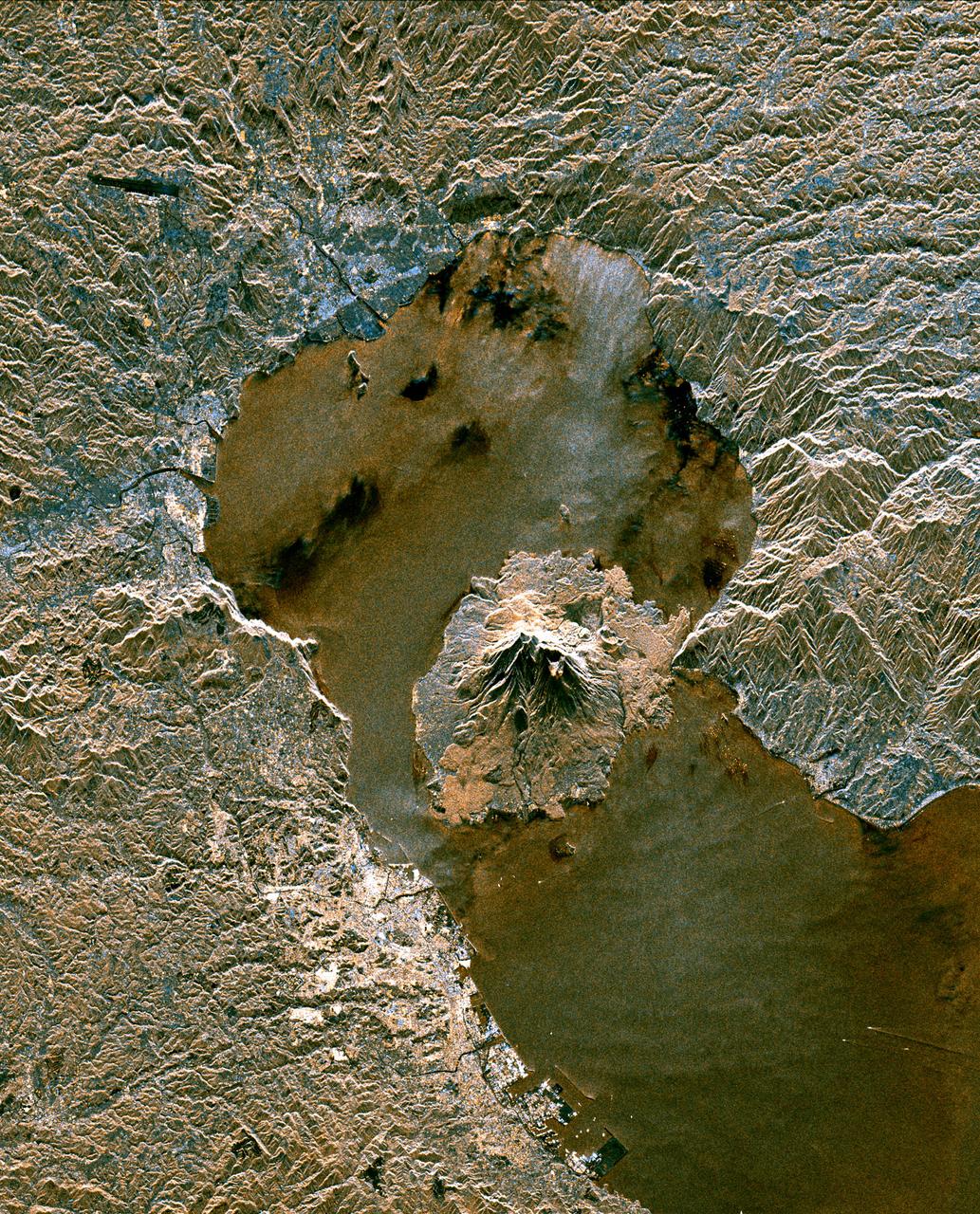
Space Radar Image of Sakura-Jima Volcano, Japan
1999-04-15 · NASA Image and Video Library
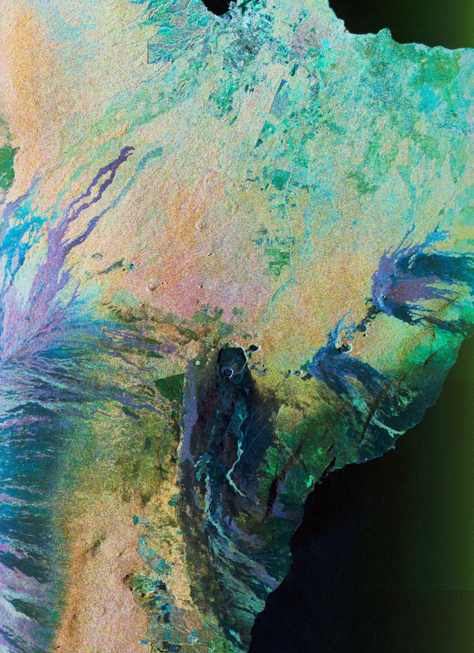
Color composite C-band and L-band image of Kilauea volcanoe on Hawaii
1994-04-15 · NASA Image and Video Library

Space Radar Image of Taal Volcano, Philippines
1999-05-01 · NASA Image and Video Library
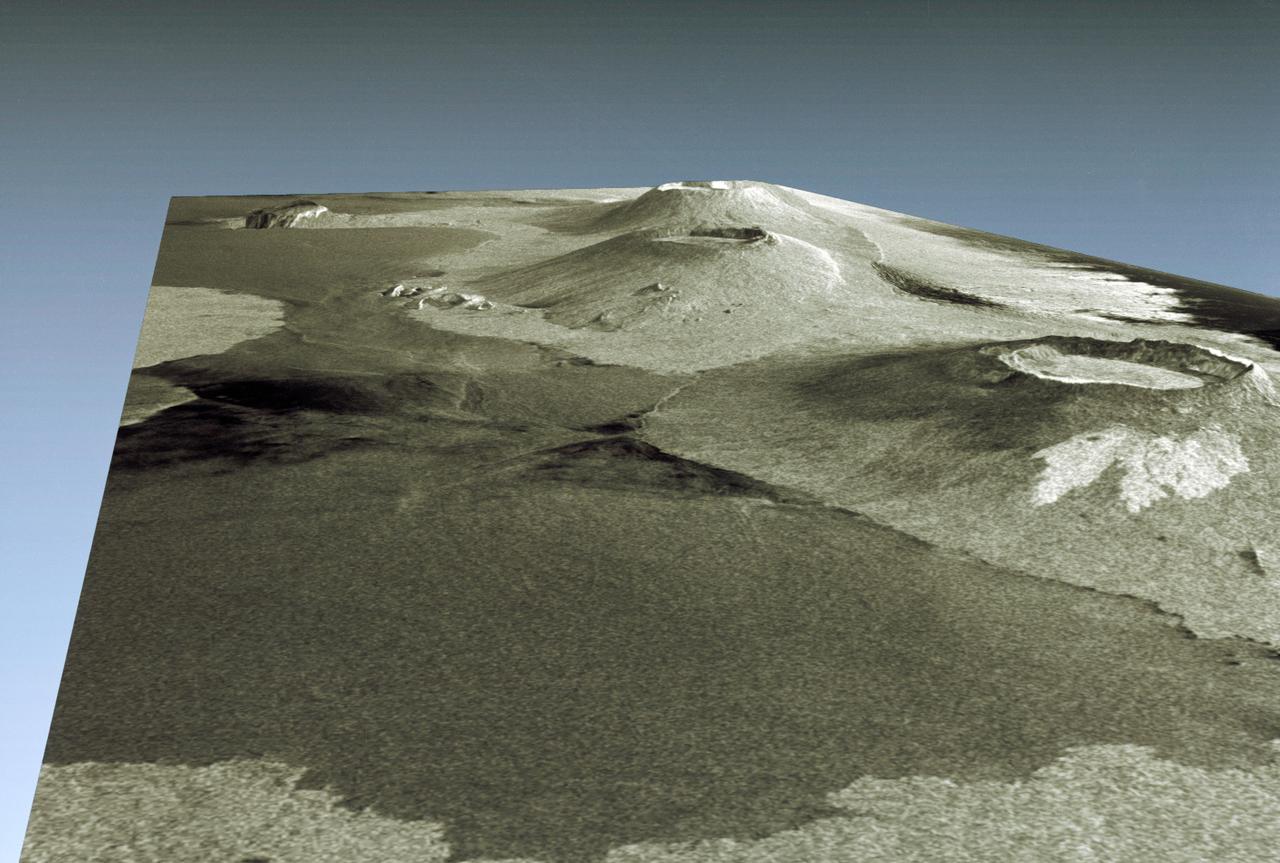
Three dimensional perspective view of portion of western Galapagos Islands
1994-04-18 · NASA Image and Video Library
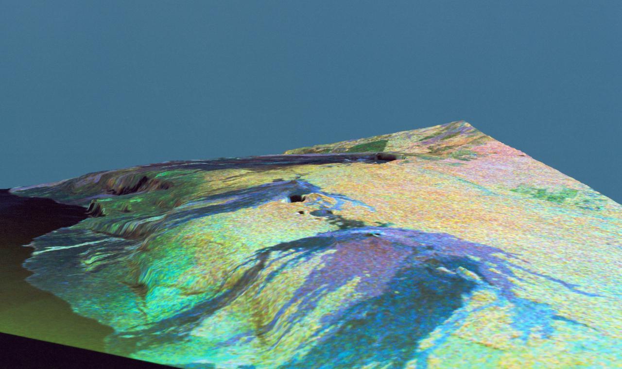
Three dimensional perspective view of false-color image of eastern Hawaii
1994-04-18 · NASA Image and Video Library