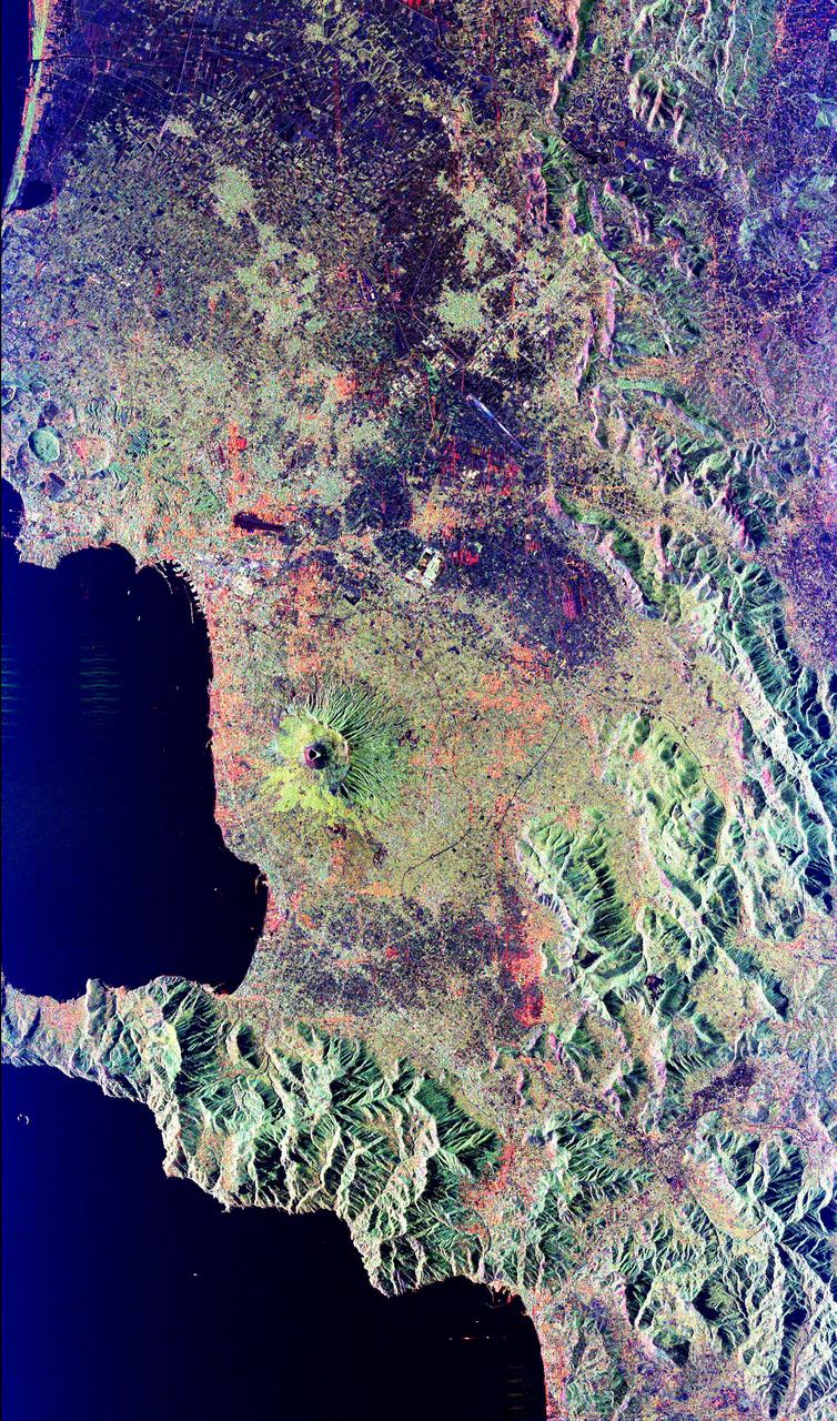
Space Radar Image of Vesuvius, Italy
Mt. Vesuvius, one of the best known volcanoes in the world primarily for the eruption that buried the Roman city of Pompeii, is shown in the center of this radar image. The central cone of Vesuvius is the dark purple feature in the center of the volcano. This cone is surrounded on the northern and eastern sides by the old crater rim, called Mt. Somma. Recent lava flows are the pale yellow areas on the southern and western sides of the cone. Vesuvius is part of a large volcanic zone which includes the Phalagrean Fields, the cluster of craters seen along the left side of the image. The Bay of Naples, on the left side of the image, is separated from the Gulf of Salerno, in the lower left, by the Sorrento Peninsula. Dense urban settlement can be seen around the volcano. The city of Naples is above and to the left of Vesuvius; the seaport of the city can be seen in the top of the bay. Pompeii is located just below the volcano on this image. The rapid eruption in 79 A.D. buried the victims and buildings of Pompeii under several meters of debris and killed more than 2,000 people. Due to the violent eruptive style and proximity to populated areas, Vesuvius has been named by the internation
- Date
- 1999-04-15
- Photographer / author
- NASA/JPL
- Collection
- JPL
- Archive
- NASA Image and Video Library
- Type
- photograph
Public domainsafest
Reason: a NASA work: not copyrighted in the United States.
Read from: NASA media usage guidelines: NASA material is not copyrighted in the US unless noted; no third-party credit or mark found.
Credit line
"Space Radar Image of Vesuvius, Italy" (1999-04-15). NASA/JPL/NASA/JPL. Public domain. https://images.nasa.gov/details/PIA01780Need photos for a whole script? Add Find Any Photo to Claude and ask for this one by its id: 90979.
More like this
Space Radar Image of Colima Volcano, Jalisco, Mexico
1999-05-01 · NASA Image and Video Library
Space Radar Image of Sakura-Jima Volcano, Japan
1999-04-15 · NASA Image and Video Library
Space Radar Image of Teide Volcano
1999-04-15 · NASA Image and Video Library

Space Radar Image of Taal Volcano, Philippines
1999-05-01 · NASA Image and Video Library
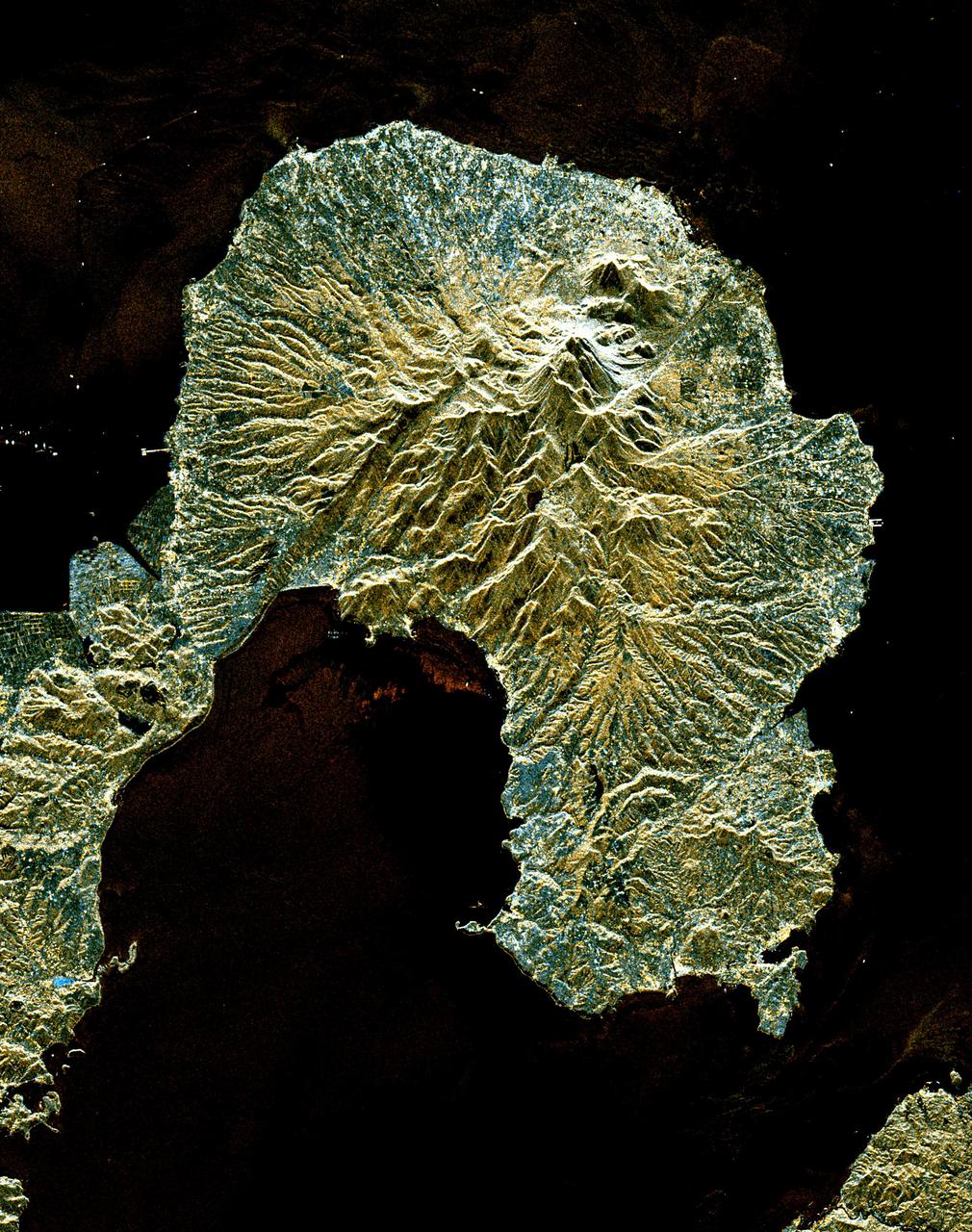
Unzen Volcano, Japan
1996-11-13 · NASA Image and Video Library
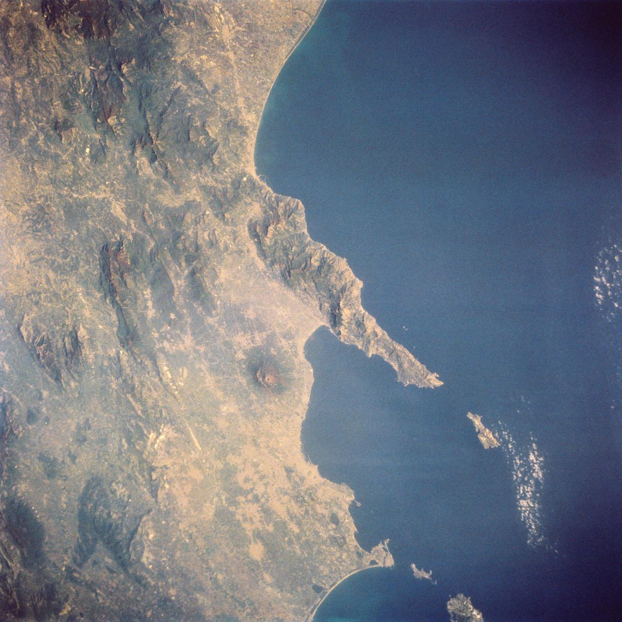
Mt. Vesuvius and Naples, Italy as seen from STS-58
1993-10-20 · NASA Image and Video Library
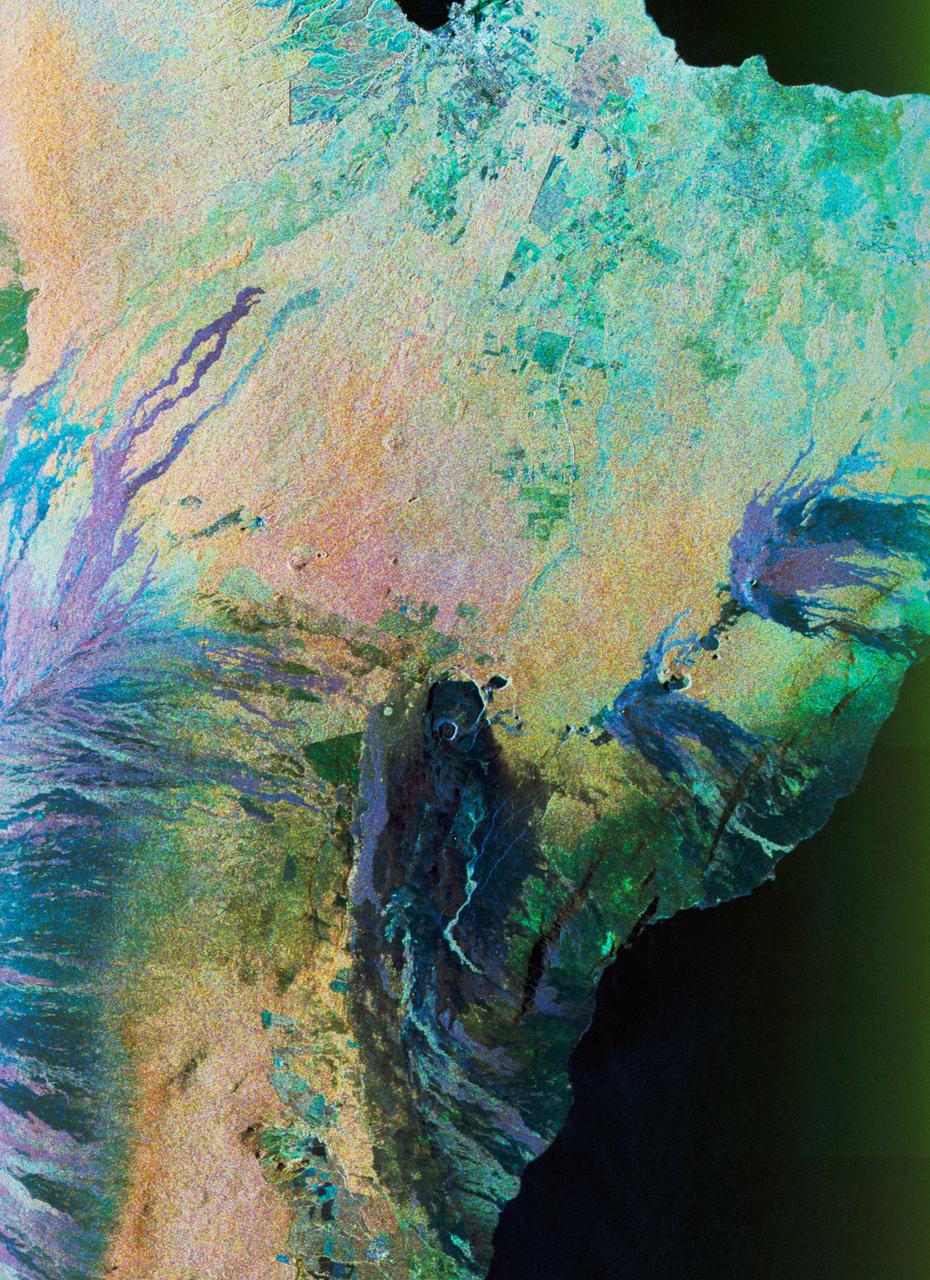
Color composite C-band and L-band image of Kilauea volcanoe on Hawaii
1994-04-15 · NASA Image and Video Library
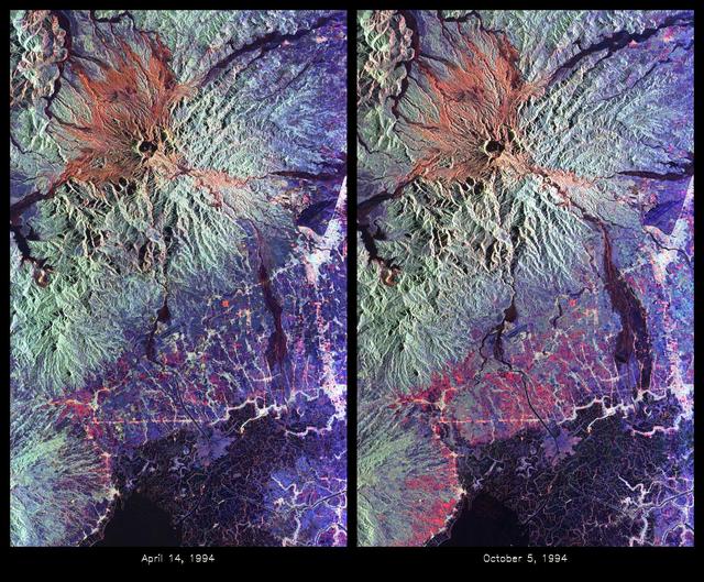
Space Radar Image of Mount Pinatubo Volcano, Philippines
1999-05-01 · NASA Image and Video Library