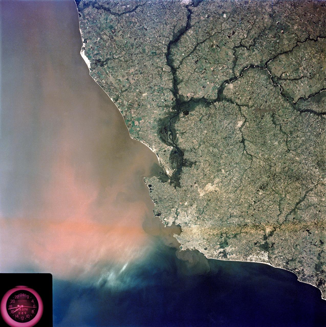
View of Montevideo, Uruguay area of South America
SL3-84-202 (July-September 1973) --- A vertical view of the Montevideo, Uruguay area of South America is seen in this Skylab 3 Earth Resources Experiments Package S190-B (five-inch Earth terrain camera) photograph taken from the Skylab space station in Earth orbit. The large body of water is Rio de la Plata which flows into the South Atlantic Ocean at the bottom of the picture. The red plum in the Rio de la Plata is probably sediment moving seaward. The Santa Lucia River enters the Rio de la Plata west of Montevideo and is the major drainage for the region. Note the small Isla del Tigre at the mouth of the Santa Lucia. The white beach and sand dune areas are plainly visible along the coast. A major airport can be seen immediately east of downtown Montevideo. Major thoroughfares and residential areas, such as the bright one in the suburbs, are clearly visible, also. Farm tracts in green and grey rectangular patterns indicate agricultural regions. Photo credit: NASA
- Date
- 1973-08-15
- Collection
- JSC
- Archive
- NASA Image and Video Library
- Type
- photograph
Public domainsafest
Reason: a NASA work: not copyrighted in the United States.
Read from: NASA media usage guidelines: NASA material is not copyrighted in the US unless noted; no third-party credit or mark found.
Credit line
"View of Montevideo, Uruguay area of South America" (1973-08-15). NASA/JSC. Public domain. https://images.nasa.gov/details/SL3-84-0202Need photos for a whole script? Add Find Any Photo to Claude and ask for this one by its id: 13862.
More like this
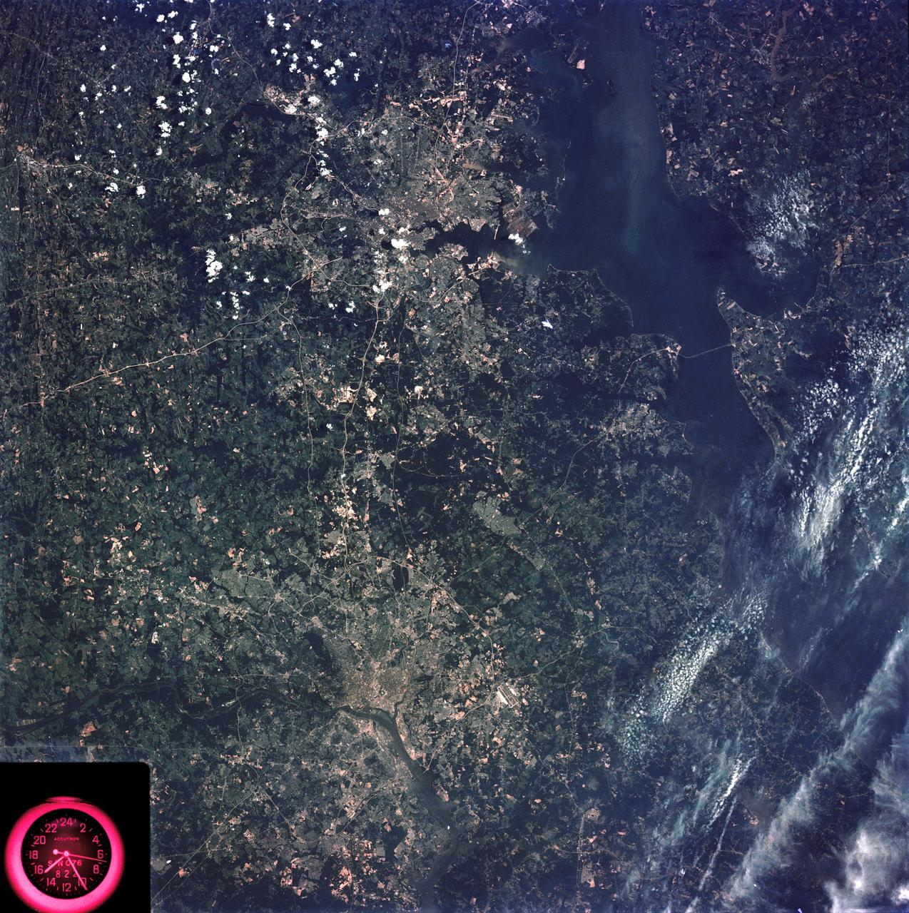
Washington, D.C. and the Baltimore, Maryland area
1973-08-15 · NASA Image and Video Library
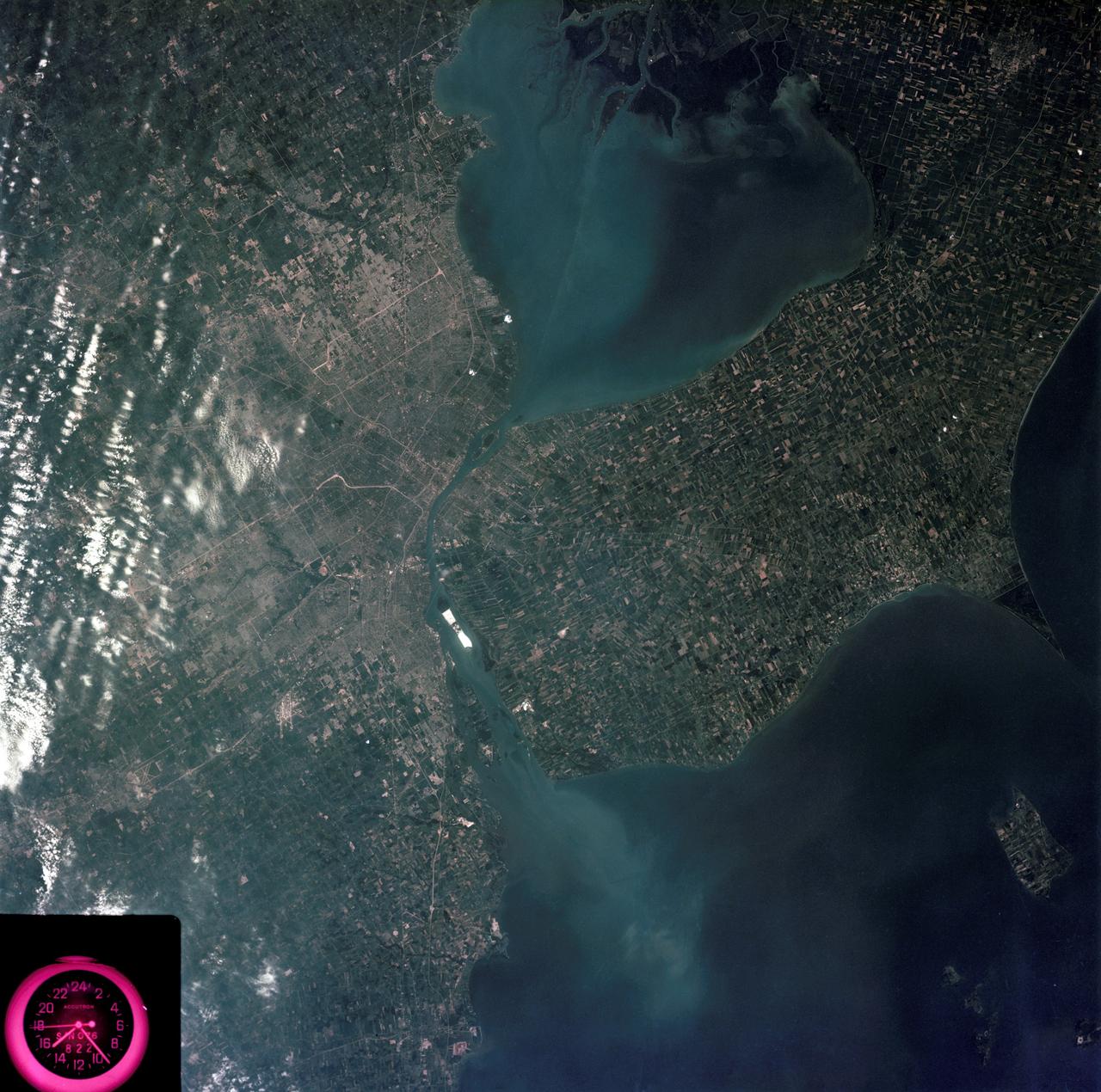
Detroit, Michigan metropolitan area photographed from Skylab
1973-08-05 · NASA Image and Video Library
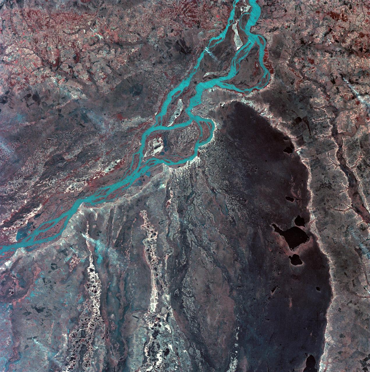
View of Argentina-Paraguay border area of South America
1973-08-30 · NASA Image and Video Library
View of Minneapolis-St.Paul, Minnesota area
1973-08-30 · NASA Image and Video Library
View of southeastern New York State
1973-08-15 · NASA Image and Video Library
View of the Salt Lake City, Utah area
1973-08-30 · NASA Image and Video Library
Mobile Bay, Alabama area seen in Skylab 4 Earth Resources Experiment Package
1974-02-01 · NASA Image and Video Library
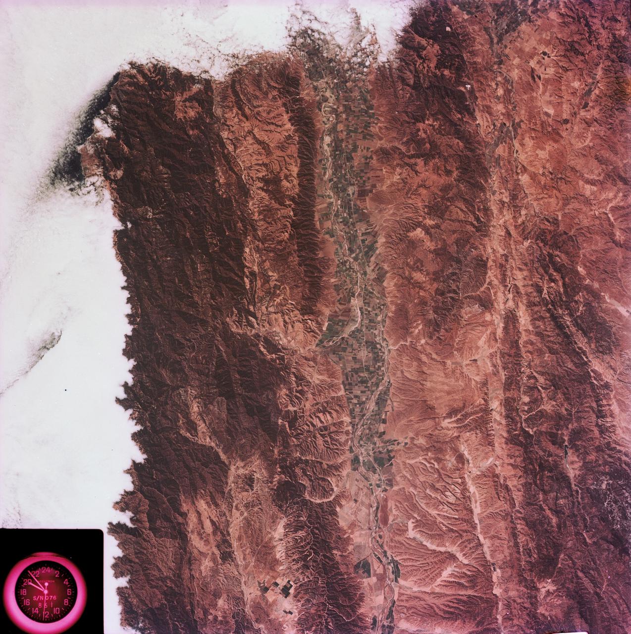
View of the Salinas River Valley area south of Monterey Bay, California
1973-08-15 · NASA Image and Video Library